Elevation of Cyanide Mountain, Montana, USA
Location: United States > Montana > Augusta >
Longitude: -112.76059
Latitude: 47.4207769
Elevation: 2361m / 7746feet
Barometric Pressure: 76KPa
Elevation Map:
Satellite Map:
Related Photos:
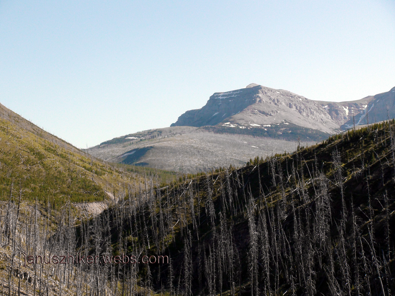
First Alpine Views
Topographic Map of Cyanide Mountain, Montana, USA
Find elevation by address:

Places near Cyanide Mountain, Montana, USA:
Crown Mountain
Fairview Mountain
Wood Creek Hogback
Halfmoon Peak
Mccarty Hill
Cigarette Rock
Lime Ridge
Renshaw Mountain
Allan Mountain
Sawtooth Ridge South
Steamboat Mountain
Sawtooth Ridge
Flint Mountain
Grassy Hills Hp
Sugarloaf Mountain
Observation Point
Gibson Reservoir
Olson Peak
Galusha Peak
Trident Peaks
Recent Searches:
- Elevation of Corso Fratelli Cairoli, 35, Macerata MC, Italy
- Elevation of Tallevast Rd, Sarasota, FL, USA
- Elevation of 4th St E, Sonoma, CA, USA
- Elevation of Black Hollow Rd, Pennsdale, PA, USA
- Elevation of Oakland Ave, Williamsport, PA, USA
- Elevation of Pedrógão Grande, Portugal
- Elevation of Klee Dr, Martinsburg, WV, USA
- Elevation of Via Roma, Pieranica CR, Italy
- Elevation of Tavkvetili Mountain, Georgia
- Elevation of Hartfords Bluff Cir, Mt Pleasant, SC, USA