Elevation of Galusha Peak, Montana, USA
Location: United States > Montana > Lincoln >
Longitude: -112.79087
Latitude: 47.2068867
Elevation: 2583m / 8474feet
Barometric Pressure: 74KPa
Elevation Map:
Satellite Map:
Related Photos:
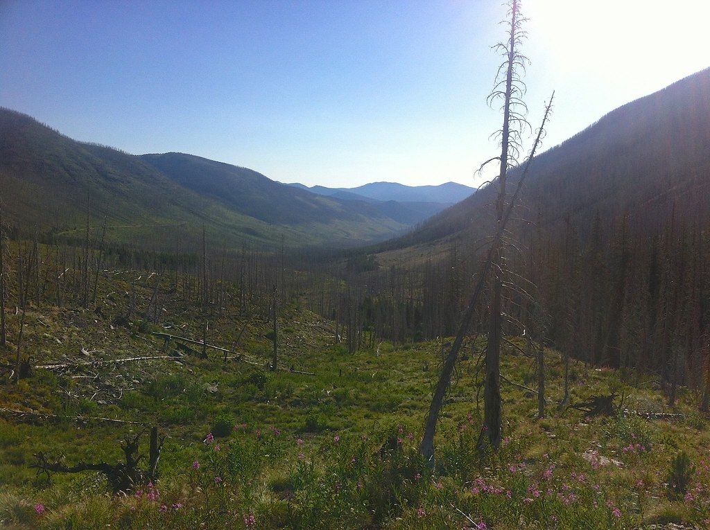
Fire-killed Trees - 1
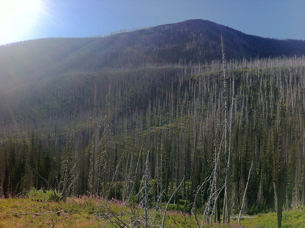
Fire-killed Trees - 5
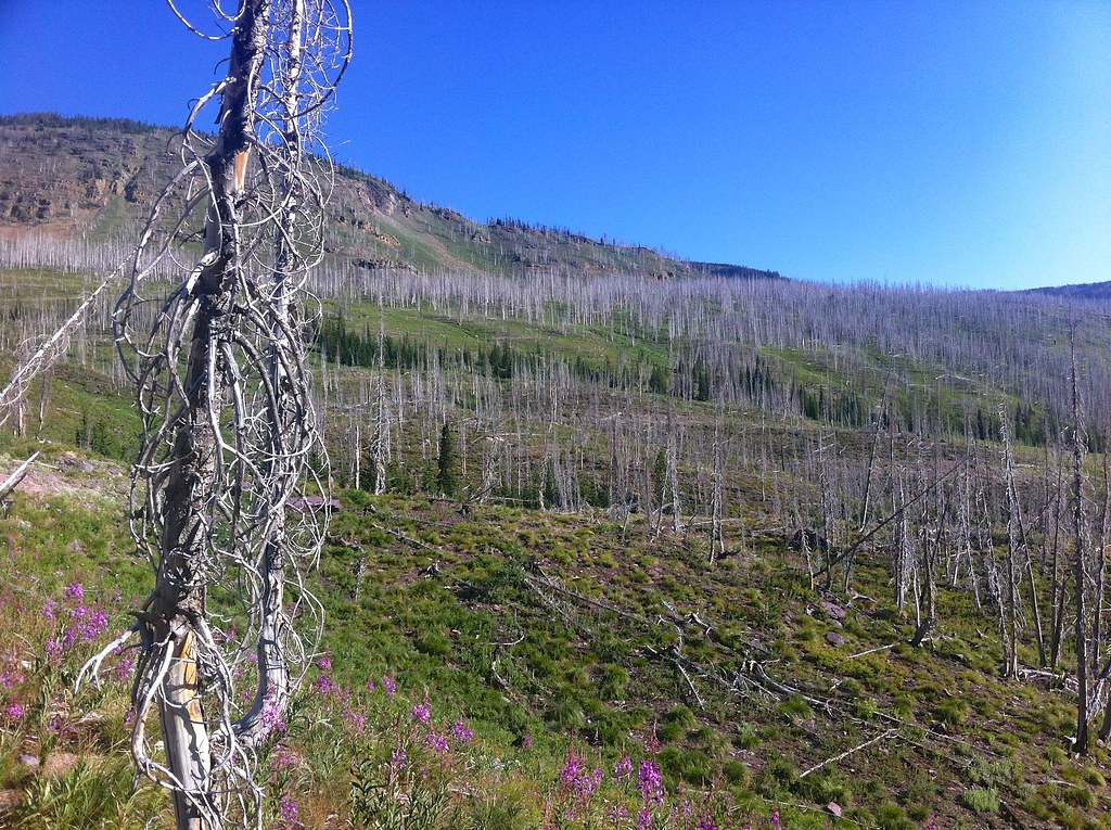
Fire-killed Trees - 3
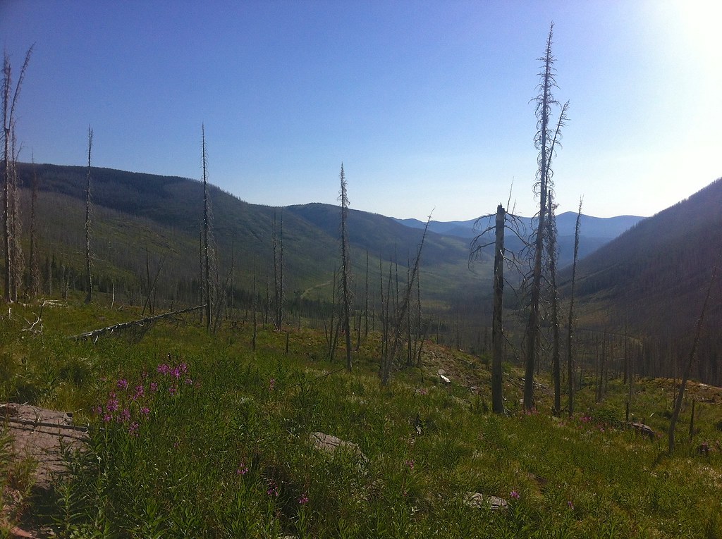
Fire-killed Trees - 6
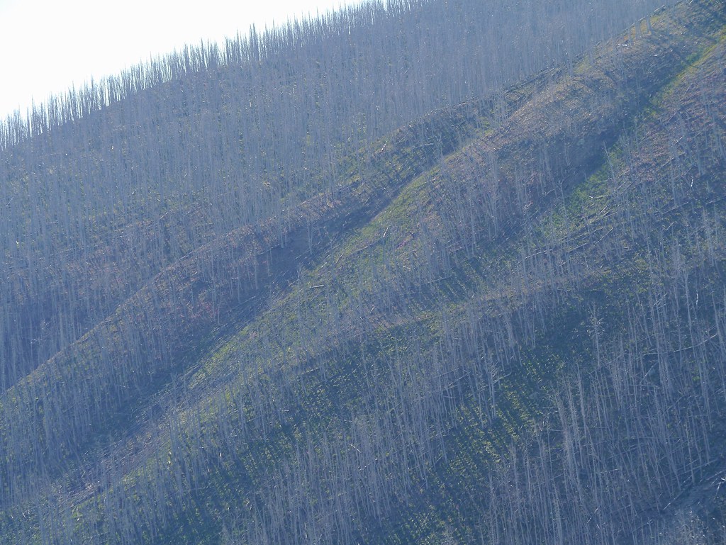
Fire-killed Trees - 8

Fire-killed Trees - 7
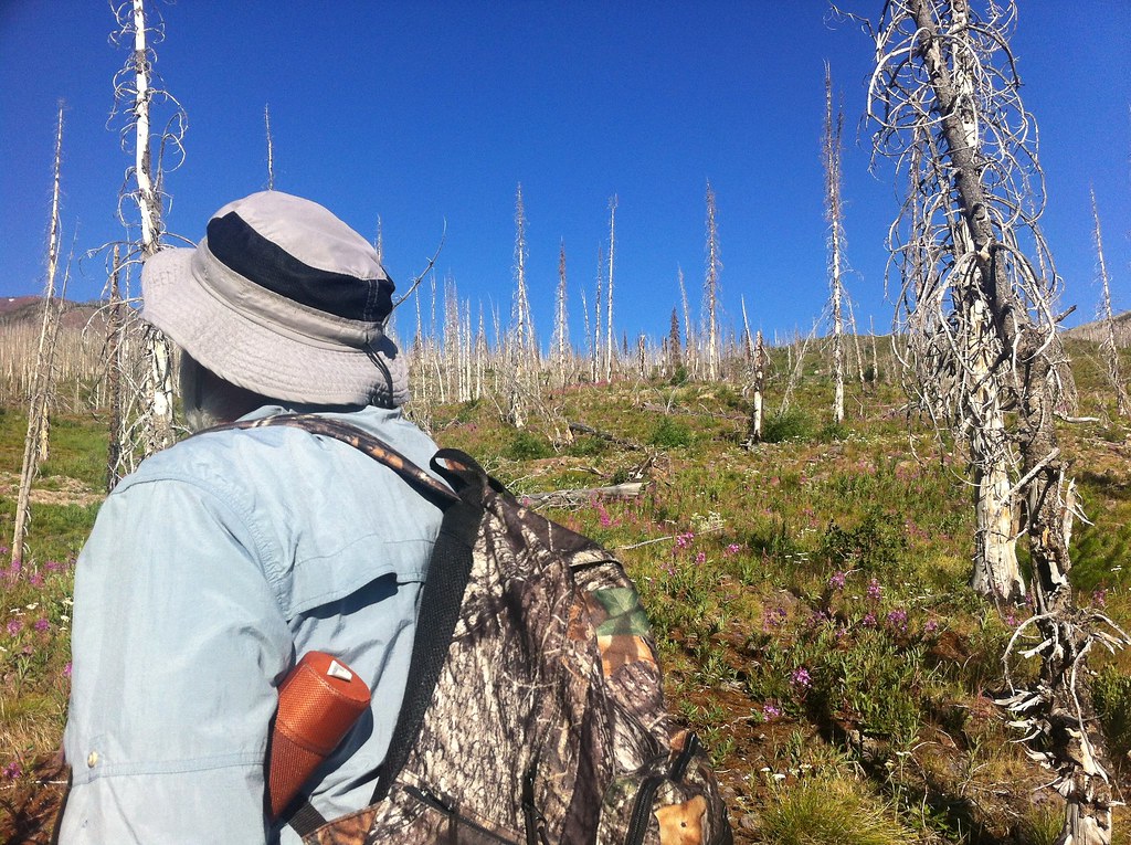
Fire-killed Trees - 2

Fire-killed Trees - 4
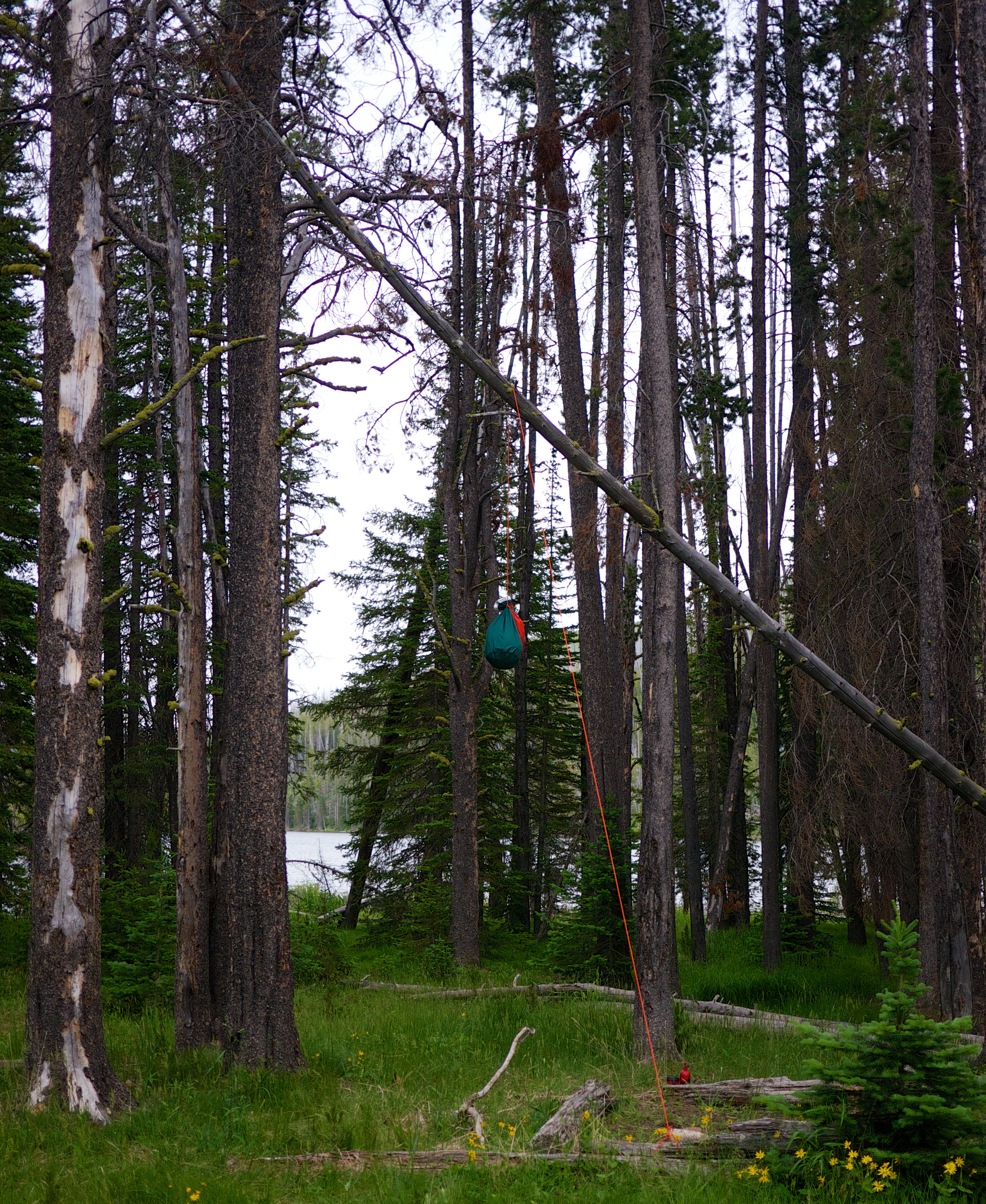
Not a bad bear bag hang
Topographic Map of Galusha Peak, Montana, USA
Find elevation by address:

Places near Galusha Peak, Montana, USA:
Olson Peak
Bugle Mountain
Red Mountain
Falls Point
Grassy Hills Hp
Daly Peak
Echo Mountain
Arrastra Mountain
Halfmoon Peak
Cigarette Rock
Crown Mountain
Steamboat Mountain
Flint Mountain
Lake Mountain
8288 Cooper Lake Rd
8266 Cooper Lake Rd
Stonewall Mountain
8235 Cooper Lake Rd
White Tail Ranch
Observation Point
Recent Searches:
- Elevation of Corso Fratelli Cairoli, 35, Macerata MC, Italy
- Elevation of Tallevast Rd, Sarasota, FL, USA
- Elevation of 4th St E, Sonoma, CA, USA
- Elevation of Black Hollow Rd, Pennsdale, PA, USA
- Elevation of Oakland Ave, Williamsport, PA, USA
- Elevation of Pedrógão Grande, Portugal
- Elevation of Klee Dr, Martinsburg, WV, USA
- Elevation of Via Roma, Pieranica CR, Italy
- Elevation of Tavkvetili Mountain, Georgia
- Elevation of Hartfords Bluff Cir, Mt Pleasant, SC, USA