Elevation of Arrastra Mountain, Montana, USA
Location: United States > Montana > Ovando >
Longitude: -112.82587
Latitude: 47.071052
Elevation: 2403m / 7884feet
Barometric Pressure: 76KPa
Elevation Map:
Satellite Map:
Related Photos:
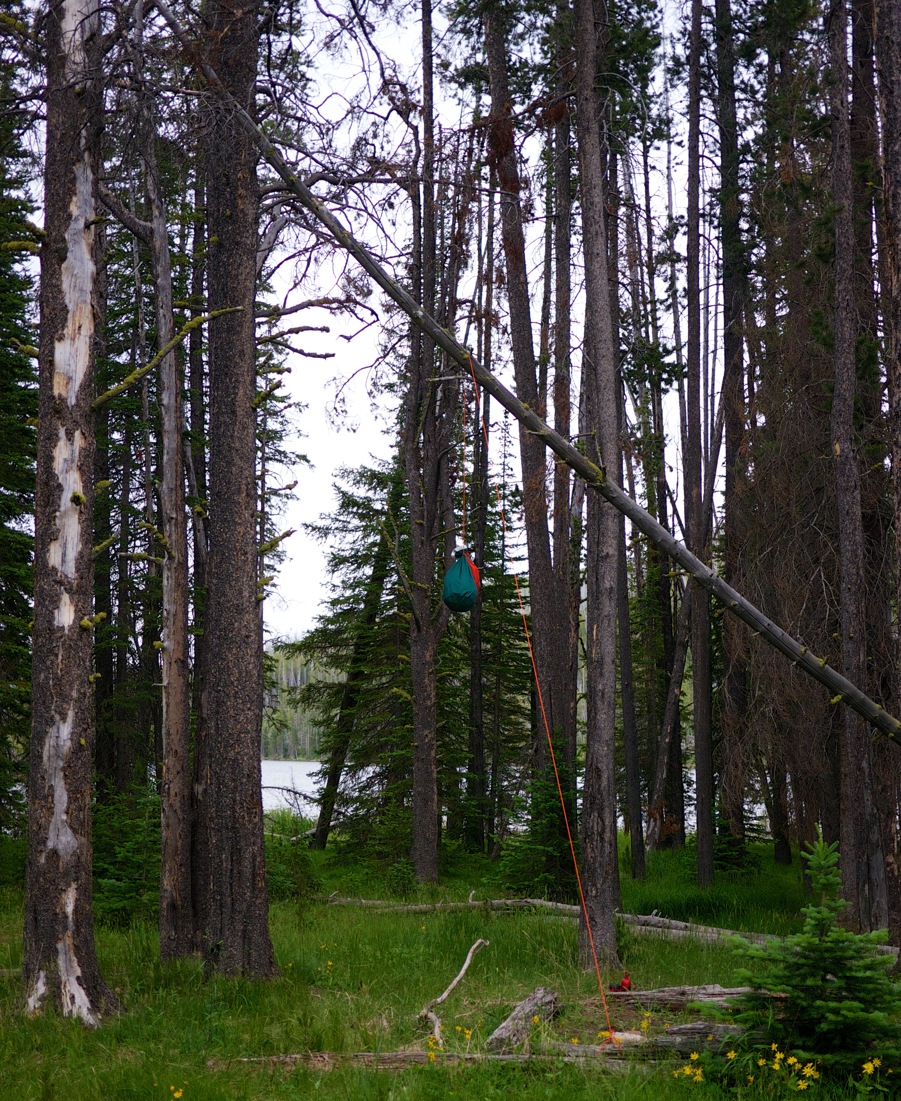
Not a bad bear bag hang
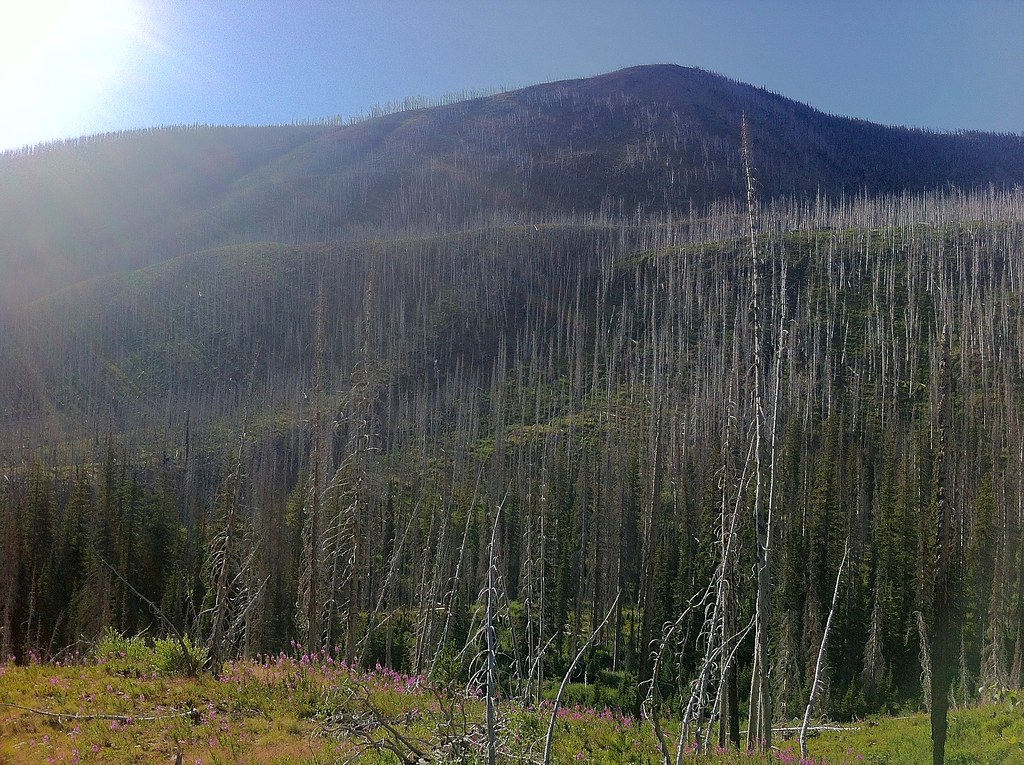
Fire-killed Trees - 5
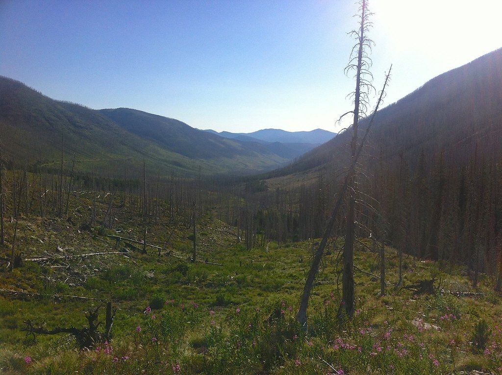
Fire-killed Trees - 1
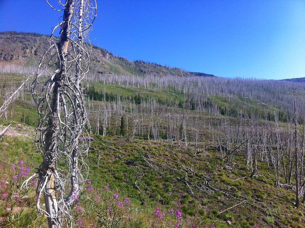
Fire-killed Trees - 3
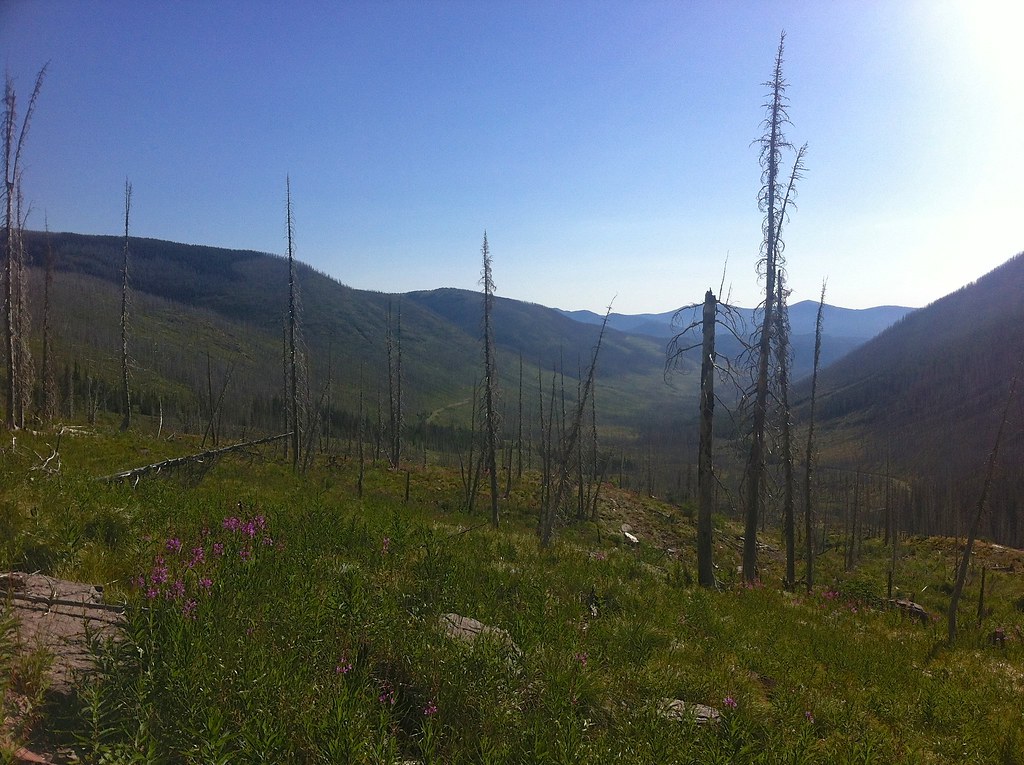
Fire-killed Trees - 6
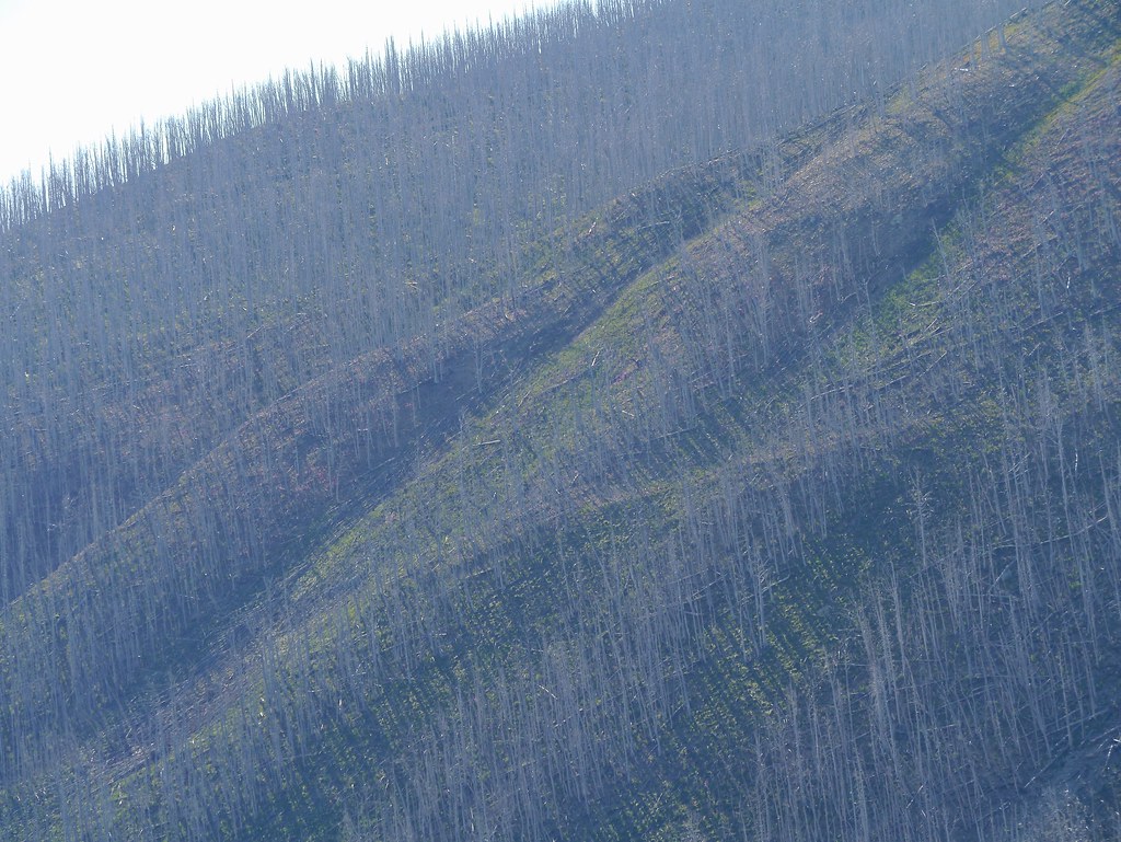
Fire-killed Trees - 8

Fire-killed Trees - 7
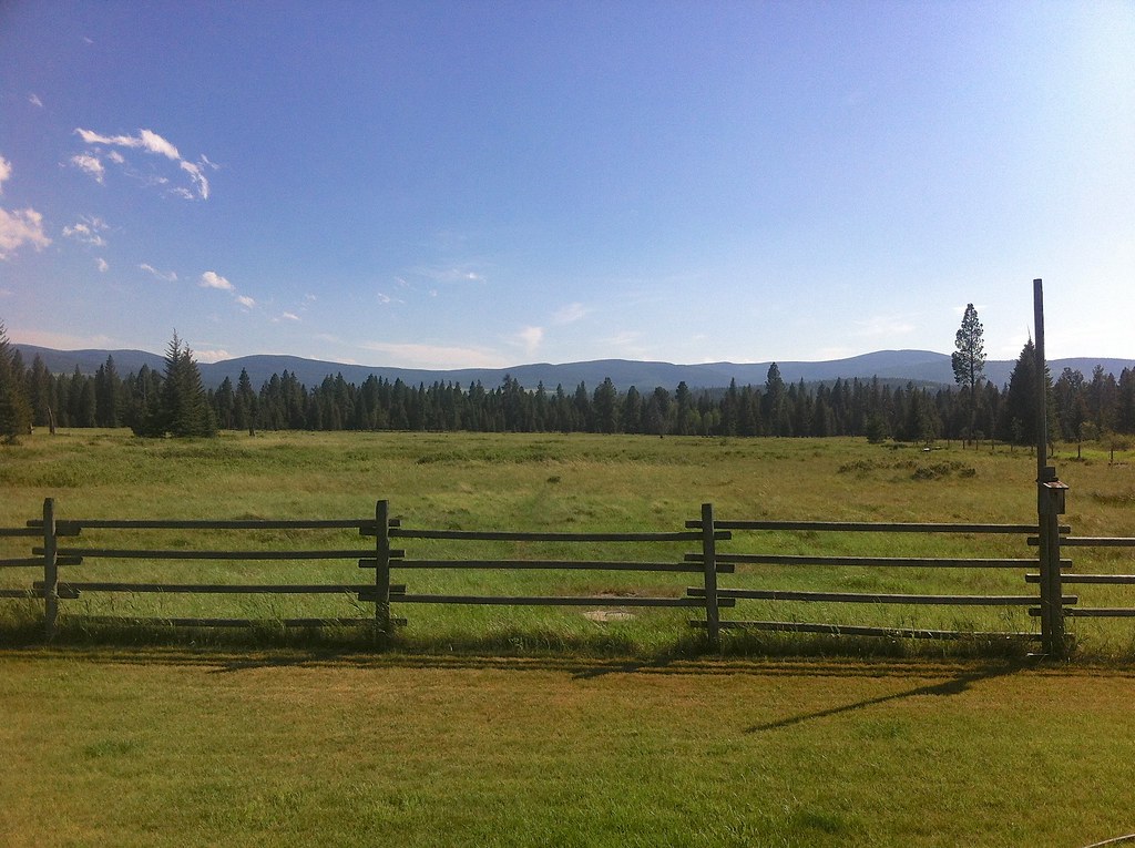
View from the back porch

Fire-killed Trees - 2

Fire-killed Trees - 4
Topographic Map of Arrastra Mountain, Montana, USA
Find elevation by address:

Places near Arrastra Mountain, Montana, USA:
Daly Peak
Echo Mountain
8288 Cooper Lake Rd
8266 Cooper Lake Rd
Bugle Mountain
8235 Cooper Lake Rd
White Tail Ranch
Red Mountain
380 Outfitter Ln
Stonewall Mountain
4575 Cooper-blackfoot Rd
Galusha Peak
Olson Peak
Falls Point
Lake Mountain
Lincoln
930 4th St N
873 D St
Powell County
Ovando Mountain
Recent Searches:
- Elevation of Corso Fratelli Cairoli, 35, Macerata MC, Italy
- Elevation of Tallevast Rd, Sarasota, FL, USA
- Elevation of 4th St E, Sonoma, CA, USA
- Elevation of Black Hollow Rd, Pennsdale, PA, USA
- Elevation of Oakland Ave, Williamsport, PA, USA
- Elevation of Pedrógão Grande, Portugal
- Elevation of Klee Dr, Martinsburg, WV, USA
- Elevation of Via Roma, Pieranica CR, Italy
- Elevation of Tavkvetili Mountain, Georgia
- Elevation of Hartfords Bluff Cir, Mt Pleasant, SC, USA