Elevation of Dunham Point, Montana, USA
Location: United States > Montana > Powell County >
Longitude: -113.22922
Latitude: 47.1718835
Elevation: 2003m / 6572feet
Barometric Pressure: 79KPa
Elevation Map:
Satellite Map:
Related Photos:
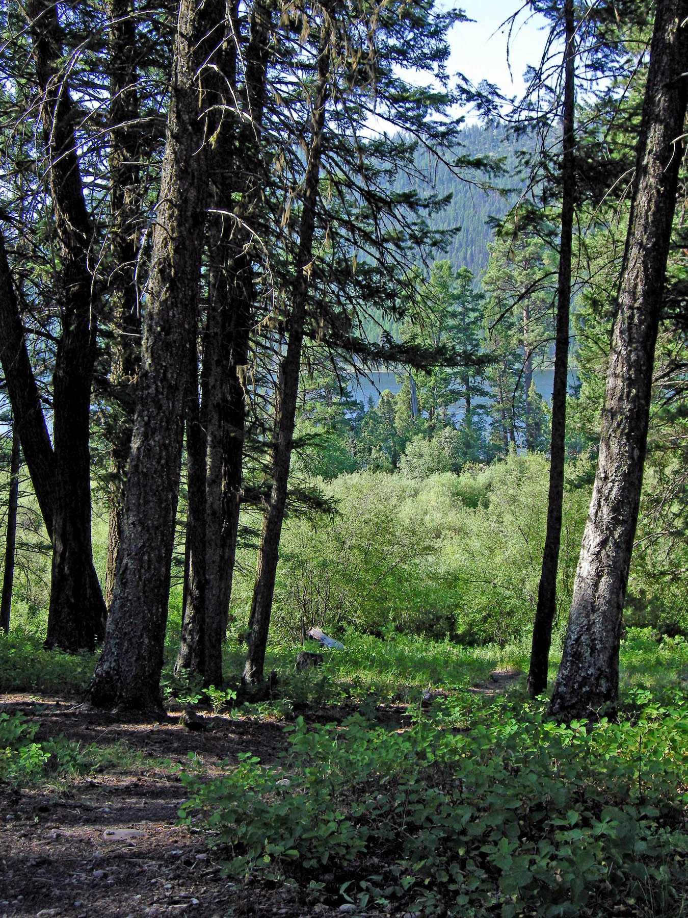
Salmon Lake Camp
Topographic Map of Dunham Point, Montana, USA
Find elevation by address:

Places near Dunham Point, Montana, USA:
Monture Mountain
Monture Creek Campground
Horseshoe Hills Trail, Bonner, MT, USA
Cottonwood Lakes Road
Monahan Mountain
Morrell Mountain
Omar Mountain
Devine Peak
Mccabe Mountain
Elkhorn Road
Ovando
Tour Mountain
Leota Peak
420 Summit Dr
Summit Drive
141 Elkhorn Rd
Stagecoach Court
15611 S Sperry Grade Rd
Ovando Mountain
672 N Canyon Dr
Recent Searches:
- Elevation of Corso Fratelli Cairoli, 35, Macerata MC, Italy
- Elevation of Tallevast Rd, Sarasota, FL, USA
- Elevation of 4th St E, Sonoma, CA, USA
- Elevation of Black Hollow Rd, Pennsdale, PA, USA
- Elevation of Oakland Ave, Williamsport, PA, USA
- Elevation of Pedrógão Grande, Portugal
- Elevation of Klee Dr, Martinsburg, WV, USA
- Elevation of Via Roma, Pieranica CR, Italy
- Elevation of Tavkvetili Mountain, Georgia
- Elevation of Hartfords Bluff Cir, Mt Pleasant, SC, USA