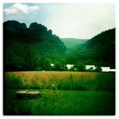
Elevation of Old Poplar Drive, Old Poplar Dr, Capon, WV, USA

Location: United States > West Virginia > Baker >

Longitude: -78.770923

Latitude: 39.1015499

Elevation: 598m / 1962feet

Barometric Pressure: 94KPa

Elevation Map:

elevation map of Old Poplar Drive, Old Poplar Dr, Capon, WV, USA
Satellite Map:

Satellite map of Old Poplar Drive, Old Poplar Dr, Capon, WV, USA

Related Photos:

baker unitedstates westvirginia
catching the view while we stop to fix a flat
canon river scenic westvirginia 5dmarkii
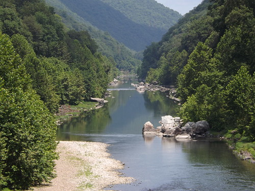
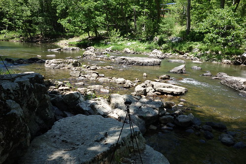
Lost River
The view around the pond at Winchester Medical Center
South Branch Potomac
The view around the pond at Winchester Medical Center
DSC01432 027 View
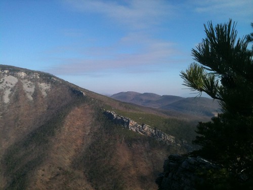
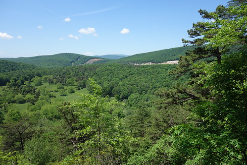
Mountain range view from Chimney Top
Golden Eagle immature GBBC
The view around the pond at Winchester Medical Center
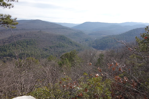
DSC00997 006 Max Spitzer Overlook view
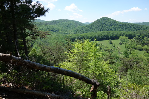
DSC00996 006 Max Spitzer Overlook view
DSC01434 027 View
DSC01435 027 View
DSC01431 027 View
The view around the pond at Winchester Medical Center
Mountain range view from Chimney Top
EXITING "THE TROUGH"
baker westvirginia unitedstates us
Sunset At 10 Feet
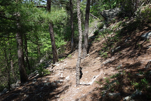
DSC00974 005 Utility Tr near Squirrel Gap Tr Old Rte 55
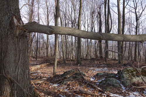
DSC01002 008 Blowdown
chesapeakebayprogram habitats nature westvirginia environment forests mountains woods unitedstates camera:model=canoneos5dmarkii camera:make=canon exif:isospeed=100 geostate exif:model=canoneos5dmarkii exif:aperture=ƒ56 exif:focallength=330mm geo:country=unitedstates geocity exif:lens=ef100400mmf4556lisusm exif:make=canon
Forested mountains in Hardy County, W.Va.
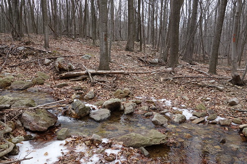
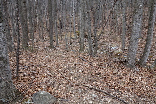
DSC01039 008 Stream xing
chesapeakebayprogram habitats nature westvirginia environment forests issuesforests mountains woods unitedstates exif:focallength=340mm camera:model=canoneos5dmarkii camera:make=canon exif:isospeed=100 geostate exif:model=canoneos5dmarkii exif:aperture=ƒ56 geo:country=unitedstates geocity exif:make=canon
Forested mountains in Hardy County, W.Va.
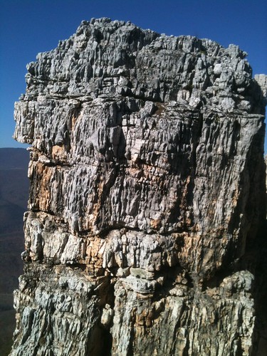
The Chimney itself
DSC01055 012 Stream xing
DSC01049 010 Stream xing
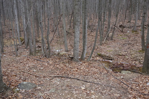
DSC00966 003 Jct Squirrel Gap Tr Lost River
chesapeakebayprogram habitats nature westvirginia environment forests mountains woods unitedstates camera:model=canoneos5dmarkii camera:make=canon exif:isospeed=100 geostate exif:model=canoneos5dmarkii exif:aperture=ƒ56 geo:country=unitedstates geocity exif:focallength=400mm exif:lens=ef100400mmf4556lisusm exif:make=canon
Forested mountains in Hardy County, W.Va.
DSC01041 008 Stream xing
DSC01437 028 Jct Squirrel Gap Tr and Lost River east bank
DSC01042 008 Stream xing
DSC01040 008 Stream xing
cabin wv week7 52weeks
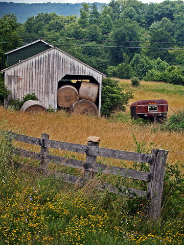
Hay Barn and Trailer
hiking bigschloss georgewashingtonnationalforest gwnf greatnorthmountain halfmoontrail tibbetknob halfmoonlookoutspurtrail troutrunvalleywv
trout run valley, wv
Camera Roll-263
Camera Roll-264