Elevation of Winterberry Drive, Winterberry Dr, Moorefield, WV, USA

Location: United States > West Virginia > Hardy County > Old Fields >

Longitude: -78.840133

Latitude: 39.1676098

Elevation: 560m / 1837feet

Barometric Pressure: 95KPa

Elevation Map:

elevation map of Winterberry Drive, Winterberry Dr, Moorefield, WV, USA

Satellite Map:

Satellite map of Winterberry Drive, Winterberry Dr, Moorefield, WV, USA

Related Photos:

canon river scenic westvirginia 5dmarkii
Lost River
South Branch Potomac
usa train woods wv bo baywindow brakeman c3898 chrisbrang
Going away view
bench
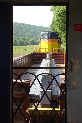
"Gondola Car" on Potomac Eagle
mountains westvirginia fallfoliage autumn nature moorefield unitedstates us
Appalachian Autumn
westvirginia corridorh us48
"Scenic" Overlook
Golden Eagle immature GBBC
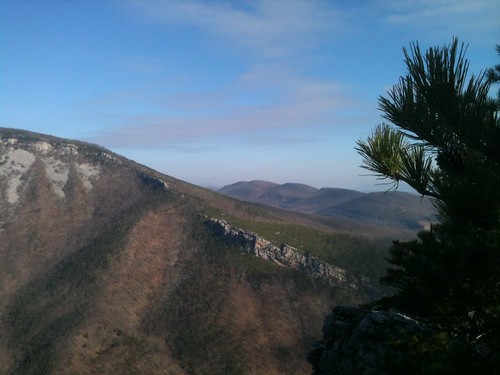
Mountain range view from Chimney Top
wv afternoon autumn country day daylight fall hills landscape mountain rural sun sunny route 48 corridorh
Red hill landscape
wv afternoon autumn country day daylight evening fall landscape pink rural sun sunny sunset windingroads moorefield westvirginia unitedstates us route 48 corridorh
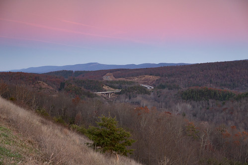
Sunset, Corridor H
usa unitedstates meadow westvirginia fisher corridorh us48
Corridor H
EXITING "THE TROUGH"
morning autumn mountains fall clouds nikon wv d700
Scenic Overlook
Field of Bloom
morning westvirginia hay haybales wv summer lgg3 county hardy
Hay Bales Sperrys Run
sunset mountains westvirginia hdr appalachain
Honeylocust Overlook, West Virginia
usa mountain train river wv bo f7 722 pesx
Feeling lonely
eaglesnestoutfitters south branch potomac
IMG_9805.poker.float.eagles.nest.jim
velodenz nikon cycletouring bicycletouring biketouring 1991 contax 139 coolscan lumbers ctc cycliststouringclub 5photosaday virginia westvirginia leagueofamericanwheelmen law holiday vacation vacances envacances usa unitedstatesofamerica northamerica appalachianmountains appalachia blueridge potomac river rhomney peterkin conference center analogue analog photograph photo image picture travel trip journey voyage viaje reisen cyclotourisme cicloturismo landscape countryside 35mm landschaft paysage paisaje paesaggio landschap grandvistas
12.06 - Potomac in the Fall. Opposite entrance to Peterkin Conference Center near Rhomney
chesapeakebay chesapeakebayprogram habitats nature science westvirginia conservation environment forests issuesforests mountains partnership restoration woods unitedstates exif:focallength=340mm camera:model=canoneos5dmarkii camera:make=canon exif:isospeed=100 geostate exif:model=canoneos5dmarkii exif:aperture=ƒ56 geo:country=unitedstates geocity exif:make=canon
Forested mountains in Hardy County, W.Va.
chesapeakebay chesapeakebayprogram habitats nature science westvirginia conservation environment forests mountains partnership restoration woods unitedstates camera:model=canoneos5dmarkii camera:make=canon exif:isospeed=100 geostate exif:model=canoneos5dmarkii exif:aperture=ƒ56 exif:focallength=330mm geo:country=unitedstates geocity exif:lens=ef100400mmf4556lisusm exif:make=canon
Forested mountains in Hardy County, W.Va.
chesapeakebay chesapeakebayprogram galleries habitats landscapesgallery nature science westvirginia conservation environment forests mountains partnership restoration woods unitedstates exif:focallength=260mm camera:model=canoneos5dmarkii camera:make=canon exif:isospeed=100 geostate exif:model=canoneos5dmarkii exif:aperture=ƒ56 geo:country=unitedstates geocity exif:lens=ef100400mmf4556lisusm exif:make=canon
Forested mountains in Hardy County, W.Va.
South Branch Potomac
chesapeakebay chesapeakebayprogram habitats nature science westvirginia conservation environment forests mountains partnership restoration woods unitedstates camera:model=canoneos5dmarkii camera:make=canon exif:isospeed=100 geostate exif:model=canoneos5dmarkii exif:aperture=ƒ56 geo:country=unitedstates geocity exif:focallength=400mm exif:lens=ef100400mmf4556lisusm exif:make=canon
Forested mountains in Hardy County, W.Va.
thetrough romneywv roncogswell potomaceaglescenicrailroad potomaceaglescenicrailroadromneywv thetroughsouthbranchofthepotomacriverwv thetroughwv
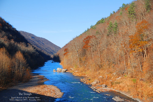
The Trough -- South Branch of the Potomac River South of Romney (WV) November 12, 2011