Elevation of Old Cheraw Hwy, Rockingham, NC, USA
Location: United States > North Carolina > Richmond County > Wolf Pit >
Longitude: -79.856831
Latitude: 34.848798
Elevation: 111m / 364feet
Barometric Pressure: 100KPa
Elevation Map:
Satellite Map:
Related Photos:

Vending Machine Repair, Richmond Technical College, 1982

IMG_3040.CR2
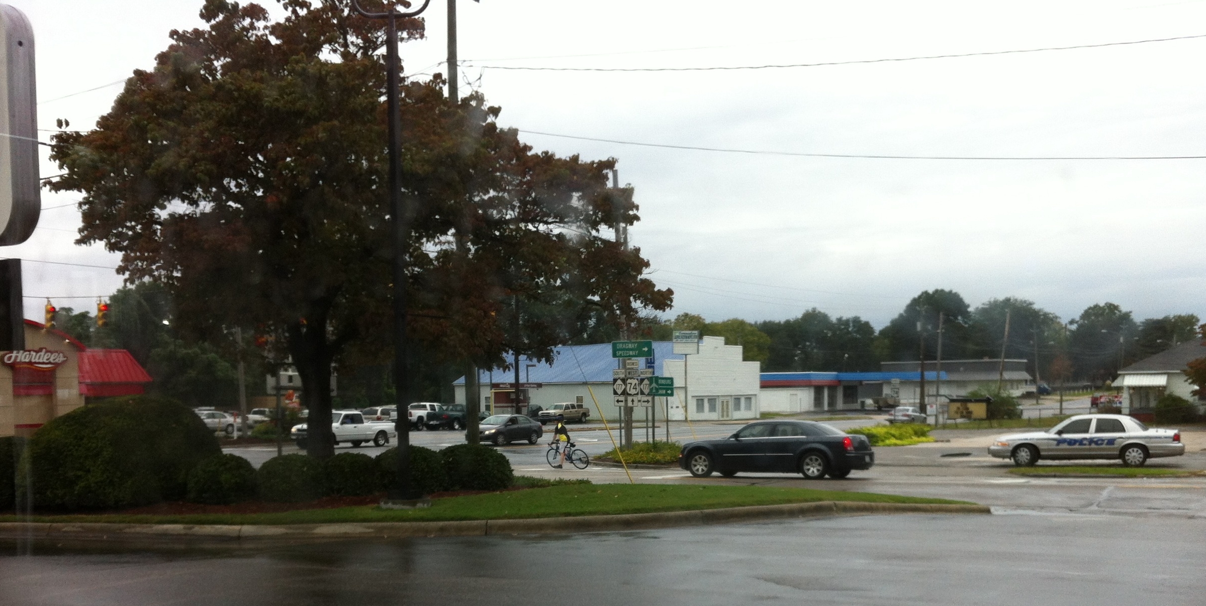
Rainy day view from Burger King

CRW_9601_edited-1

rham-20090503-021
rham-20090503-004

Foggy morning over Richmond County, looking towards Hamlet. #fog #sunrise #cloudscape

shhhh...He's fishing...
DSC_0040-1

Beautiful sunset this evening.
Hay Bales

Moon/Landscape Images
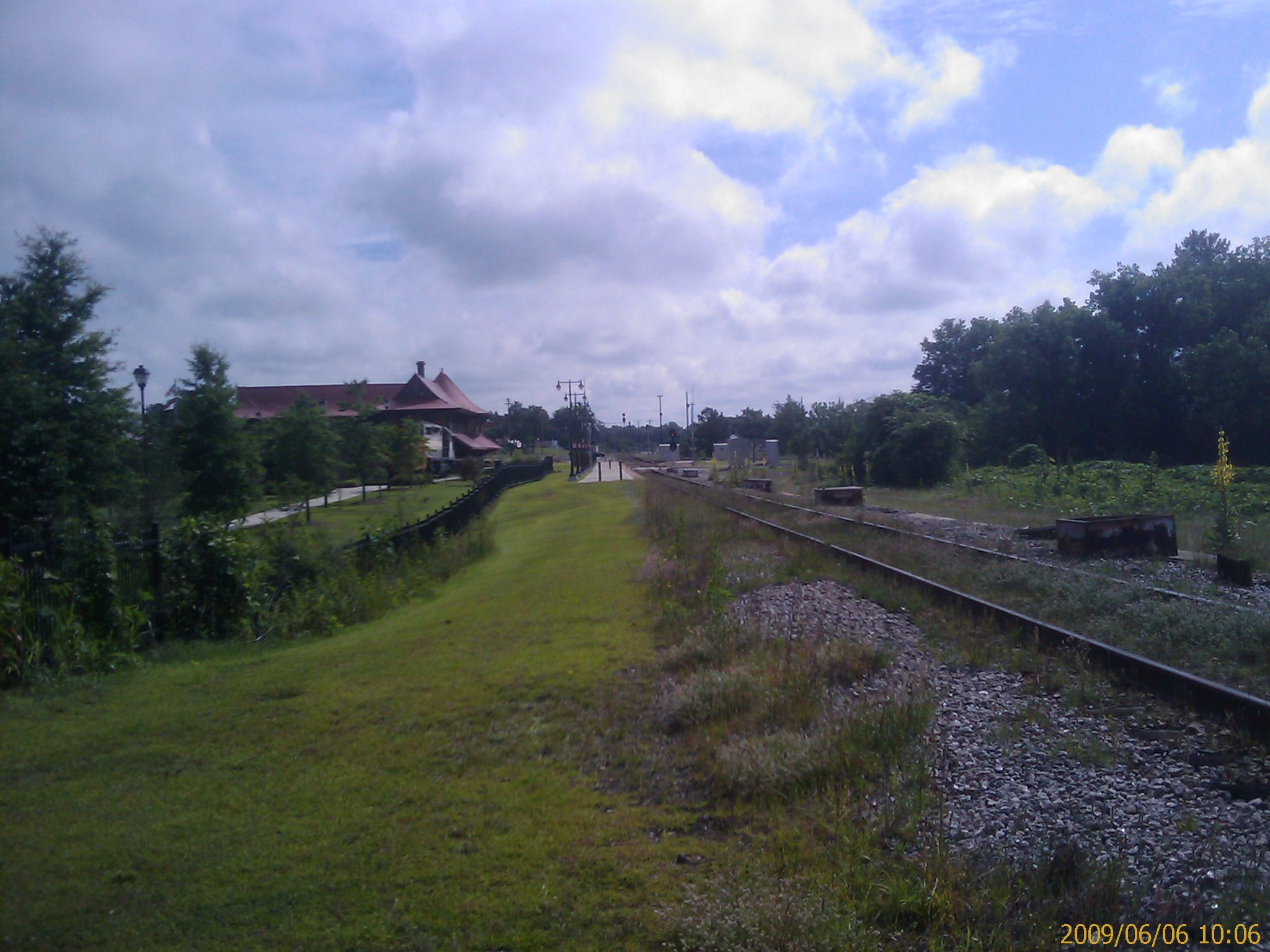
Hamlet, NC from south of the station
Moon/Landscape Images
Topographic Map of Old Cheraw Hwy, Rockingham, NC, USA
Find elevation by address:

Places near Old Cheraw Hwy, Rockingham, NC, USA:
184 Osborne Rd
2090 Us-1
Wolf Pit
Ledbetter St, Rockingham, NC, USA
Shiloh Church Rd, Morven, NC, USA
Sneedsboro Rd, Morven, NC, USA
North Carolina 145
Morven
Morven
Lilesville
1028 Old Lilesville Rd
Mayesville Rd, Morven, NC, USA
200 Nc-742
Wadesboro
W Caswell St, Wadesboro, NC, USA
212 White Store Rd
212 White Store Rd
212 White Store Rd
Gulledge
252 Chewning Rd
Recent Searches:
- Elevation of Corso Fratelli Cairoli, 35, Macerata MC, Italy
- Elevation of Tallevast Rd, Sarasota, FL, USA
- Elevation of 4th St E, Sonoma, CA, USA
- Elevation of Black Hollow Rd, Pennsdale, PA, USA
- Elevation of Oakland Ave, Williamsport, PA, USA
- Elevation of Pedrógão Grande, Portugal
- Elevation of Klee Dr, Martinsburg, WV, USA
- Elevation of Via Roma, Pieranica CR, Italy
- Elevation of Tavkvetili Mountain, Georgia
- Elevation of Hartfords Bluff Cir, Mt Pleasant, SC, USA