Elevation of Ledbetter St, Rockingham, NC, USA
Location: United States > North Carolina > Richmond County > Rockingham > Rockingham >
Longitude: -79.822204
Latitude: 34.912799
Elevation: 87m / 285feet
Barometric Pressure: 100KPa
Elevation Map:
Satellite Map:
Related Photos:
rham-20090503-004

Vending Machine Repair, Richmond Technical College, 1982

North Carolina: Hamlet: Seaboard (now Amtrak)

IMG_3040.CR2
Rainy day view from Burger King

CRW_9601_edited-1

rham-20090503-021

Embers @ Plaza Jam - Rockingham N.C.

shhhh...He's fishing...

DSC_0040-1

Beautiful sunset this evening.

Moon/Landscape Images
Hamlet, NC from south of the station
Moon/Landscape Images
Way over there !

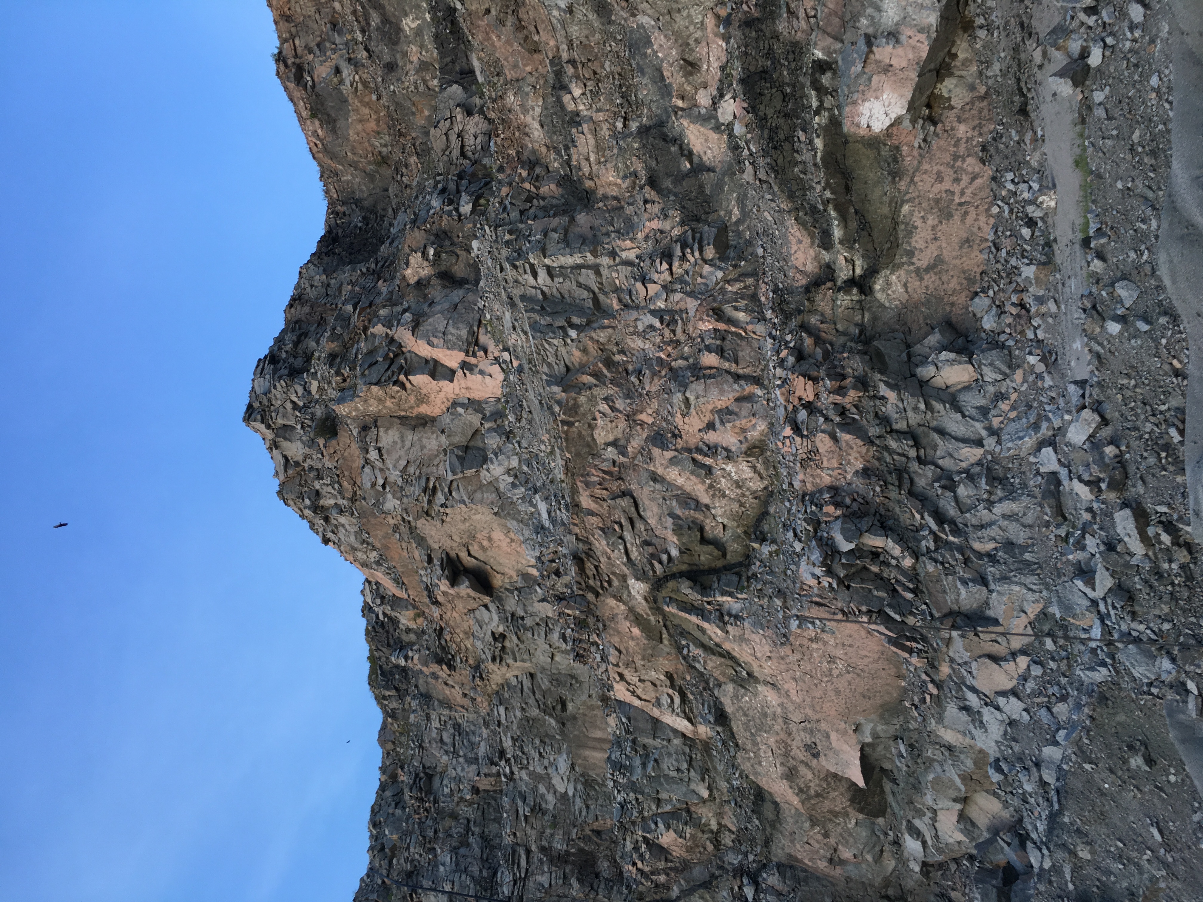
From the Valley
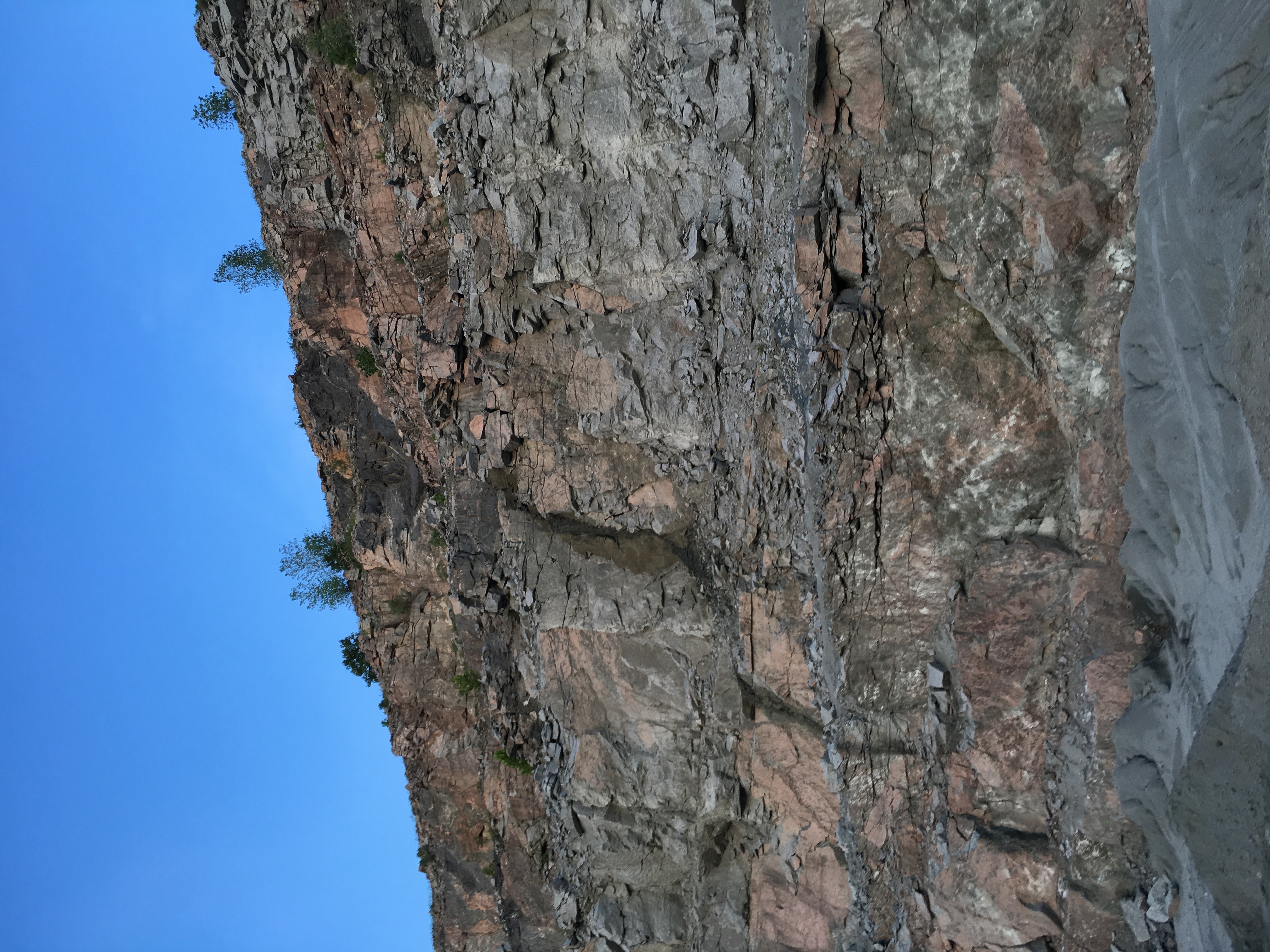
Jaggered Rocks
Exploding effects
The Valley
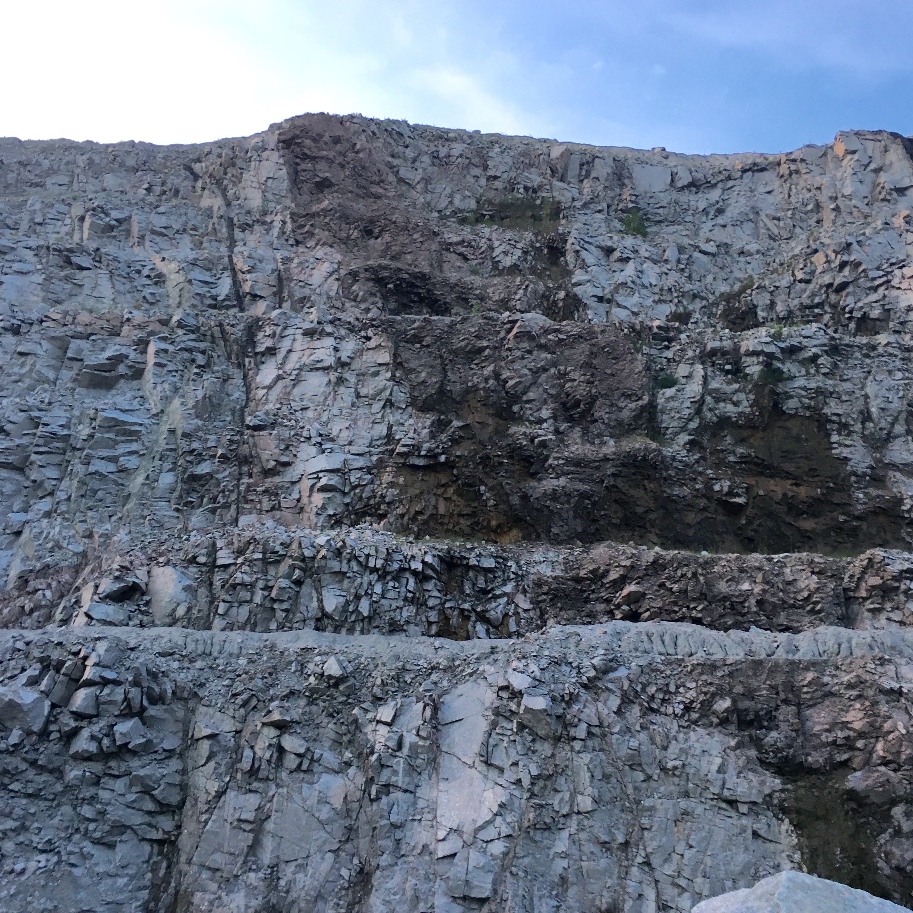
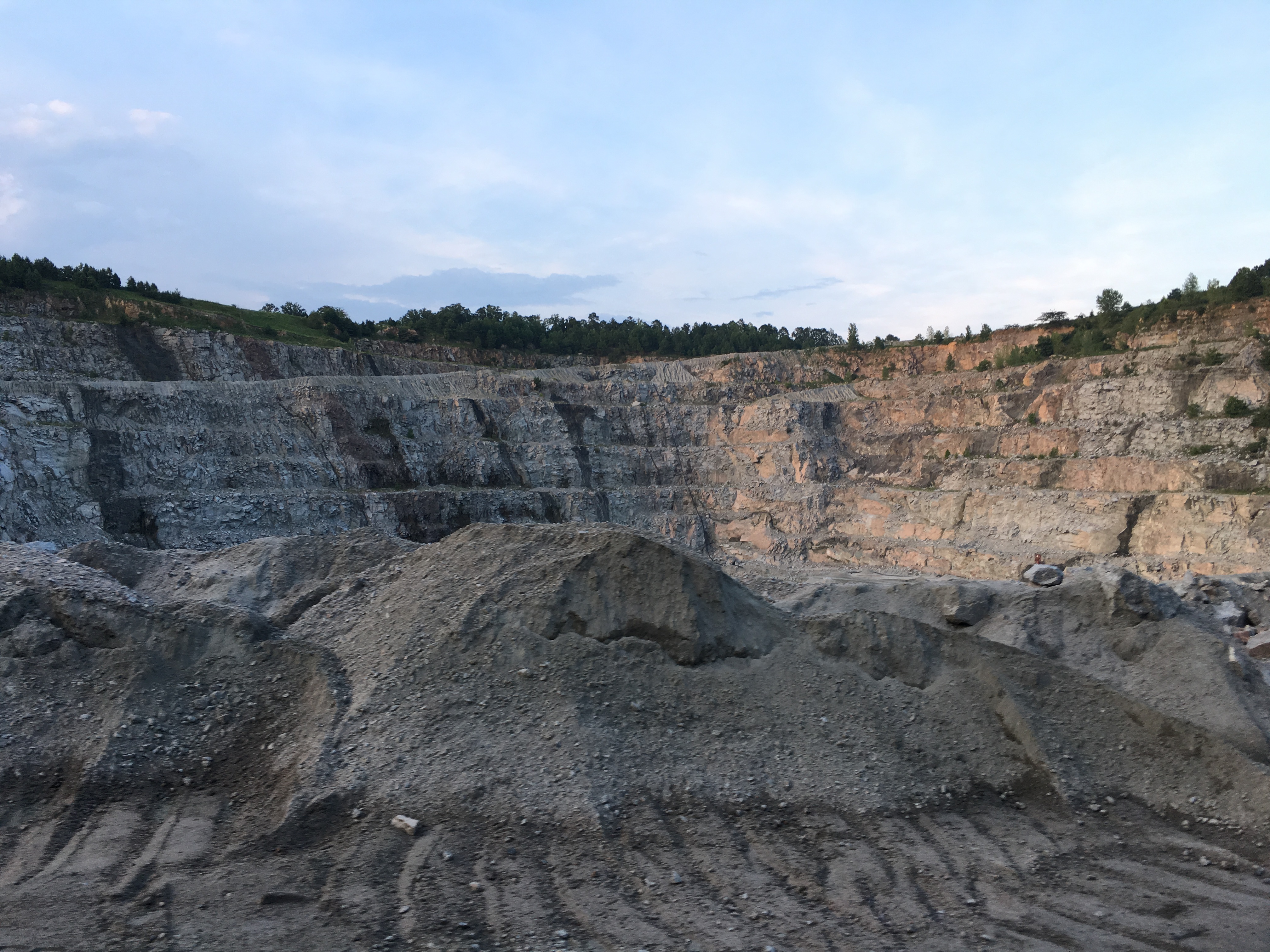
Vulcan Rock Wall

Foggy morning over Richmond County, looking towards Hamlet. #fog #sunrise #cloudscape
Topographic Map of Ledbetter St, Rockingham, NC, USA
Find elevation by address:

Places near Ledbetter St, Rockingham, NC, USA:
184 Osborne Rd
Wolf Pit
Old Cheraw Hwy, Rockingham, NC, USA
2090 Us-1
Shiloh Church Rd, Morven, NC, USA
North Carolina 145
Sneedsboro Rd, Morven, NC, USA
Morven
Lilesville
Morven
1028 Old Lilesville Rd
200 Nc-742
Wadesboro
W Caswell St, Wadesboro, NC, USA
212 White Store Rd
212 White Store Rd
212 White Store Rd
Mayesville Rd, Morven, NC, USA
Gulledge
252 Chewning Rd
Recent Searches:
- Elevation of Corso Fratelli Cairoli, 35, Macerata MC, Italy
- Elevation of Tallevast Rd, Sarasota, FL, USA
- Elevation of 4th St E, Sonoma, CA, USA
- Elevation of Black Hollow Rd, Pennsdale, PA, USA
- Elevation of Oakland Ave, Williamsport, PA, USA
- Elevation of Pedrógão Grande, Portugal
- Elevation of Klee Dr, Martinsburg, WV, USA
- Elevation of Via Roma, Pieranica CR, Italy
- Elevation of Tavkvetili Mountain, Georgia
- Elevation of Hartfords Bluff Cir, Mt Pleasant, SC, USA