Elevation of Shiloh Church Rd, Morven, NC, USA
Location: United States > North Carolina > Anson County > Morven > Morven >
Longitude: -79.933983
Latitude: 34.885142
Elevation: 122m / 400feet
Barometric Pressure: 100KPa
Elevation Map:
Satellite Map:
Related Photos:

rham-20090503-021
rham-20090503-004

Splendid view in the woods this mornin,lucky to have my lil spread here.

The view tonight.

Side View Of Anson County Courthouse

Diack Family Gravesite, Eastview Cemetery, Wadesboro, NC

anson-20080728-114930

Side View Of Anson County Courthouse

anson-20080728-114842

anson-20080728-114856

DSC_0040-1
Way over there !

From the Valley
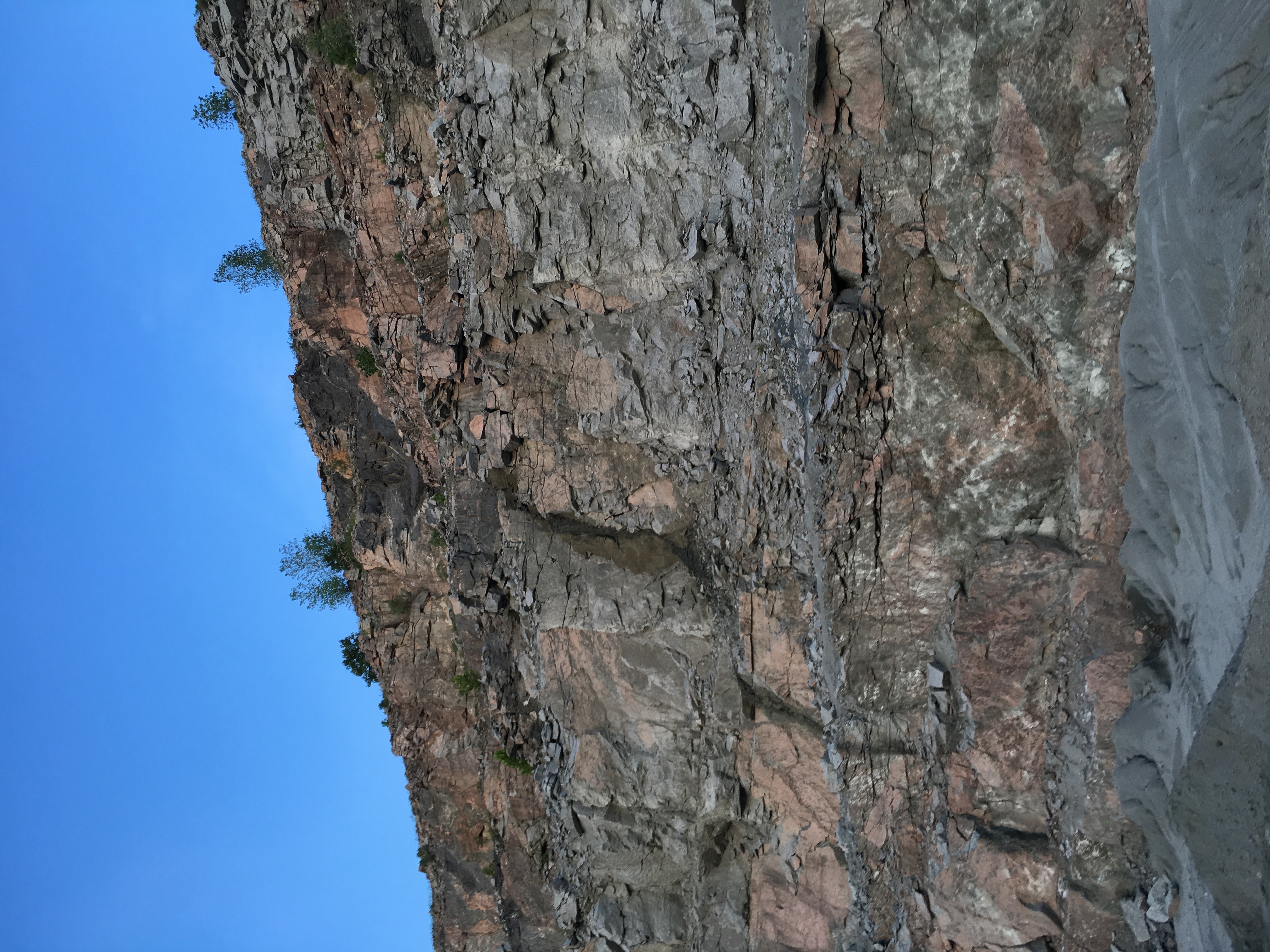
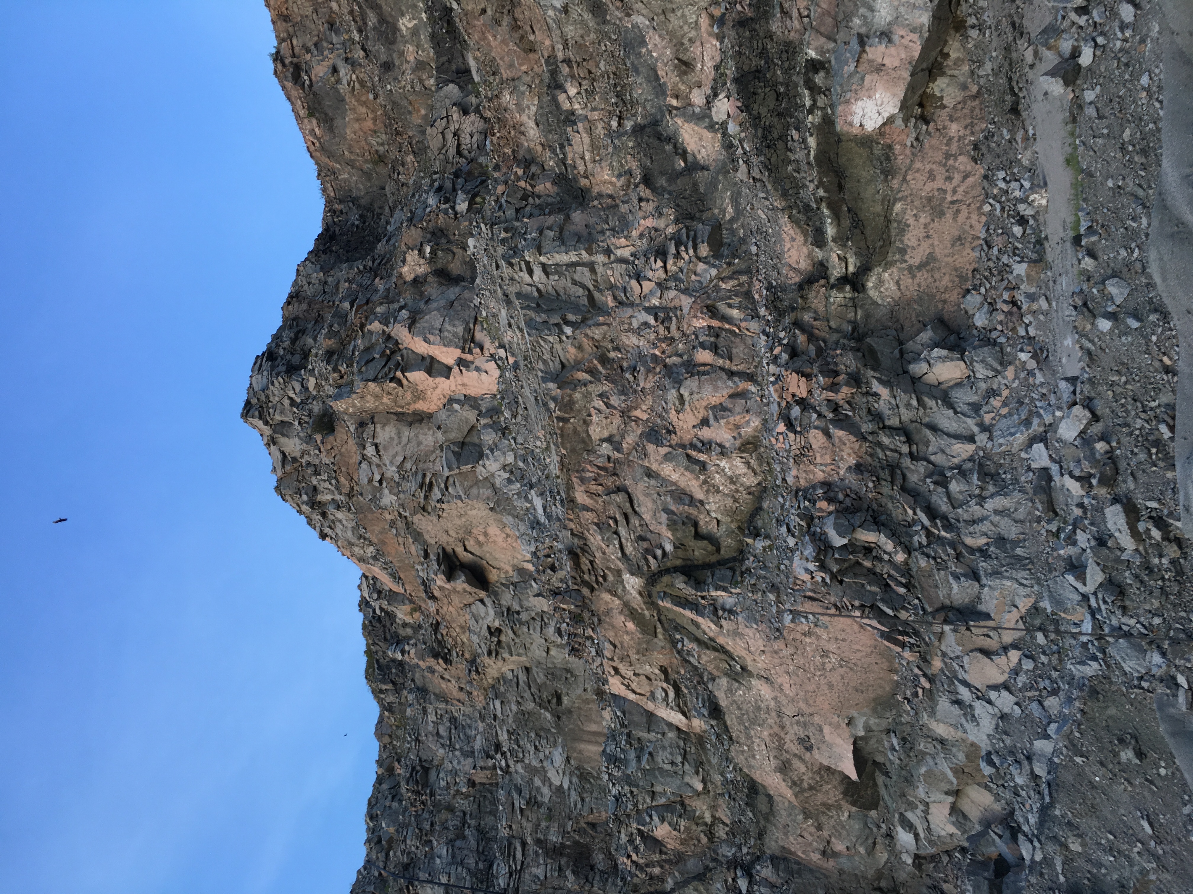
Jaggered Rocks
Exploding effects
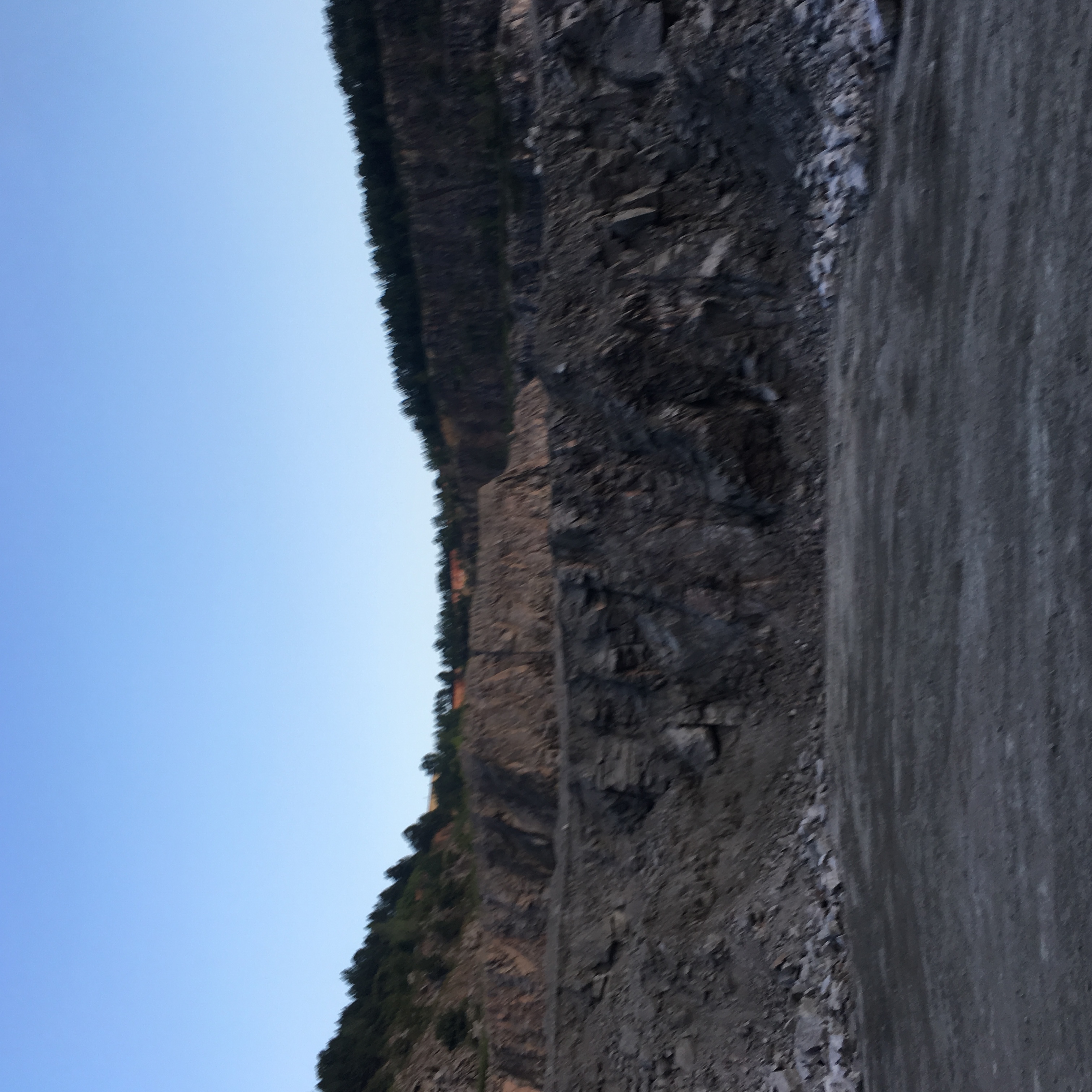
The Valley
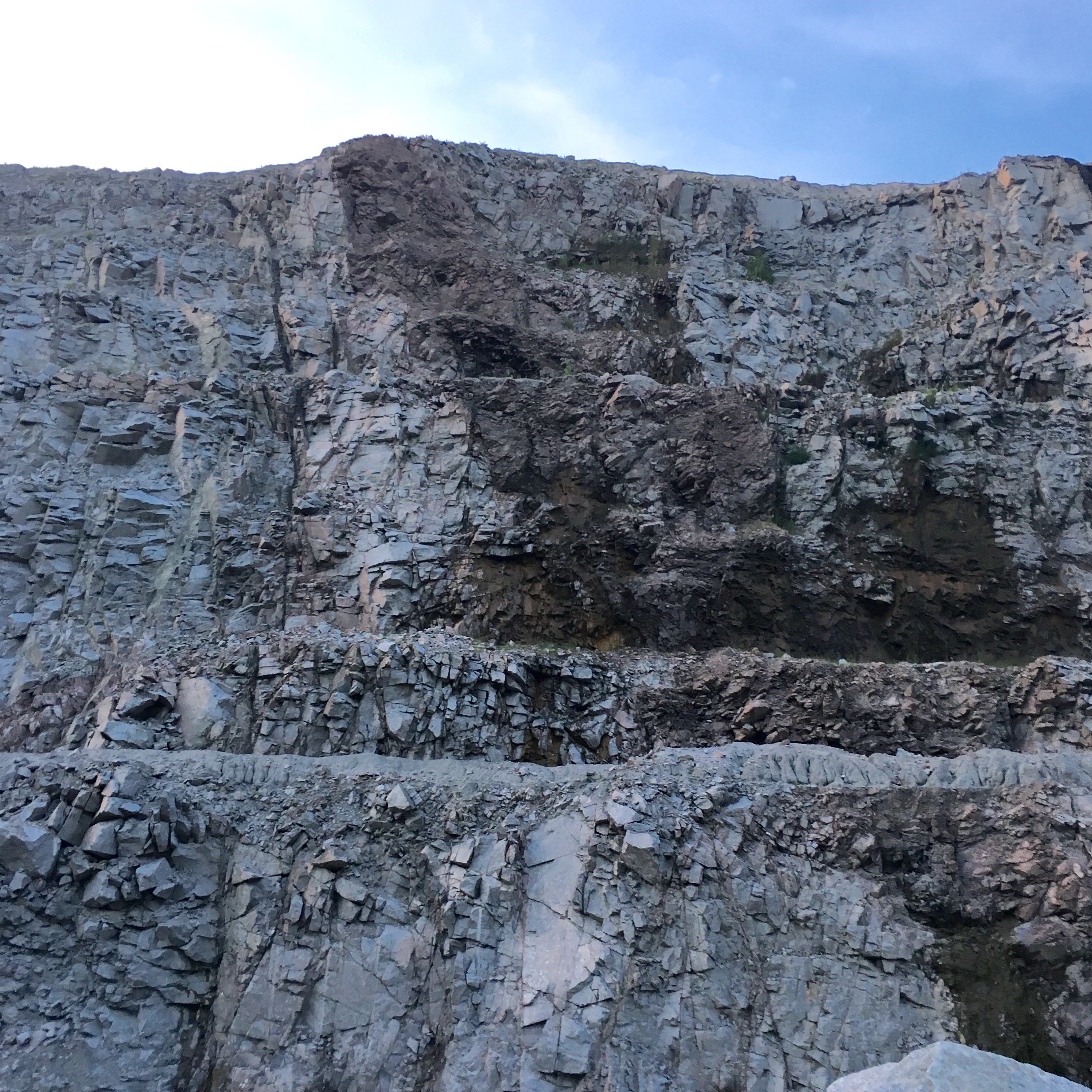
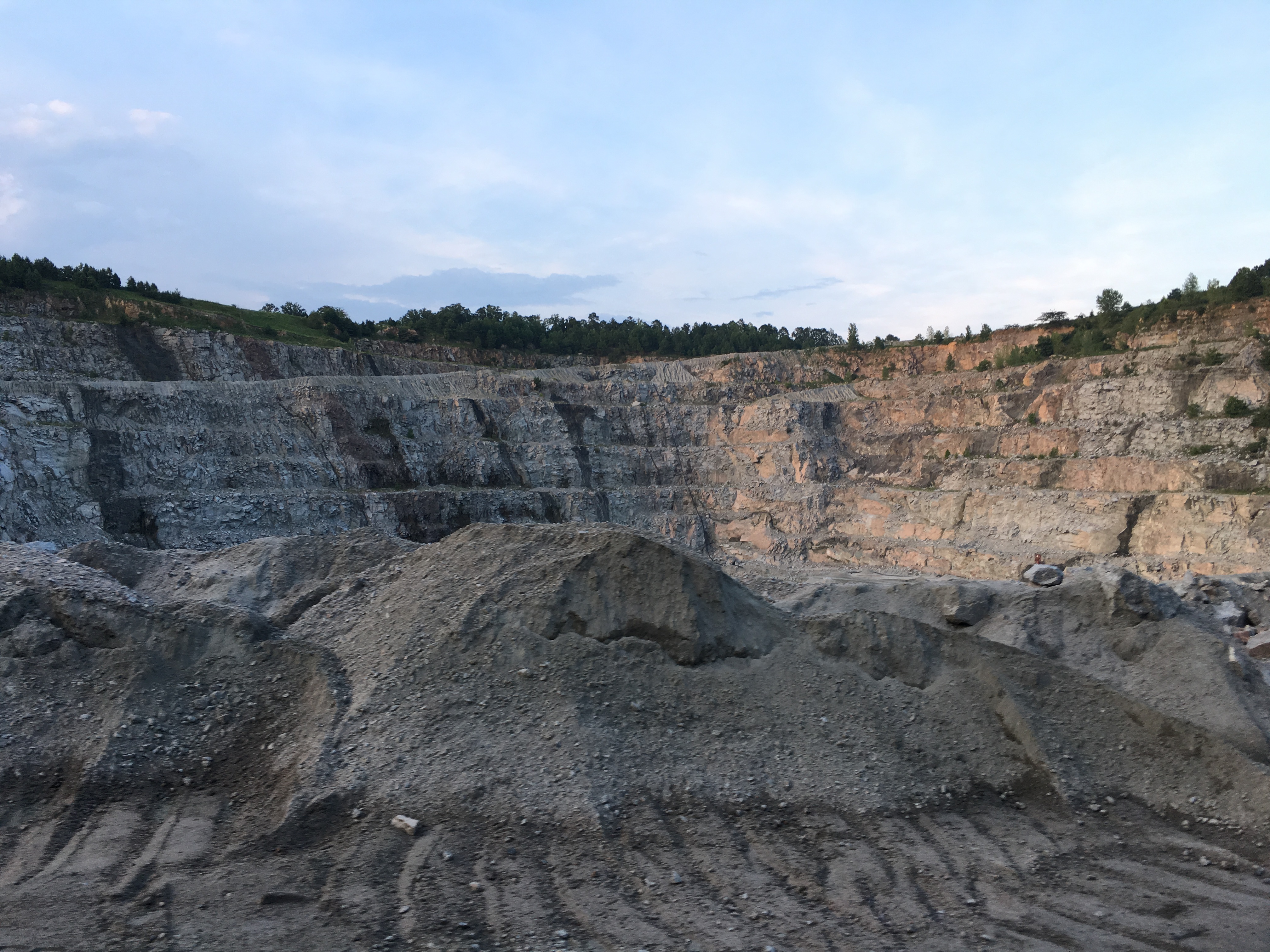
Vulcan Rock Wall

shhhh...He's fishing...

Beautiful sunset this evening.

Hay Bales

Chain link backyard fence/dog lot is goin up. Out my house annoying dogs! Stoked! Liz's family for the win!
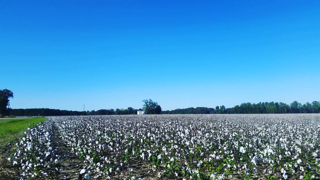
Almost harvest time. #cotton

Nature kid.

The 90's
Topographic Map of Shiloh Church Rd, Morven, NC, USA
Find elevation by address:

Places near Shiloh Church Rd, Morven, NC, USA:
North Carolina 145
Morven
Sneedsboro Rd, Morven, NC, USA
Morven
2090 Us-1
Old Cheraw Hwy, Rockingham, NC, USA
Lilesville
184 Osborne Rd
Ledbetter St, Rockingham, NC, USA
Wolf Pit
1028 Old Lilesville Rd
200 Nc-742
Wadesboro
W Caswell St, Wadesboro, NC, USA
212 White Store Rd
212 White Store Rd
212 White Store Rd
Mayesville Rd, Morven, NC, USA
Gulledge
252 Chewning Rd
Recent Searches:
- Elevation of Corso Fratelli Cairoli, 35, Macerata MC, Italy
- Elevation of Tallevast Rd, Sarasota, FL, USA
- Elevation of 4th St E, Sonoma, CA, USA
- Elevation of Black Hollow Rd, Pennsdale, PA, USA
- Elevation of Oakland Ave, Williamsport, PA, USA
- Elevation of Pedrógão Grande, Portugal
- Elevation of Klee Dr, Martinsburg, WV, USA
- Elevation of Via Roma, Pieranica CR, Italy
- Elevation of Tavkvetili Mountain, Georgia
- Elevation of Hartfords Bluff Cir, Mt Pleasant, SC, USA