Elevation of North Carolina, NC-, Lilesville, NC, USA
Location: United States > North Carolina > Anson County > Morven >
Longitude: -79.942108
Latitude: 34.8932327
Elevation: 97m / 318feet
Barometric Pressure: 100KPa
Elevation Map:
Satellite Map:
Related Photos:

Diack Family Gravesite, Eastview Cemetery, Wadesboro, NC

rham-20090503-021

anson-20080728-114930

Side View Of Anson County Courthouse

Side View Of Anson County Courthouse

rham-20090503-004

anson-20080728-114856

anson-20080728-114842

Splendid view in the woods this mornin,lucky to have my lil spread here.

The view tonight.

DSC_0040-1

Dova LIVE Burn 12/2/17

HitchcockCreek_SL (512)

From the Valley
Way over there !

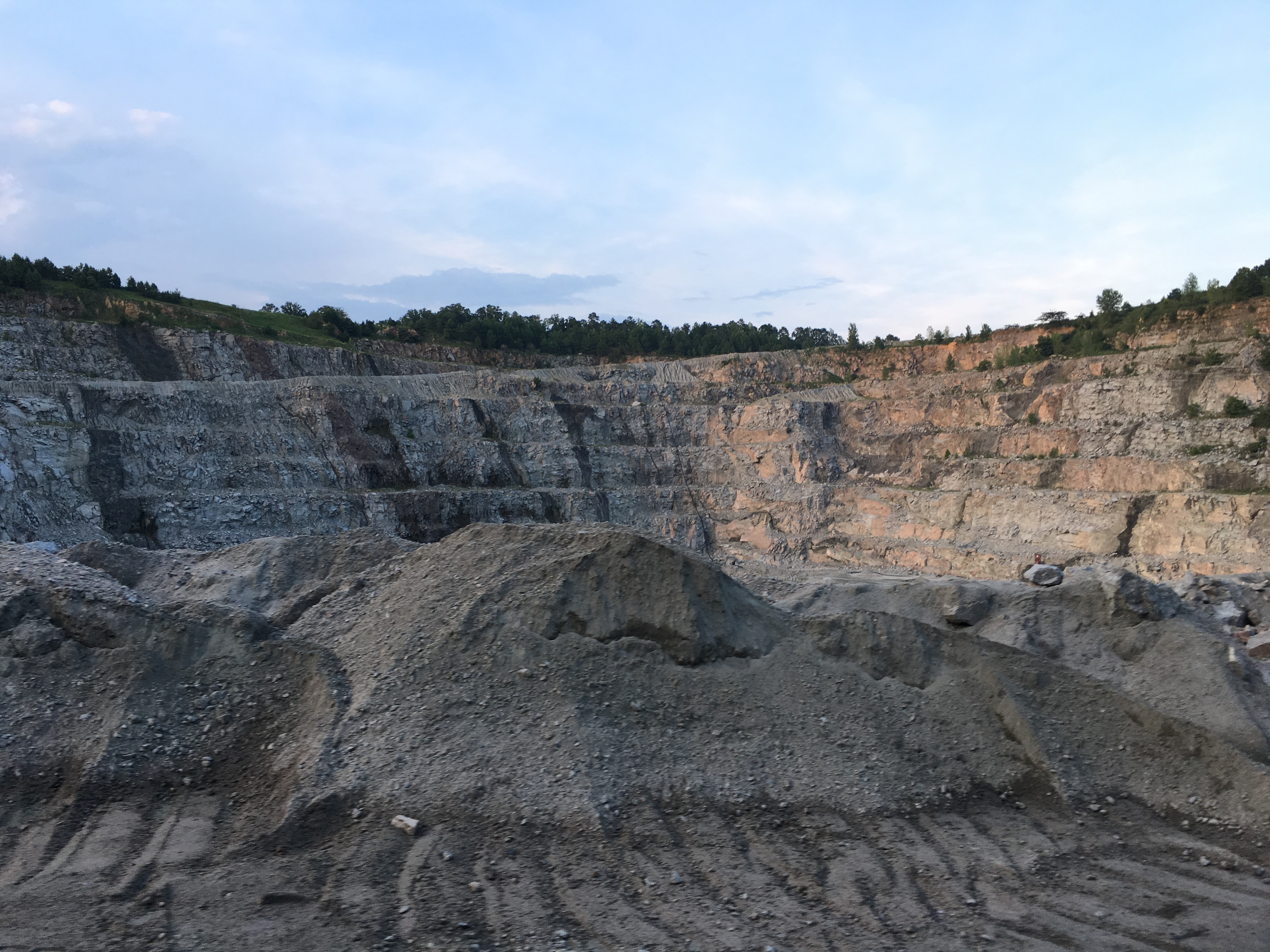
Vulcan Rock Wall

Hay Bales

Exploding effects

Almost harvest time. #cotton

Jaggered Rocks

The Valley

Nature kid.

shhhh...He's fishing...

The 90's
Topographic Map of North Carolina, NC-, Lilesville, NC, USA
Find elevation by address:

Places near North Carolina, NC-, Lilesville, NC, USA:
Shiloh Church Rd, Morven, NC, USA
Morven
Morven
Sneedsboro Rd, Morven, NC, USA
Lilesville
2090 Us-1
Old Cheraw Hwy, Rockingham, NC, USA
184 Osborne Rd
Ledbetter St, Rockingham, NC, USA
1028 Old Lilesville Rd
Wolf Pit
200 Nc-742
Wadesboro
W Caswell St, Wadesboro, NC, USA
212 White Store Rd
212 White Store Rd
212 White Store Rd
Mayesville Rd, Morven, NC, USA
Gulledge
252 Chewning Rd
Recent Searches:
- Elevation of Corso Fratelli Cairoli, 35, Macerata MC, Italy
- Elevation of Tallevast Rd, Sarasota, FL, USA
- Elevation of 4th St E, Sonoma, CA, USA
- Elevation of Black Hollow Rd, Pennsdale, PA, USA
- Elevation of Oakland Ave, Williamsport, PA, USA
- Elevation of Pedrógão Grande, Portugal
- Elevation of Klee Dr, Martinsburg, WV, USA
- Elevation of Via Roma, Pieranica CR, Italy
- Elevation of Tavkvetili Mountain, Georgia
- Elevation of Hartfords Bluff Cir, Mt Pleasant, SC, USA