Elevation of Nomal Valley
| Latitude | 36.0737501 |
|---|---|
| Longitude | 74.2934699 |
| Elevation | 1566m / 5138feet |
| Barometric Pressure | 839KPa |
Related Photos:

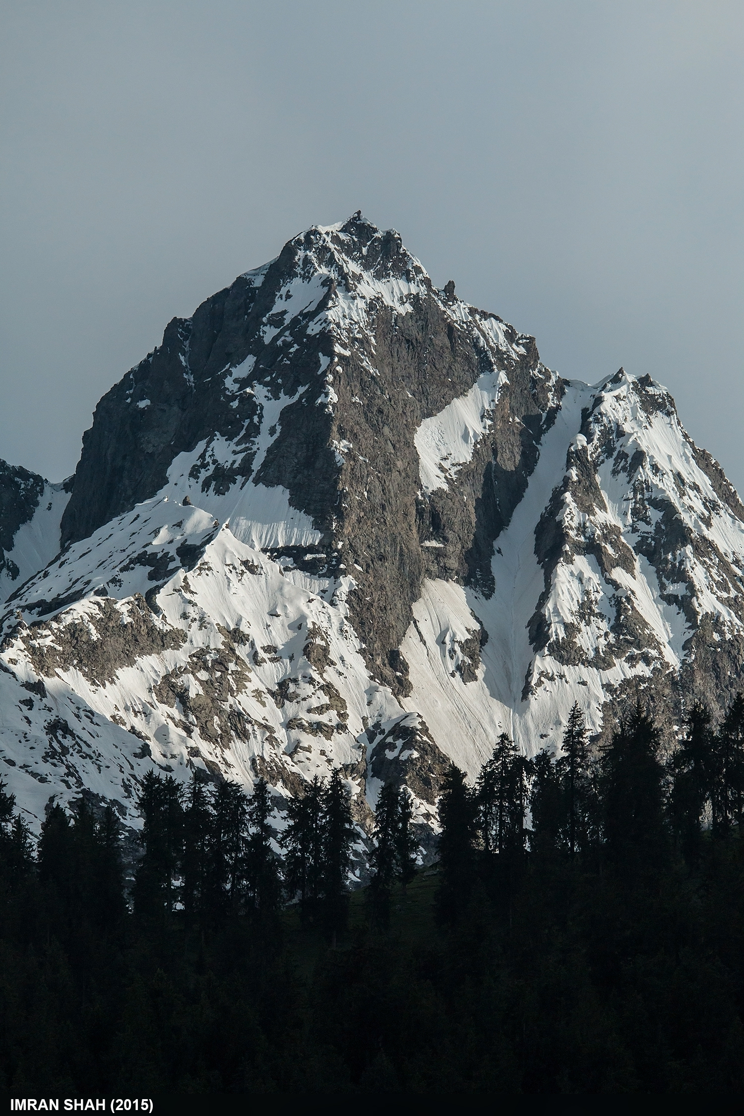
Rakaposhi

Rakaposhi and Shispare

Autumn Colors

Jutal, Gilgit, Gilgit-Baltistan, Pakistan
Unnamed Peaks

Random Mountains

Rakaposhi and Batura Muztagh

Siberian Stonechat (Saxicola maurus)

Naltar, Gilgit

KKH near Jutal

Naltar Valley

Upper Naltar

Naltar Valley

On the way to Natlar

Naltar Valley

On the way to Natlar

Bargu, Gilgit-Baltistan

New KKH near Nomal, Gilgit

nomal gilgit pakistan

nomal gilgit pakistan

nomal gilgit pakistan
Topographic Map of Nomal Valley
Find elevation by address:
Places near Nomal Valley:
Jaglot
Naltar Valley
Gilgit-baltistan Monument
Gilgit
Gilgit Airport
Chari Khand
Chalt
Nilt
Rakaposhi
Minawar
Sherqilla
Bagrote Road
Naltar Lake 4
Naltar Lake
Toltar
Batura Sar
Gahkuch
Chatorkhand
Thowar
Ishkoman
Recent Searches:
- Elevation of 104, Chancery Road, Middletown Township, Bucks County, Pennsylvania, 19047, USA
- Elevation of 1212, Cypress Lane, Dayton, Liberty County, Texas, 77535, USA
- Elevation map of Central Hungary, Hungary
- Elevation map of Pest, Central Hungary, Hungary
- Elevation of Pilisszentkereszt, Pest, Central Hungary, Hungary
- Elevation of Dharamkot Tahsil, Punjab, India
- Elevation of Bhinder Khurd, Dharamkot Tahsil, Punjab, India
- Elevation of 2881, Chabot Drive, San Bruno, San Mateo County, California, 94066, USA
- Elevation of 10370, West 107th Circle, Westminster, Jefferson County, Colorado, 80021, USA
- Elevation of 611, Roman Road, Old Ford, Bow, London, England, E3 2RW, United Kingdom
- Elevation of 116, Beartown Road, Underhill, Chittenden County, Vermont, 05489, USA
- Elevation of Window Rock, Colfax County, New Mexico, 87714, USA
- Elevation of 4807, Rosecroft Street, Kempsville Gardens, Virginia Beach, Virginia, 23464, USA
- Elevation map of Matawinie, Quebec, Canada
- Elevation of Sainte-Émélie-de-l'Énergie, Matawinie, Quebec, Canada
- Elevation of Rue du Pont, Sainte-Émélie-de-l'Énergie, Matawinie, Quebec, J0K2K0, Canada
- Elevation of 8, Rue de Bécancour, Blainville, Thérèse-De Blainville, Quebec, J7B1N2, Canada
- Elevation of Wilmot Court North, 163, University Avenue West, Northdale, Waterloo, Region of Waterloo, Ontario, N2L6B6, Canada
- Elevation map of Panamá Province, Panama
- Elevation of Balboa, Panamá Province, Panama