Elevation of Chari Khand
Longitude: 74.1962528
Latitude: 36.2167869
Elevation: 5280m / 17323feet
Barometric Pressure: 52KPa
Elevation Map:
Satellite Map:
Related Photos:
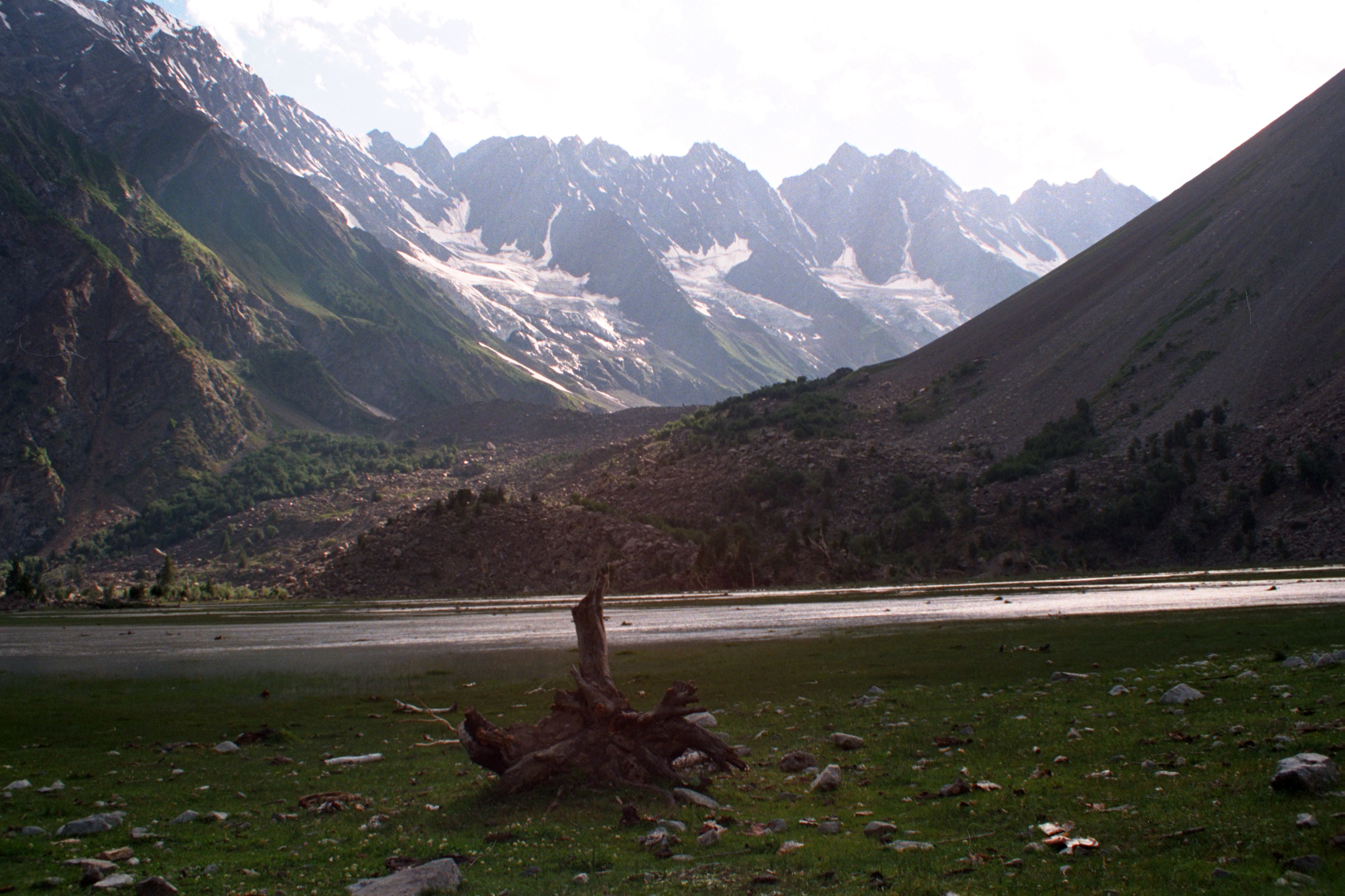
View From Our Camp at Gupa, Naltar Valley, Pakistan
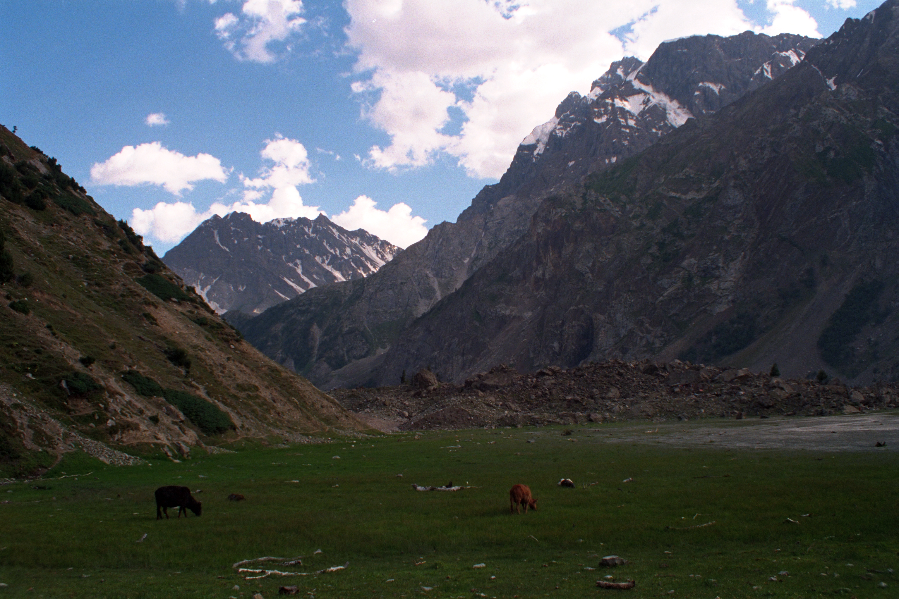
View From Our Camp at Gupa, Naltar Valley, Pakistan
Topographic Map of Chari Khand
Find elevation by address:

Places near Chari Khand:
Naltar Valley
Naltar Lake 4
Naltar Lake
Jaglot
Chalt
Nomal Valley
Sherqilla
Nilt
Toltar
Rakaposhi
Gilgit
Gilgit-baltistan Monument
Gilgit Airport
Chatorkhand
Minawar
Bagrote Road
Batura Sar
Gahkuch
Ishkoman
Makuli Yasin Valley
Recent Searches:
- Elevation of Corso Fratelli Cairoli, 35, Macerata MC, Italy
- Elevation of Tallevast Rd, Sarasota, FL, USA
- Elevation of 4th St E, Sonoma, CA, USA
- Elevation of Black Hollow Rd, Pennsdale, PA, USA
- Elevation of Oakland Ave, Williamsport, PA, USA
- Elevation of Pedrógão Grande, Portugal
- Elevation of Klee Dr, Martinsburg, WV, USA
- Elevation of Via Roma, Pieranica CR, Italy
- Elevation of Tavkvetili Mountain, Georgia
- Elevation of Hartfords Bluff Cir, Mt Pleasant, SC, USA