Elevation of Chalt, Hunza Nagar

Location: Hunza Nagar >

Longitude: 74.3206208

Latitude: 36.2474342

Elevation: 1838m / 6030feet

Barometric Pressure: 81KPa

Elevation Map:

elevation map of Chalt, Hunza Nagar

Satellite Map:

Satellite map of Chalt, Hunza Nagar

Related Photos:

square squareformat iphoneography instagramapp uploaded:by=instagram foursquare:venue=4e045230e4cd92cb899d01a2
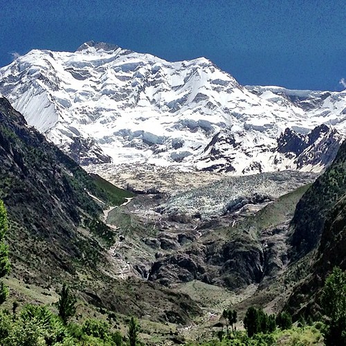
Rakaposhi Peak | Rakaposhi Base Camp View | Hunza Nagar | Hunza Valley | Gilgit-Baltistan, Northern Pakistan
pakistan geotagged 20070718 minapin
Rakaposhi, viewed from Pisin
pakistan geotagged 20070718 minapin
The view point of Rakaposhi in Pisin
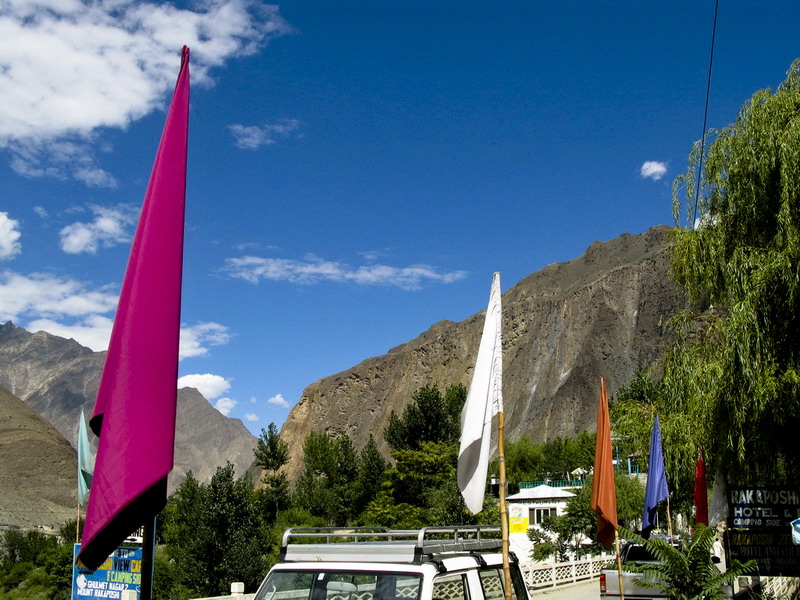
gilgit pakistan silkroad sikandarabad gilgitbaltistan
Views, Gilgit
gilgit pakistan silkroad sikandarabad gilgitbaltistan
Views, Gilgit
gilgit pakistan silkroad sikandarabad gilgitbaltistan
Views, Gilgit
gilgit pakistan silkroad sikandarabad gilgitbaltistan
Views, Hunza
gilgit pakistan silkroad sikandarabad gilgitbaltistan
Views, Hunza
pakistan gilgitbaltistan gilgit baltistan pk hunza himalayas karakoram mountains peak landscape adventure travel blue snow winter karakorams himalaya nagar
The Mighty Rakaposhi
greaterkashmir northernareas chalat gilgitbaltistan pakistan pak パキスタン 巴基斯坦 пакистан پاکستان
Hunza River
birds category siberianstonechatsaxicolamaurus gilgit gilgitbaltistan location naltar pakistan species avifauna geotagged sigma canon sigma150500mmf563apodgoshsm imranshah wildlife wings feathers saxicolamaurus gilgit2 animal fauna birds01
Siberian Stonechat (Saxicola maurus)
pakistan geotagged cycling karakoram radtour karakoramhighway gilgitbaltistan cyclingkarakoramhigway2012 geo:lat=3624063999039492 geo:lon=7438328411319989 chaltnagar jafarabadnagar
Along the Karakoram highway II
pakistan sky panorama clouds landscape geotagged wideangle tags location elements ultrawide stitched gilgit naltar gilgitbaltistan imranshah
Naltar Valley
avifauna birds canon canoneos7dmarkii category fauna feathers geotagged gilgitbaltistan harespat imranshah location nagar pakistan rufoustailedrockthrushmonticolasaxitilis species tags tamron tamronsp150600mmf563divcusd wildlife wings gilgit2 monticolasaxitilis
Rufous-tailed Rock-thrush (Monticola saxitilis)
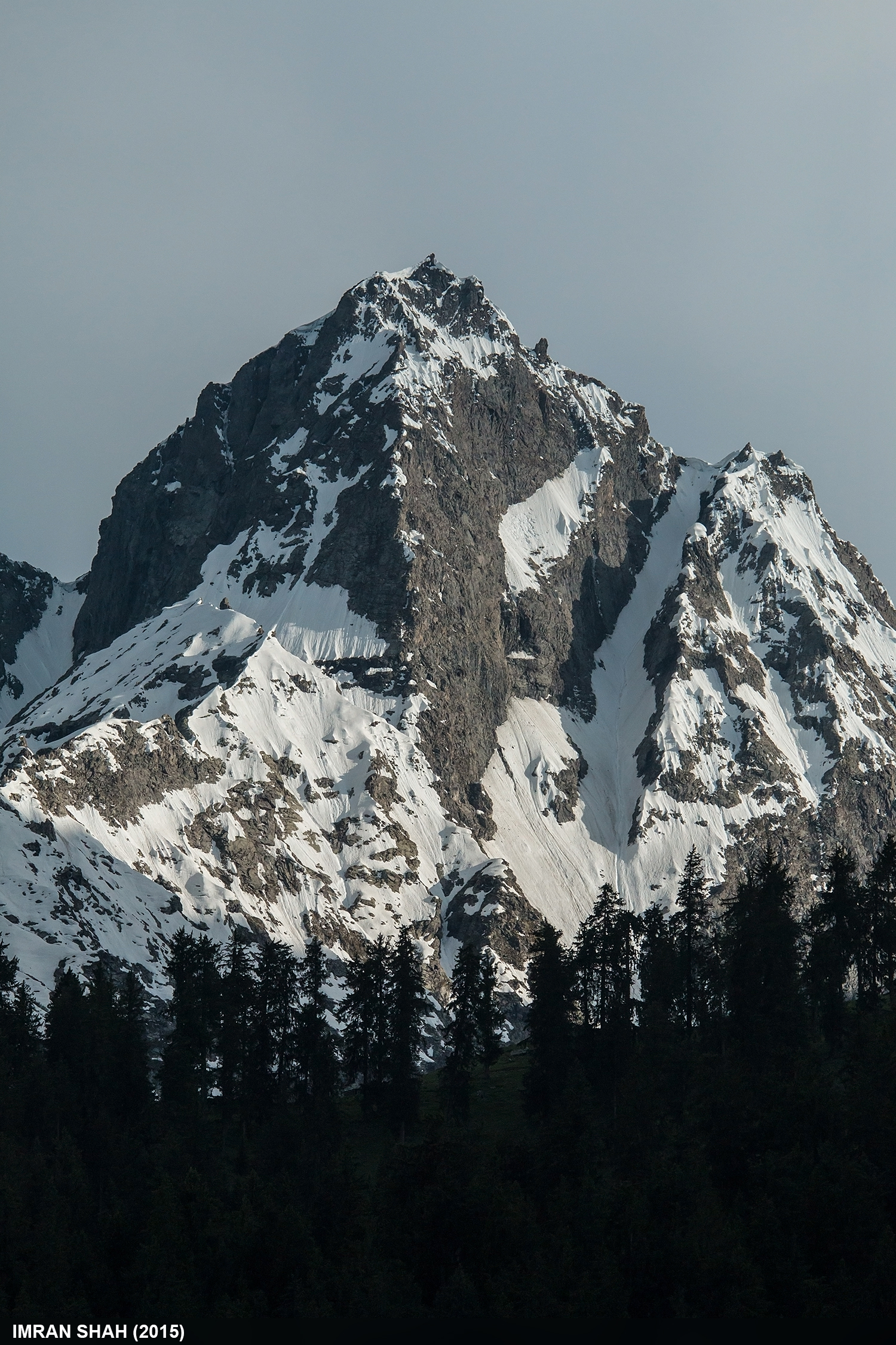
trees pakistan sky snow mountains ice clouds landscape location elements vegetation greenery tele gilgit summits naltar gilgitbaltistan
Unnamed Peaks
aerial aerialphotography karakoam rakaposhi shispare mountains sky hills snow ice peaks flight flying landscape color cloud morning
Rakaposhi and Shispare
greaterkashmir northernareas gilgitbaltistan pakistan pak パキスタン 巴基斯坦 пакистан پاکستان
Traveling on the Karakoram Highway
greaterkashmir northernareas skindarabad gilgitbaltistan pakistan pak パキスタン 巴基斯坦 пакистан پاکستان
Checkpoint along the Karakoram Highway
landscape paisaje
Karakorum Highway
naltar gilgit pakistan north northernareas snow green
Naltar, Gilgit
pakistan sky snow mountains building ice work canon landscape geotagged structures tags location elements vegetation greenery tamron hunza gilgitbaltistan imranshah canoneos70d gilgit2 tamronsp1750mmf28dillvc
Hunza Valley from Murtazabad
pakistan sky panorama clouds landscape geotagged wideangle tags location elements ultrawide stitched gilgit naltar gilgitbaltistan imranshah
Upper Naltar
pakistan sky panorama clouds landscape geotagged wideangle tags location elements ultrawide stitched gilgit naltar gilgitbaltistan imranshah
Naltar Valley
pakistan sky panorama clouds landscape geotagged wideangle tags location elements ultrawide stitched gilgit naltar gilgitbaltistan imranshah
On the way to Natlar
pakistan sky panorama clouds landscape geotagged wideangle tags location elements ultrawide stitched gilgit naltar gilgitbaltistan imranshah
Naltar Valley
pakistan sky panorama clouds landscape geotagged wideangle tags location elements ultrawide stitched gilgit naltar gilgitbaltistan imranshah
On the way to Natlar
pakistan sky panorama clouds landscape geotagged wideangle tags location elements hunza ultrawide stitched gilgitbaltistan imranshah
Harespat Das