Elevation of Rakaposhi
Longitude: 74.4898568
Latitude: 36.1433269
Elevation: 7422m / 24350feet
Barometric Pressure: 39KPa
Elevation Map:
Satellite Map:
Related Photos:

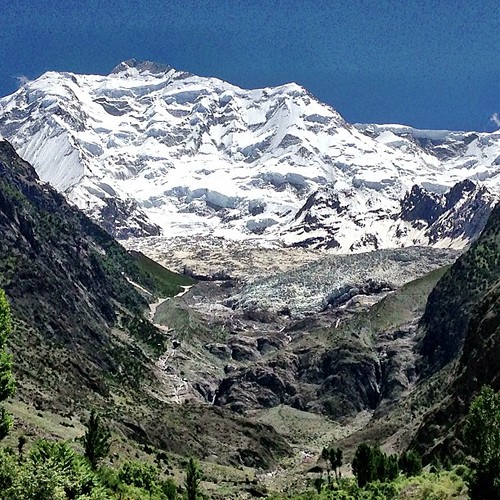
Rakaposhi, viewed from Pisin
Rakaposhi Peak | Rakaposhi Base Camp View | Hunza Nagar | Hunza Valley | Gilgit-Baltistan, Northern Pakistan
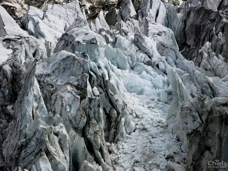
Close view of the ice.

Rakaposhi peak
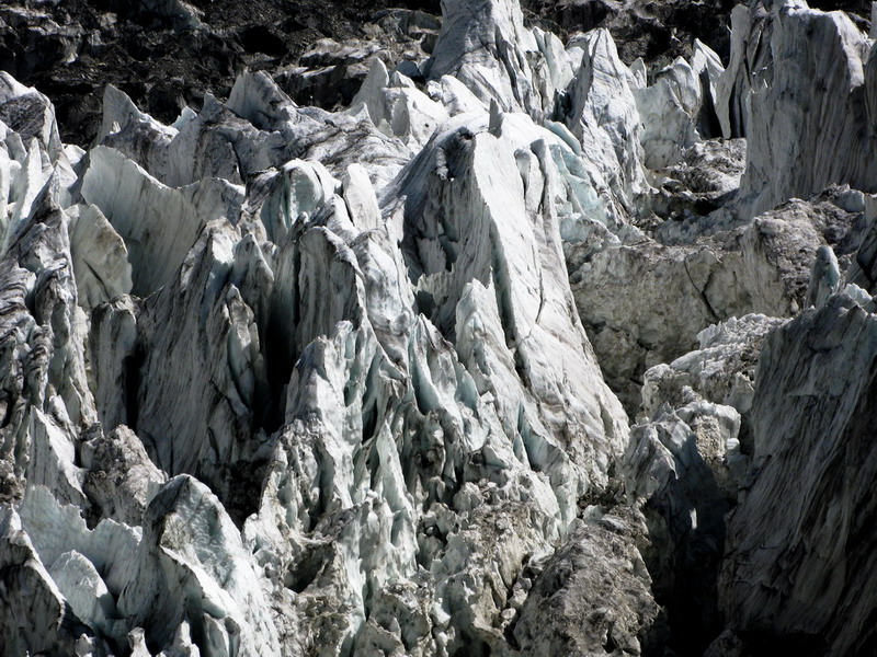
The ice mountain in the glacier
Topographic Map of Rakaposhi
Find elevation by address:

Places near Rakaposhi:
Nilt
Jaglot
Chalt
Nomal Valley
Bagrote Road
Minawar
Gilgit Airport
Gilgit-baltistan Monument
Gilgit
Chari Khand
Naltar Valley
Batura Sar
Toltar
Naltar Lake 4
Naltar Lake
Sherqilla
Thowar
Chatorkhand
Gahkuch
Ishkoman
Recent Searches:
- Elevation of Corso Fratelli Cairoli, 35, Macerata MC, Italy
- Elevation of Tallevast Rd, Sarasota, FL, USA
- Elevation of 4th St E, Sonoma, CA, USA
- Elevation of Black Hollow Rd, Pennsdale, PA, USA
- Elevation of Oakland Ave, Williamsport, PA, USA
- Elevation of Pedrógão Grande, Portugal
- Elevation of Klee Dr, Martinsburg, WV, USA
- Elevation of Via Roma, Pieranica CR, Italy
- Elevation of Tavkvetili Mountain, Georgia
- Elevation of Hartfords Bluff Cir, Mt Pleasant, SC, USA