Elevation of Newburgh, ME, USA
Location: United States > Maine > Penobscot County >
Longitude: -69.0003898
Latitude: 44.7173675
Elevation: 99m / 325feet
Barometric Pressure: 0KPa
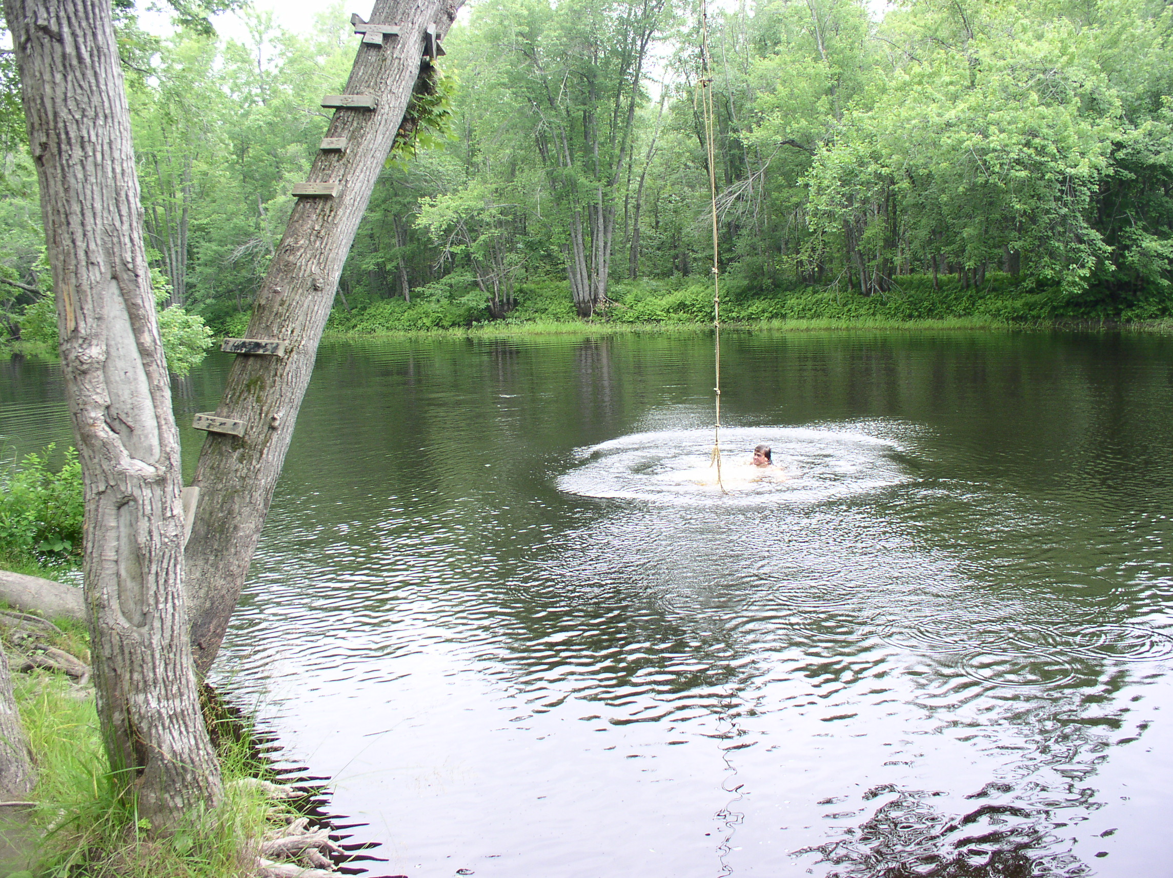
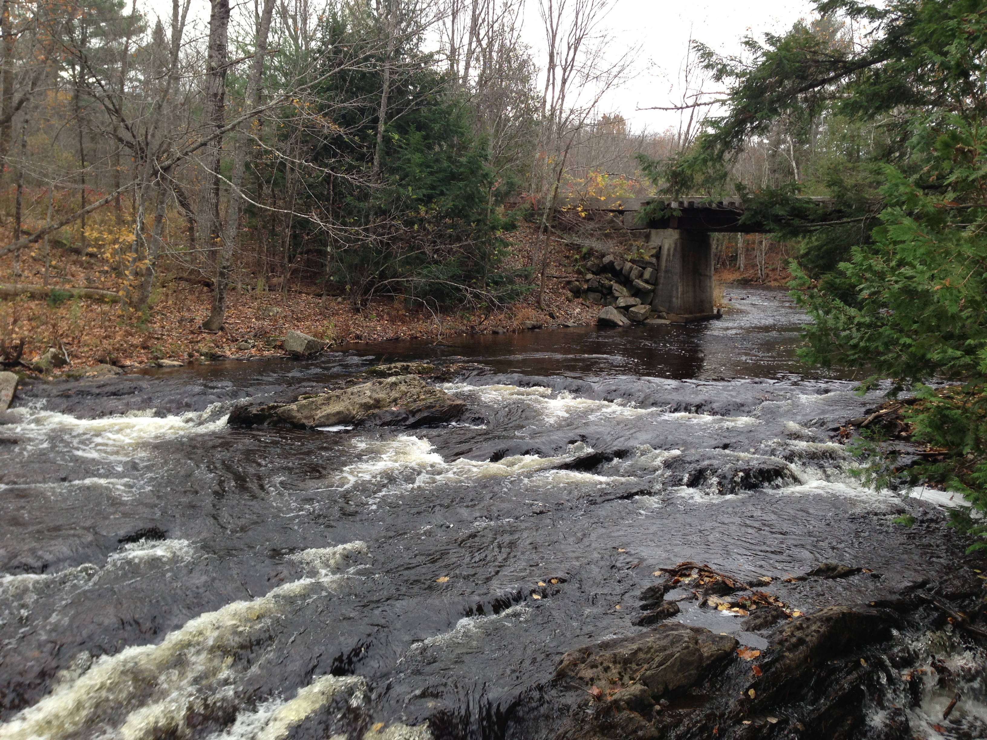
Related Photos:
SEC-PIX-20070225001
SEC-PIX-20070225004
The view down Piper Mountain

It's over...

Some pics of my landscapes

Our little escape...

Camera Roll-30

Maine.

Stuck Jeep B&W 2

Hops at Elm Hill Farm, ME
Camera Roll-16
Camera Roll-32
Camera Roll-12

Some pics of my landscapes
SEC-PIX-20070225002

Bangor Sunset

Snowy Trail
Camera Roll-14

Abandoned Stuck Jeep

Rte. 7, Dixmont

Gray Catbird - Winterport ME 5/13/2014
2003 Canada maine jump (2)
Camera Roll-29

2003 Canada maine jump

100 Mile Wilderness and Mt. Katahdin summit
Topographic Map of Newburgh, ME, USA
Find elevation by address:

Places in Newburgh, ME, USA:
Places near Newburgh, ME, USA:
2639 Kennebec Rd
2639 Kennebec Rd
Mudgett Road
357 Meadow Rd
12 Town Farm Rd
Pond Rd, Hampden, ME, USA
82 Fowlers Landing Rd
Monroe
228 Marsh Stream Rd
Palmer Meadow Road
Kennebec Rd, Dixmont, ME, USA
Hermon
624 Irish Rd
Frankfort, ME, USA
453 Back Brooks Rd
Jackson
Levant
Dixmont
678 Moosehead Trail
30 Sunny Acres Dr
Recent Searches:
- Elevation of 10370, West 107th Circle, Westminster, Jefferson County, Colorado, 80021, USA
- Elevation of 611, Roman Road, Old Ford, Bow, London, England, E3 2RW, United Kingdom
- Elevation of 116, Beartown Road, Underhill, Chittenden County, Vermont, 05489, USA
- Elevation of Window Rock, Colfax County, New Mexico, 87714, USA
- Elevation of 4807, Rosecroft Street, Kempsville Gardens, Virginia Beach, Virginia, 23464, USA
- Elevation map of Matawinie, Quebec, Canada
- Elevation of Sainte-Émélie-de-l'Énergie, Matawinie, Quebec, Canada
- Elevation of Rue du Pont, Sainte-Émélie-de-l'Énergie, Matawinie, Quebec, J0K2K0, Canada
- Elevation of 8, Rue de Bécancour, Blainville, Thérèse-De Blainville, Quebec, J7B1N2, Canada
- Elevation of Wilmot Court North, 163, University Avenue West, Northdale, Waterloo, Region of Waterloo, Ontario, N2L6B6, Canada
- Elevation map of Panamá Province, Panama
- Elevation of Balboa, Panamá Province, Panama
- Elevation of San Miguel, Balboa, Panamá Province, Panama
- Elevation of Isla Gibraleón, San Miguel, Balboa, Panamá Province, Panama
- Elevation of 4655, Krischke Road, Schulenburg, Fayette County, Texas, 78956, USA
- Elevation of Carnegie Avenue, Downtown Cleveland, Cleveland, Cuyahoga County, Ohio, 44115, USA
- Elevation of Walhonding, Coshocton County, Ohio, USA
- Elevation of Clifton Down, Clifton, Bristol, City of Bristol, England, BS8 3HU, United Kingdom
- Elevation map of Auvergne-Rhône-Alpes, France
- Elevation map of Upper Savoy, Auvergne-Rhône-Alpes, France