Elevation of Irish Rd, Levant, ME, USA
Location: United States > Maine > Penobscot County > Levant >
Longitude: -69.0208857
Latitude: 44.8435626
Elevation: 87m / 285feet
Barometric Pressure: 0KPa
Related Photos:

De mon perron d'en avant - soir du 11 juin - encadré
SEC-PIX-20070225001
SEC-PIX-20070225004
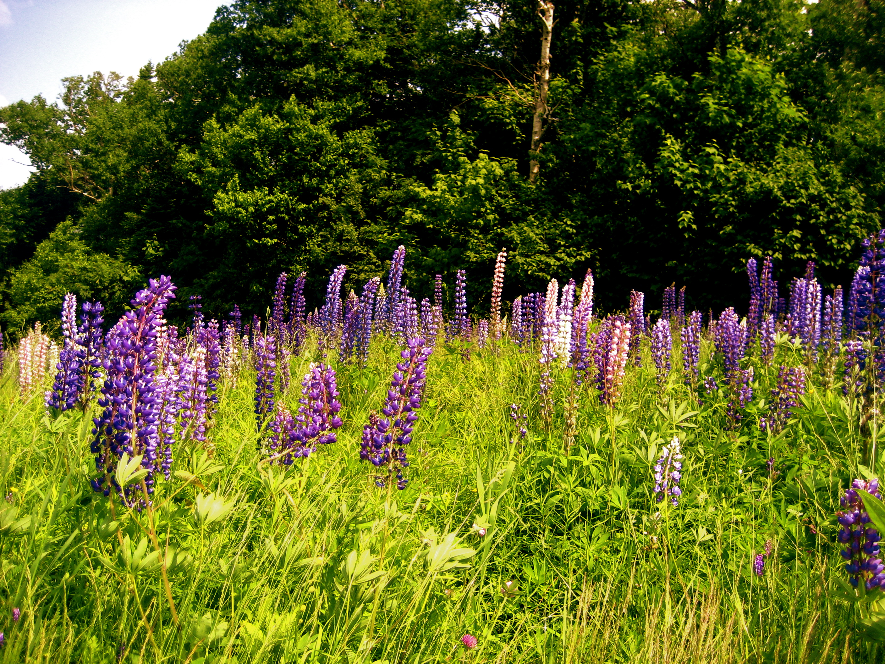
Lupines on Saddleback Mountain

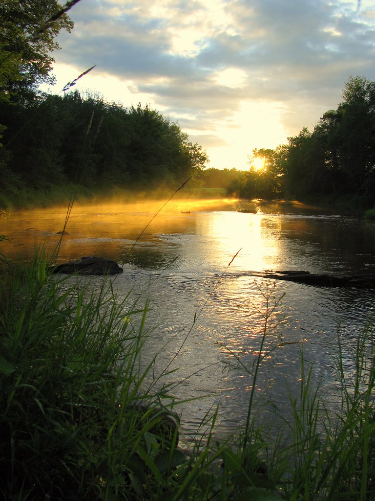
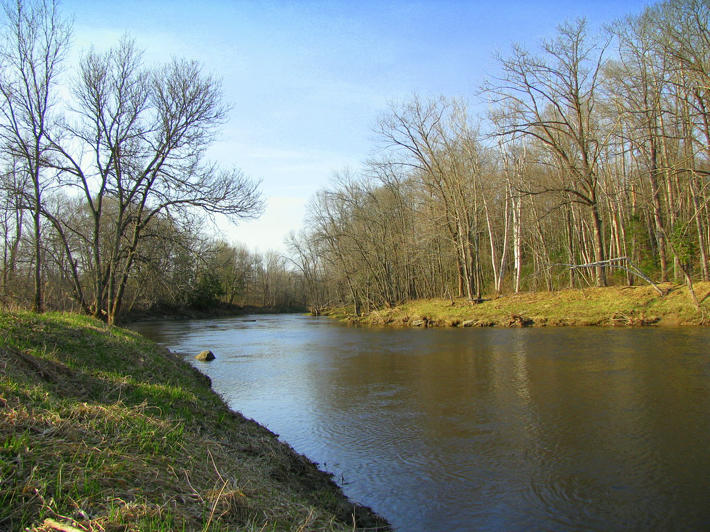
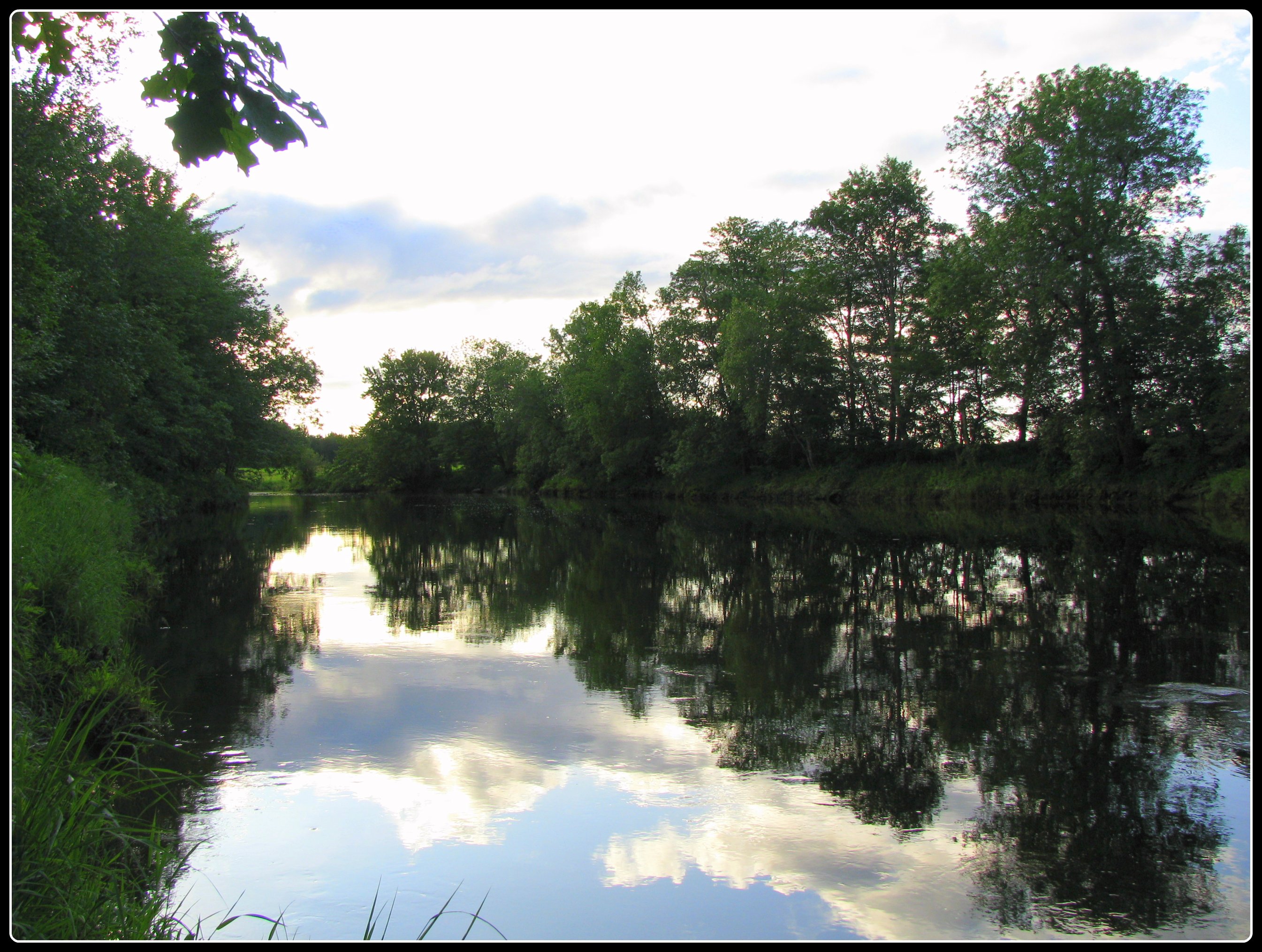
Ruisseau Kenduskeag Stream I
Ruisseau Kenduskeag Stream IV
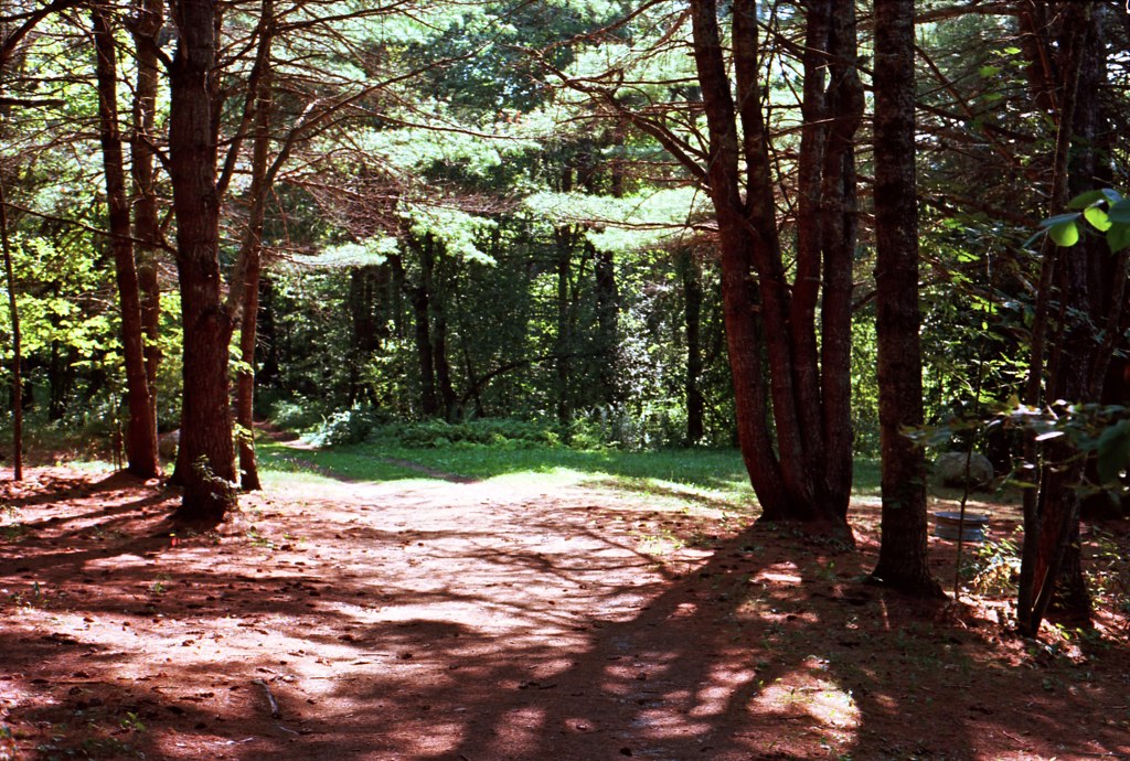
Forest & Sun
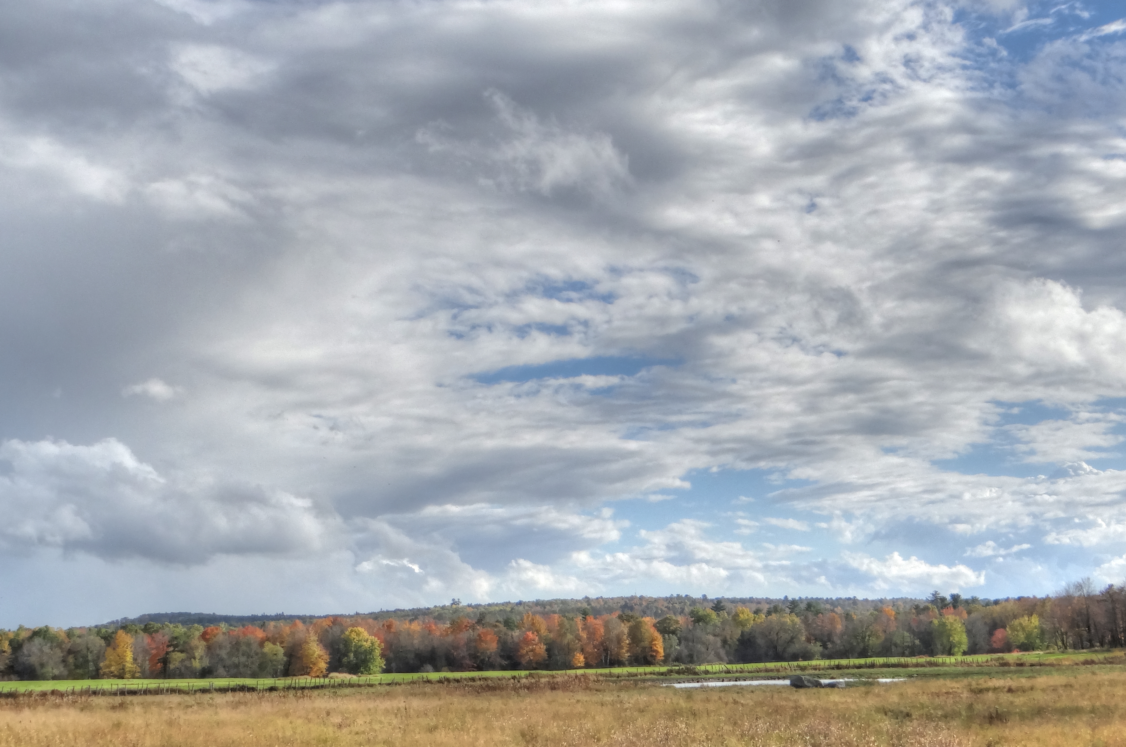
Fall in Maine

weather pics

Some pics of my landscapes
Maine.
Ruisseau Kenduskeag Stream 4-27-09

La tempête arrive
Psaume 23 - De verts parturages

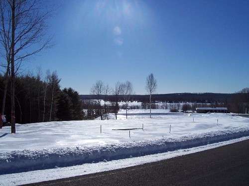
Snowy Trail
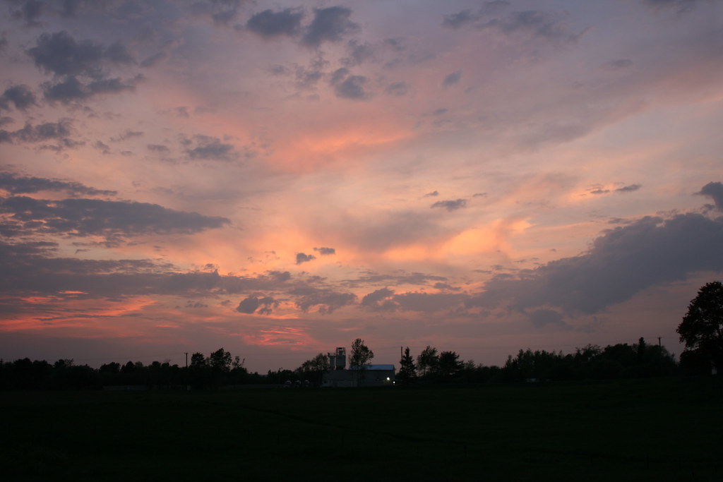
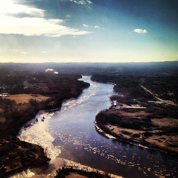
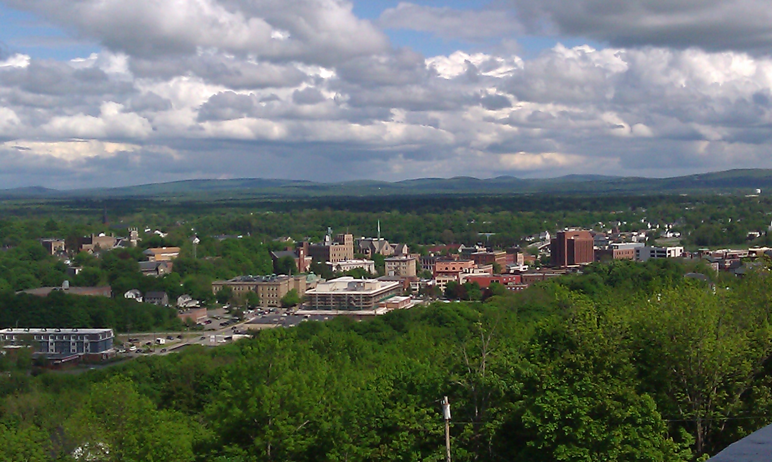
Bangor Sunset
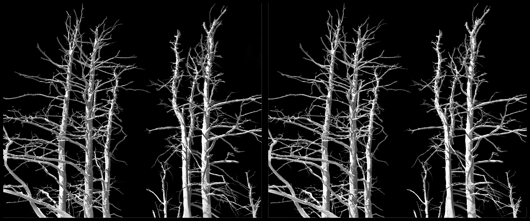
Ghost Trees
2003 Canada maine jump (2)
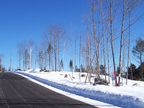
weather pics
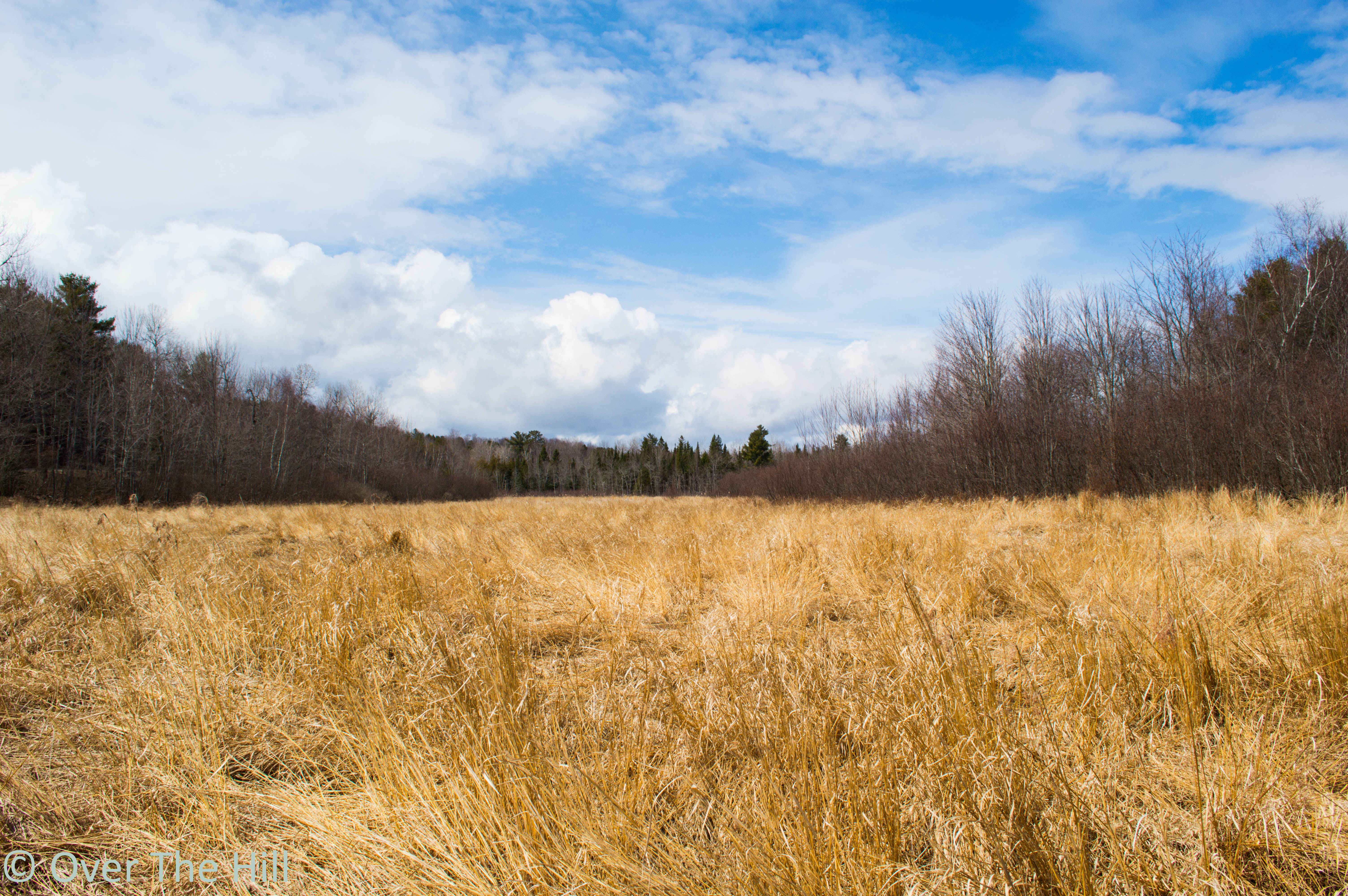
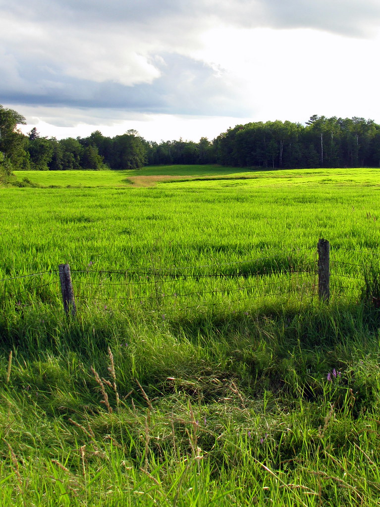
Field in A Small Town
Des eaux paisibles - Quiet waters

100 Mile Wilderness and Mt. Katahdin summit
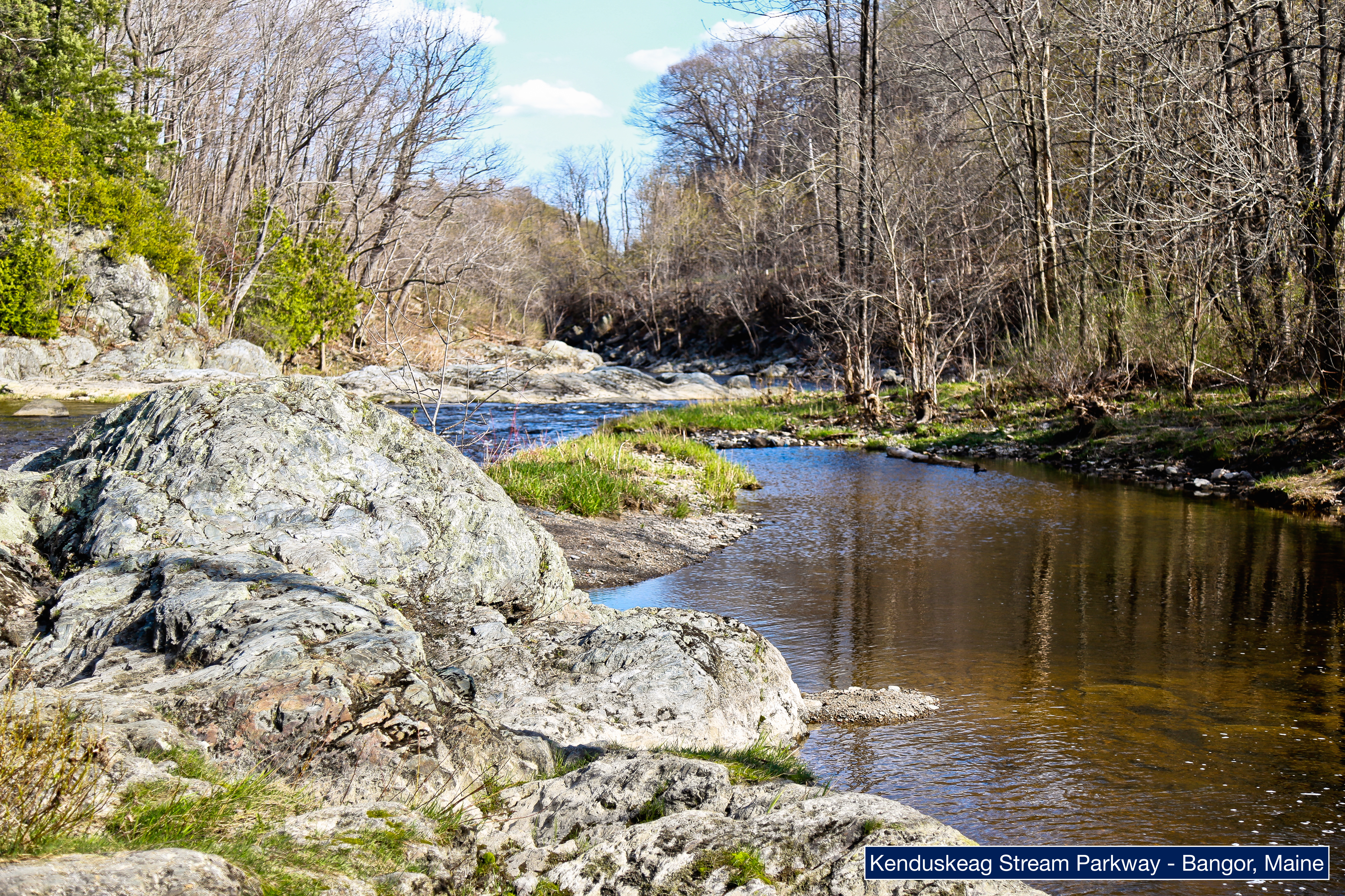
Kenduskeag Stream Parkway
Kenduskeag, Maine farm
Topographic Map of Irish Rd, Levant, ME, USA
Find elevation by address:

Places near Irish Rd, Levant, ME, USA:
Levant
30 Sunny Acres Dr
82 Fowlers Landing Rd
Pond Rd, Hampden, ME, USA
Hermon
Newburgh
Avenue Rd, Exeter, ME, USA
Corinth
Mudgett Road
701 Stetson Rd
Exeter
2639 Kennebec Rd
2639 Kennebec Rd
357 Meadow Rd
177 Palmer Rd
52 Darling Rd
Palmer Meadow Road
1470 Exeter Rd
Kennebec Rd, Dixmont, ME, USA
12 Town Farm Rd
Recent Searches:
- Elevation of 10370, West 107th Circle, Westminster, Jefferson County, Colorado, 80021, USA
- Elevation of 611, Roman Road, Old Ford, Bow, London, England, E3 2RW, United Kingdom
- Elevation of 116, Beartown Road, Underhill, Chittenden County, Vermont, 05489, USA
- Elevation of Window Rock, Colfax County, New Mexico, 87714, USA
- Elevation of 4807, Rosecroft Street, Kempsville Gardens, Virginia Beach, Virginia, 23464, USA
- Elevation map of Matawinie, Quebec, Canada
- Elevation of Sainte-Émélie-de-l'Énergie, Matawinie, Quebec, Canada
- Elevation of Rue du Pont, Sainte-Émélie-de-l'Énergie, Matawinie, Quebec, J0K2K0, Canada
- Elevation of 8, Rue de Bécancour, Blainville, Thérèse-De Blainville, Quebec, J7B1N2, Canada
- Elevation of Wilmot Court North, 163, University Avenue West, Northdale, Waterloo, Region of Waterloo, Ontario, N2L6B6, Canada
- Elevation map of Panamá Province, Panama
- Elevation of Balboa, Panamá Province, Panama
- Elevation of San Miguel, Balboa, Panamá Province, Panama
- Elevation of Isla Gibraleón, San Miguel, Balboa, Panamá Province, Panama
- Elevation of 4655, Krischke Road, Schulenburg, Fayette County, Texas, 78956, USA
- Elevation of Carnegie Avenue, Downtown Cleveland, Cleveland, Cuyahoga County, Ohio, 44115, USA
- Elevation of Walhonding, Coshocton County, Ohio, USA
- Elevation of Clifton Down, Clifton, Bristol, City of Bristol, England, BS8 3HU, United Kingdom
- Elevation map of Auvergne-Rhône-Alpes, France
- Elevation map of Upper Savoy, Auvergne-Rhône-Alpes, France