Elevation of Kennebec Rd, Dixmont, ME, USA
Location: United States > Maine > Penobscot County > Dixmont >
Longitude: -69.118253
Latitude: 44.6878771
Elevation: 150m / 492feet
Barometric Pressure: 100KPa
Elevation Map:
Satellite Map:
Related Photos:
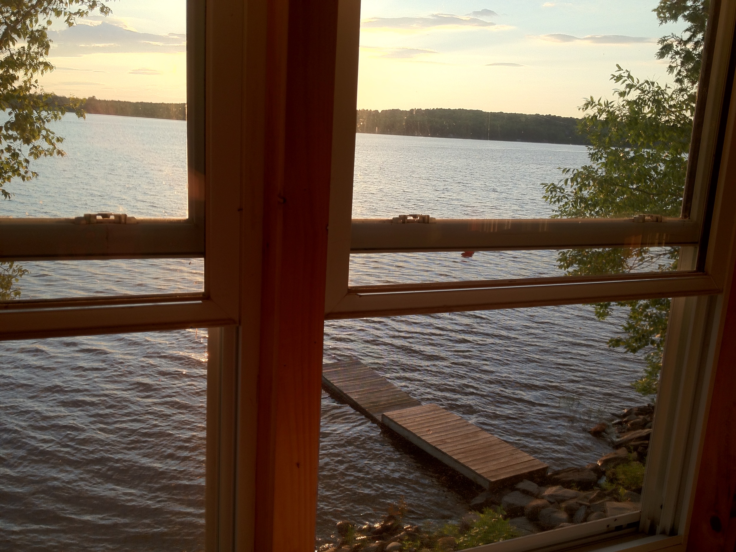
View from 2nd story
The view down Piper Mountain
Some pics of my landscapes

Chris and Anne

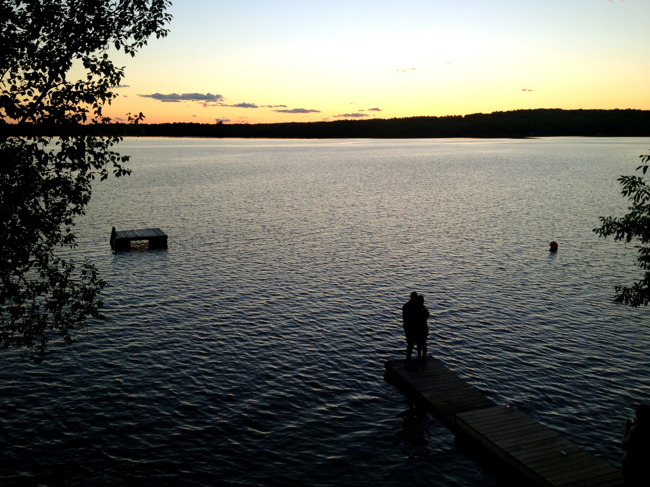
Sunset over Unity Pond
Maine.

Camera Roll-30
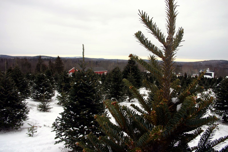
Hops at Elm Hill Farm, ME
Camera Roll-16
Camera Roll-32

Sunset over Unity Pond
Camera Roll-12

Sunset over Unity Pond
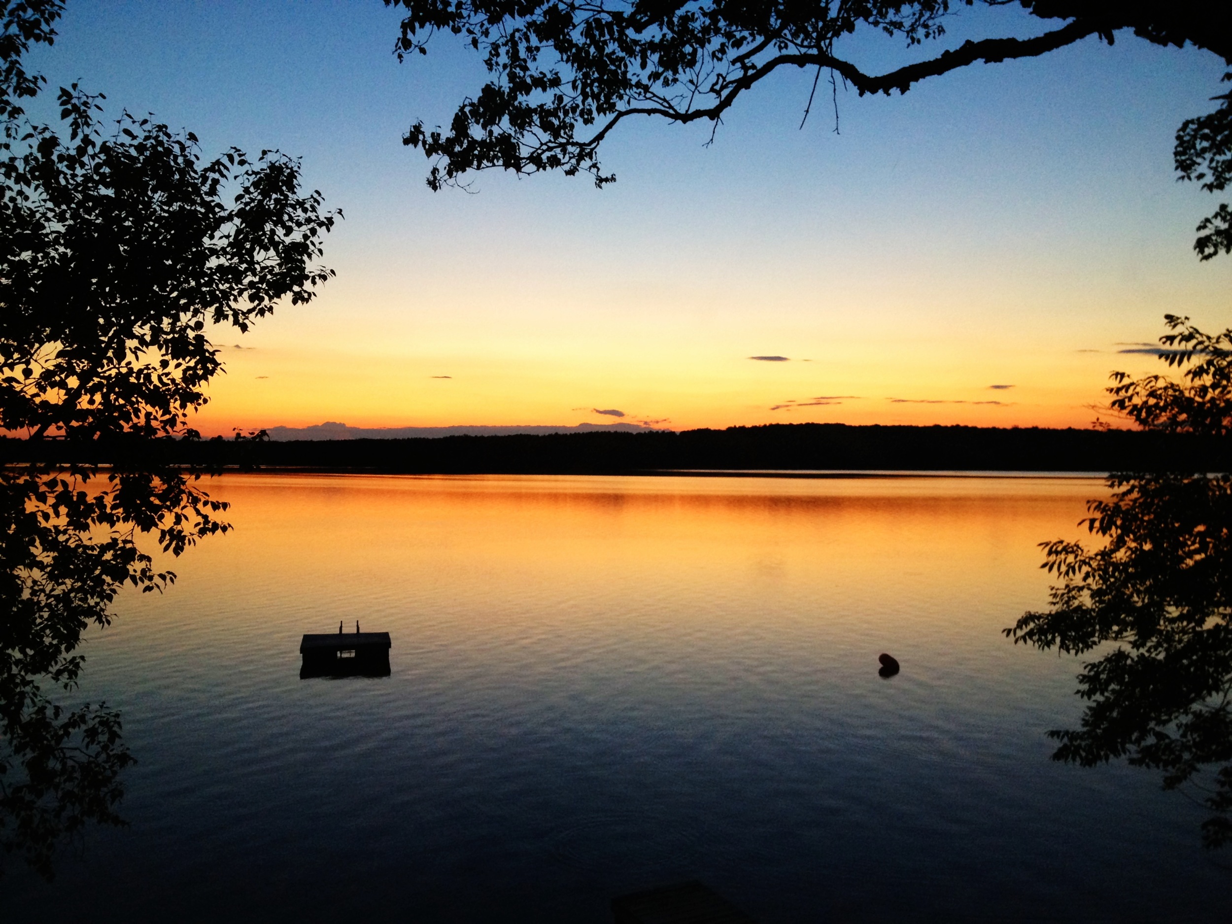
Unity Pond Sunset

Some pics of my landscapes
Sunset over Unity Pond

Sunset over Unity Pond
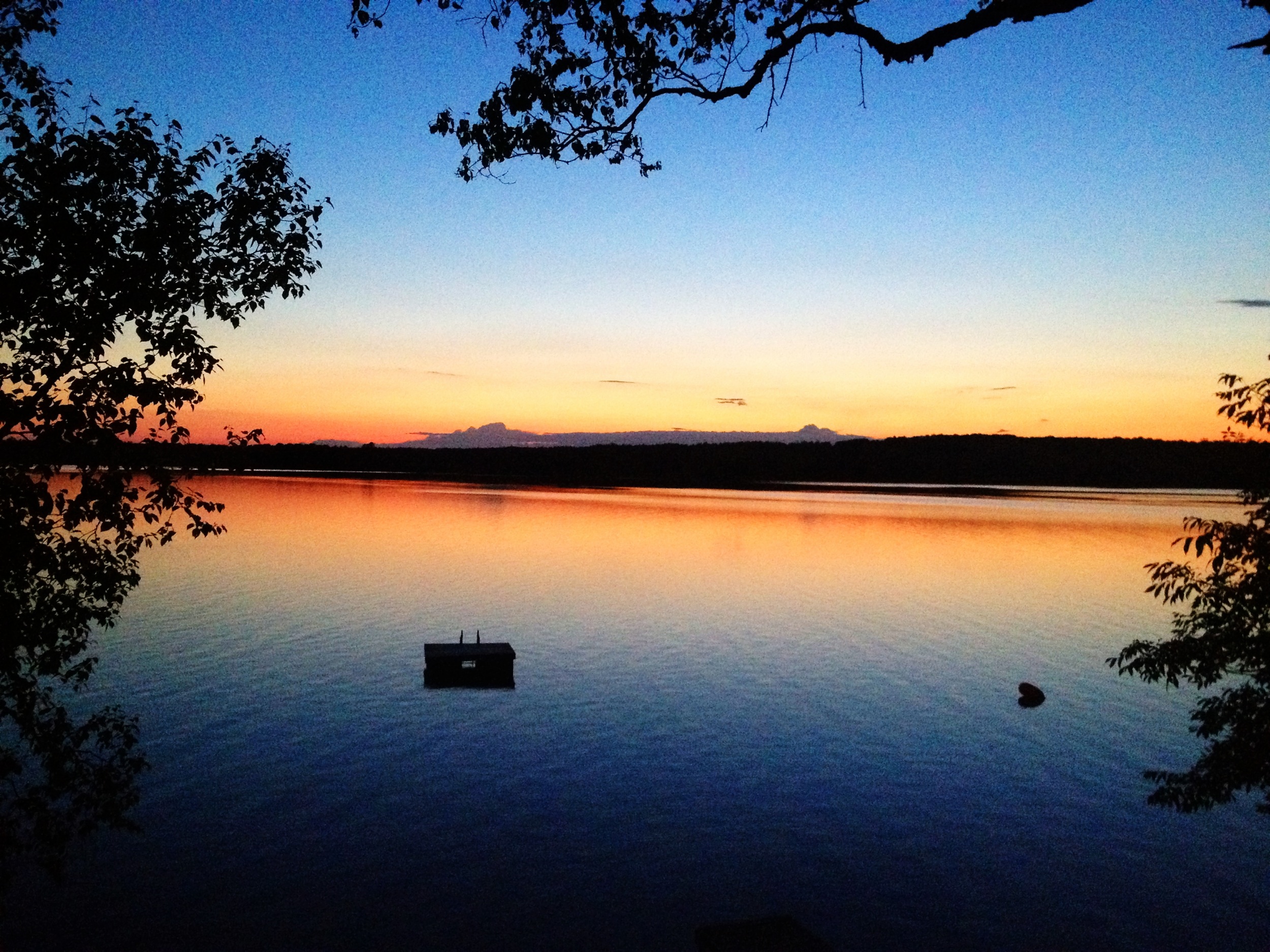
Unity Pond Sunset

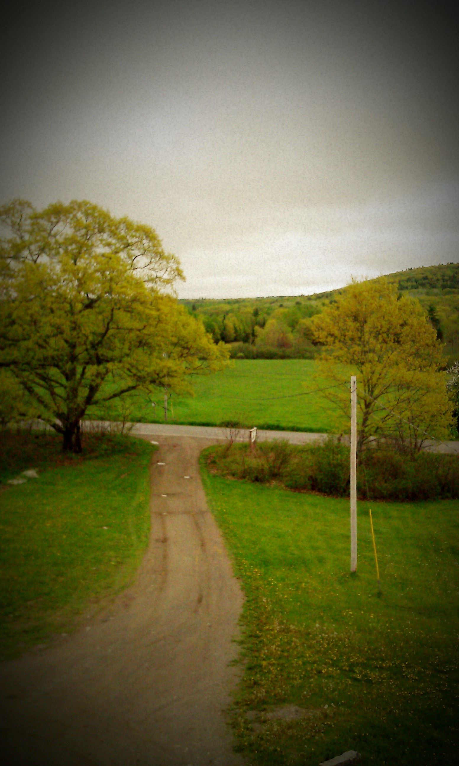
Snowy Trail
Camera Roll-14

Abandoned Stuck Jeep

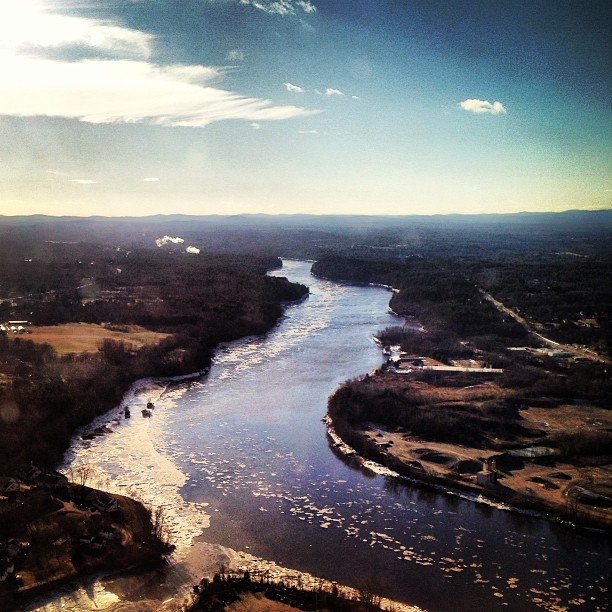
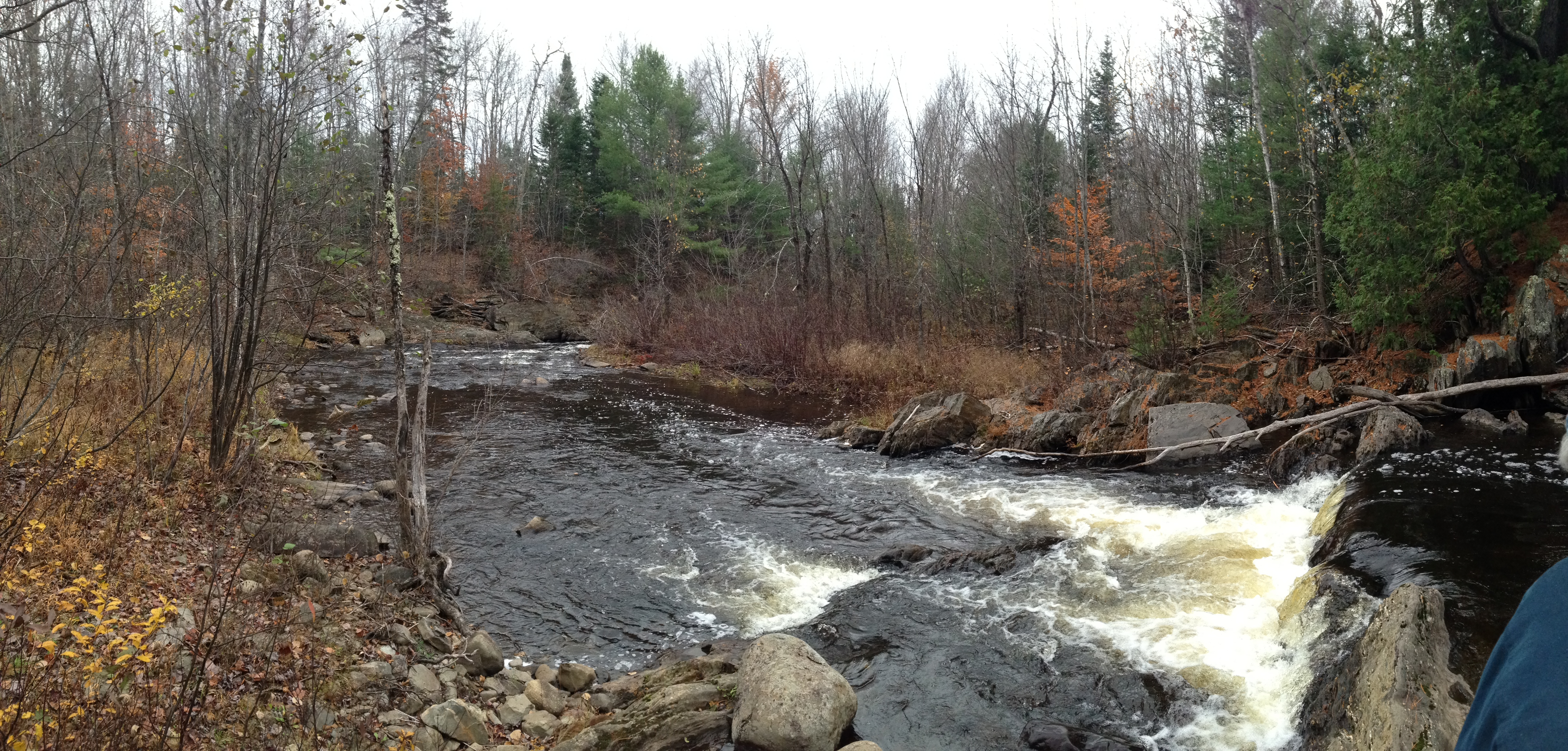
Rte. 7, Dixmont

Stuck Jeep B&W 2
Topographic Map of Kennebec Rd, Dixmont, ME, USA
Find elevation by address:

Places near Kennebec Rd, Dixmont, ME, USA:
Palmer Meadow Road
Dixmont
678 Moosehead Trail
Jackson
Mudgett Road
2639 Kennebec Rd
2639 Kennebec Rd
Sullivan Way
Newburgh
Monroe
433 Bagley Hill Rd
146 Files Hill Rd
Troy
453 Back Brooks Rd
Bangor Rd, Troy, ME, USA
350 Moulton Rd
350 Moulton Rd
350 Moulton Rd
Thorndike
Palmer Road
Recent Searches:
- Elevation of Corso Fratelli Cairoli, 35, Macerata MC, Italy
- Elevation of Tallevast Rd, Sarasota, FL, USA
- Elevation of 4th St E, Sonoma, CA, USA
- Elevation of Black Hollow Rd, Pennsdale, PA, USA
- Elevation of Oakland Ave, Williamsport, PA, USA
- Elevation of Pedrógão Grande, Portugal
- Elevation of Klee Dr, Martinsburg, WV, USA
- Elevation of Via Roma, Pieranica CR, Italy
- Elevation of Tavkvetili Mountain, Georgia
- Elevation of Hartfords Bluff Cir, Mt Pleasant, SC, USA