Elevation of Nelson County, VA, USA
Location: United States > Virginia >
Longitude: -78.883554
Latitude: 37.7478599
Elevation: 222m / 728feet
Barometric Pressure: 99KPa
Elevation Map:
Satellite Map:
Related Photos:
Roseland, VA
Rte.56, Shenadoah National Park, Va,: Oct. 12

The view from the top, Crabtree Falls, VA
No Bull View
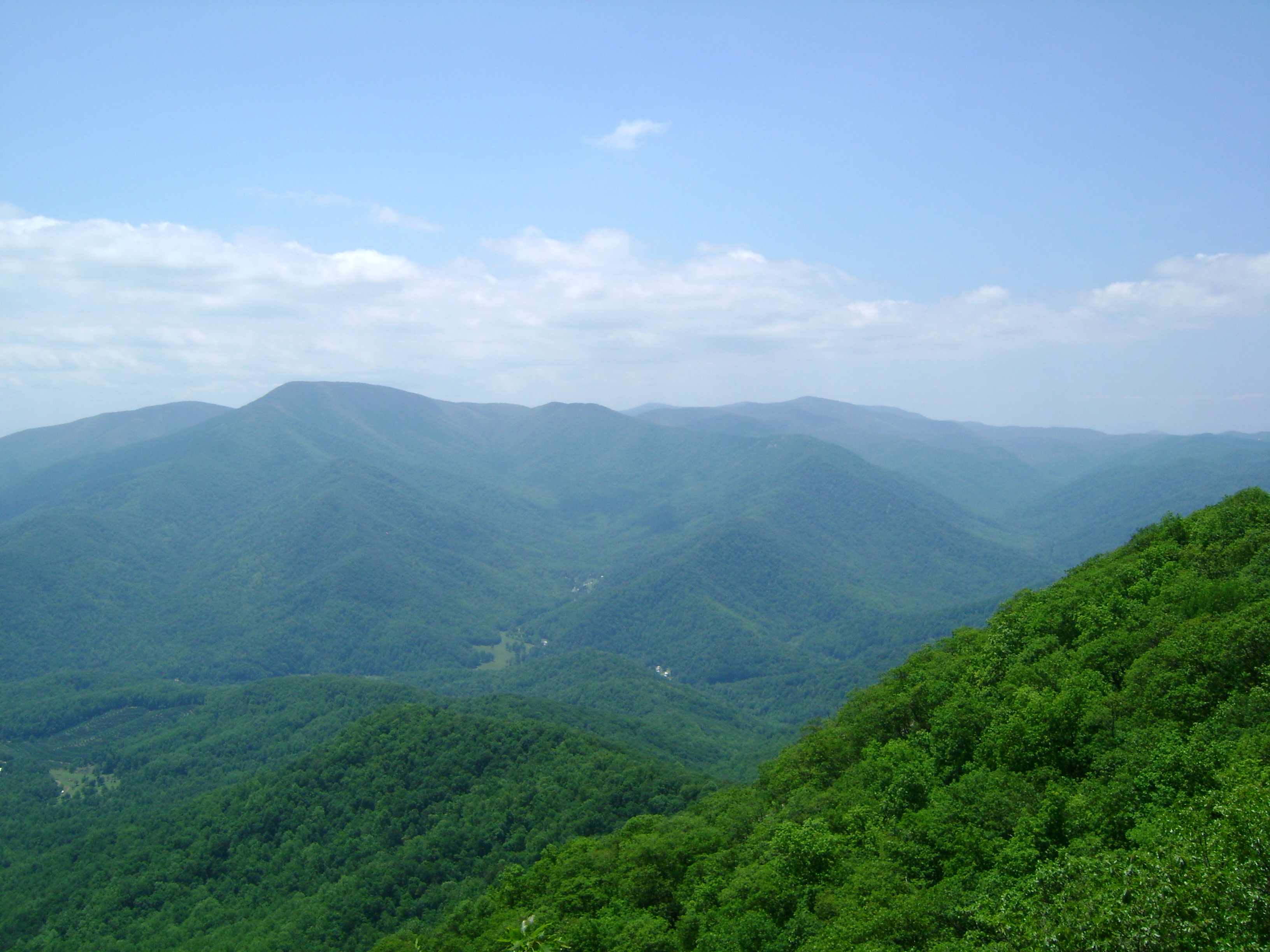
Panorama view from Hanging Rock

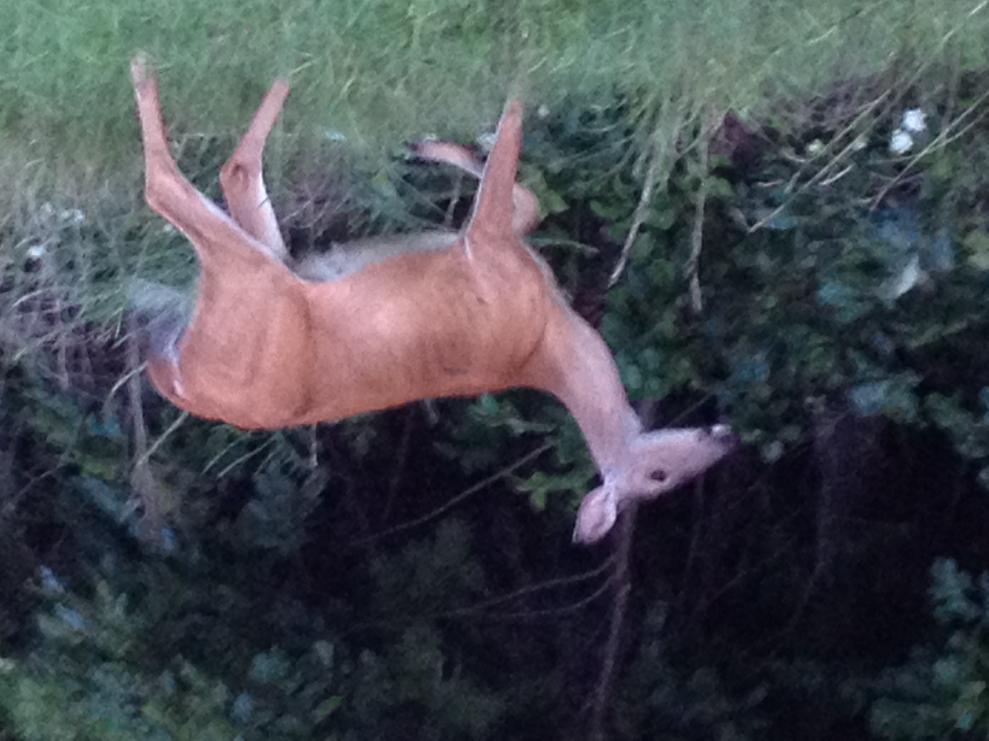
A Mouses Point of View

Pharsalia Mist

Fall view of the back "yard"

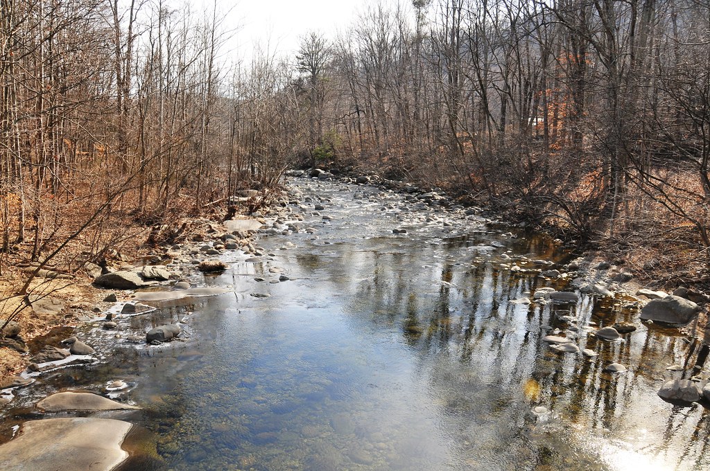
View from Farrar Bridge Road
View east from Tye River swinging bridge

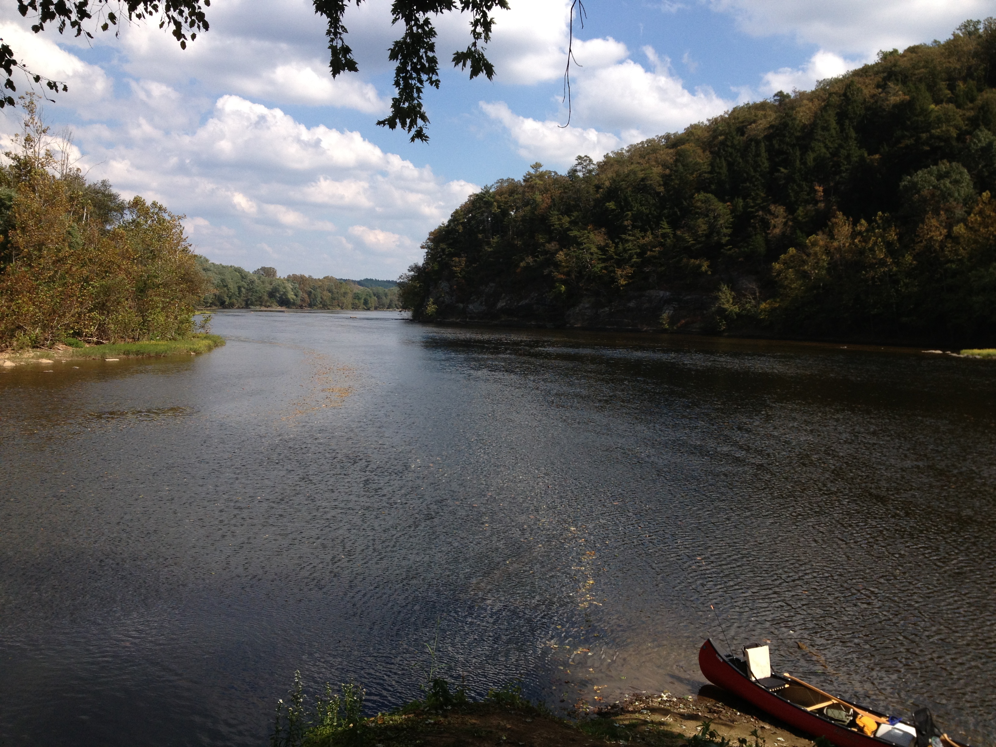
James River
Training Runs - June 2009

Woodson's Mill, Piney River, Virginia
James River

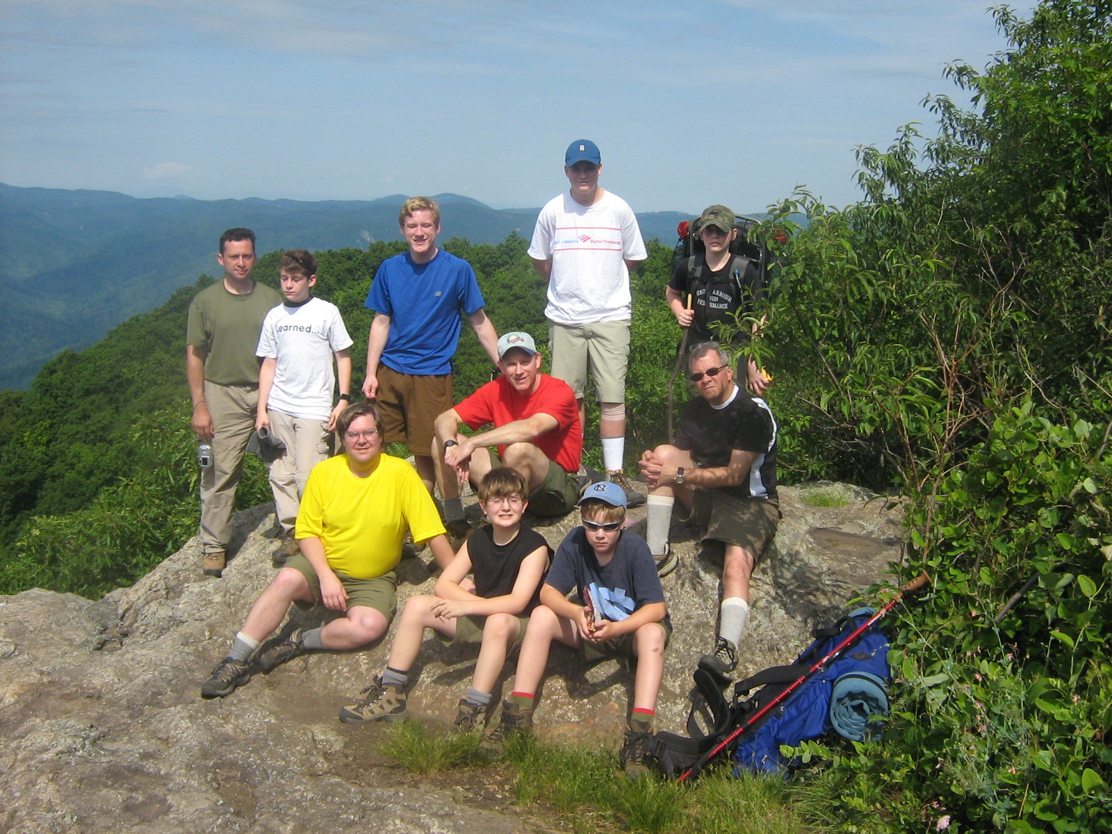
Three Ridges - June 2009

Training Runs - June 2009

Training Runs - June 2009
Training Runs - June 2009
View from Hanging Rock
IMG_3695.CR2
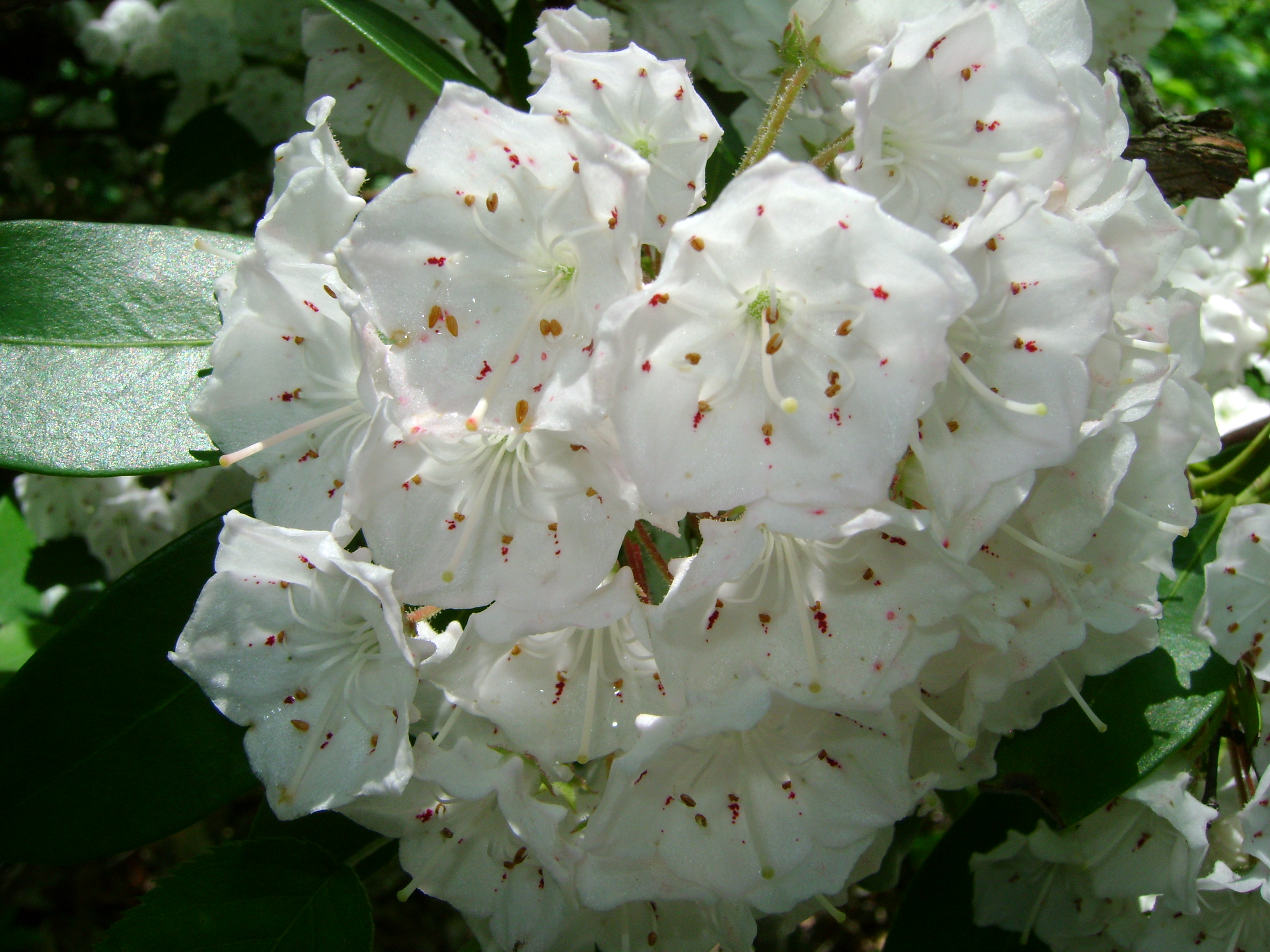
A Piece of Heaven

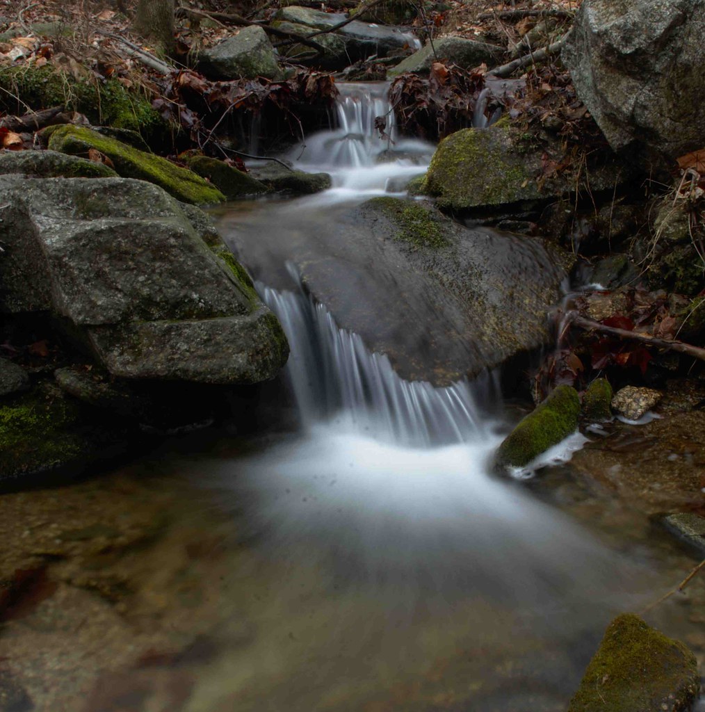
Flowing water at Fortune's Cove
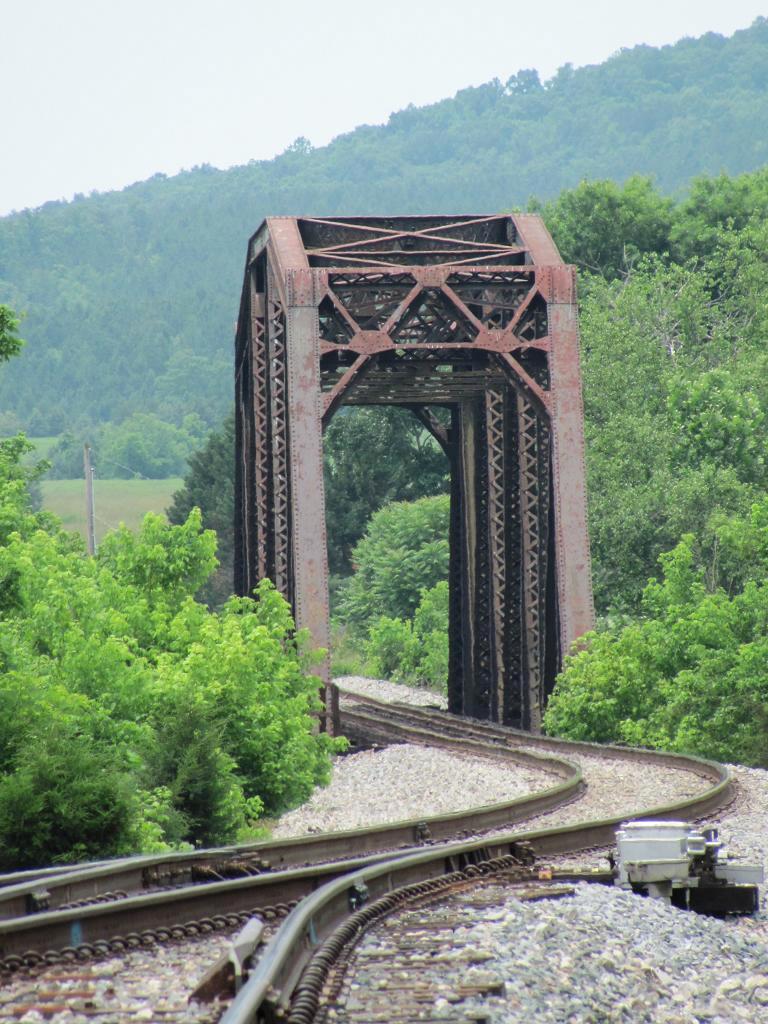
Railroad Bridge, Norwood
20140204_0023.v01
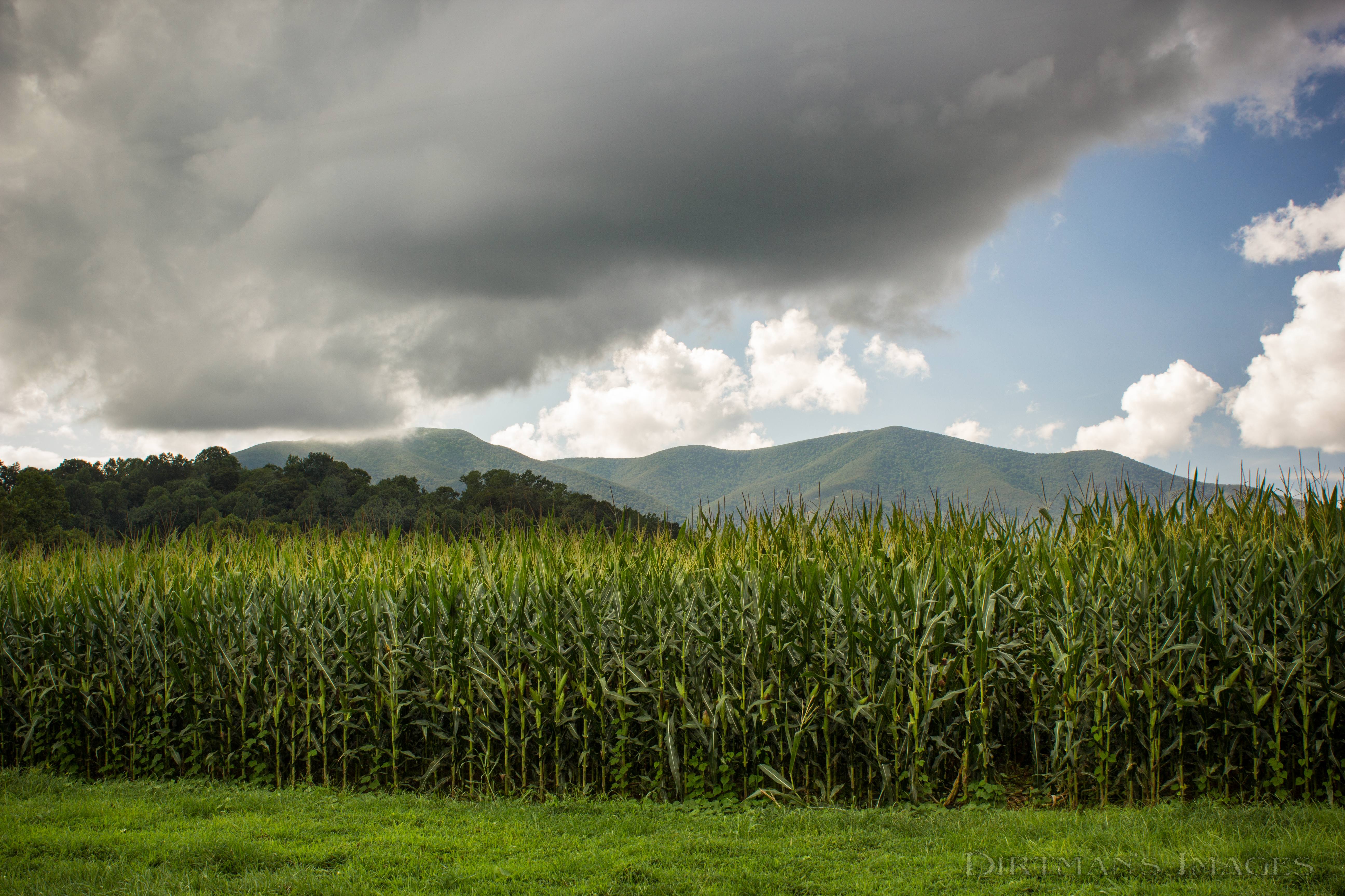
Fields of Gold under Mountains of Magesty

Spring Returns to the Mountains

In Search of the Great Pumpkin
2013-10-06 13.36.15
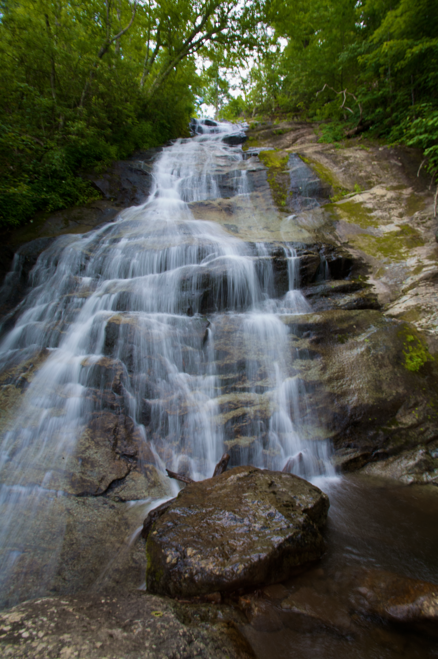
Crab Tree Fals

Wintergreen-20120429-011

Fall Foliage - James River State Park, Gladstone, VA
Freshwater Cove Panoramic
Dolan's Farm at Norwood
Wintergreen-20120429-010
Oak Ridge Estate sunset

On fall foliage assignment. Crabtree Falls > The Priest > Spy Rock 17.3 mile loop on the AT. Sleeping at The Priest ridge tonight #hiregfp #photographer #editorial #fall #virginia #hiker #appalachiantrail #at #lowepro #photosport #30L
_DSC3768-Edit.jpg

Rte.56, Shenadoah National Park, Va,: Oct. 12
Topographic Map of Nelson County, VA, USA
Find elevation by address:

Places in Nelson County, VA, USA:
Places near Nelson County, VA, USA:
Nelson County
Thomas Nelson Highway
Thomas Nelson Highway
Lovingston
1884 Fortune's Cove Ln
2300 Oak Ridge Rd
1500 Diggs Mountain Rd
1510 Diggs Mountain Rd
75 Lentz Ln
Shipman
Arrington
708 Snow Hill Ln
2857 Dark Hollow Rd
370 Bowling Dr
Lovingston
473 Gunter Hollow Ln
Roseland
Pigeon Hill Rd, Roseland, VA, USA
1950 State Rte 722
447 Persimmon Hill Dr
Recent Searches:
- Elevation of Corso Fratelli Cairoli, 35, Macerata MC, Italy
- Elevation of Tallevast Rd, Sarasota, FL, USA
- Elevation of 4th St E, Sonoma, CA, USA
- Elevation of Black Hollow Rd, Pennsdale, PA, USA
- Elevation of Oakland Ave, Williamsport, PA, USA
- Elevation of Pedrógão Grande, Portugal
- Elevation of Klee Dr, Martinsburg, WV, USA
- Elevation of Via Roma, Pieranica CR, Italy
- Elevation of Tavkvetili Mountain, Georgia
- Elevation of Hartfords Bluff Cir, Mt Pleasant, SC, USA