Elevation of Lovingston, VA, USA
Location: United States > Virginia > Nelson County >
Longitude: -78.883554
Latitude: 37.6638248
Elevation: 221m / 725feet
Barometric Pressure: 99KPa
Elevation Map:
Satellite Map:
Related Photos:
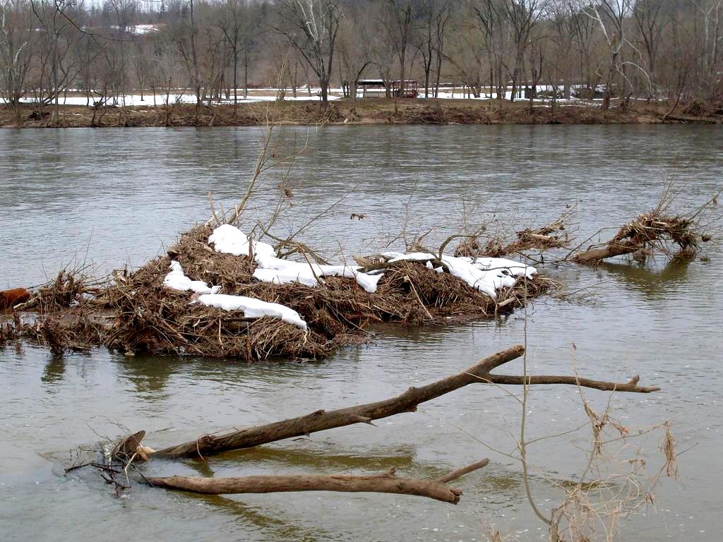
James River Debris
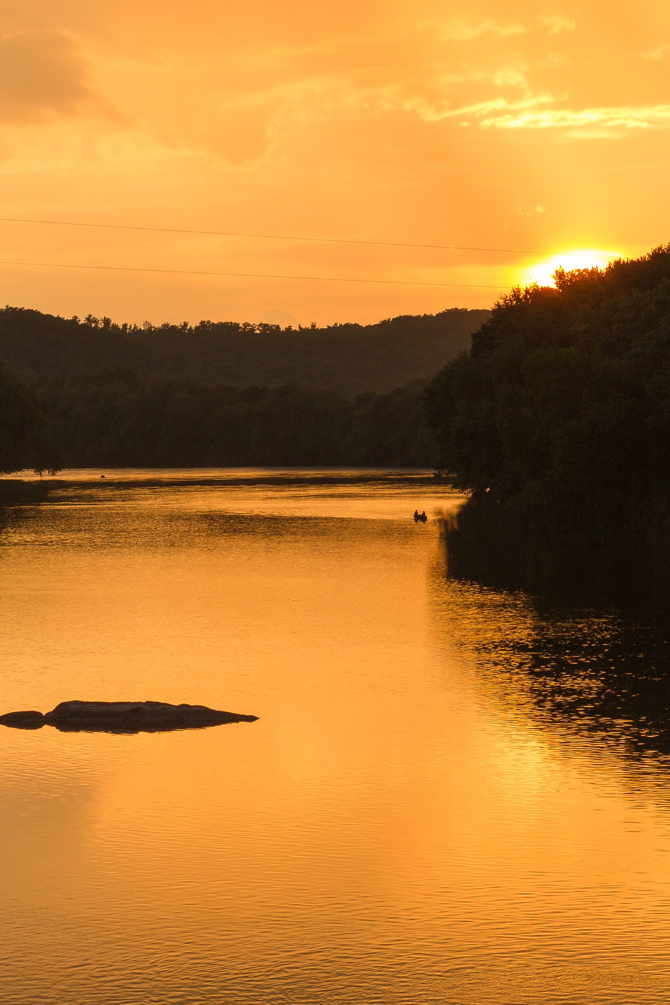
Sundown at Wingina

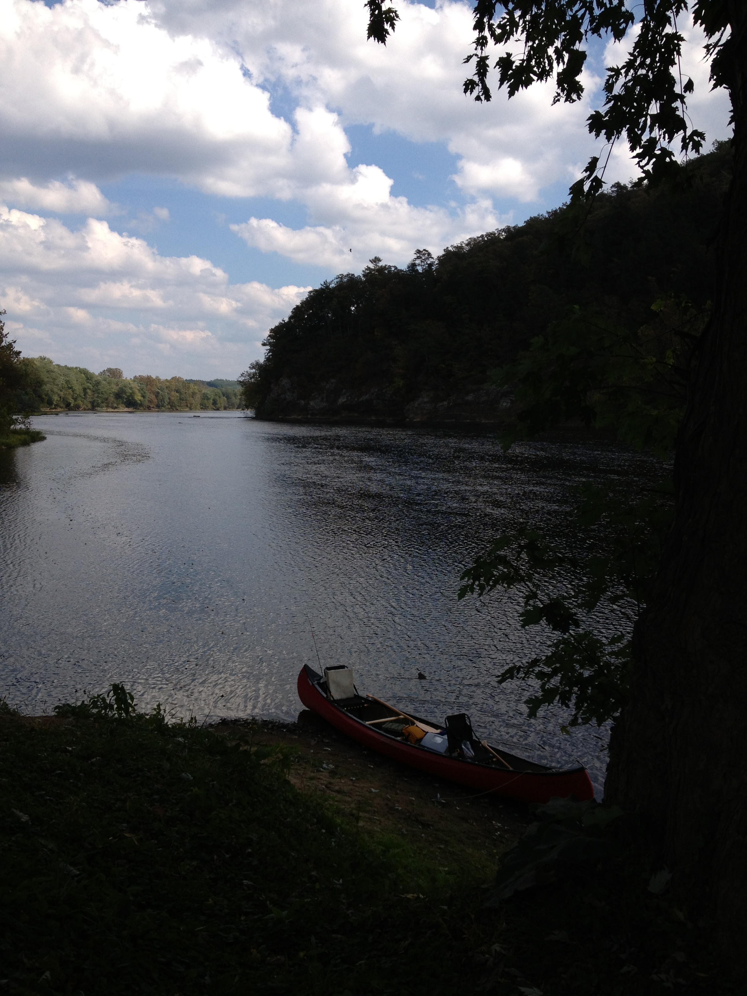
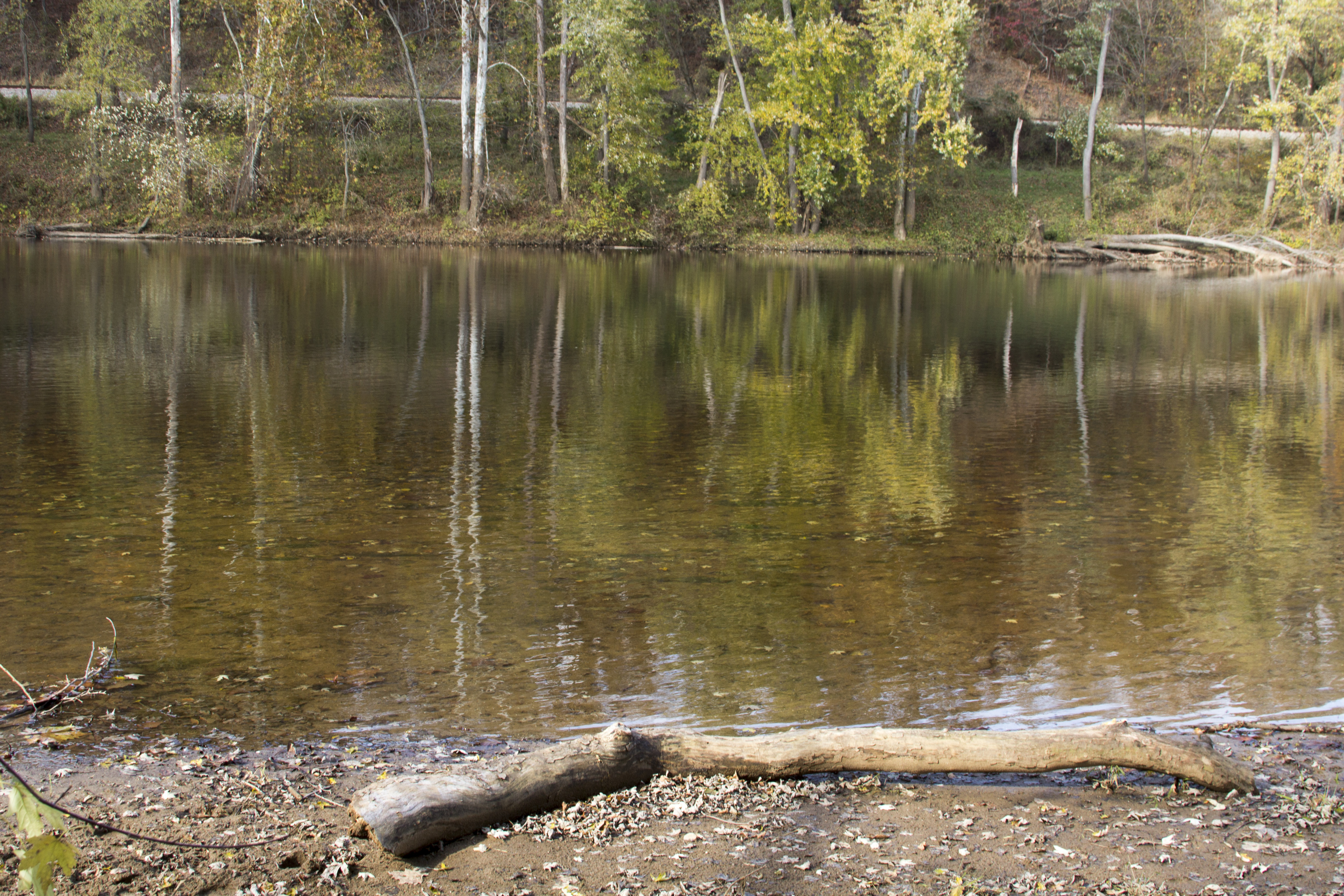
James River

James River

Barrel House View

Fall view of the back "yard"
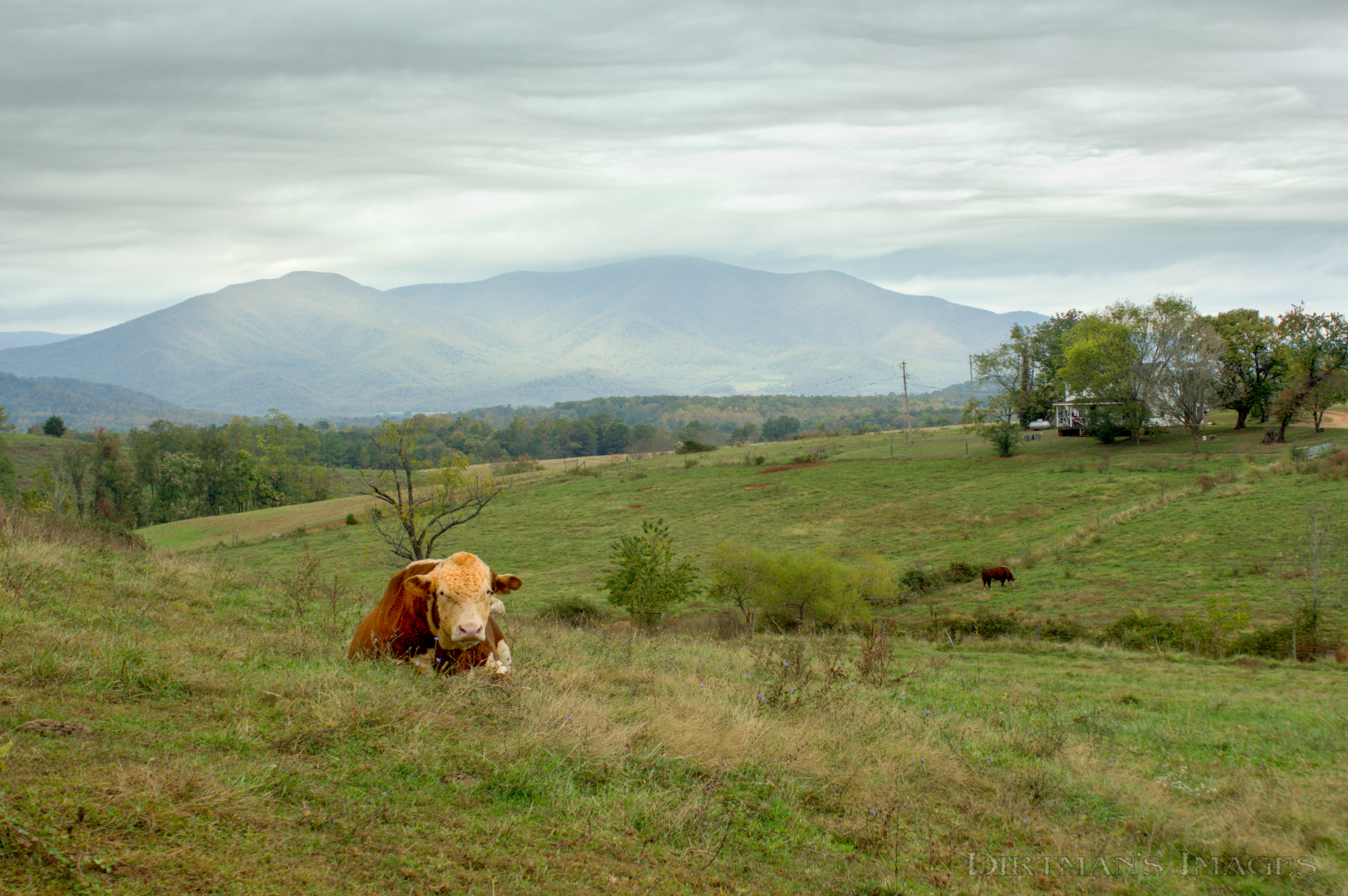
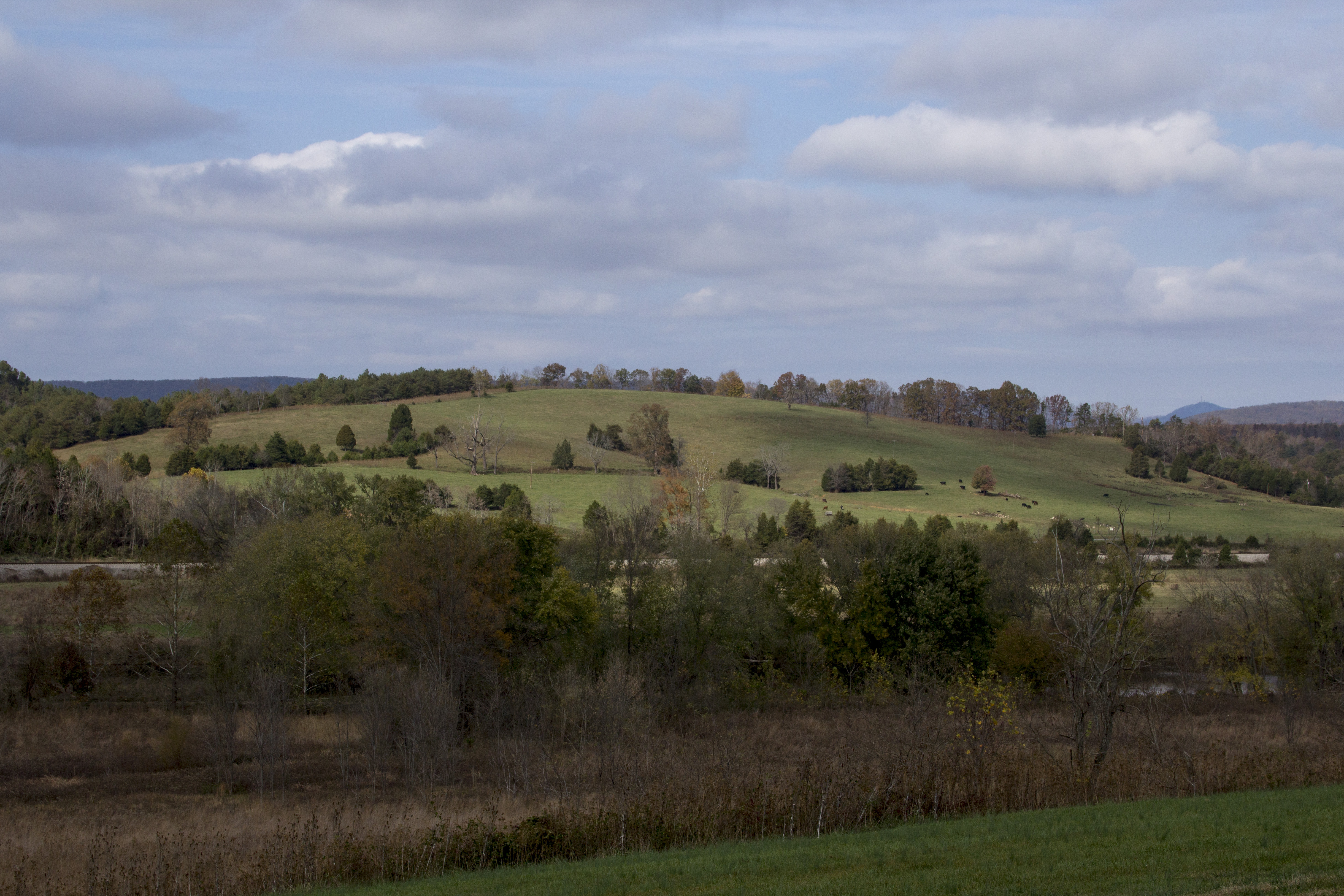
No Bull View
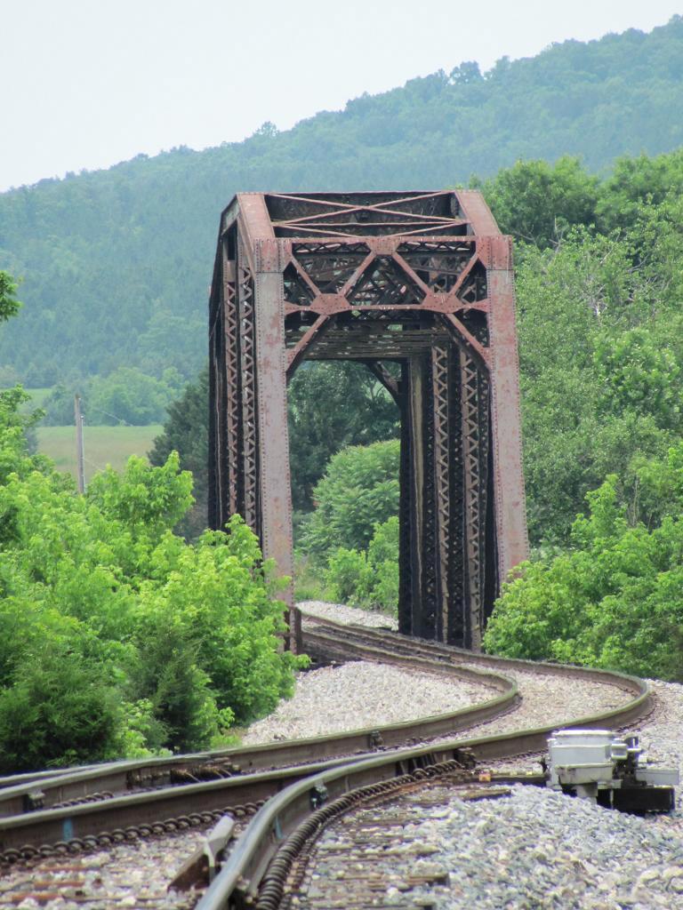
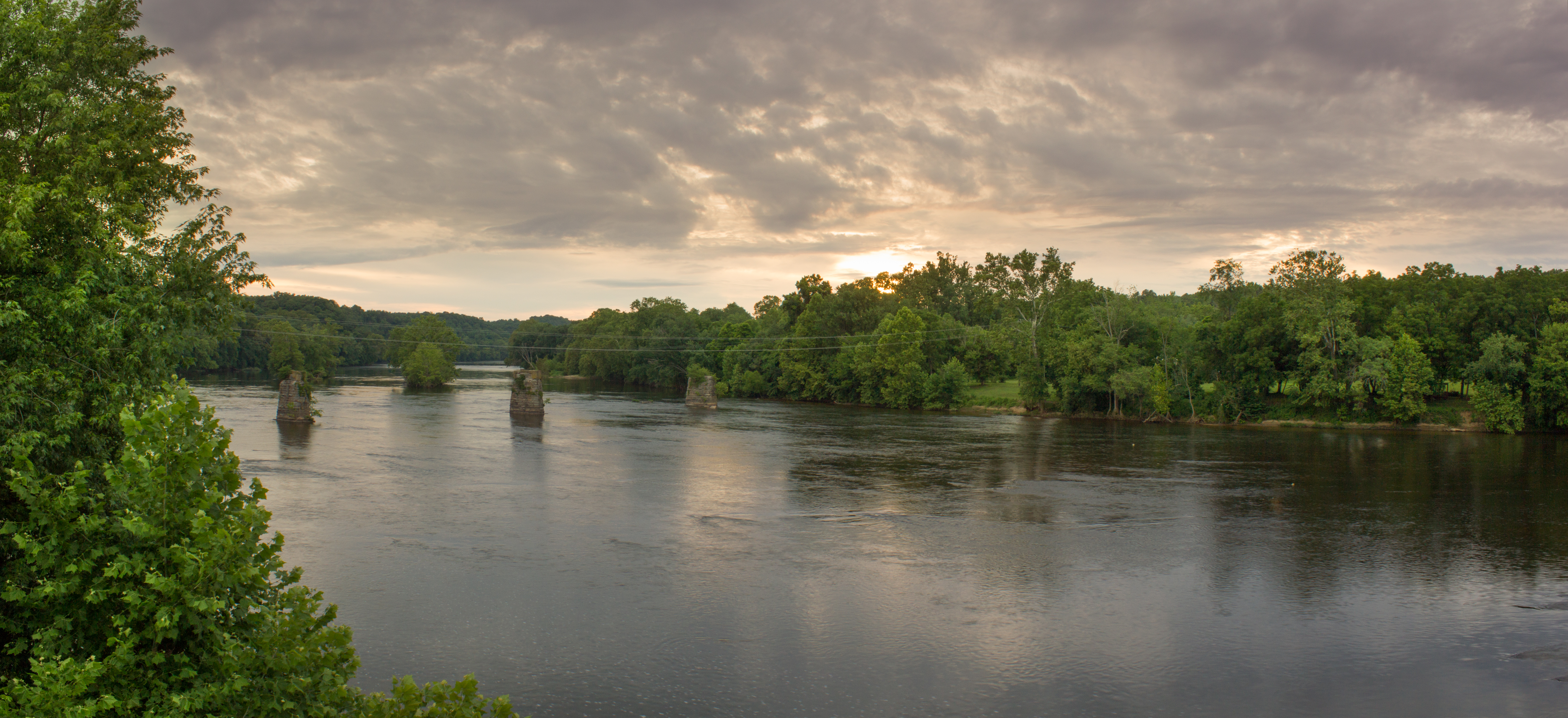
Railroad Bridge, Norwood
2013-10-06 13.38.21

Fall Foliage - James River State Park, Gladstone, VA
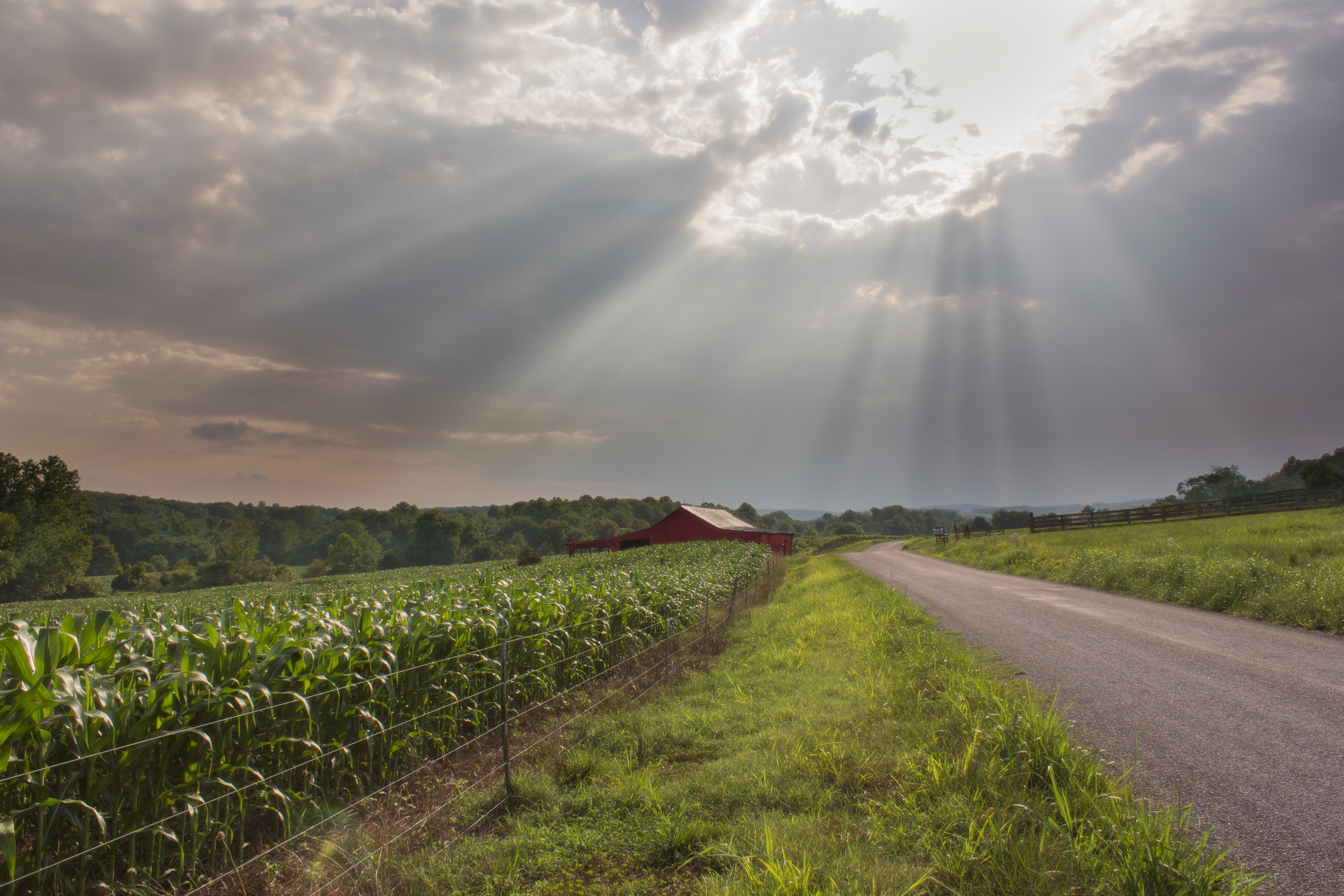
Dolan's Farm at Norwood

Oak Ridge Estate sunset
Crossing the James at Bent Creek
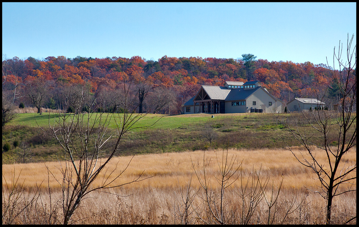
Visitor's Center @ James River State Park Nov 11
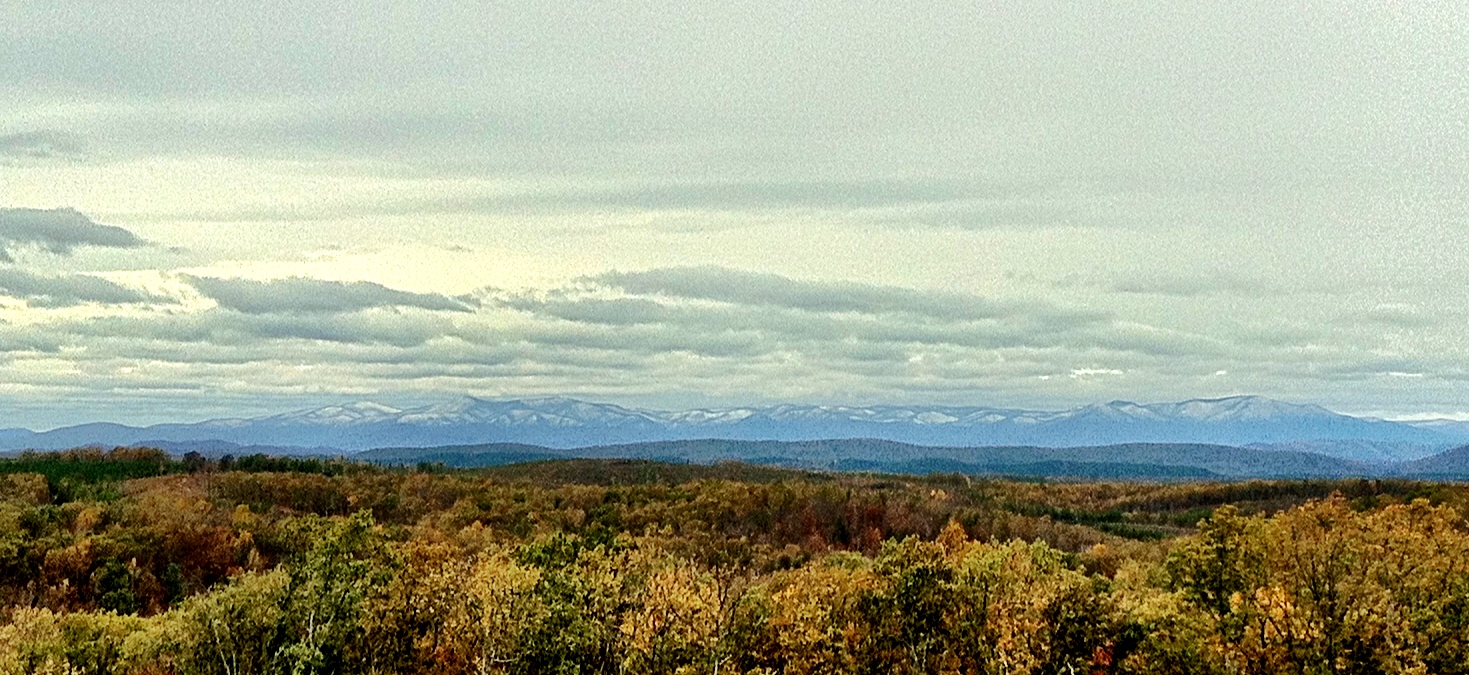
There's Snow On Them Hills
The James River

Lockin 2013

The James River at James River State Park

James River State Park

James River State Park
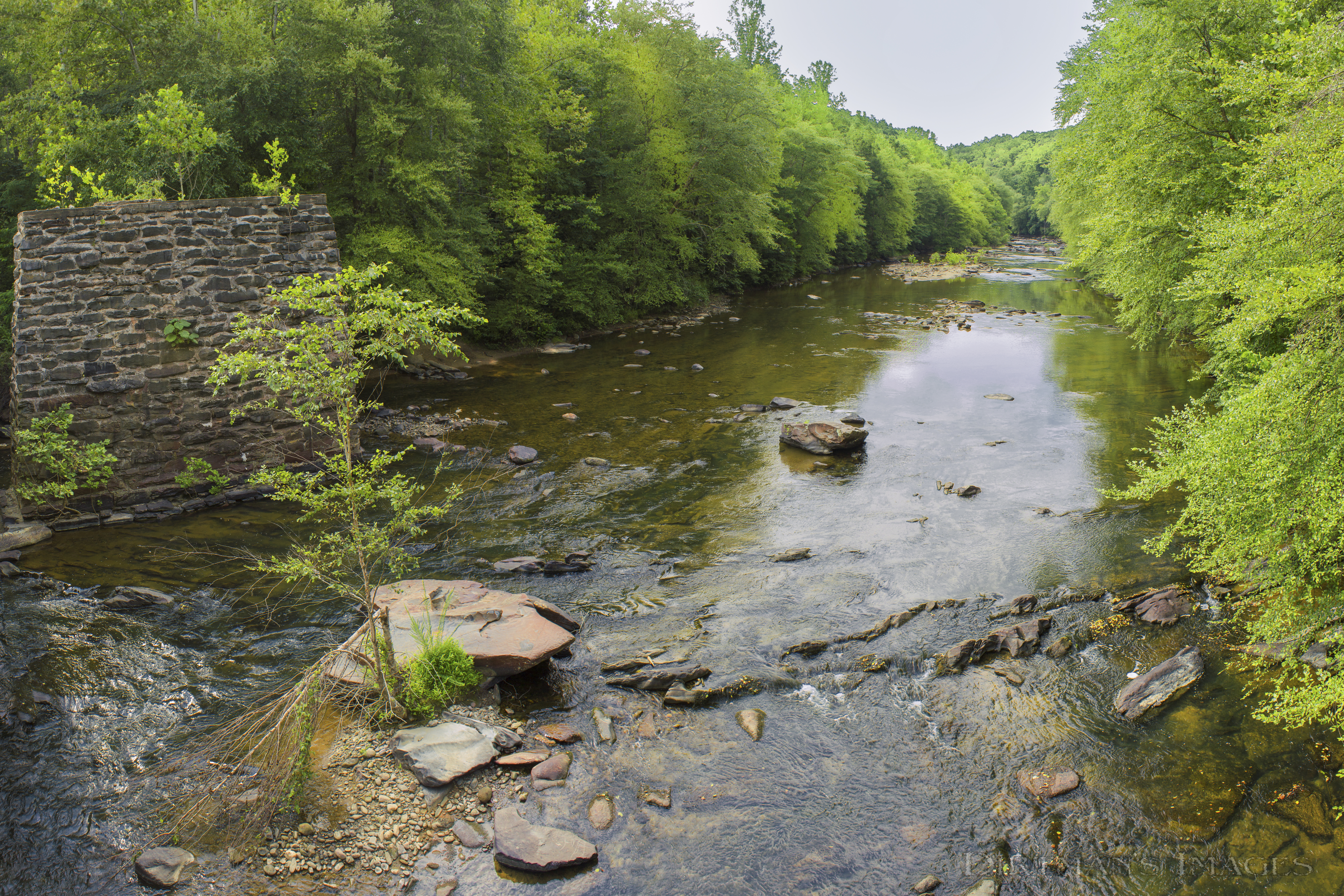
Tye River at Falling Creek
James River State Park
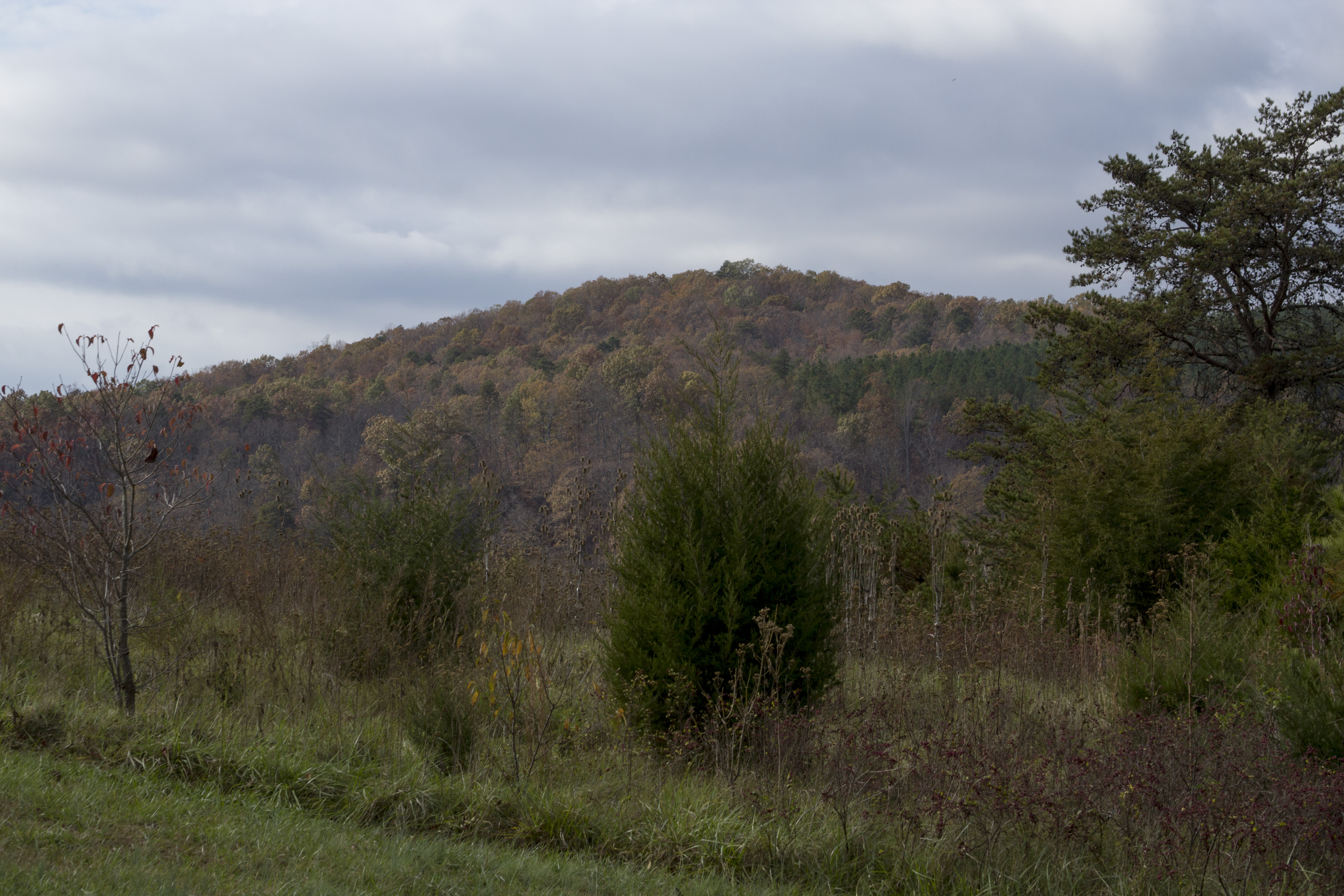
Land across the River

Flowing water at Fortune's Cove
Topographic Map of Lovingston, VA, USA
Find elevation by address:

Places in Lovingston, VA, USA:
Places near Lovingston, VA, USA:
Arrington
1510 Diggs Mountain Rd
2300 Oak Ridge Rd
1500 Diggs Mountain Rd
708 Snow Hill Ln
Shipman
75 Lentz Ln
370 Bowling Dr
James River State Park
Nelson County
Nelson County
Lovingston
Thomas Nelson Highway
Thomas Nelson Highway
1950 State Rte 722
2028 N Amherst Hwy
1884 Fortune's Cove Ln
1464 Roses Mill Rd
Roseland
473 Gunter Hollow Ln
Recent Searches:
- Elevation of Corso Fratelli Cairoli, 35, Macerata MC, Italy
- Elevation of Tallevast Rd, Sarasota, FL, USA
- Elevation of 4th St E, Sonoma, CA, USA
- Elevation of Black Hollow Rd, Pennsdale, PA, USA
- Elevation of Oakland Ave, Williamsport, PA, USA
- Elevation of Pedrógão Grande, Portugal
- Elevation of Klee Dr, Martinsburg, WV, USA
- Elevation of Via Roma, Pieranica CR, Italy
- Elevation of Tavkvetili Mountain, Georgia
- Elevation of Hartfords Bluff Cir, Mt Pleasant, SC, USA