Elevation of Roseland, VA, USA
Location: United States > Virginia > Nelson County > Massies Mill >
Longitude: -78.975857
Latitude: 37.7476405
Elevation: 200m / 656feet
Barometric Pressure: 99KPa
Elevation Map:
Satellite Map:
Related Photos:

View from Spy Rock

Milky Way
Appalachian Spring
why?
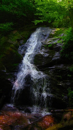
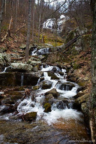
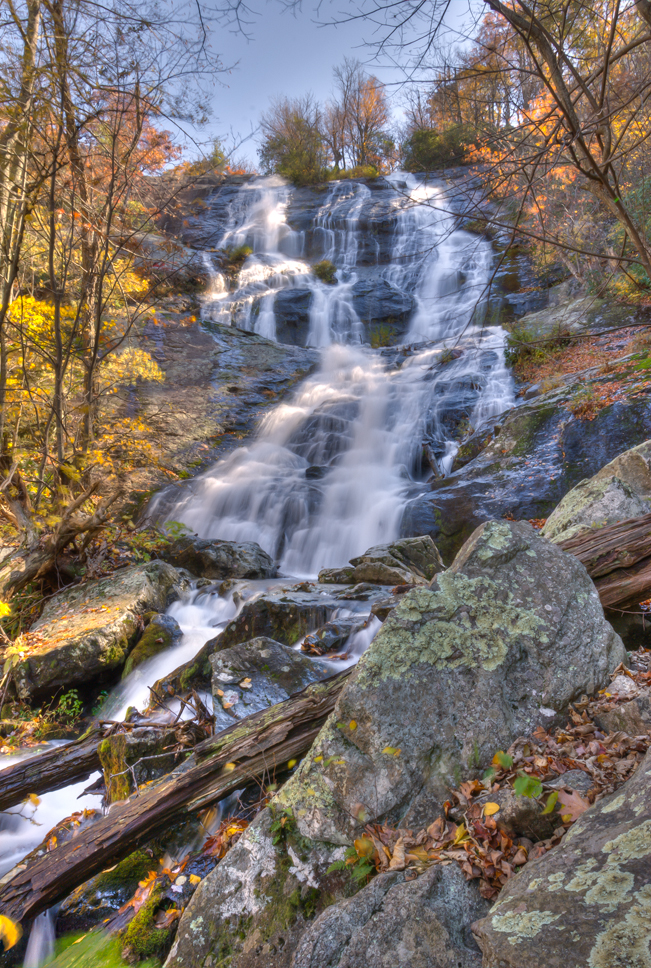
Crabtree Falls
crabtree trail view
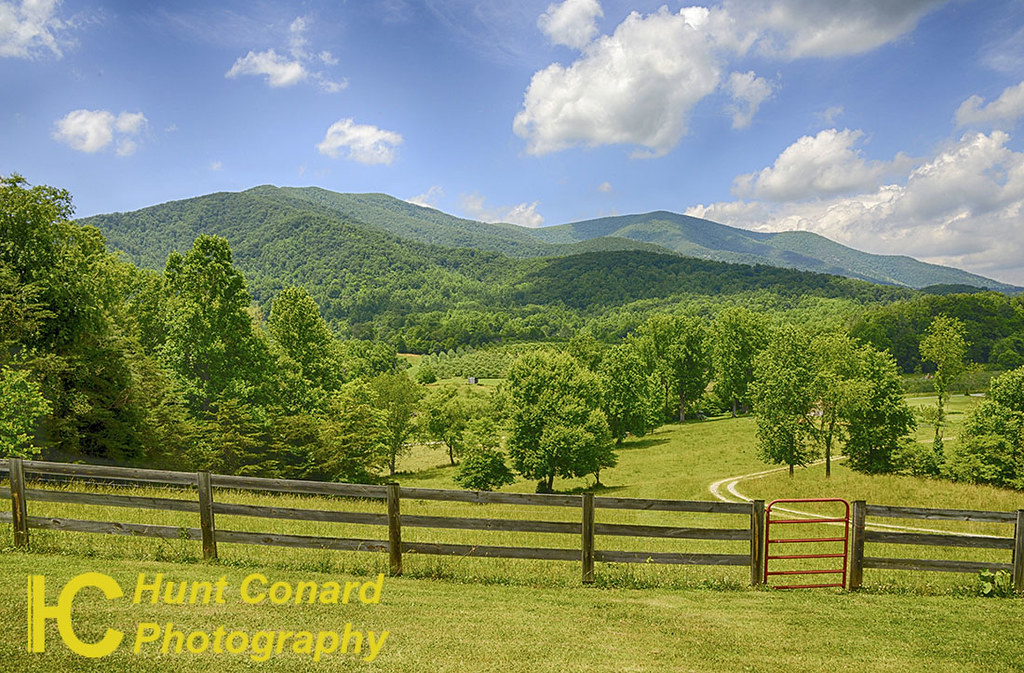
Roseland, VA
a blanket knitted from clouds

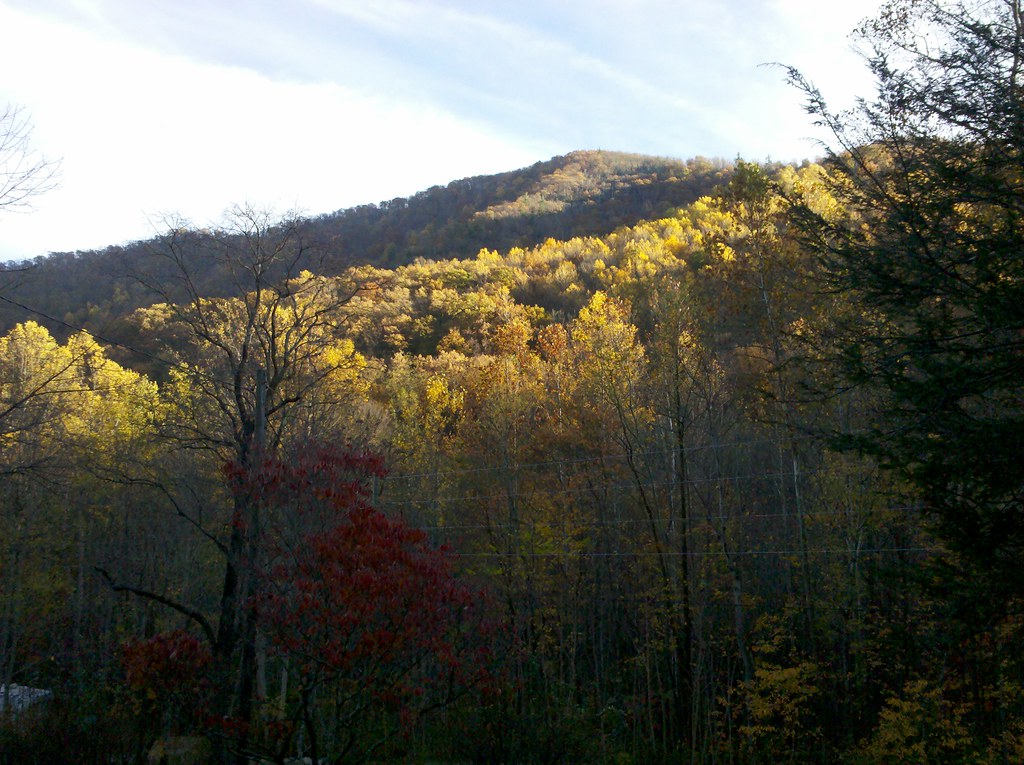
Fall view of the back "yard"
The View
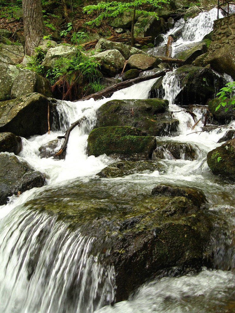
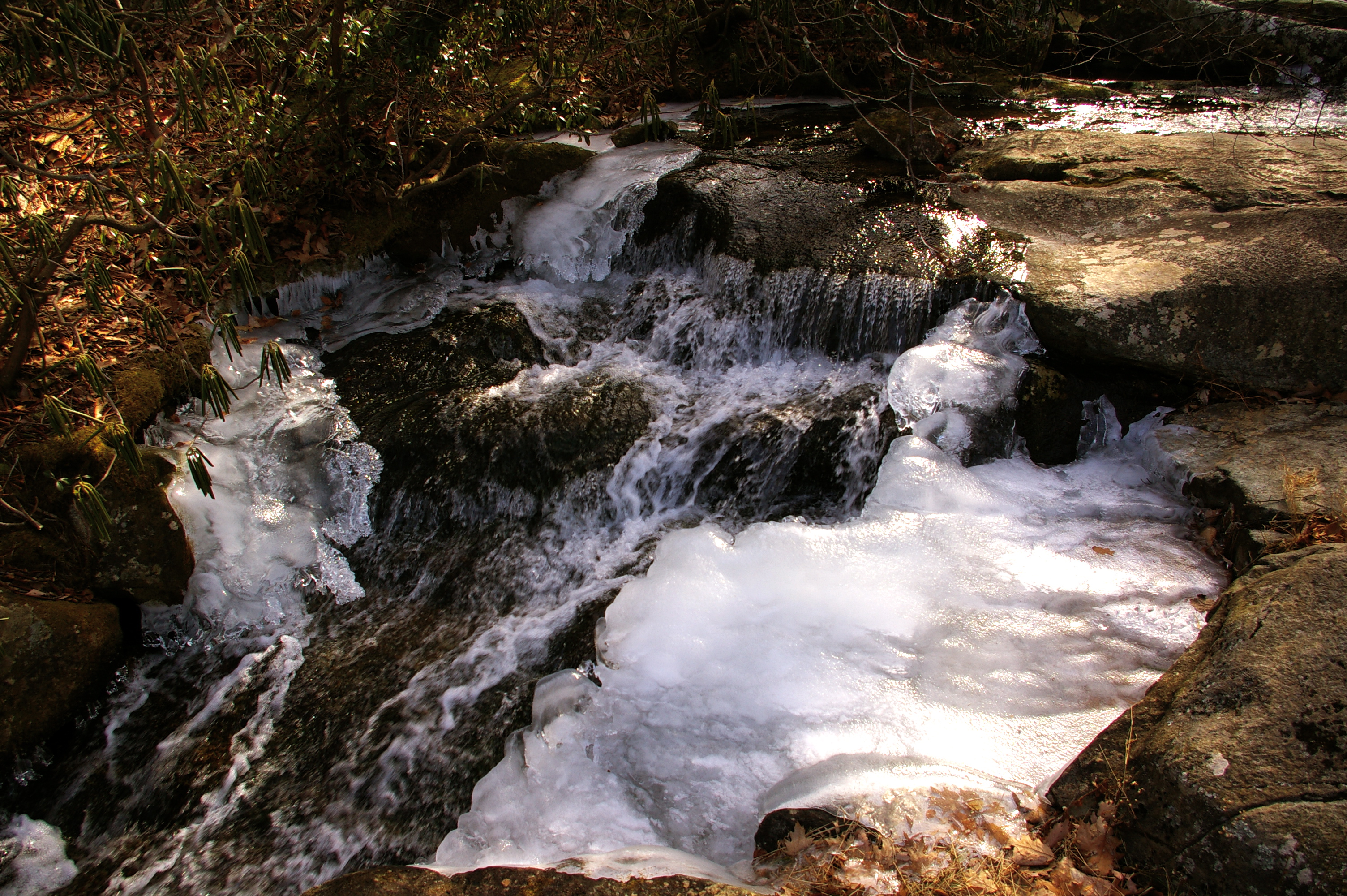
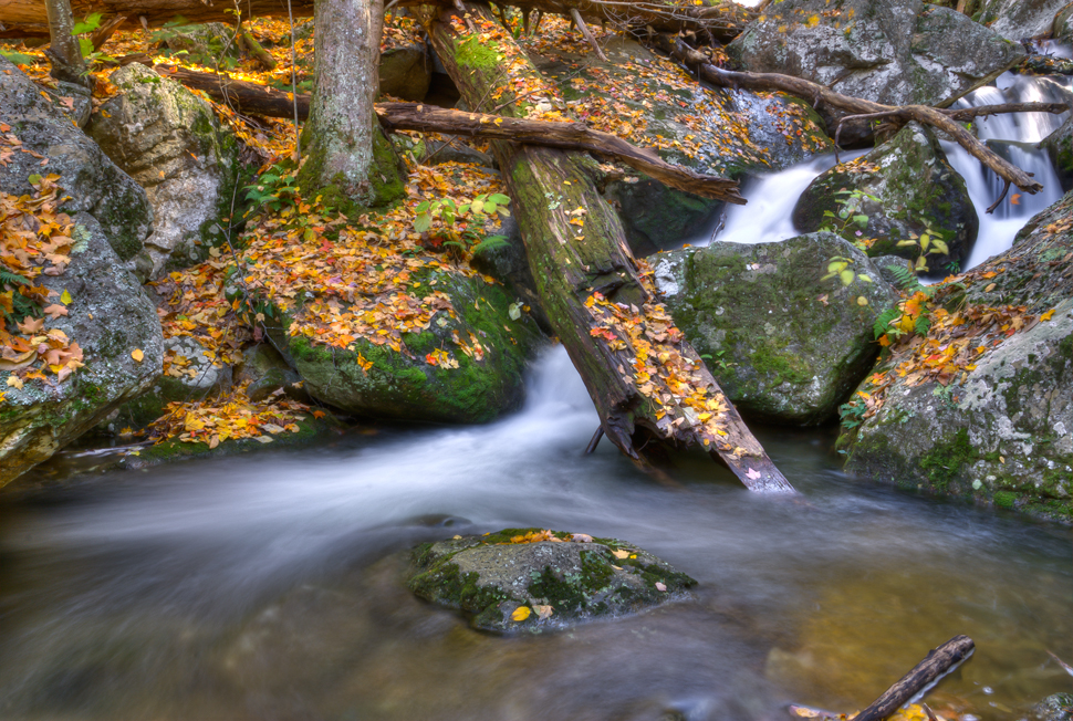
Lower Rocks on Crabtree Falls

Stand downcreek
Rte.56, Shenadoah National Park, Va,: Oct. 12

Spy Rock

The view from the top, Crabtree Falls, VA
No Bull View
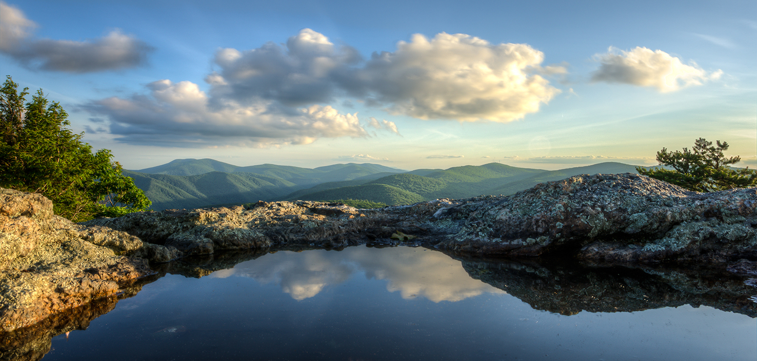
Panorama view from Hanging Rock
Spy Rock

A Mouses Point of View
View from the top

Pharsalia Mist
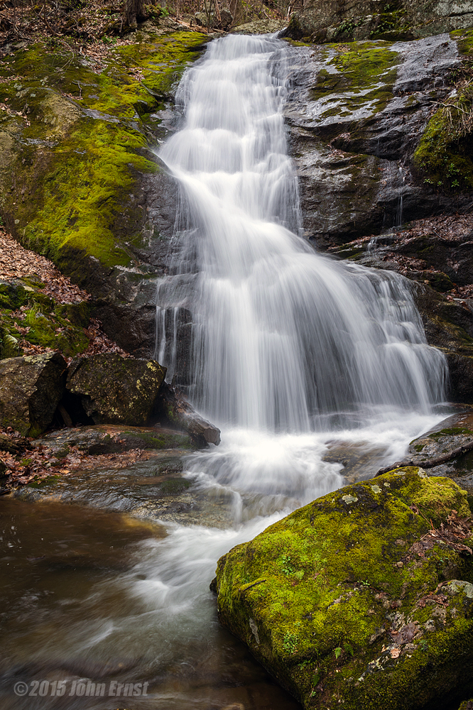
Crabtree Falls
Puddle Shot

Crabtree Falls VA - 2014-04-16 (254)

Crabtree Falls VA - 2014-04-16 (91)
crabtree falls

Crabtree Slow

Crabtree Falls VA - 2014-04-16 (235)

Crabtree Falls VA - 2014-04-16 (107)

Crabtree Falls VA - 2014-04-16 (15)
IMGP2070.JPG
crabtree falls in the spring...

Crabtree Falls VA - 2014-04-16 (175)

Crabtree Falls VA - 2014-04-16 (48)
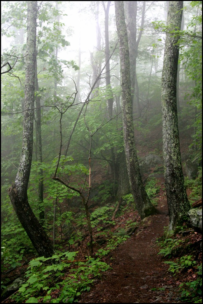
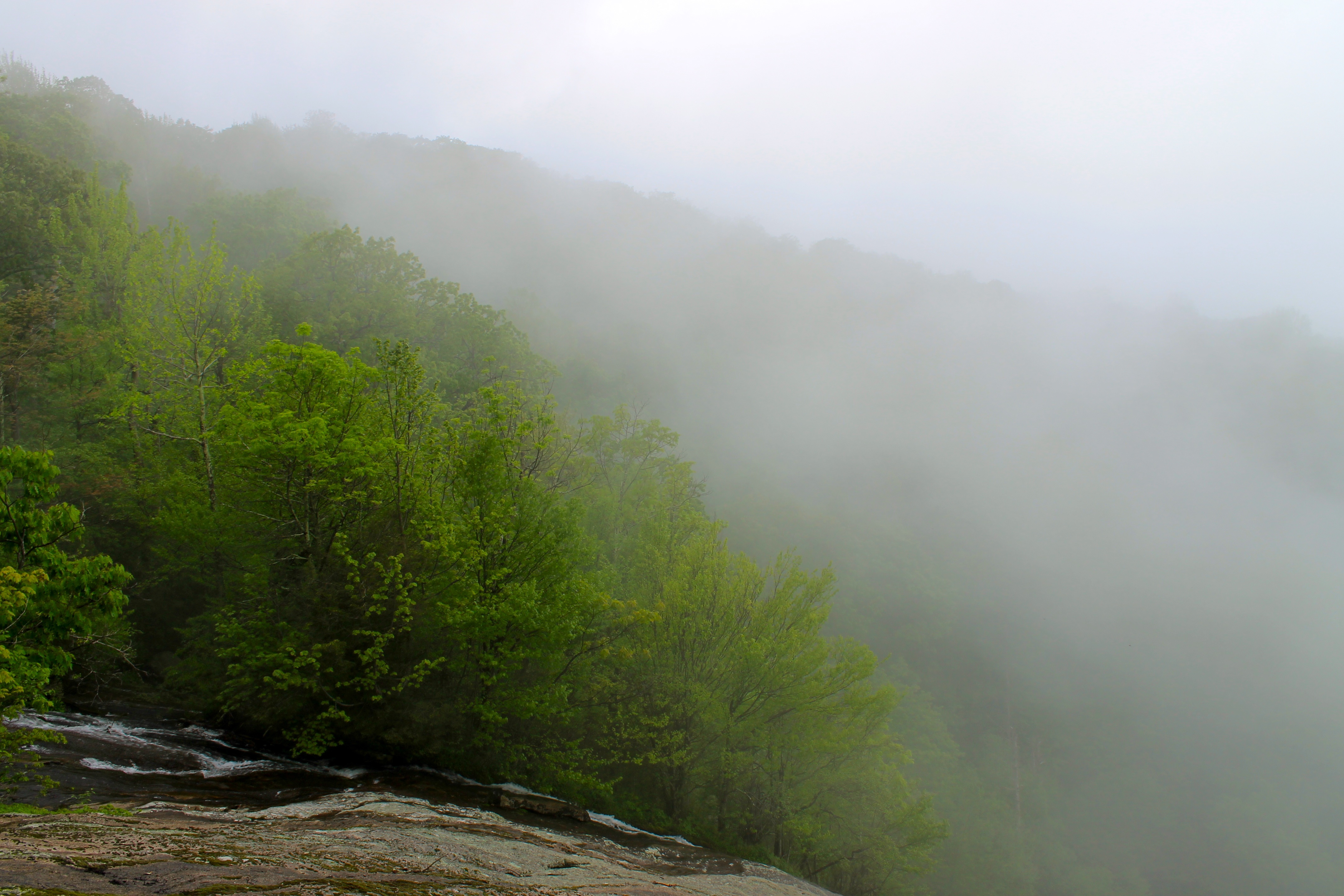
Crabtree Falls Trail in the Fog
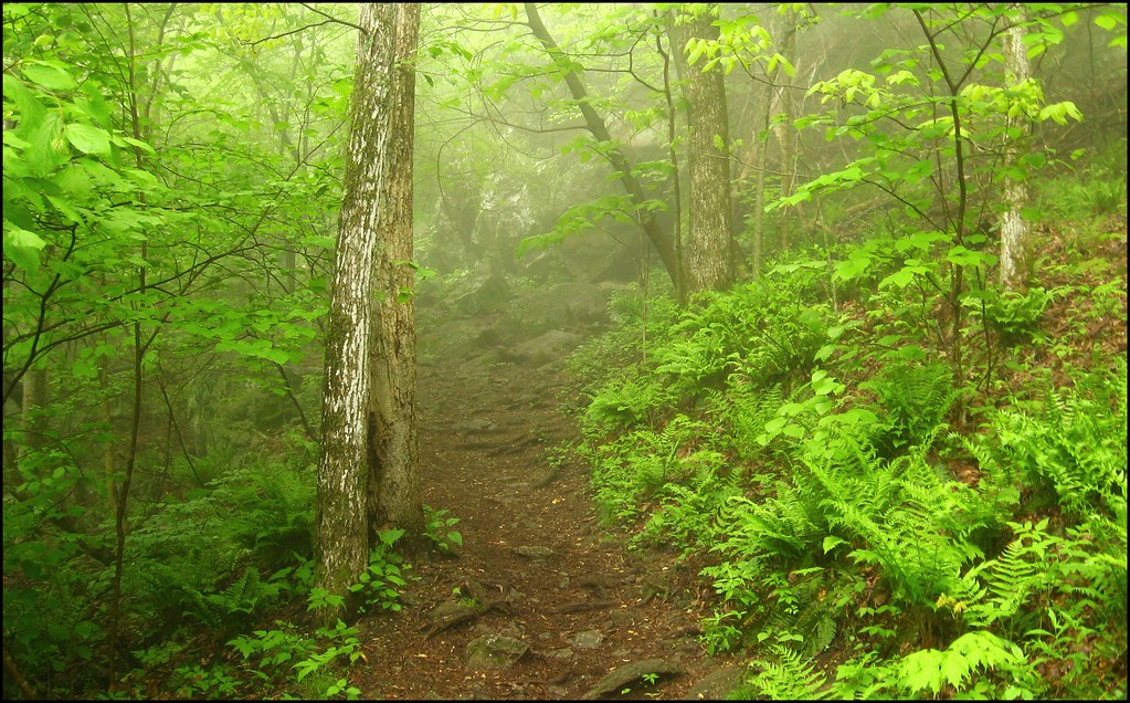
Foggy Trail up Crabtree Falls

Crabtree Falls VA - 2014-04-16 (5)
Highest Waterfall of the Eastern US

Despite the Season
Crabtree Falls

Flowing water at Fortune's Cove
Topographic Map of Roseland, VA, USA
Find elevation by address:

Places in Roseland, VA, USA:
Places near Roseland, VA, USA:
473 Gunter Hollow Ln
2857 Dark Hollow Rd
Massies Mill
Pigeon Hill Rd, Roseland, VA, USA
447 Persimmon Hill Dr
1464 Roses Mill Rd
370 Bowling Dr
2500 Level Green Rd
Piney River
3981 Lowesville Rd
3981 Lowesville Rd
3981 Lowesville Rd
3981 Lowesville Rd
1500 Diggs Mountain Rd
1884 Fortune's Cove Ln
Nelson County
Nelson County
1510 Diggs Mountain Rd
Arrington
Thomas Nelson Highway
Recent Searches:
- Elevation of Corso Fratelli Cairoli, 35, Macerata MC, Italy
- Elevation of Tallevast Rd, Sarasota, FL, USA
- Elevation of 4th St E, Sonoma, CA, USA
- Elevation of Black Hollow Rd, Pennsdale, PA, USA
- Elevation of Oakland Ave, Williamsport, PA, USA
- Elevation of Pedrógão Grande, Portugal
- Elevation of Klee Dr, Martinsburg, WV, USA
- Elevation of Via Roma, Pieranica CR, Italy
- Elevation of Tavkvetili Mountain, Georgia
- Elevation of Hartfords Bluff Cir, Mt Pleasant, SC, USA