Elevation of Nelson County, VA, USA

Location: United States > Virginia >

Longitude: -78.883554

Latitude: 37.7478599

Elevation: 222m / 728feet

Barometric Pressure: 99KPa

Elevation Map:

elevation map of Nelson County, VA, USA

Satellite Map:

Satellite map of Nelson County, VA, USA
Related Photos:

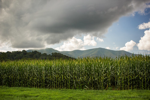
mountains landscapes va roseland hdrversion
Roseland, VA
rte56shenadoahnationalparkvaoct12
Rte.56, Shenadoah National Park, Va,: Oct. 12
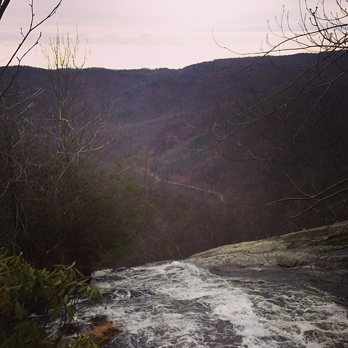
square squareformat mayfair iphoneography instagramapp uploaded:by=instagram foursquare:venue=4d854d32e83fa143b40b78a1
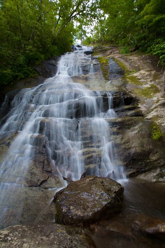
The view from the top, Crabtree Falls, VA
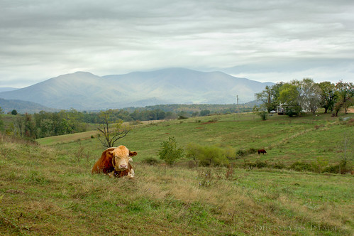
virginia unitedstates lovingston
No Bull View
panorama scouts jun hangingrock 2007 troop737 threeridges
Panorama view from Hanging Rock
cat carpet
A Mouses Point of View
virginia unitedstates roseland
Pharsalia Mist
Fall view of the back "yard"
family reunion virginia uploaded:by=flickrmobile flickriosapp:filter=nofilter
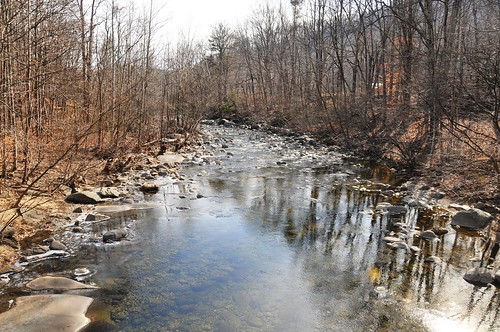
View from Farrar Bridge Road
bridge river virginia trail va appalachian tye
View east from Tye River swinging bridge
park summer river james state wildlife deer viewing
James River
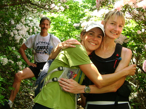
Training Runs - June 2009
trees brown green history silver virginia rust stones 19thcentury waterfalls rivers 1900 campbell appalachia blueridgemountains 18thcentury woodson 1845 1794 nationalregisterofhistoricplaces watermills nelsoncounty utatafeature woodsonsmill lowesville littlepineyriver guilfordcampbell julianwoodson
Woodson's Mill, Piney River, Virginia
park summer river james state wildlife deer viewing
James River
Three Ridges - June 2009
Training Runs - June 2009
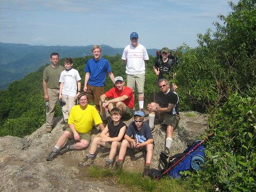
brandons backpacking va scouts grahame chucke jun seh 2007 chrisl johnh toml ryanb boriss steveh daveyb jph troop737 threeridges jabberpad
View from Hanging Rock
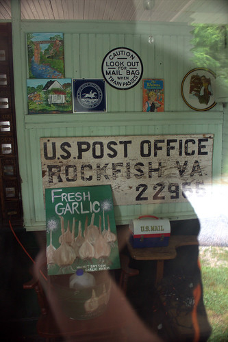
virginia postoffice schuyler rockfish 9920rockfishriverrd
IMG_3695.CR2
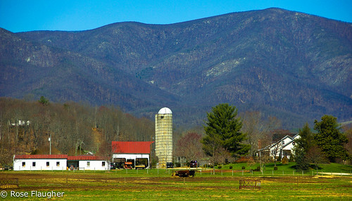
landscape farmland blueridgemountains nelsoncounty
A Piece of Heaven
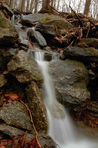
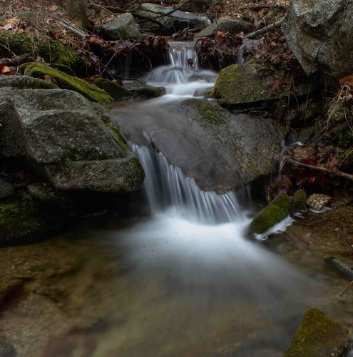
Flowing water at Fortune's Cove
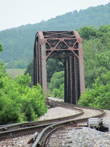
county railroad bridge mountains green landscape virginia rust iron natural steel tracks railway nelson hills vista manmade norwood
Railroad Bridge, Norwood
20140204_0023.v01
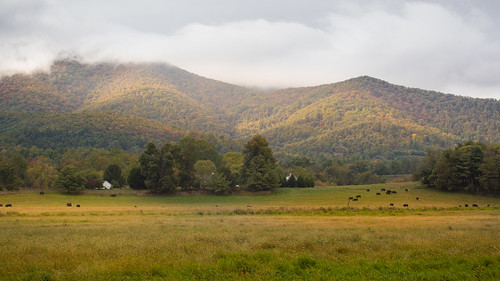
virginia unitedstates roseland
Fields of Gold under Mountains of Magesty
virginia unitedstates lovingston
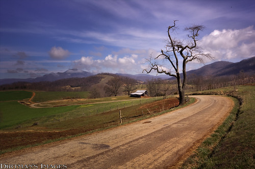
Spring Returns to the Mountains
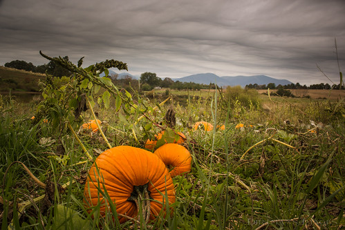
virginia unitedstates roseland
In Search of the Great Pumpkin
2013-10-06 13.36.15
Crab Tree Fals
wintergreen
Wintergreen-20120429-011
statepark fall landscape virginia unitedstates foliage gladstone jamesriver jamesriverstatepark virginiastateparks d5000 lovingston pauldiming
Fall Foliage - James River State Park, Gladstone, VA
Freshwater Cove Panoramic
virginia unitedstates wingina
Dolan's Farm at Norwood
wintergreen
Wintergreen-20120429-010
Oak Ridge Estate sunset
square squareformat iphoneography instagramapp uploaded:by=instagram
On fall foliage assignment. Crabtree Falls > The Priest > Spy Rock 17.3 mile loop on the AT. Sleeping at The Priest ridge tonight #hiregfp #photographer #editorial #fall #virginia #hiker #appalachiantrail #at #lowepro #photosport #30L
virginia unitedstates nellysford
_DSC3768-Edit.jpg
rte56shenadoahnationalparkvaoct12
Rte.56, Shenadoah National Park, Va,: Oct. 12