Elevation of Bowling Dr, Arrington, VA, USA
Location: United States > Virginia > Arrington >
Longitude: -78.948895
Latitude: 37.7030174
Elevation: 247m / 810feet
Barometric Pressure: 98KPa
Elevation Map:
Satellite Map:
Related Photos:
Mt. View Tea Room, along Rt. 56, Nelson County
roadside relics - old Lawhorne Grocery and Hilltop View Motel

Pharsalia Mist
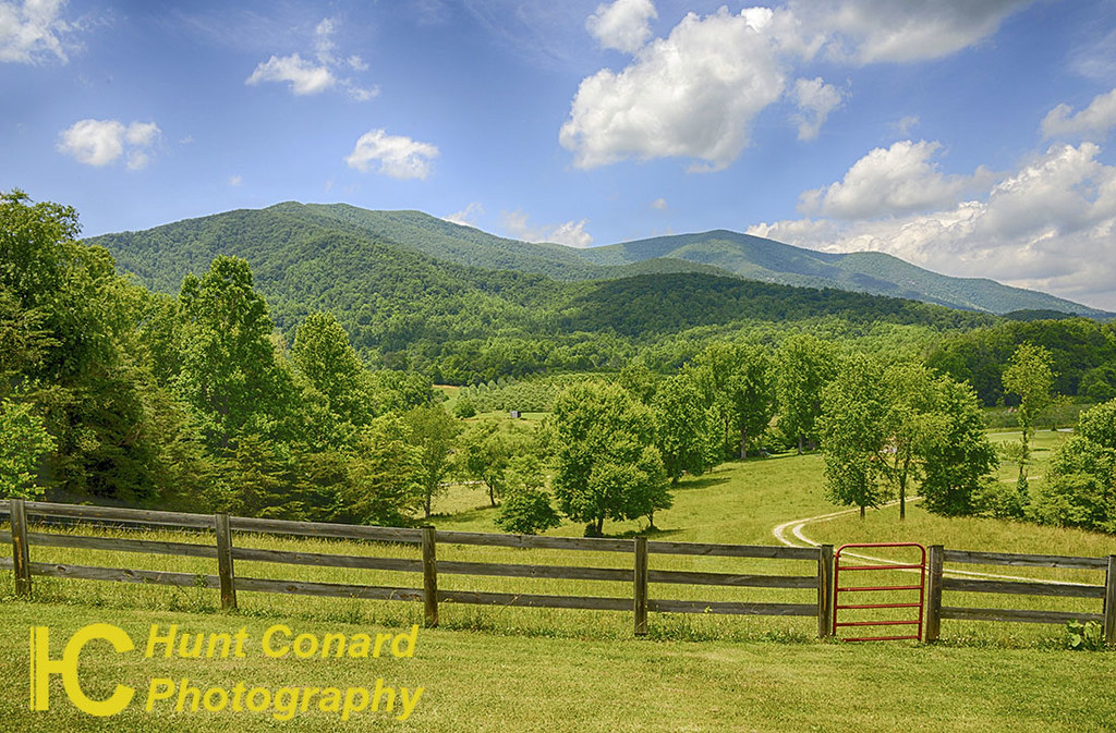
panoramic view at Fairview
why?
Roseland, VA
2017 Think Outside Photo Contest entry
2017 Think Outside Photo Contest entry

Barrel House View

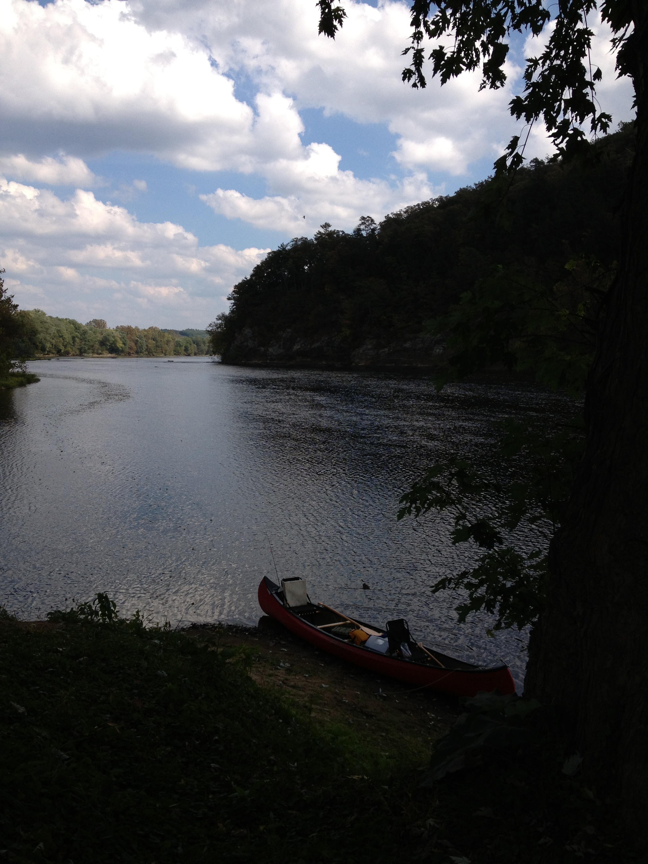
James River
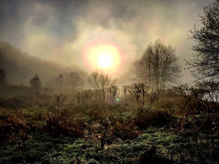
Misty Mountain Morning
Spy Rock
Flippin’s Bend
Rocky Run's Haiku
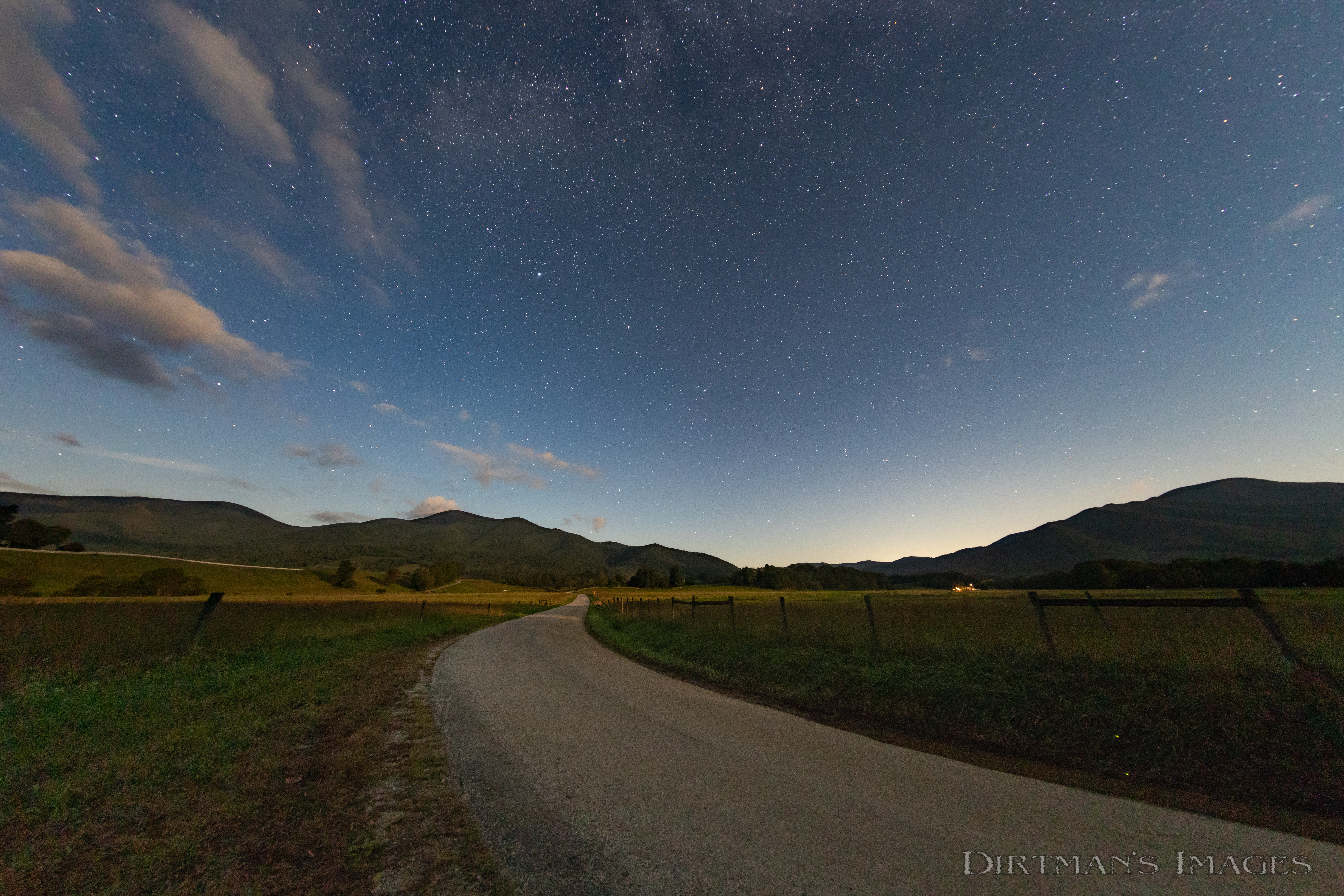
Moonlight on Flippin's Bottom
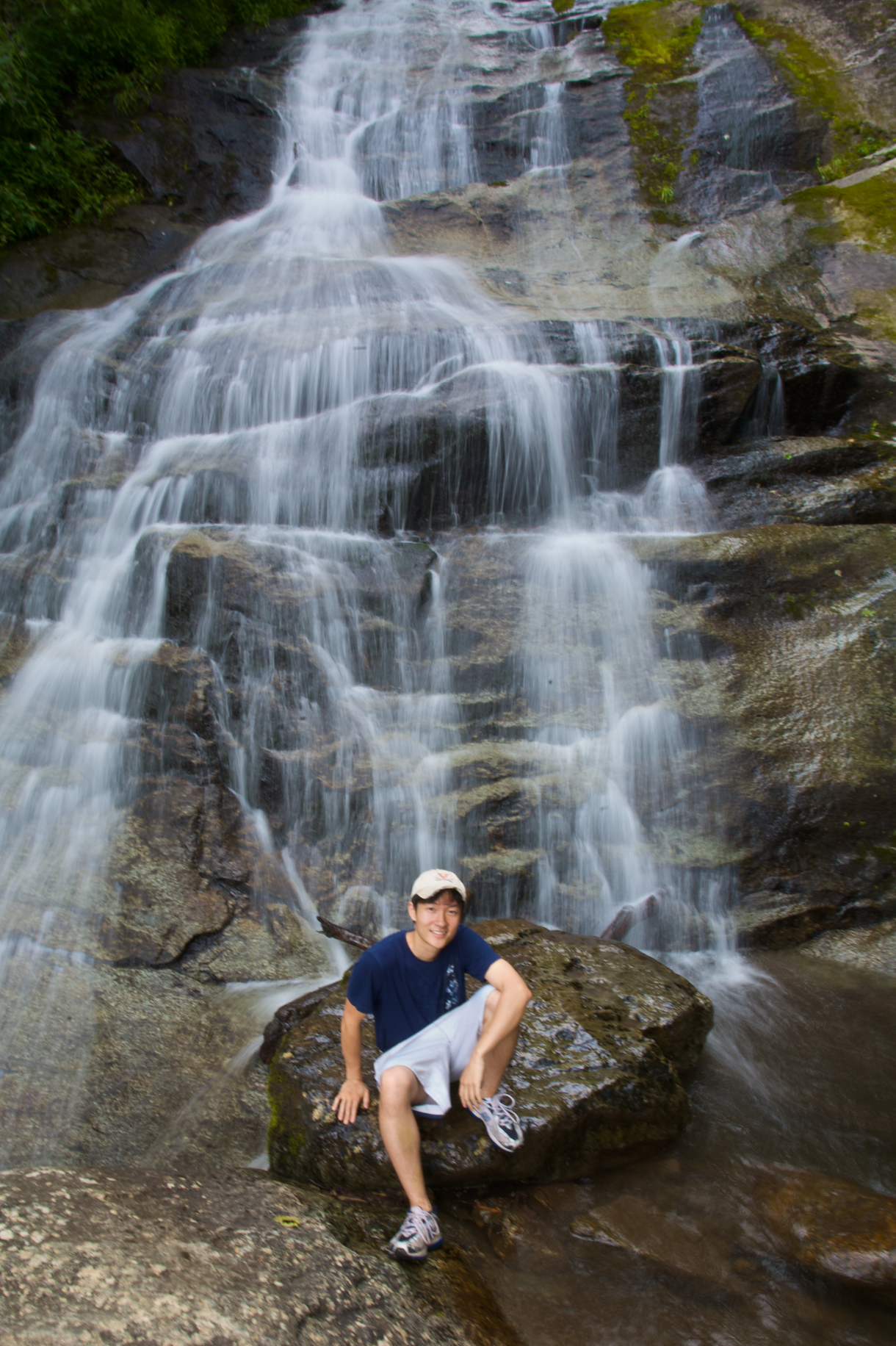
Crab Tree Falls
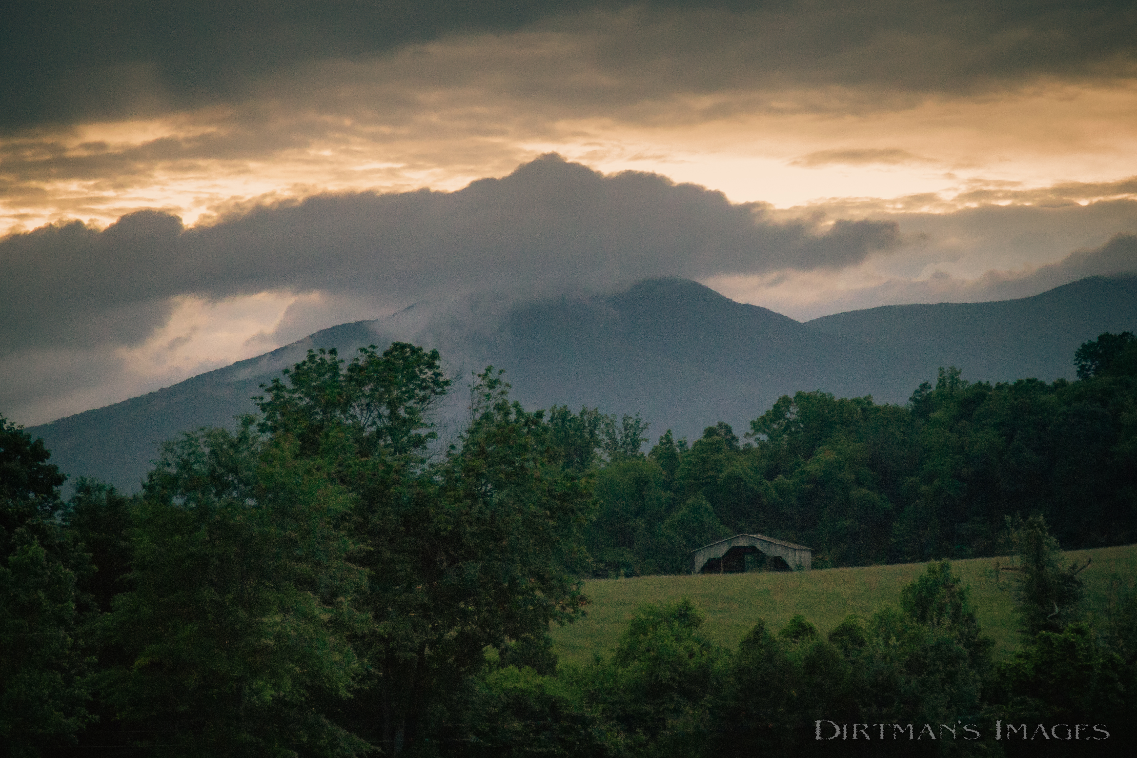
Roseland at Dusk
Grapes near the Blue Ridge

Fall Foliage - James River State Park, Gladstone, VA
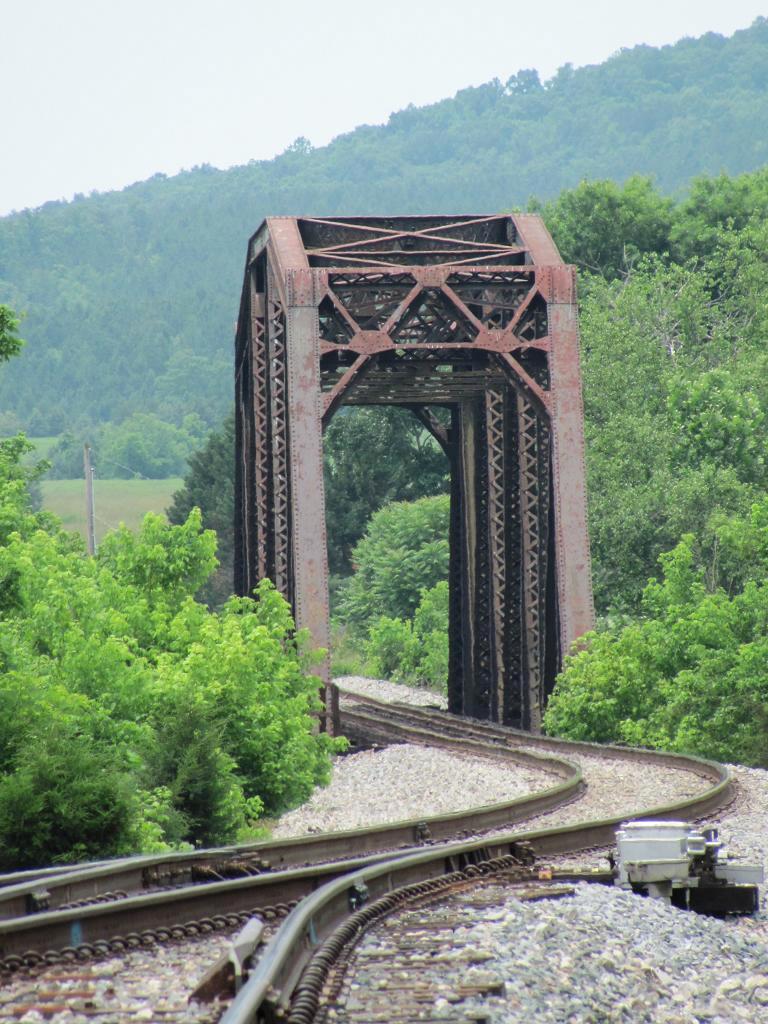
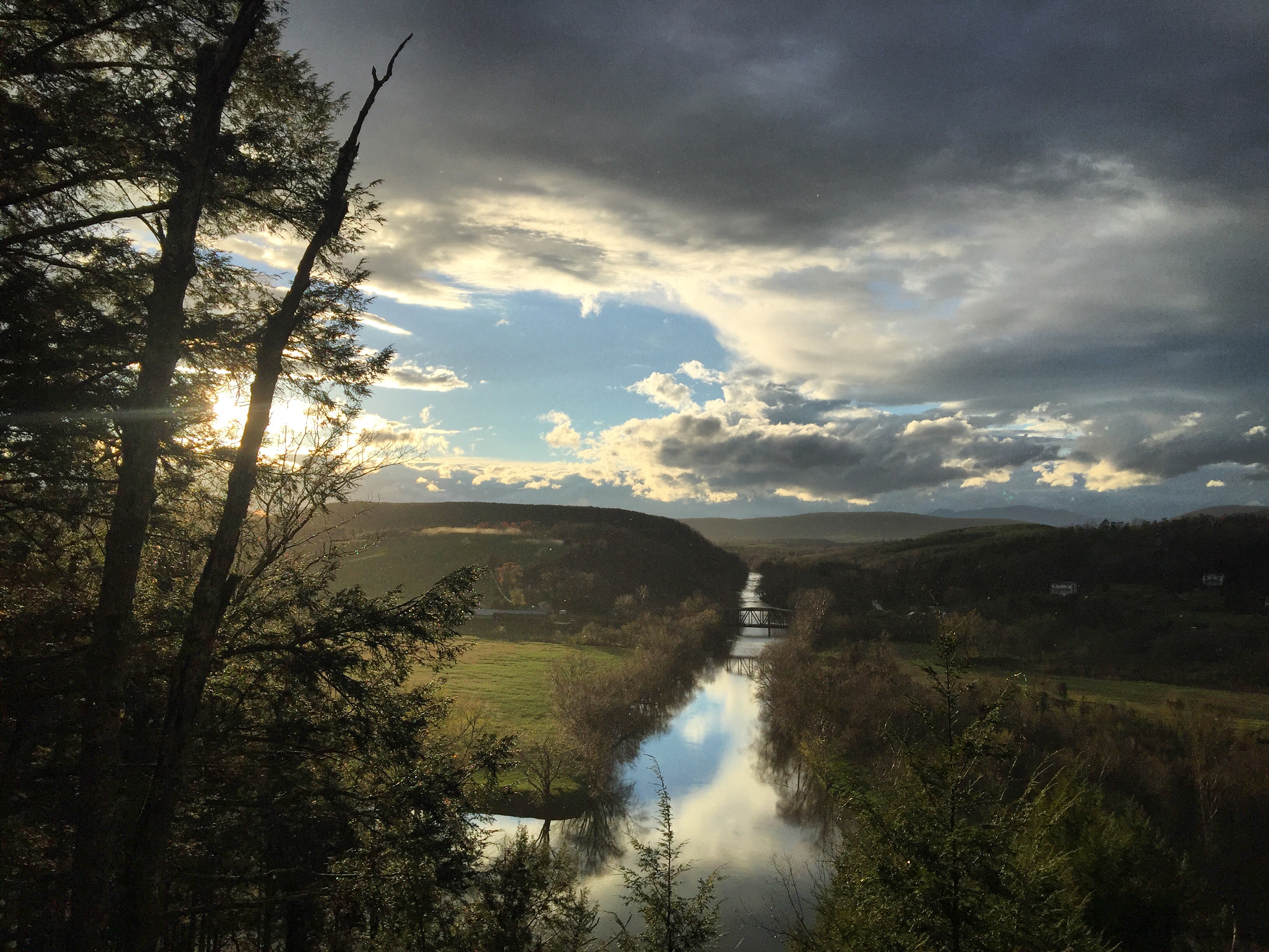
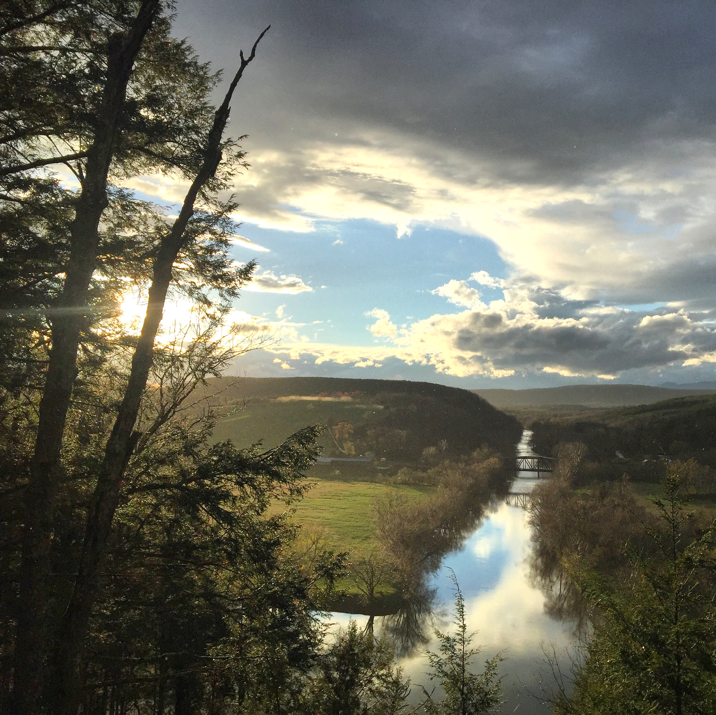
Railroad Bridge, Norwood

Flowing water at Fortune's Cove
Freshwater Cove Panoramic
Why Don't We Do It in the Road?
20140204_0023.v01
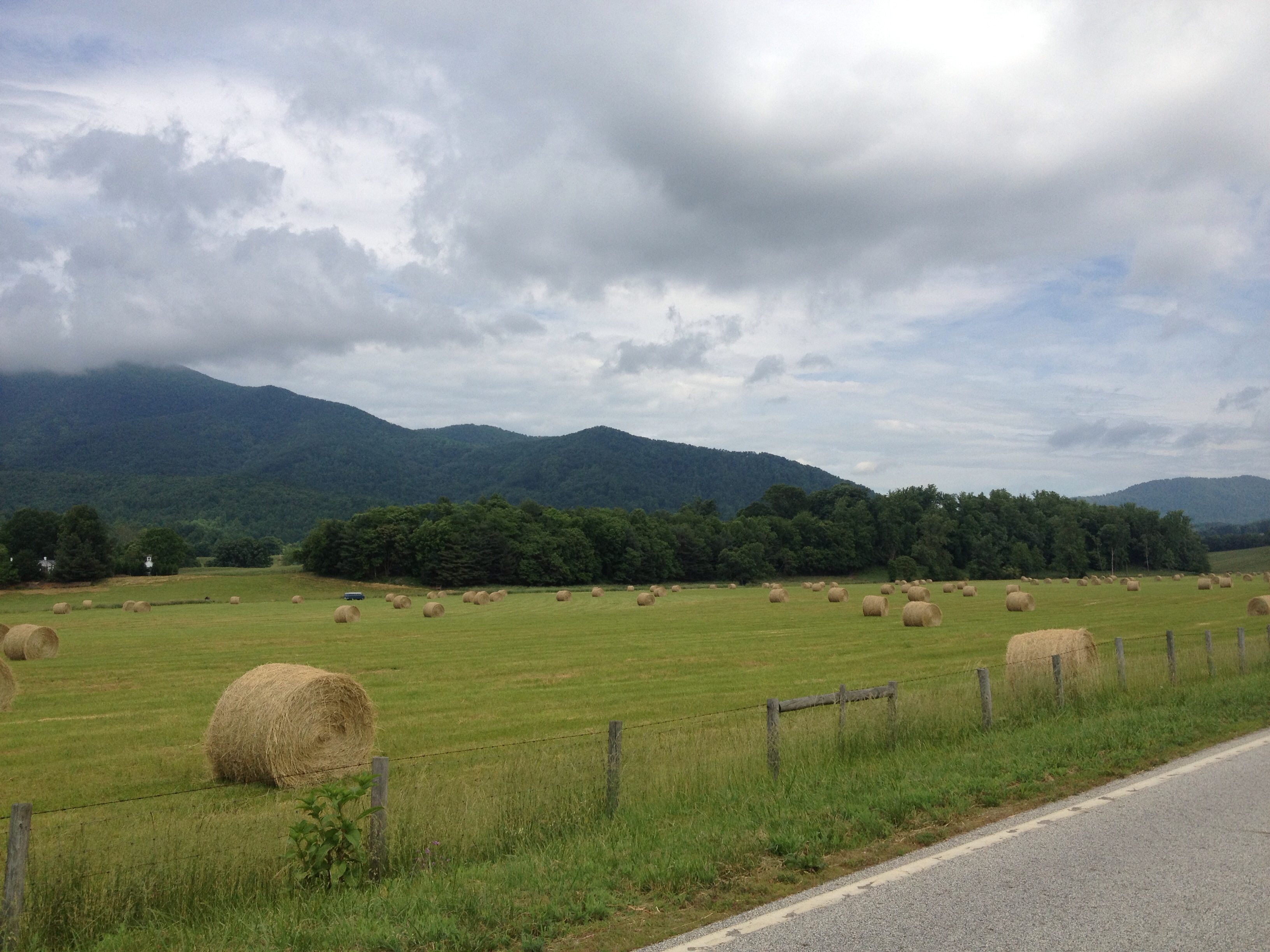
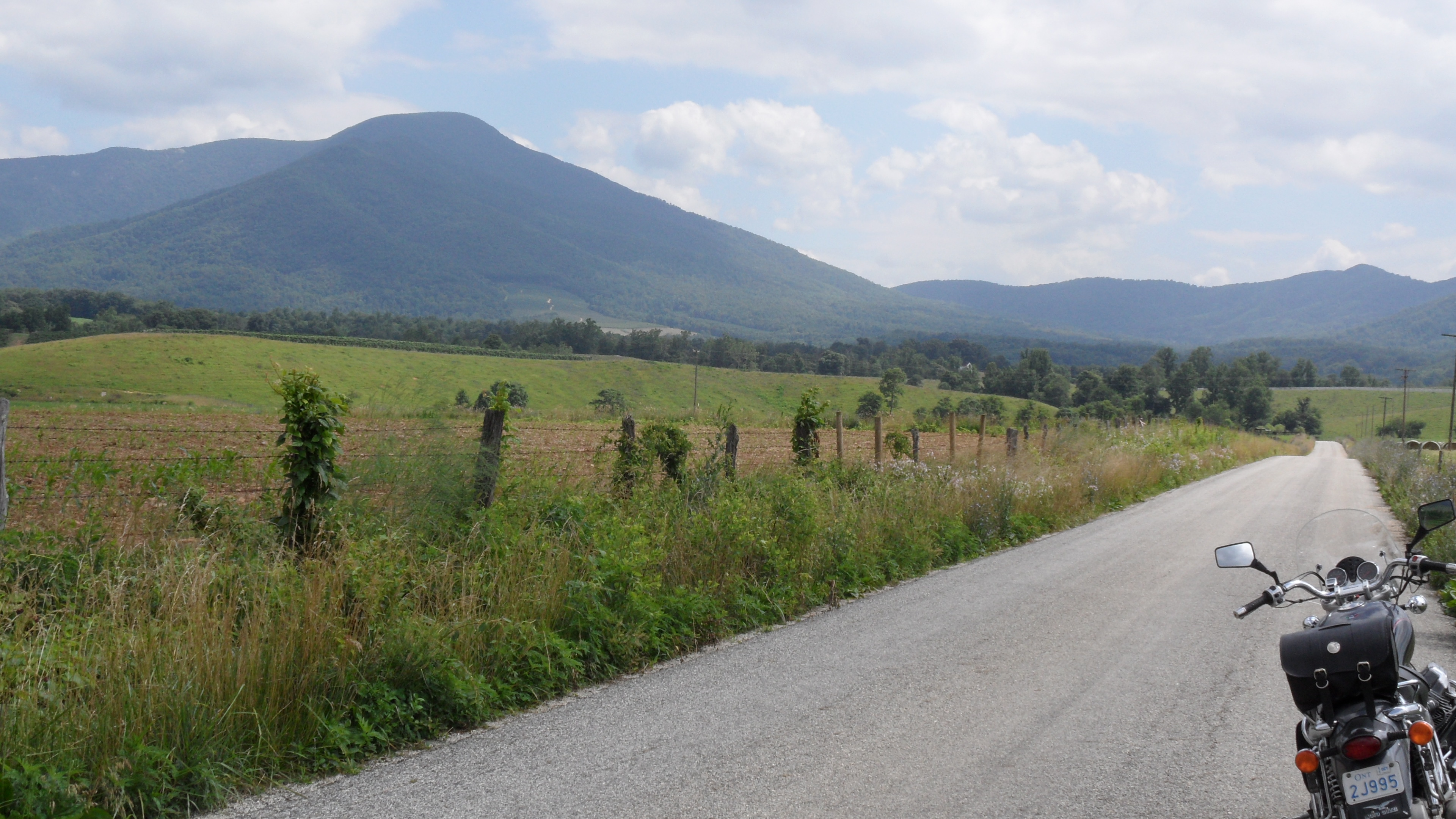
Fields of Gold under Mountains of Magesty
2013-10-06 13.38.21
Topographic Map of Bowling Dr, Arrington, VA, USA
Find elevation by address:

Places near Bowling Dr, Arrington, VA, USA:
1464 Roses Mill Rd
1500 Diggs Mountain Rd
Arrington
Roseland
473 Gunter Hollow Ln
1510 Diggs Mountain Rd
2857 Dark Hollow Rd
Piney River
Lovingston
Nelson County
Nelson County
2300 Oak Ridge Rd
2028 N Amherst Hwy
Pigeon Hill Rd, Roseland, VA, USA
Massies Mill
Thomas Nelson Highway
Thomas Nelson Highway
Lovingston
447 Persimmon Hill Dr
1884 Fortune's Cove Ln
Recent Searches:
- Elevation of Corso Fratelli Cairoli, 35, Macerata MC, Italy
- Elevation of Tallevast Rd, Sarasota, FL, USA
- Elevation of 4th St E, Sonoma, CA, USA
- Elevation of Black Hollow Rd, Pennsdale, PA, USA
- Elevation of Oakland Ave, Williamsport, PA, USA
- Elevation of Pedrógão Grande, Portugal
- Elevation of Klee Dr, Martinsburg, WV, USA
- Elevation of Via Roma, Pieranica CR, Italy
- Elevation of Tavkvetili Mountain, Georgia
- Elevation of Hartfords Bluff Cir, Mt Pleasant, SC, USA