Elevation of Neils Road, Neils Rd, California, USA
Location: United States > California > Placer County > Auburn >
Longitude: -121.0300987
Latitude: 38.9580137
Elevation: 478m / 1568feet
Barometric Pressure: 0KPa
Related Photos:

Stalked by a Mountain Lion

Fox Sparrow
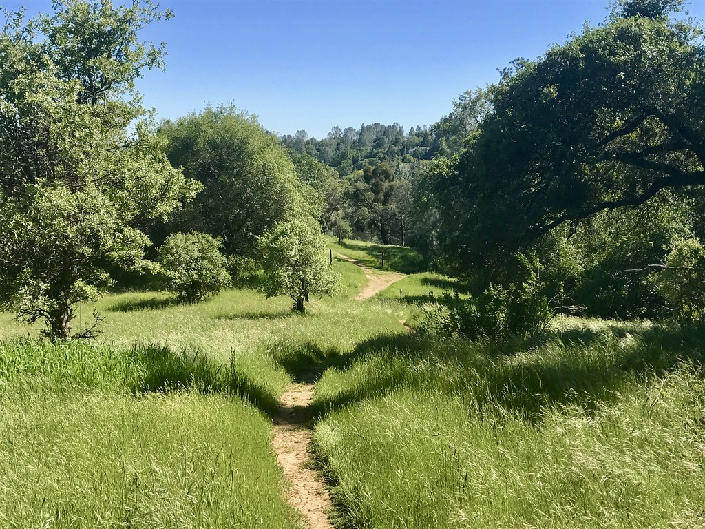
Trail View

Historic Auburn HDR 4115
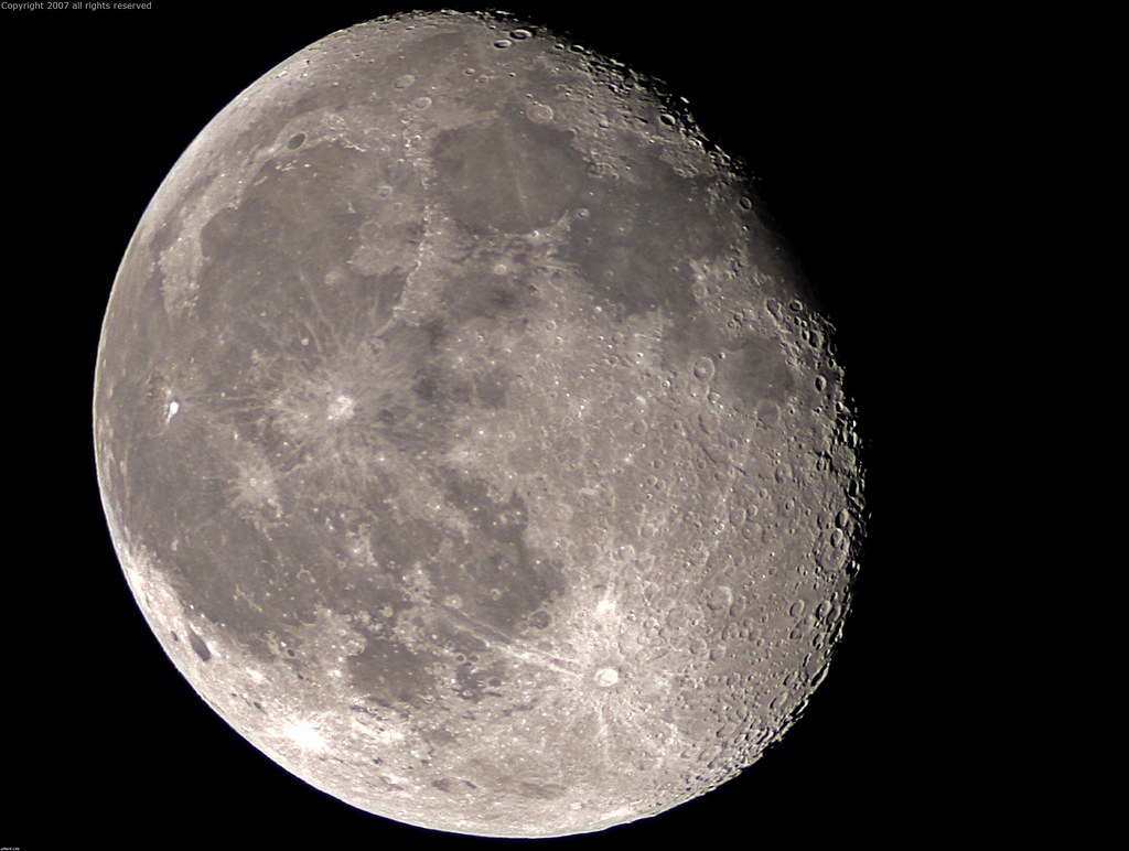
Full Sized Moon and Story 6479

Day 932: Auburn_9446d

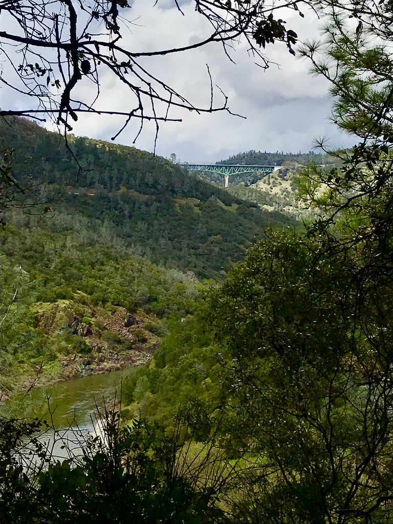
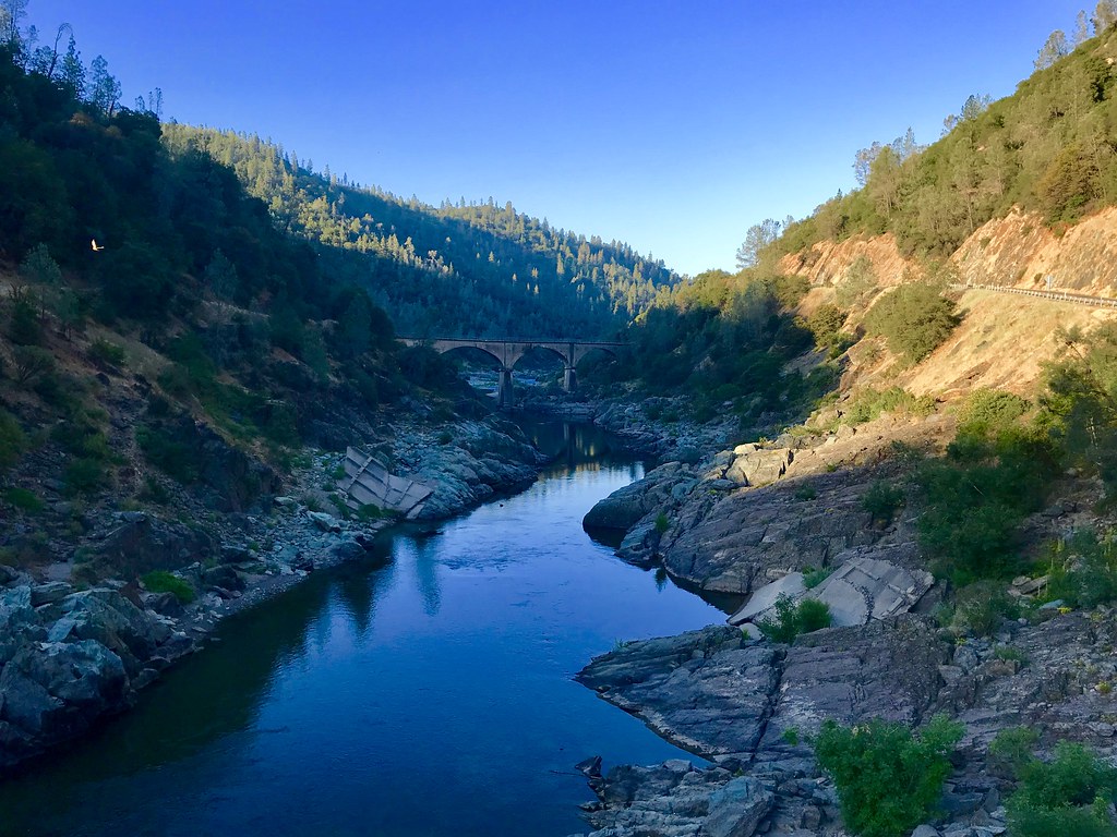
North Fork American River

Green. Blue. Good book. Good view. Perfect weather. #california #sunshine #view #peace #quiet

Day 925: Auburn_9181d

Courthouse View
Canyon View Preserve

From the Gold Country

The Auburn Courthouse
View towards east abutment
Upstream View

Paralleling tracks

Couple-2059
Canyon View

Aerial Views - Clouds above Auburn

Historic Placer County Courthouse

Side View Bridge, Mormon's Ravine, Rattlesnake Bar, Folsom Lake (IMG_3521_2_3_tm_cus-LR

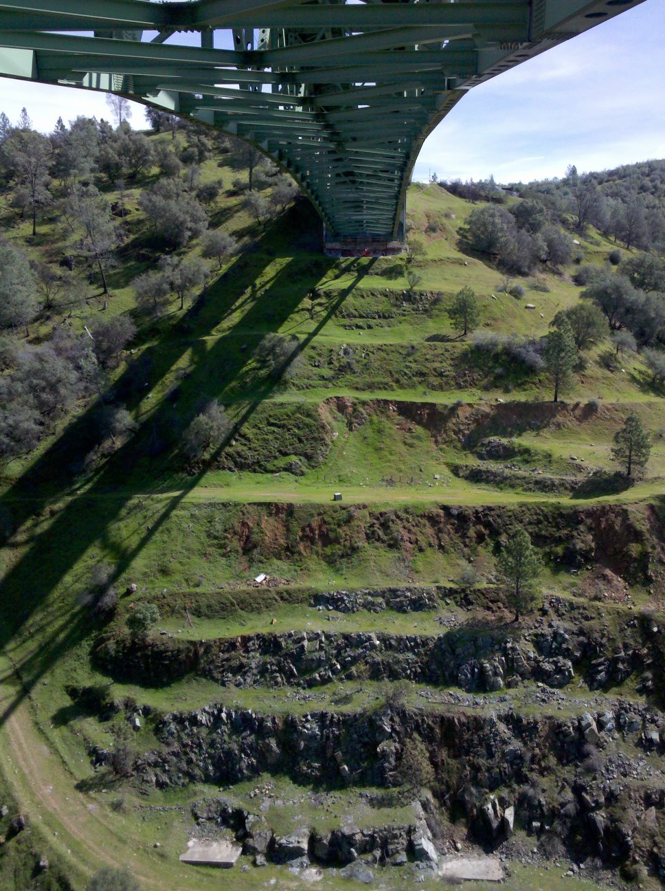
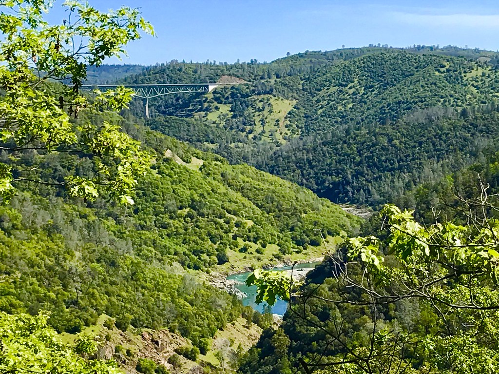
Foresthill Bridge
Black Hole of Calcutta

moss and mist

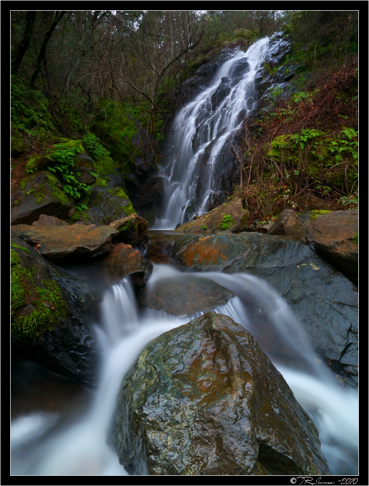
Yankee Jim's Waterfall

Sometimes you get off the bike and take a hike around the lake... #lakeview #california #perfectday #hiking #trails #homestate #hearthealth #cardio #hikecalifornia #sunshine #peace #quiet #reflection

Bryan on the Rocks

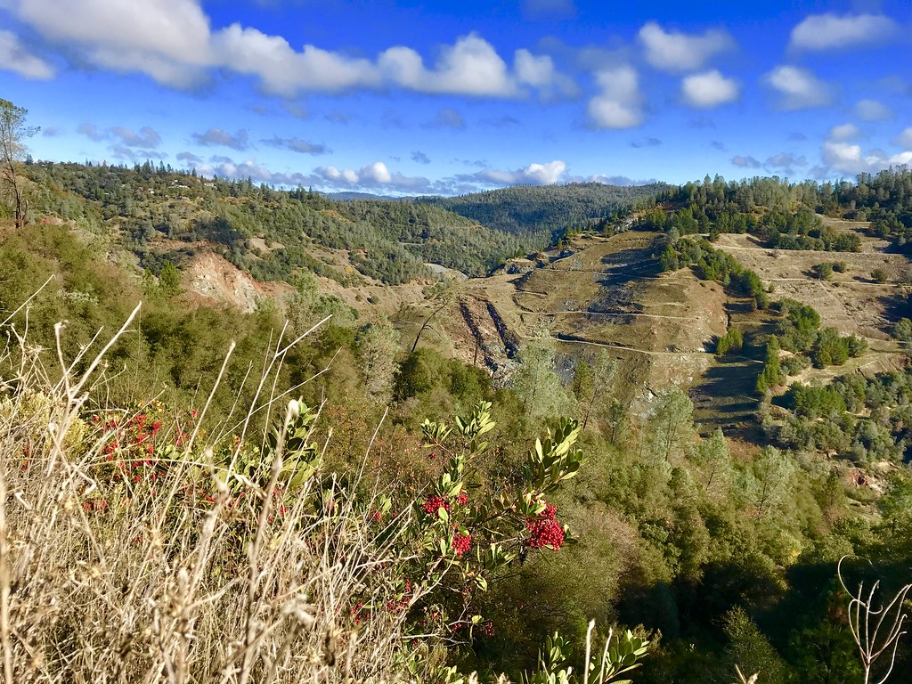
Cool Quarry

Down on the Farm

Falling Away

Forresthill Bridge

Clark's Hole
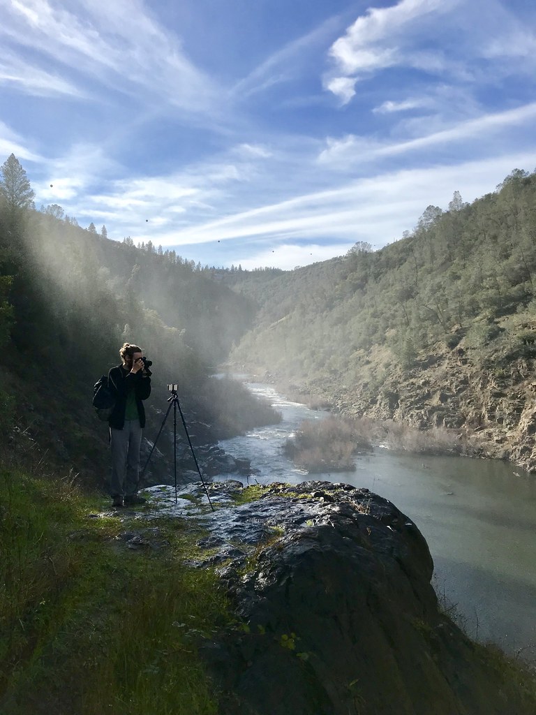
North Fork Photo Op

Amber waves

Foresthill Bridge
Morning on the American

Pines Peaking Through

Hidden Falls

Hidden Falls

Canyon Clouds
Topographic Map of Neils Road, Neils Rd, California, USA
Find elevation by address:

Places near Neils Road, Neils Rd, California, USA:
521 Clipper Gap Rd
Clipper Gap
1140 Stags Leap Ln
415 Cole Ranch Rd
Applegate Rd, Auburn, CA, USA
Edgehill Ln, Auburn, CA, USA
1425 Shadow Rock Dr
5245 Morningside Ave
2990 Boole Road
719 Cole Rd
1431 Lodge View Dr
Winchester Country Club - Sales Office
1515 Meadow Vista Rd
123 Sierra Sunrise Way
Bowman Road
2055 Black Oak Rd
5200 Oak Springs Ct
1411 Cerro Vista Dr
2537 Gayle Ln
871 Meadow Gate Rd
Recent Searches:
- Elevation map of Litang County, Sichuan, China
- Elevation map of Madoi County, Qinghai, China
- Elevation of 3314, Ohio State Route 114, Payne, Paulding County, Ohio, 45880, USA
- Elevation of Sarahills Drive, Saratoga, Santa Clara County, California, 95070, USA
- Elevation of Town of Bombay, Franklin County, New York, USA
- Elevation of 9, Convent Lane, Center Moriches, Suffolk County, New York, 11934, USA
- Elevation of Saint Angelas Convent, 9, Convent Lane, Center Moriches, Suffolk County, New York, 11934, USA
- Elevation of 131st Street Southwest, Mukilteo, Snohomish County, Washington, 98275, USA
- Elevation of 304, Harrison Road, Naples, Cumberland County, Maine, 04055, USA
- Elevation of 2362, Timber Ridge Road, Harrisburg, Cabarrus County, North Carolina, 28075, USA
- Elevation of Ridge Road, Marshalltown, Marshall County, Iowa, 50158, USA
- Elevation of 2459, Misty Shadows Drive, Pigeon Forge, Sevier County, Tennessee, 37862, USA
- Elevation of 8043, Brightwater Way, Spring Hill, Williamson County, Tennessee, 37179, USA
- Elevation of Starkweather Road, San Luis, Costilla County, Colorado, 81152, USA
- Elevation of 5277, Woodside Drive, Baton Rouge, East Baton Rouge Parish, Louisiana, 70808, USA
- Elevation of 1139, Curtin Street, Shepherd Park Plaza, Houston, Harris County, Texas, 77018, USA
- Elevation of 136, Sellers Lane, Repton, Monroe County, Alabama, 36475, USA
- Elevation of 12914, Elmington Drive, Lakewood Forest, Houston, Harris County, Texas, 77429, USA
- Elevation of 417, Camelot Drive, Statesville, Iredell County, North Carolina, 28625, USA
- Elevation of 5792, Wildridge Road, Avon, Eagle County, Colorado, 81620, USA