Elevation of Edgehill Ln, Auburn, CA, USA
Location: United States > California > Placer County > Auburn >
Longitude: -121.04551
Latitude: 38.9413709
Elevation: 515m / 1690feet
Barometric Pressure: 0KPa
Related Photos:

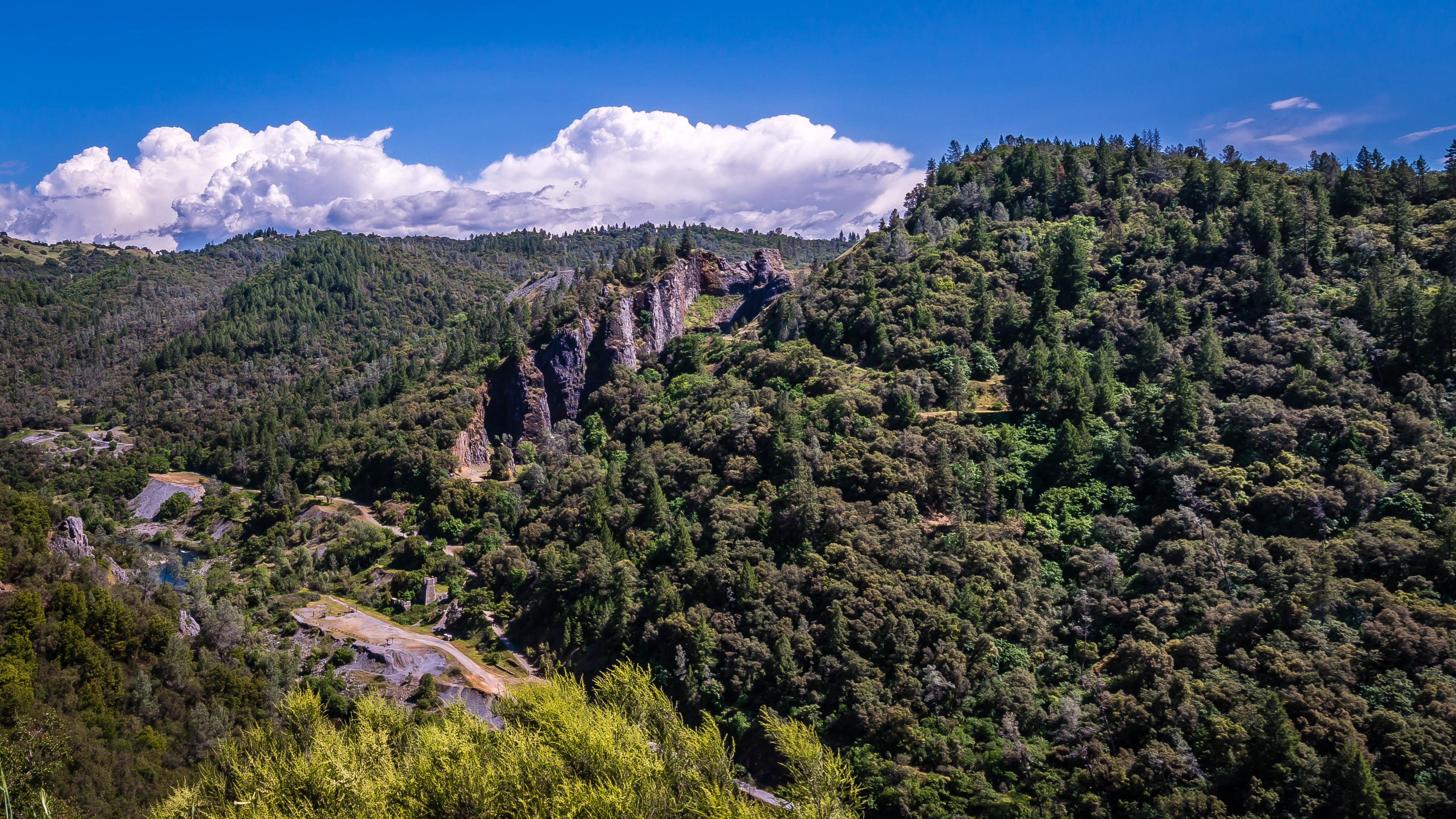
Quarry Wall Under Forest Moonlight

North Fork American River

Day 932: Auburn_9446d
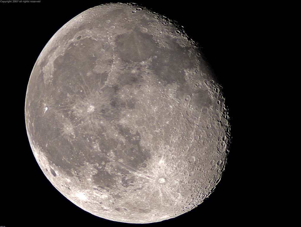
Full Sized Moon and Story 6479

Stalked by a Mountain Lion
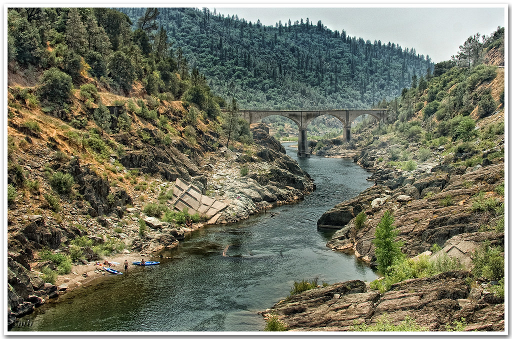
Two Famous Bridges 0935
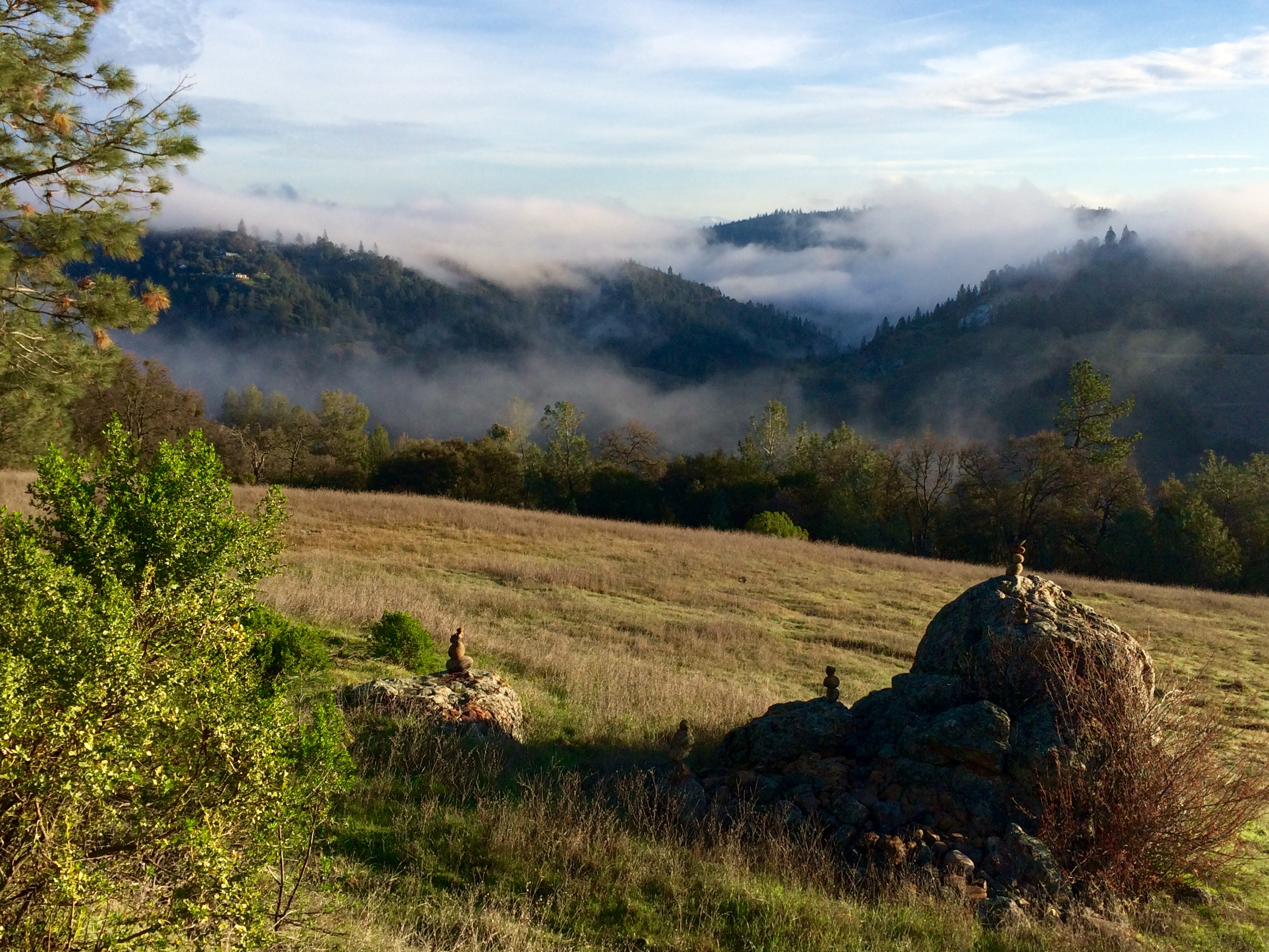
Views facing North

Folsom Lake - Rattlesnake Bar

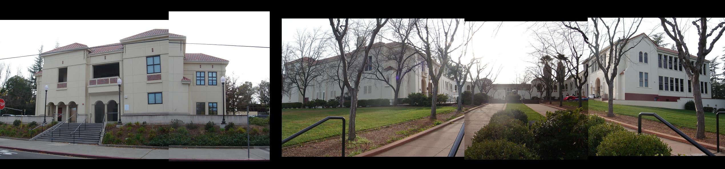
Placer County Courthouse, Auburn, California

Forest Hill Bridge2647

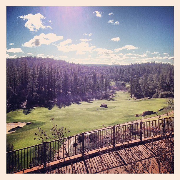
Western Views
Forest Hill Bridge2645
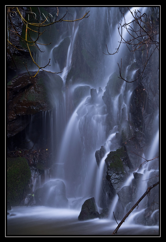
Grotto of the Falls

Historic Auburn HDR 4115

Day 925: Auburn_9181d

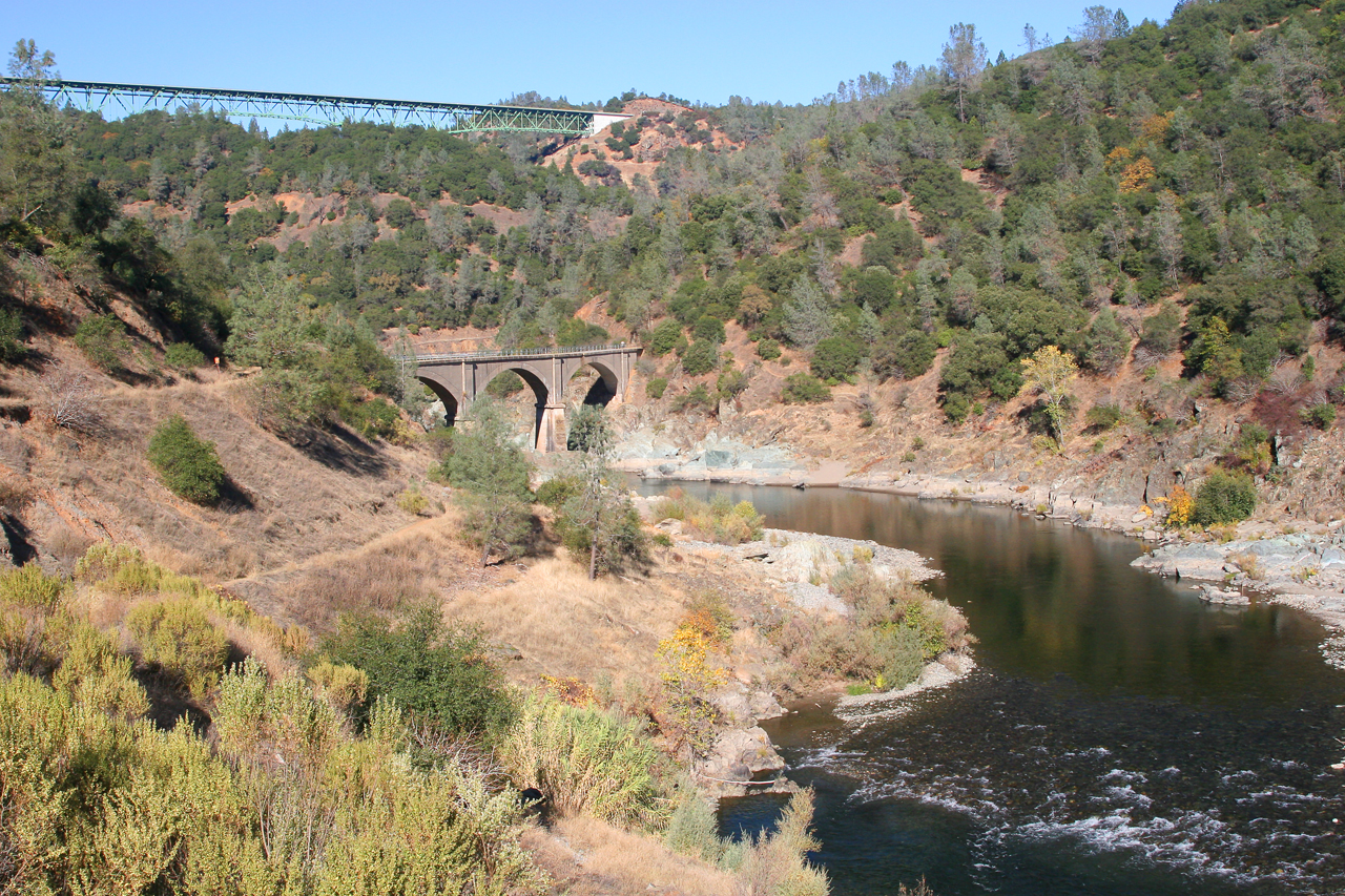
North Fork of American River

Paralleling tracks

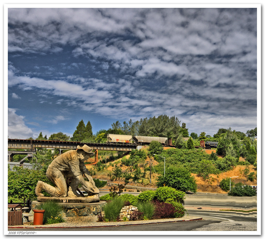
The Auburn Courthouse

Best rear view ever
From the Gold Country
The view from Agard
Spring in California
No Hands Bridge

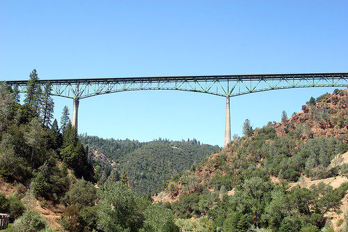
Foresthill Bridge

Curtis.Tasker-2010.01.01-00.47.36-7441.jpg

Hidden Falls 9040
It's going to be a great day
_ADS3092.jpg

Lady in the Grass
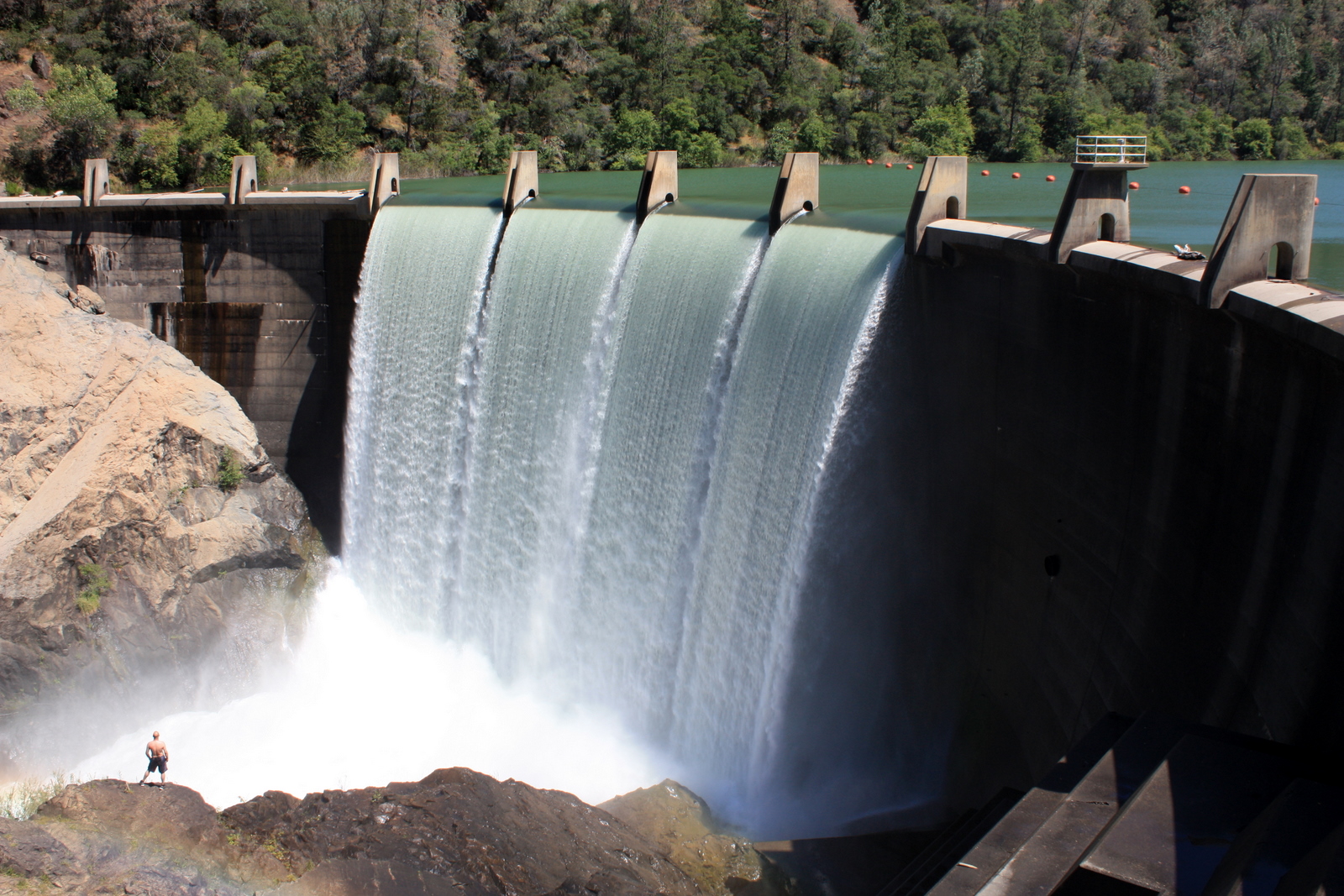
Hiker at the Base of Lake Clementine Dam
214/365 ~ Hidden Falls Regional Park

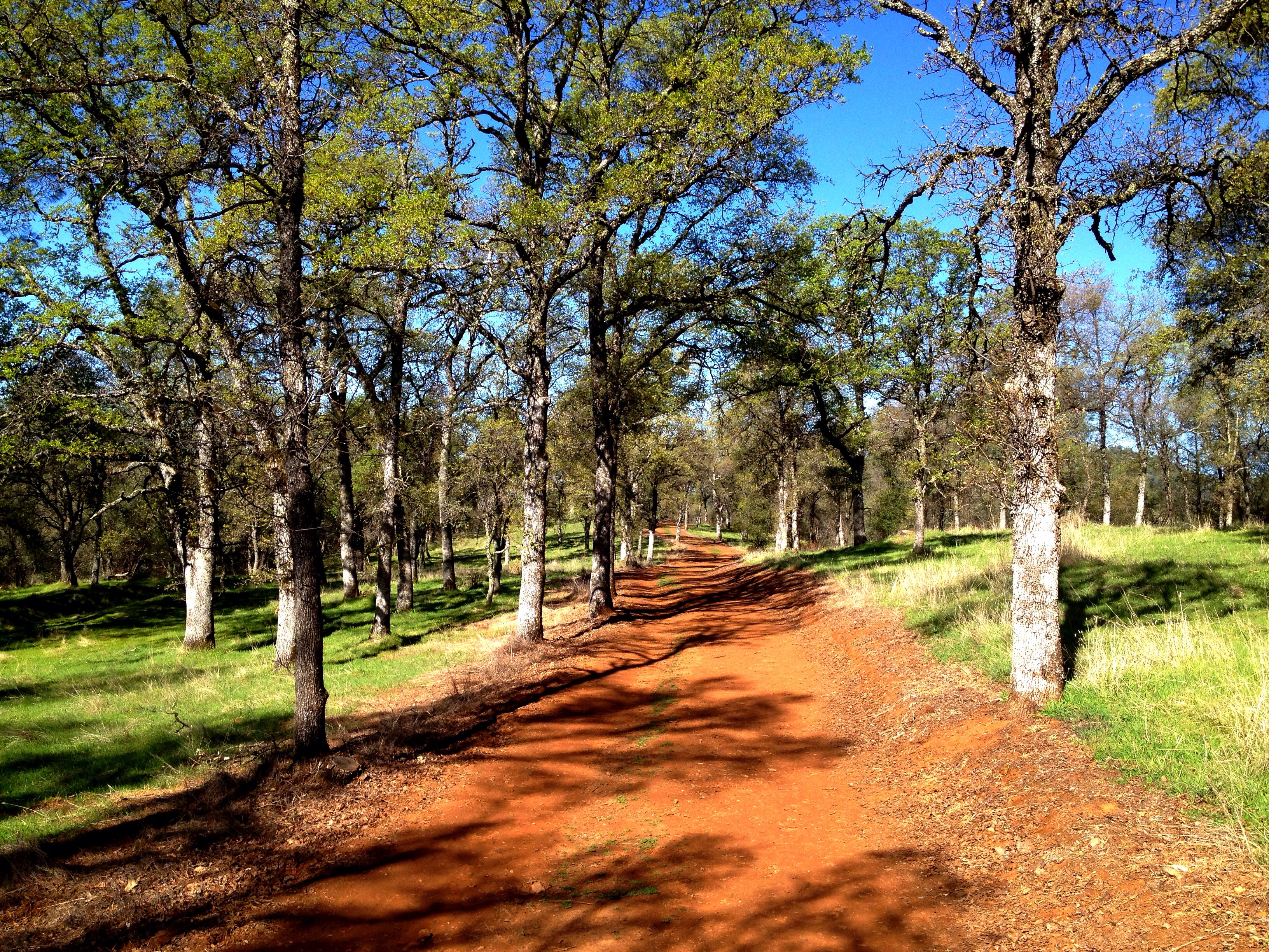
Welcome Lane 6765

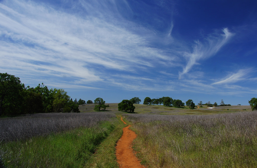
Amber waves
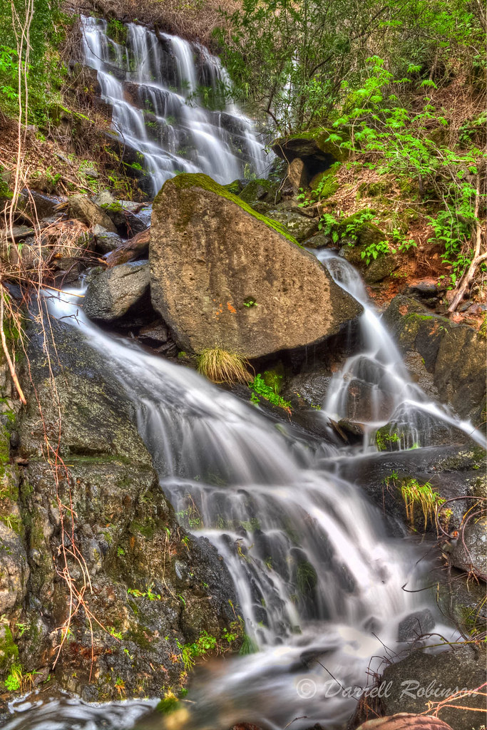
Seasonal Waterfall

No Hands Bridge - Auburn, CA

Loomis landscape #instamood

Early Spring Flowers 2015

IMG_6311 Trail
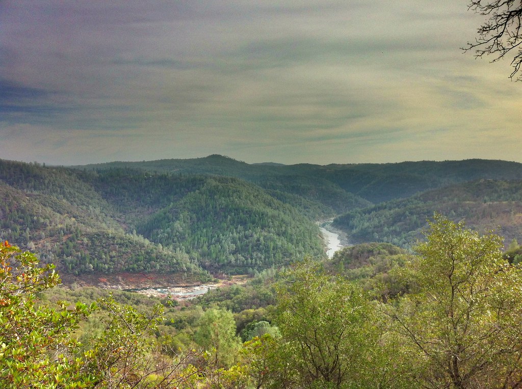
American River
59/366 Clinging to Canyon Walls
Topographic Map of Edgehill Ln, Auburn, CA, USA
Find elevation by address:

Places near Edgehill Ln, Auburn, CA, USA:
123 Sierra Sunrise Way
Bowman Road
13384 Lincoln Way
415 Cole Ranch Rd
Neils Road
Interstate 80
857 Matson Dr
5245 Morningside Ave
1140 Stags Leap Ln
1425 Shadow Rock Dr
Lincoln Way
Lincoln Way
Luther Road
2055 Black Oak Rd
12725 Shockley Ct
12577 Highland Dr
5200 Oak Springs Ct
191 Lincoln Way
1630 Tulip Cir
521 Clipper Gap Rd
Recent Searches:
- Elevation of 24, Auburn Bay Crescent SE, Auburn Bay, Calgary, Alberta, T3M 0A6, Canada
- Elevation of Denver, 2314, Arapahoe Street, Five Points, Denver, Colorado, 80205, USA
- Elevation of Community of the Beatitudes, 2924, West 43rd Avenue, Sunnyside, Denver, Colorado, 80211, USA
- Elevation map of Litang County, Sichuan, China
- Elevation map of Madoi County, Qinghai, China
- Elevation of 3314, Ohio State Route 114, Payne, Paulding County, Ohio, 45880, USA
- Elevation of Sarahills Drive, Saratoga, Santa Clara County, California, 95070, USA
- Elevation of Town of Bombay, Franklin County, New York, USA
- Elevation of 9, Convent Lane, Center Moriches, Suffolk County, New York, 11934, USA
- Elevation of Saint Angelas Convent, 9, Convent Lane, Center Moriches, Suffolk County, New York, 11934, USA
- Elevation of 131st Street Southwest, Mukilteo, Snohomish County, Washington, 98275, USA
- Elevation of 304, Harrison Road, Naples, Cumberland County, Maine, 04055, USA
- Elevation of 2362, Timber Ridge Road, Harrisburg, Cabarrus County, North Carolina, 28075, USA
- Elevation of Ridge Road, Marshalltown, Marshall County, Iowa, 50158, USA
- Elevation of 2459, Misty Shadows Drive, Pigeon Forge, Sevier County, Tennessee, 37862, USA
- Elevation of 8043, Brightwater Way, Spring Hill, Williamson County, Tennessee, 37179, USA
- Elevation of Starkweather Road, San Luis, Costilla County, Colorado, 81152, USA
- Elevation of 5277, Woodside Drive, Baton Rouge, East Baton Rouge Parish, Louisiana, 70808, USA
- Elevation of 1139, Curtin Street, Shepherd Park Plaza, Houston, Harris County, Texas, 77018, USA
- Elevation of 136, Sellers Lane, Repton, Monroe County, Alabama, 36475, USA