Elevation of Gayle Ln, Auburn, CA, USA
Location: United States > California > Placer County > Auburn >
Longitude: -121.06537
Latitude: 38.974184
Elevation: 515m / 1690feet
Barometric Pressure: 95KPa
Elevation Map:
Satellite Map:
Related Photos:
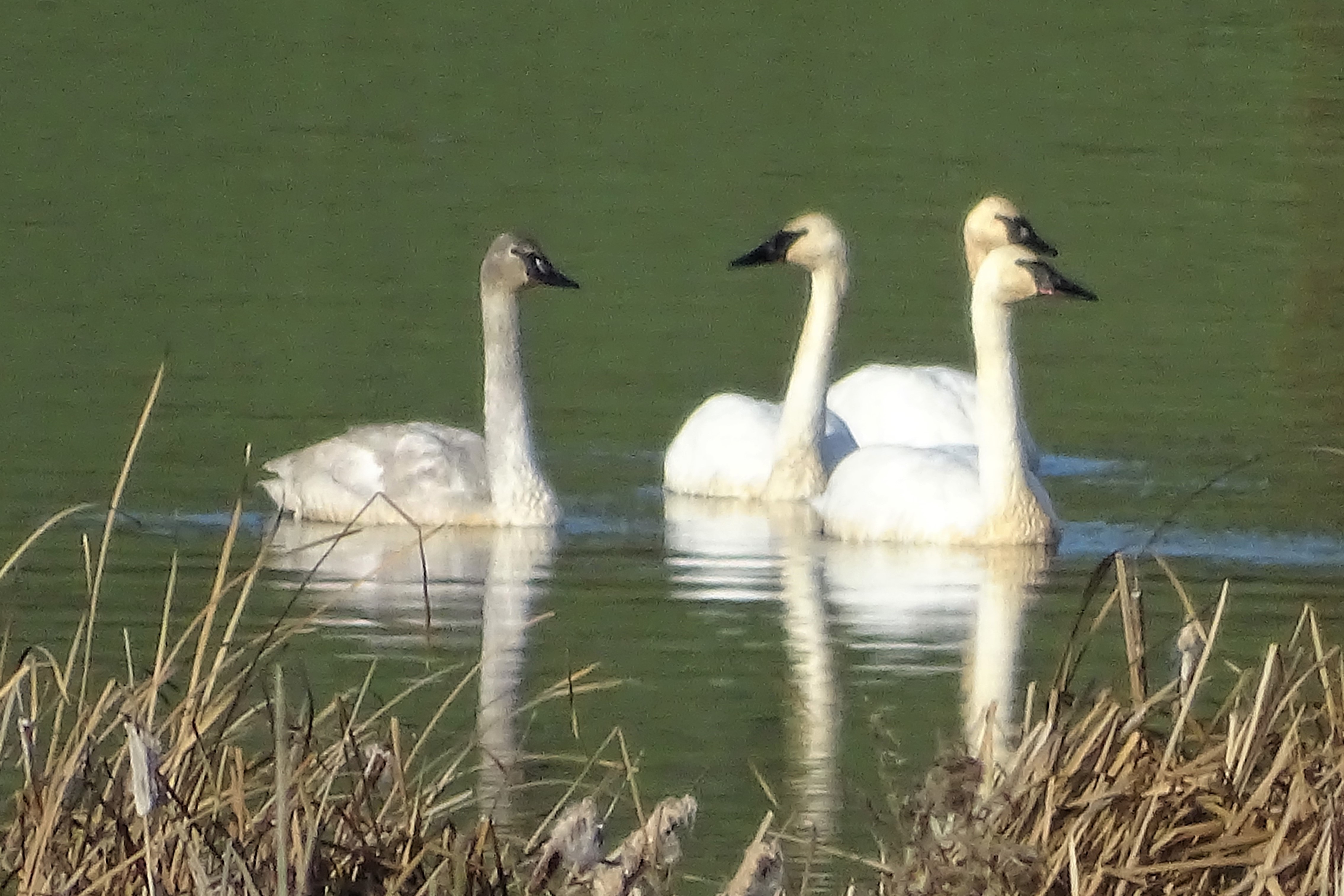
Trumpeter Swans--Cygnus buccinator
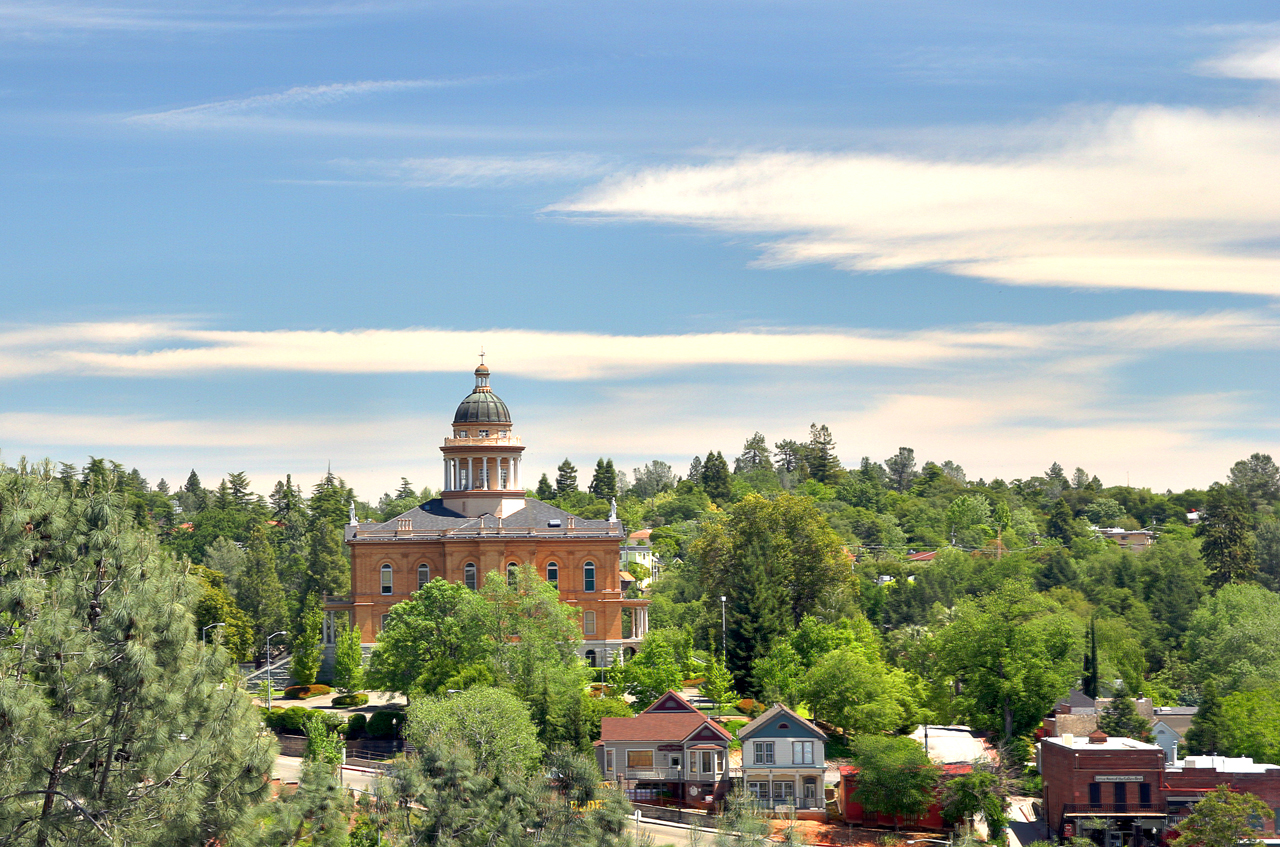
Historic Auburn HDR 4115
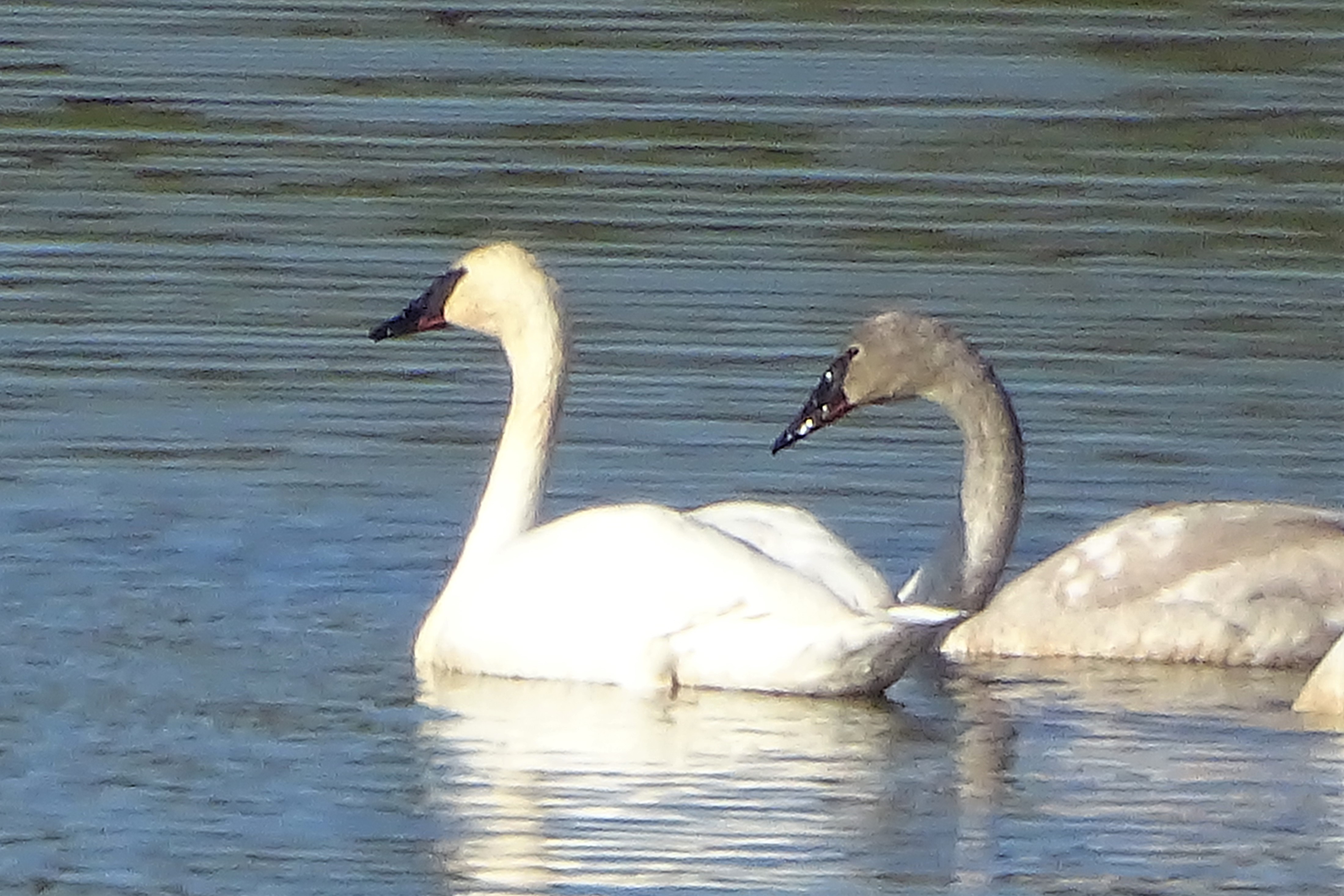
Trumpeter Swans--Cygnus buccinator
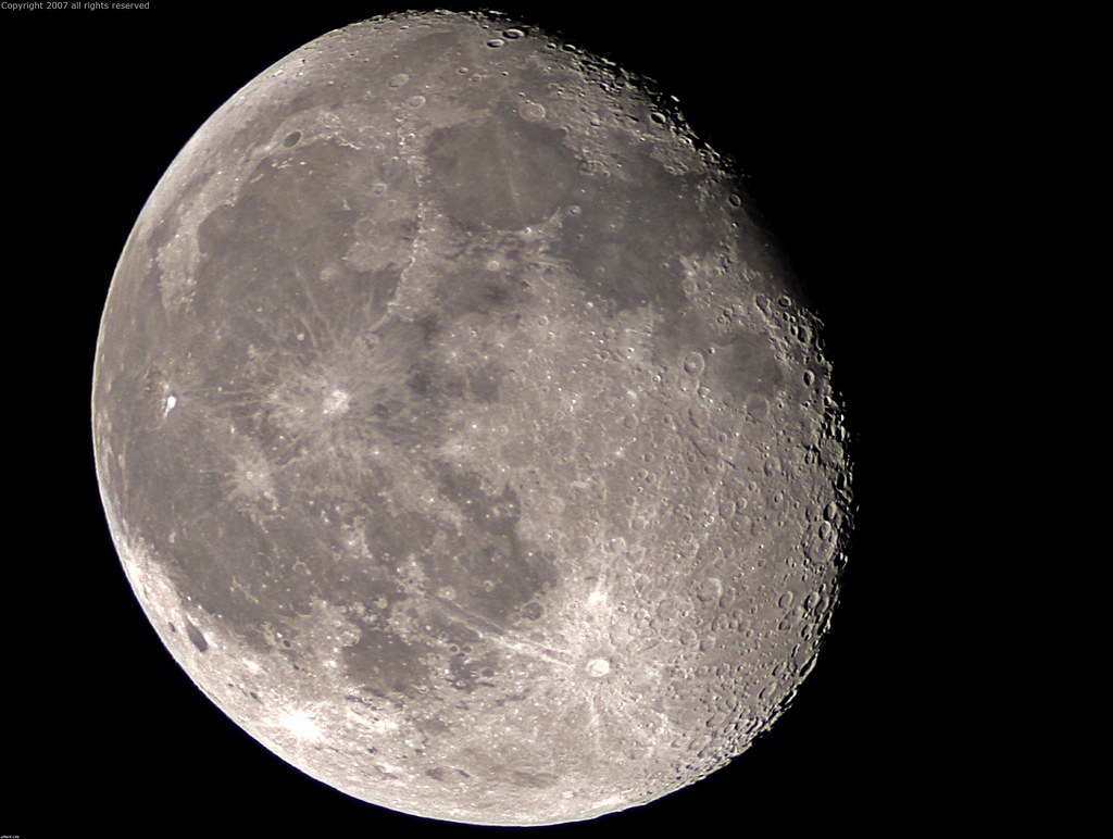
Full Sized Moon and Story 6479

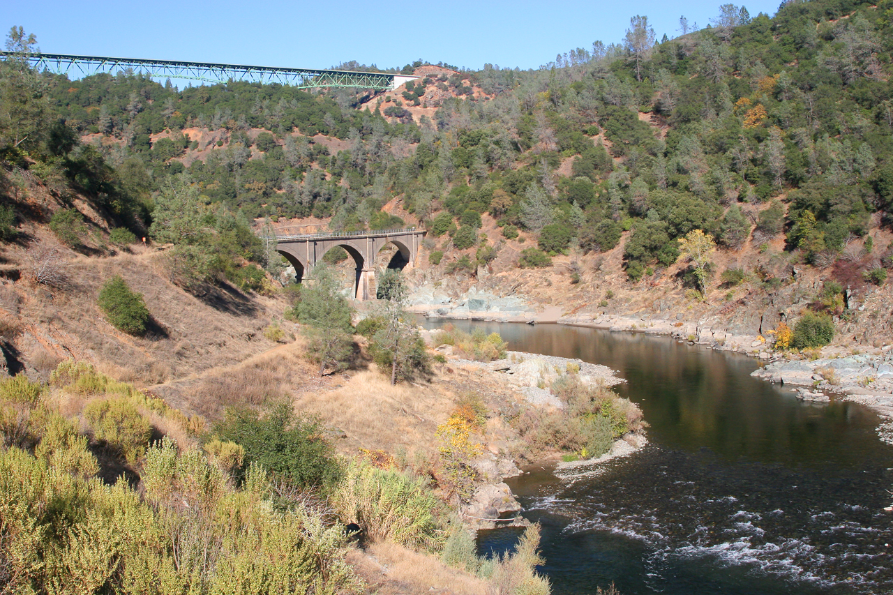
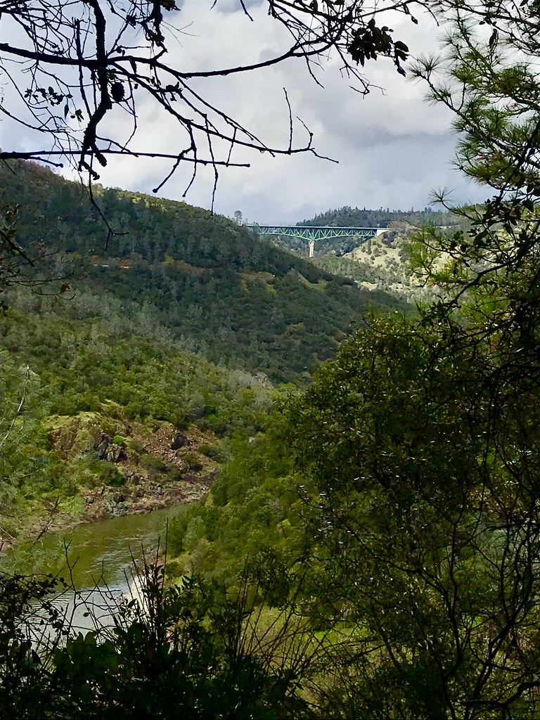
North Fork American River

Stalked by a Mountain Lion
Canyon View Preserve
View towards east abutment

Couple-2059
Summer Insanity 2737
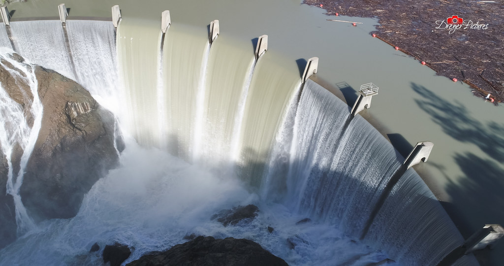
Clementine Dam - California
Two Famous Bridges 0935
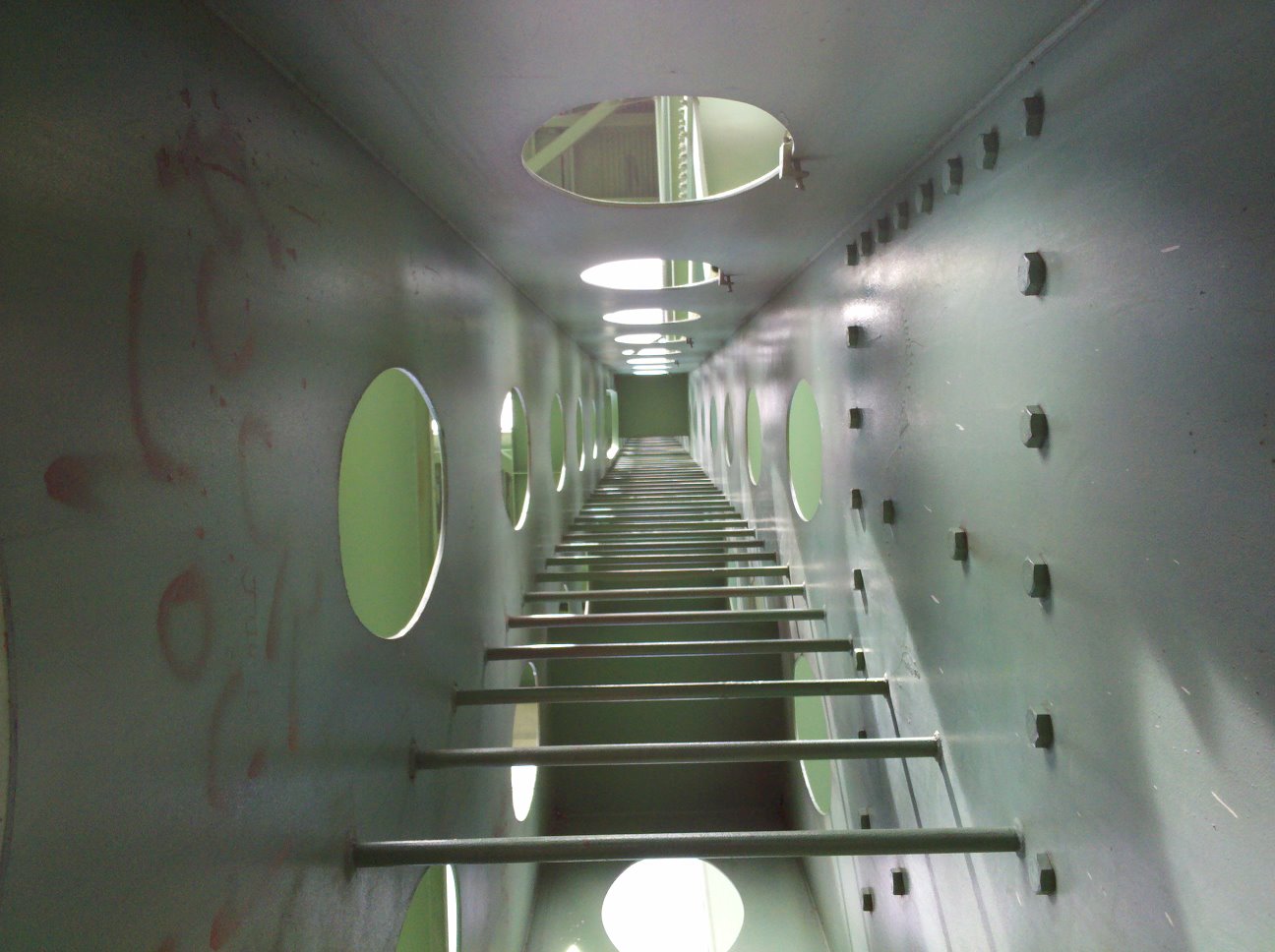
view up ladder

Fox Sparrow
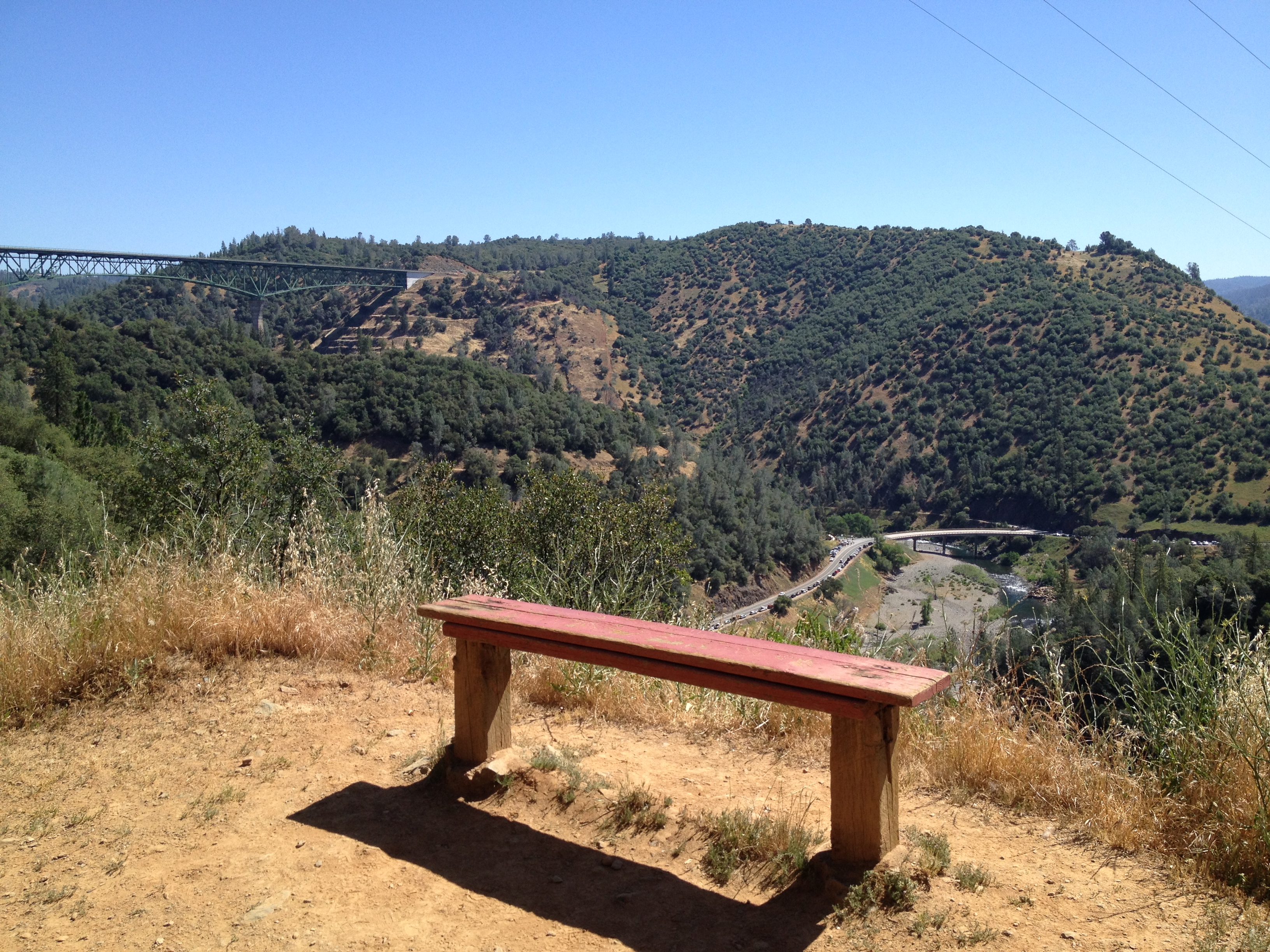
Bench with a View, Stagecoach Trail 2014
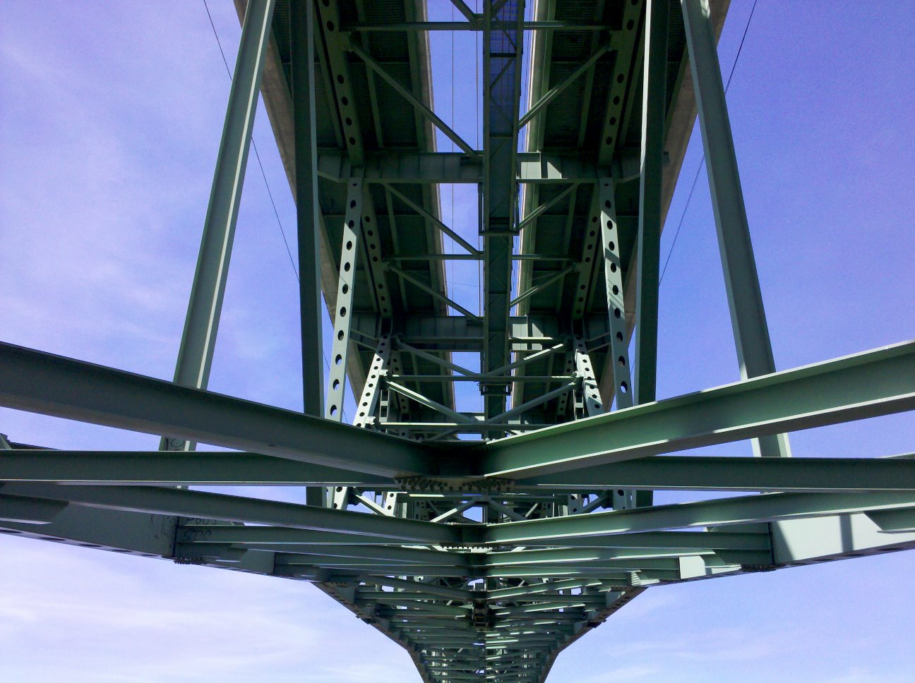
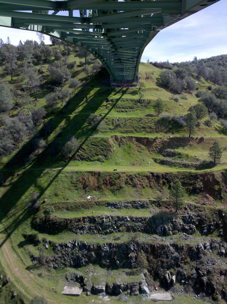
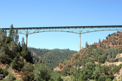
Bridge Structure
Forest Hill Bridge2645
Cool Cave Diggins
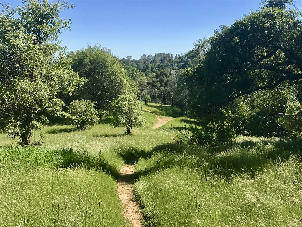
Trail View

Day 932: Auburn_9446d
Green. Blue. Good book. Good view. Perfect weather. #california #sunshine #view #peace #quiet

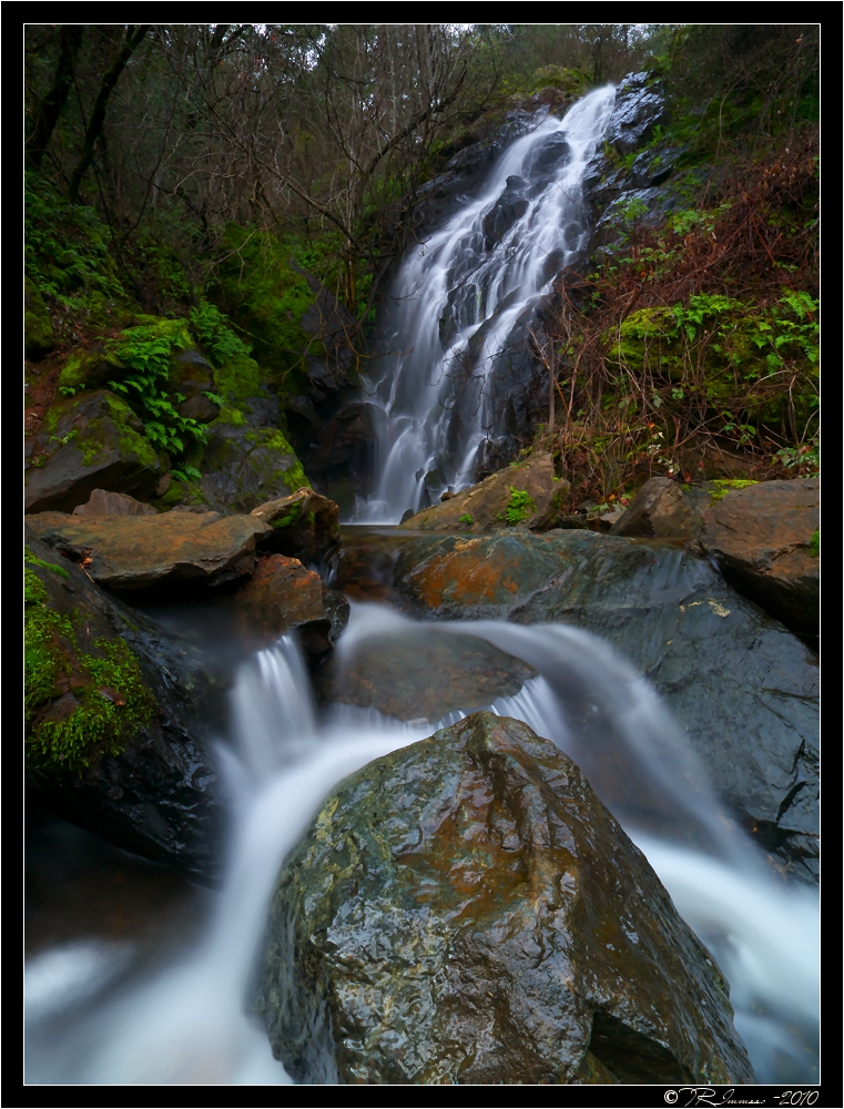
Yankee Jim's Waterfall
Sometimes you get off the bike and take a hike around the lake... #lakeview #california #perfectday #hiking #trails #homestate #hearthealth #cardio #hikecalifornia #sunshine #peace #quiet #reflection

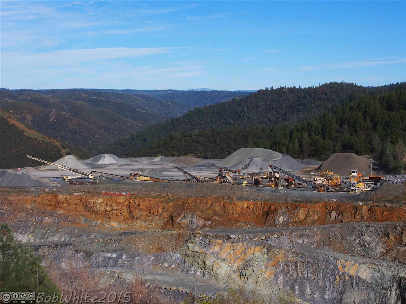
Cool Quarry
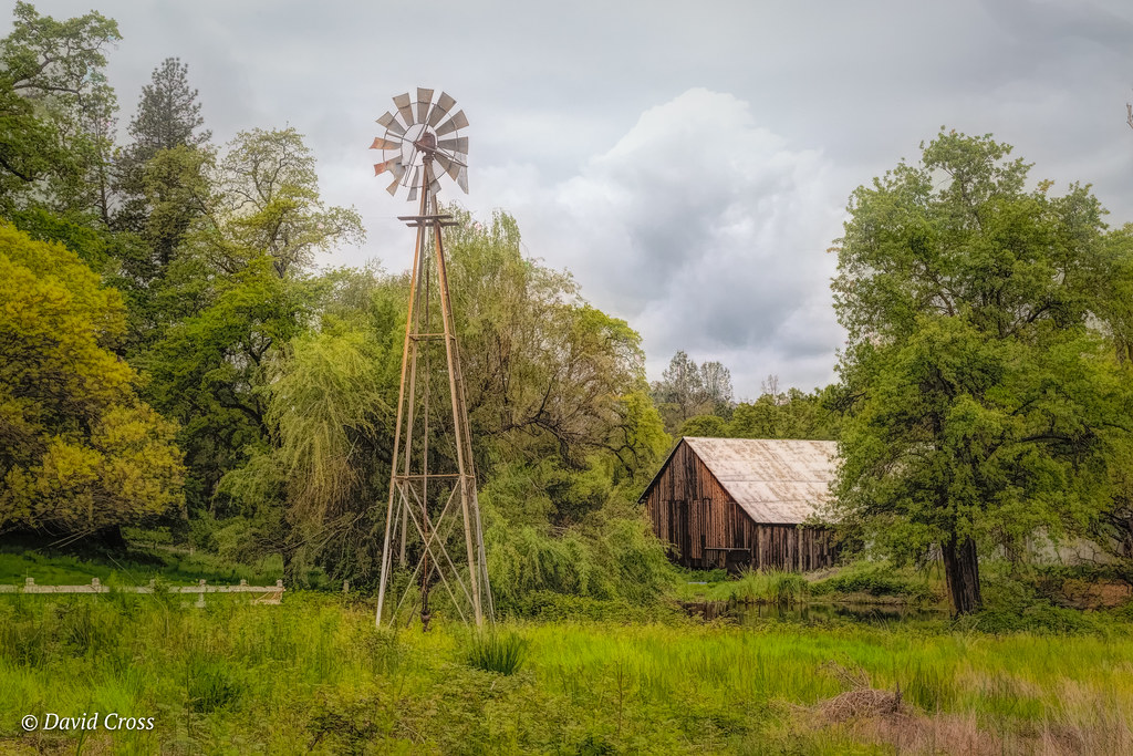
Down on the Farm
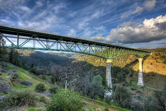
Forresthill Bridge

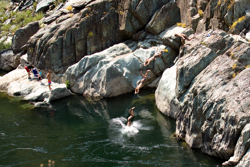
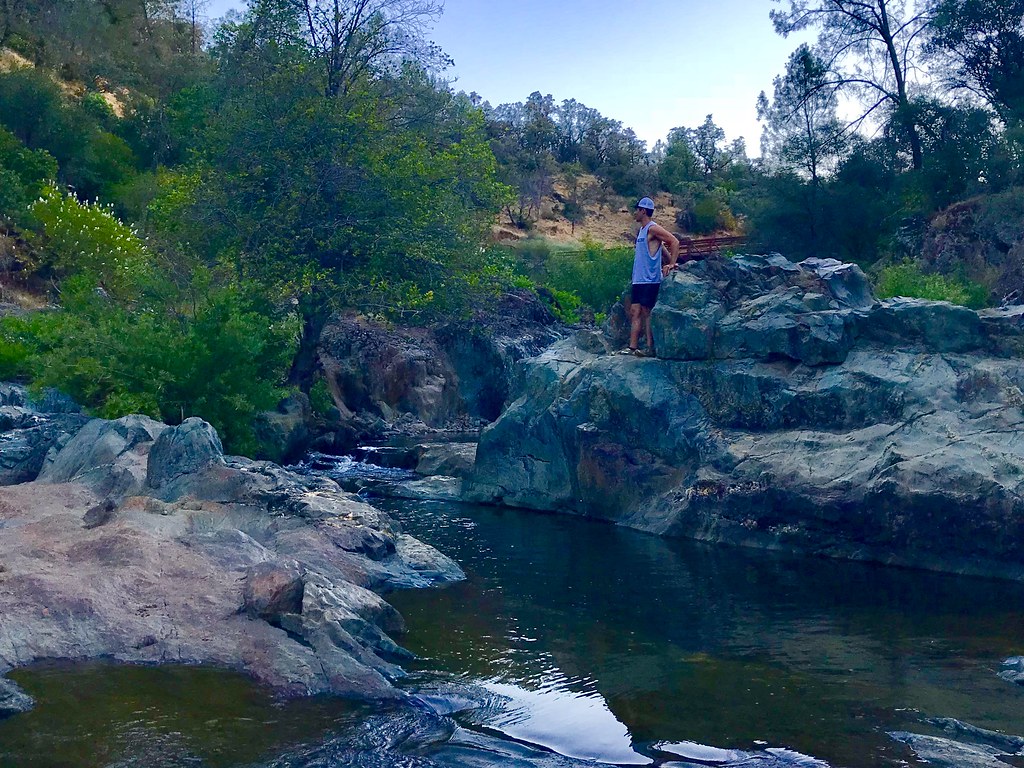
Clark's Hole
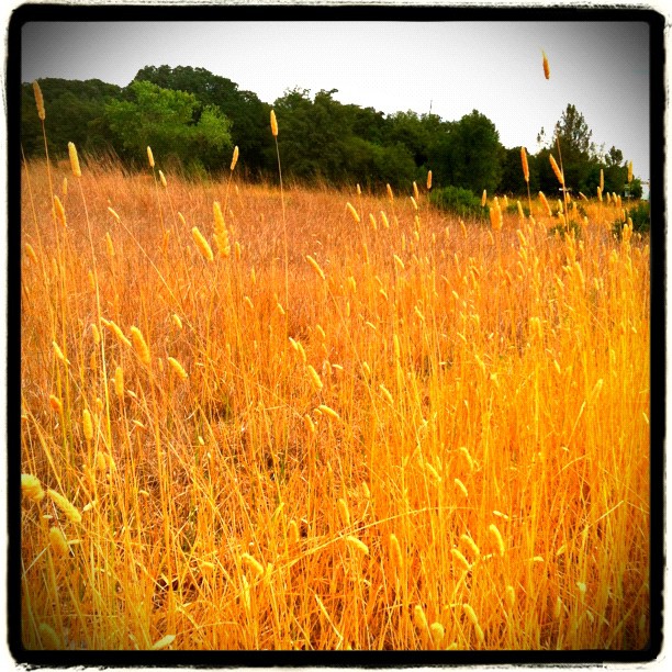
Amber waves
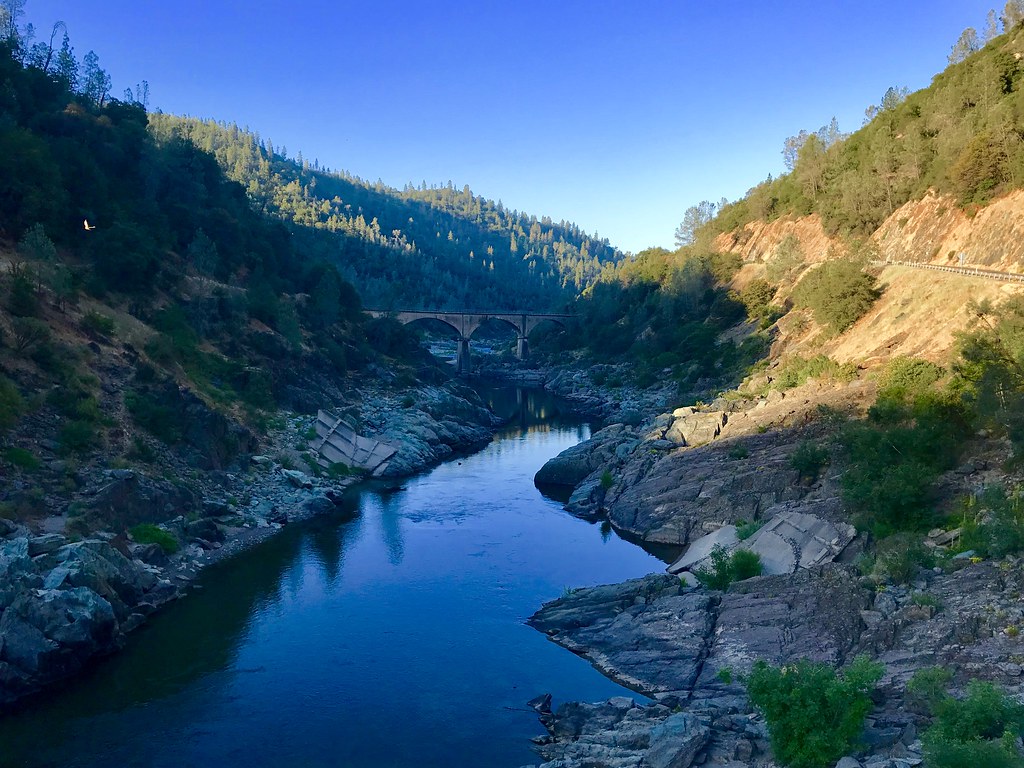
Morning on the American
Black Hole of Calcutta
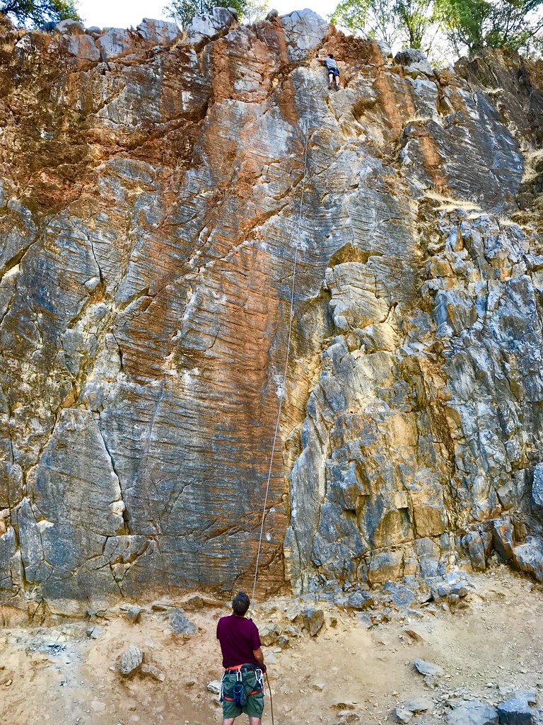
On Belay

Curtis.Tasker-2010.01.01-00.47.36-7441.jpg
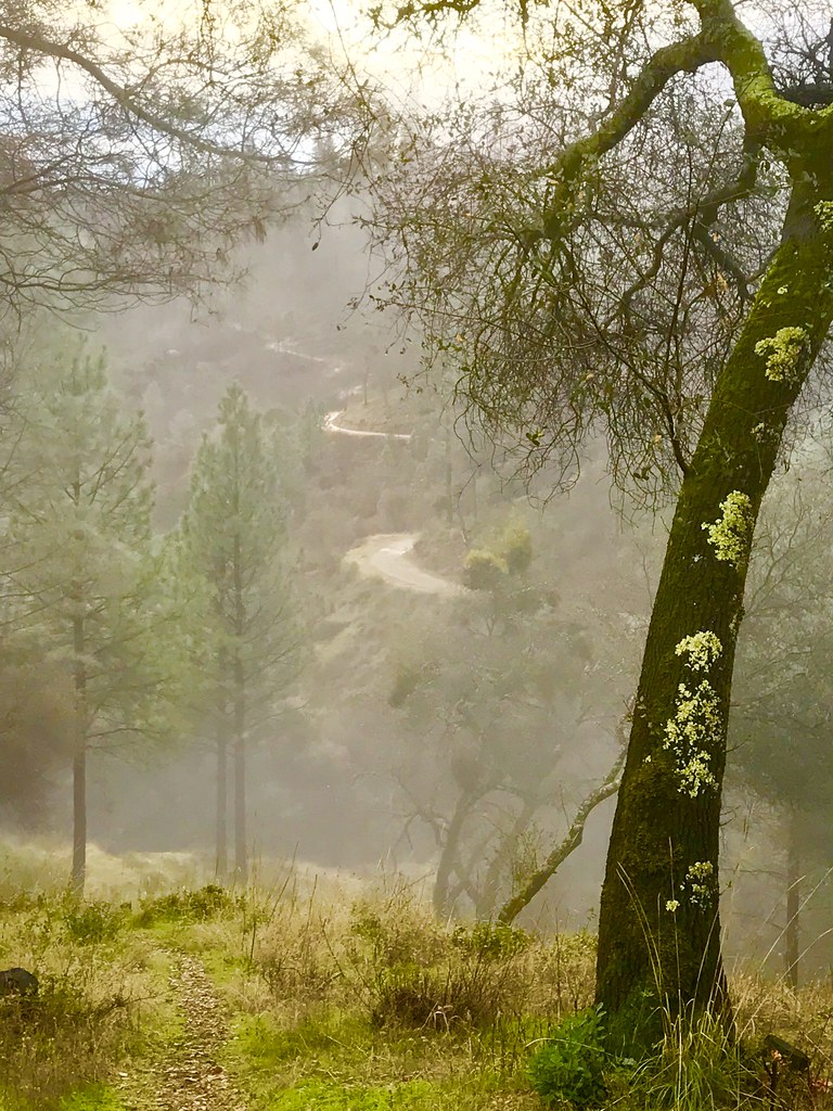
Misty Trail

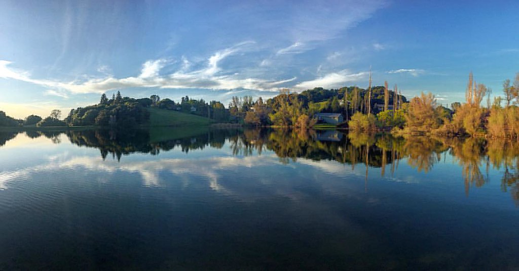
Mirror Image
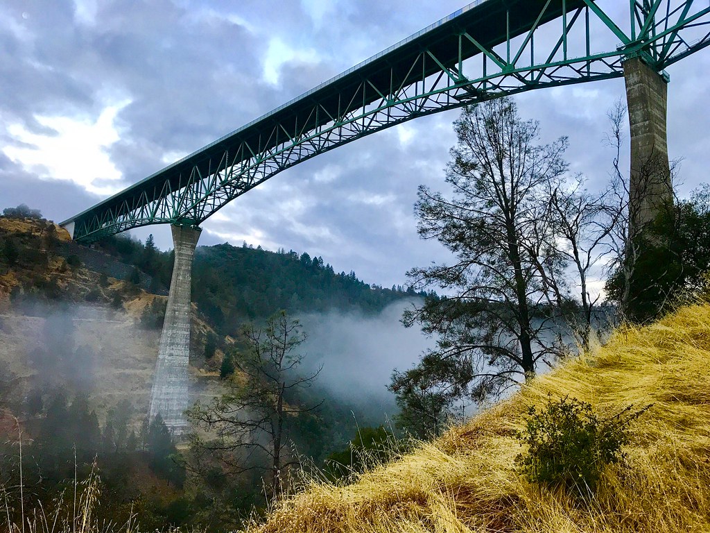
Foresthill Bridge
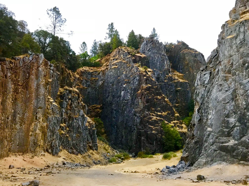
Quarry Climbing Area
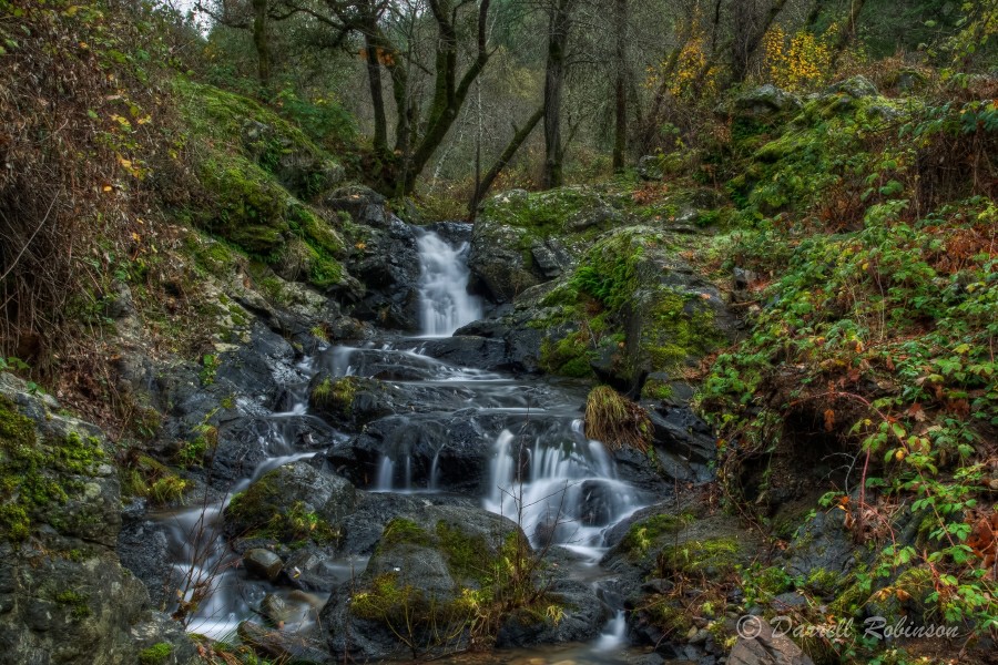
Campbell Creek Cascade
Bryan on the Rocks
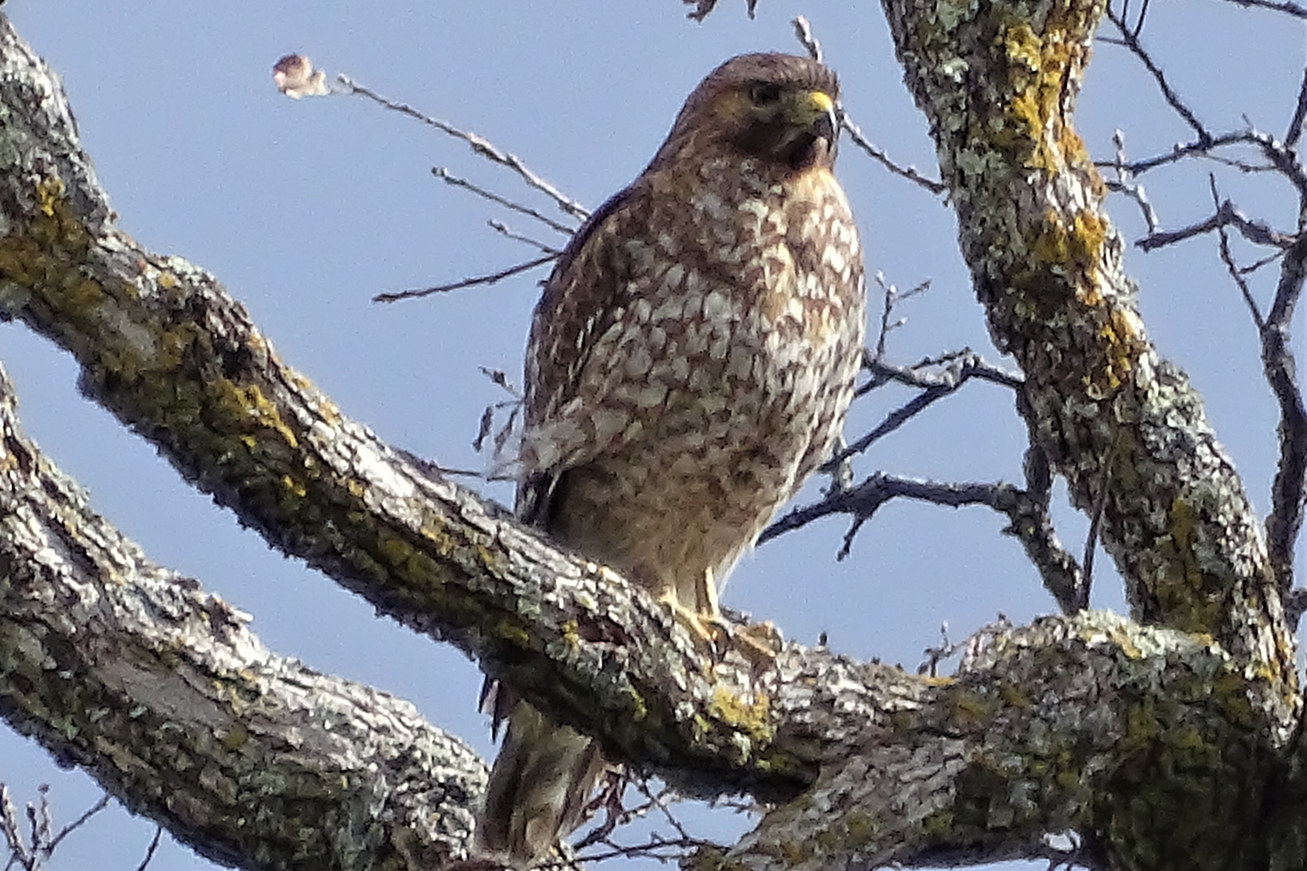
Red-shouldered Hawk (immature)--Buteo lineatus
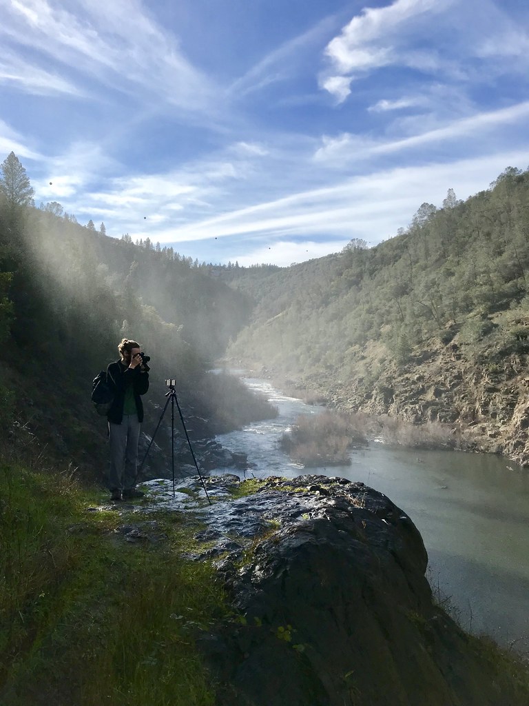
North Fork Photo Op
Topographic Map of Gayle Ln, Auburn, CA, USA
Find elevation by address:

Places near Gayle Ln, Auburn, CA, USA:
5200 Oak Springs Ct
2700 Campbell Dr
Campbell Drive
2055 Black Oak Rd
3280 Christian Valley Rd
3301 Nancy Dr
4757 Gava Ct
4750 Gava Ct
5245 Morningside Ave
Iron Mine Road
1425 Shadow Rock Dr
3710 Christian Valley Rd
Dry Creek Road
5697 Stanley Dr
13160 Dry Creek Rd
1140 Stags Leap Ln
415 Cole Ranch Rd
Winchester Country Club - Sales Office
1431 Lodge View Dr
14510 Mcelroy Rd
Recent Searches:
- Elevation of Corso Fratelli Cairoli, 35, Macerata MC, Italy
- Elevation of Tallevast Rd, Sarasota, FL, USA
- Elevation of 4th St E, Sonoma, CA, USA
- Elevation of Black Hollow Rd, Pennsdale, PA, USA
- Elevation of Oakland Ave, Williamsport, PA, USA
- Elevation of Pedrógão Grande, Portugal
- Elevation of Klee Dr, Martinsburg, WV, USA
- Elevation of Via Roma, Pieranica CR, Italy
- Elevation of Tavkvetili Mountain, Georgia
- Elevation of Hartfords Bluff Cir, Mt Pleasant, SC, USA