Elevation of NB-, Saint-Arthur, NB E3N 5S4, Canada
Location: Canada > New Brunswick > Restigouche County > Addington > Saint-arthur >
Longitude: -66.776486
Latitude: 47.8921714
Elevation: 247m / 810feet
Barometric Pressure: 98KPa
Elevation Map:
Satellite Map:
Related Photos:
Pointe-à-la-Croix, Quebec
Pointe-à-la-Croix, Quebec
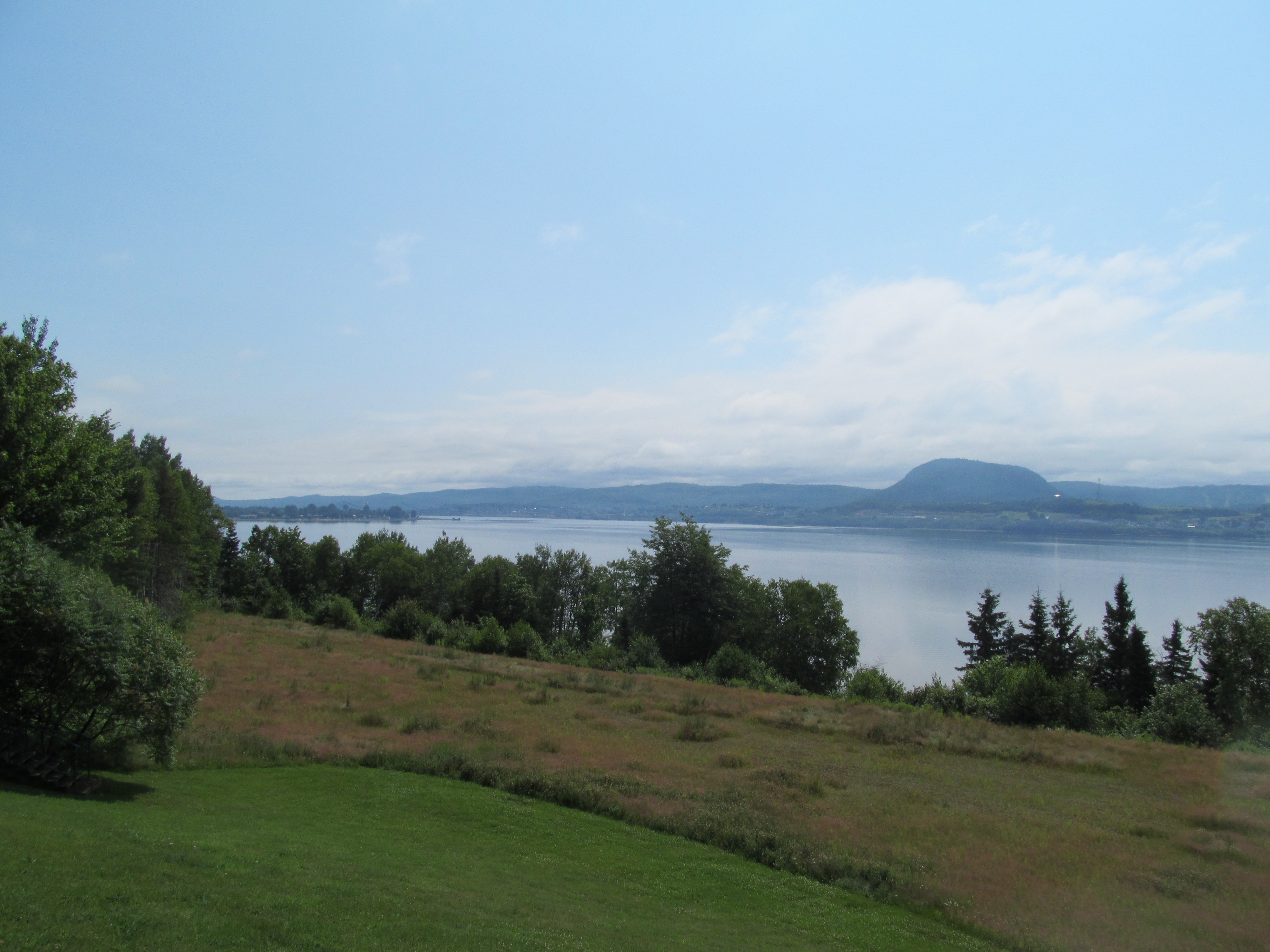
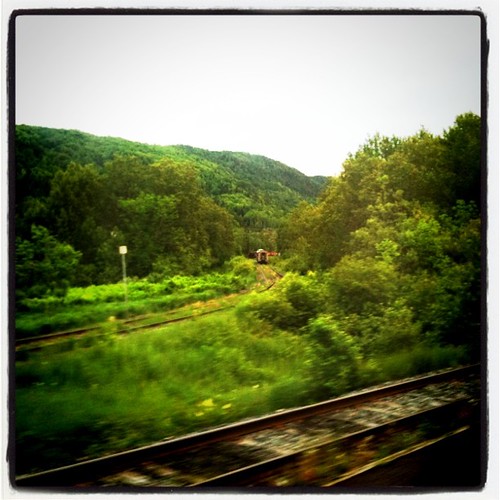
Restigouche River
Tide Head, N.B Boom road
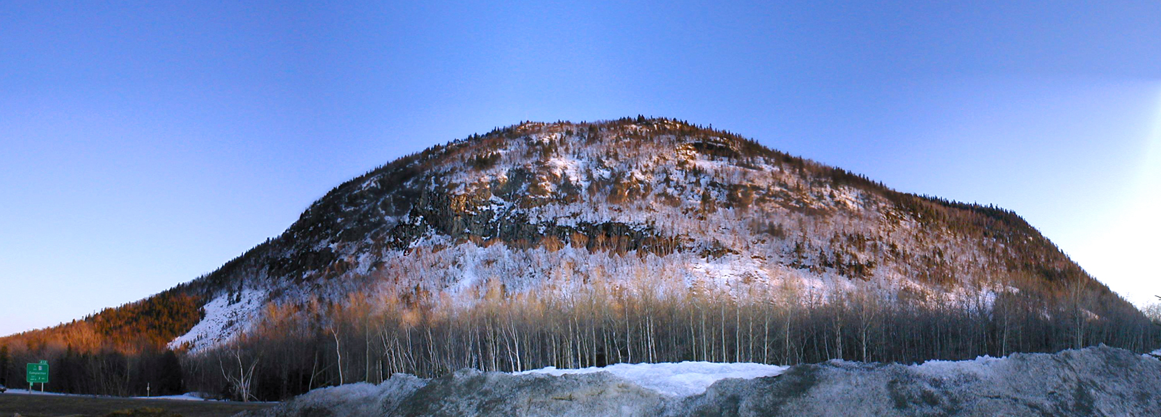
Sugarloaf, Campbellton NB
Campbellton, N.B, Van horne bridge

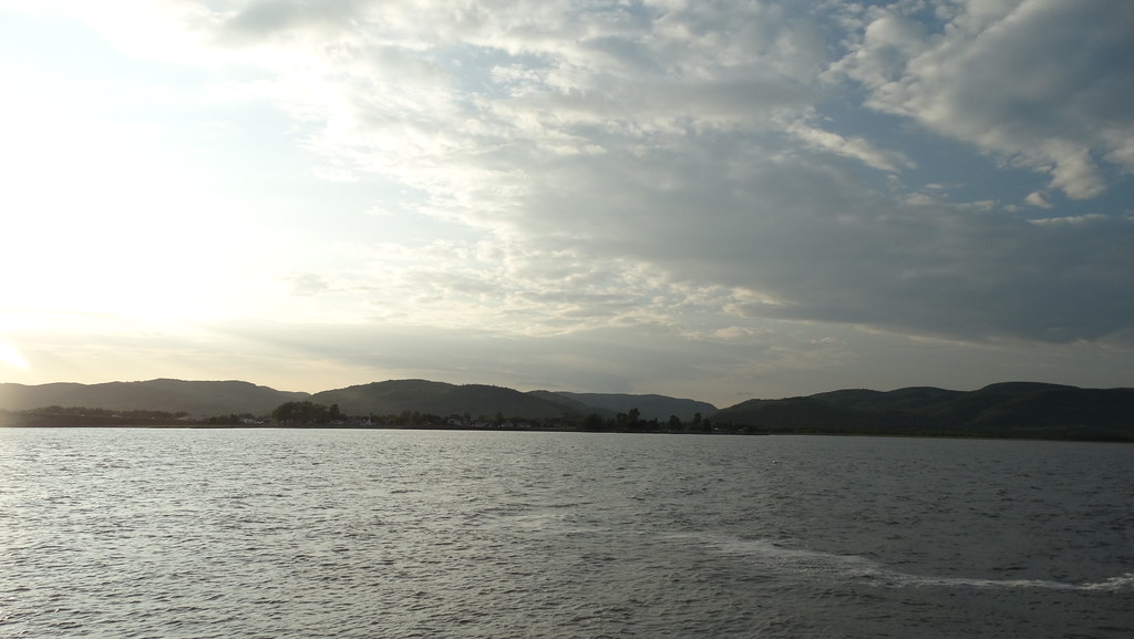
Broken Pier Sunset

Lifting fog on the Restigouche
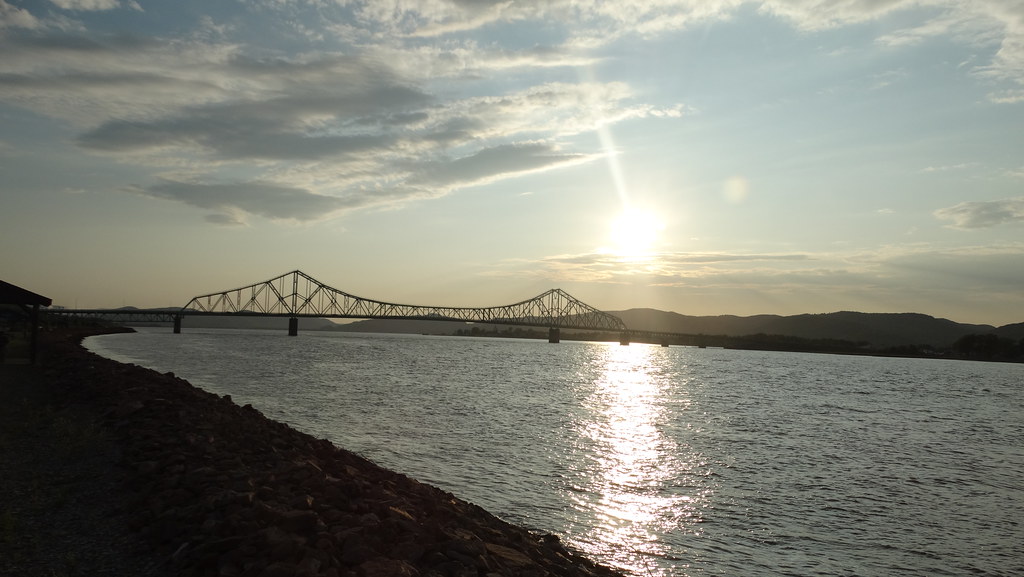
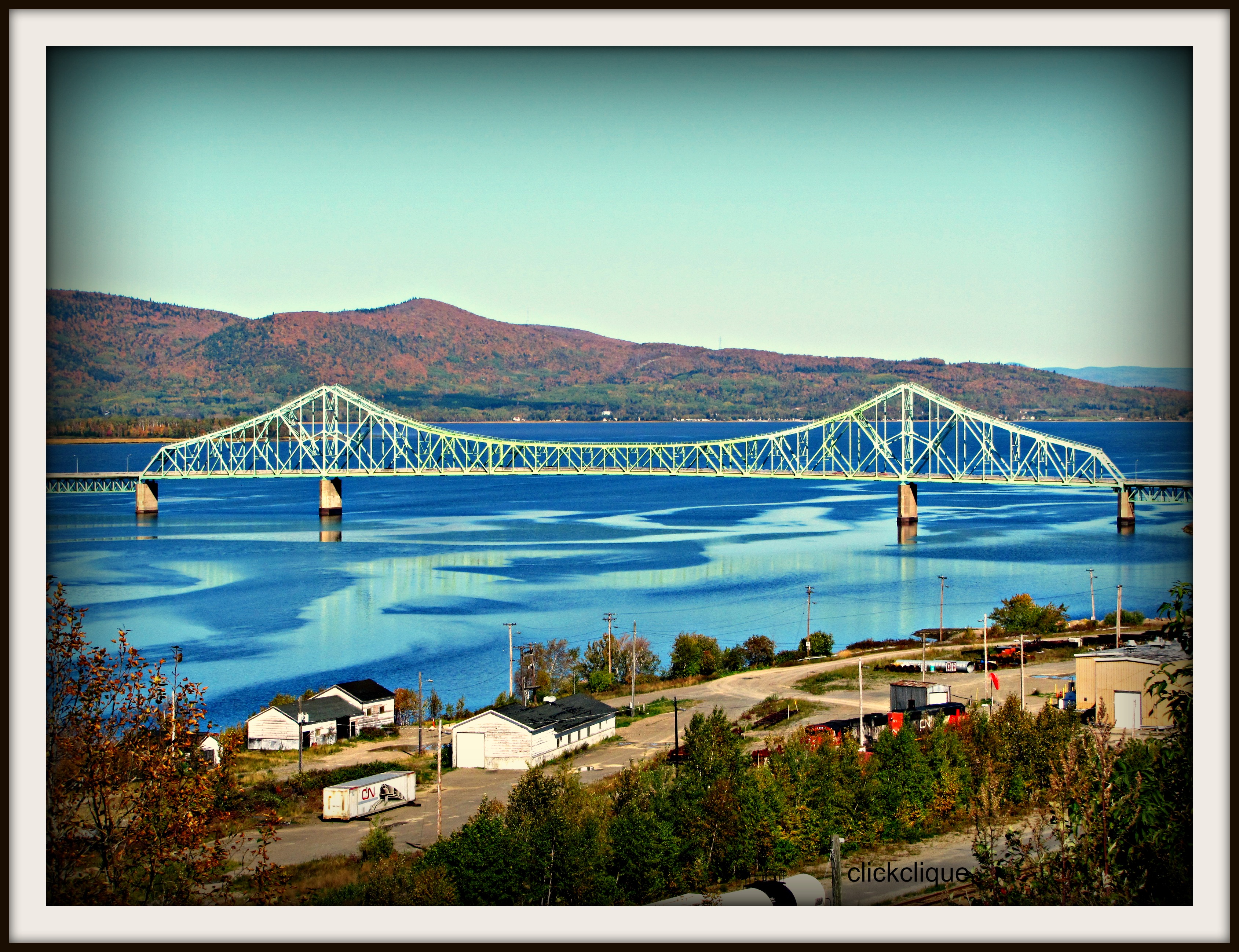
J.C. Van Horne Bridge

Pointe-à-la-Croix, Quebec

Fog on the J.C. Van Horne

JC in Colour

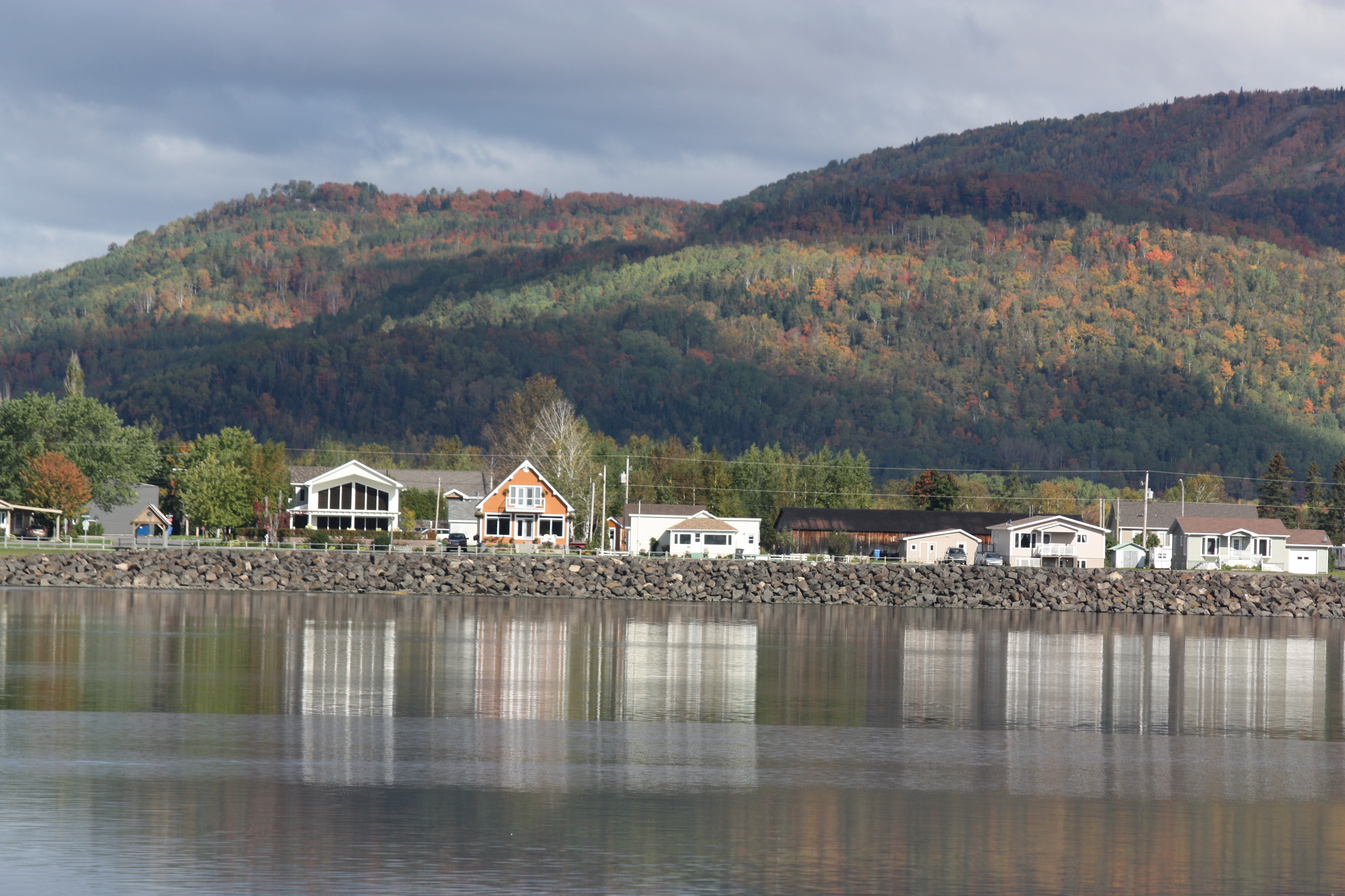
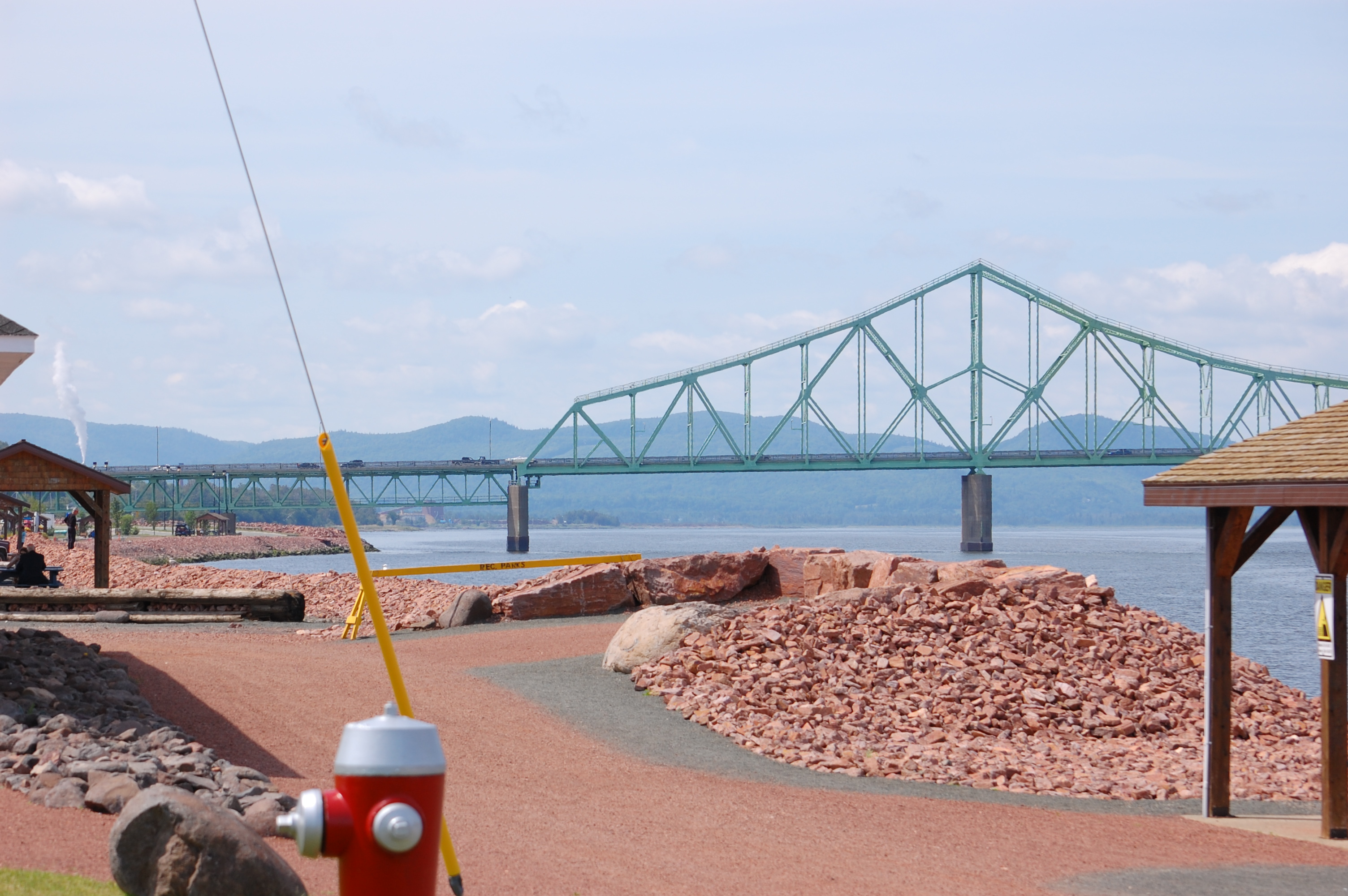
Campbellton, New Brunswick
Campbellton, New Brunswick Photo J.C. Van Horne Interprovincial Bridge Open In 1967 Between Pointe-à-la-Croix Quebec And NB

Bathurst, New Brunswick Photo Shores Of Quebec
Bathurst, New Brunswick Photo Shores Of Quebec

Stuttering clouds

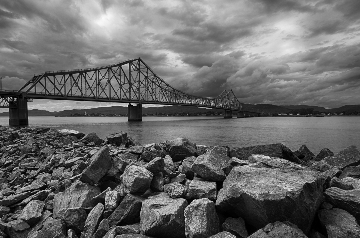
JC in Black & White
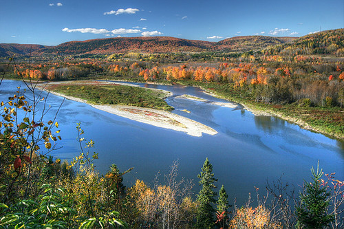
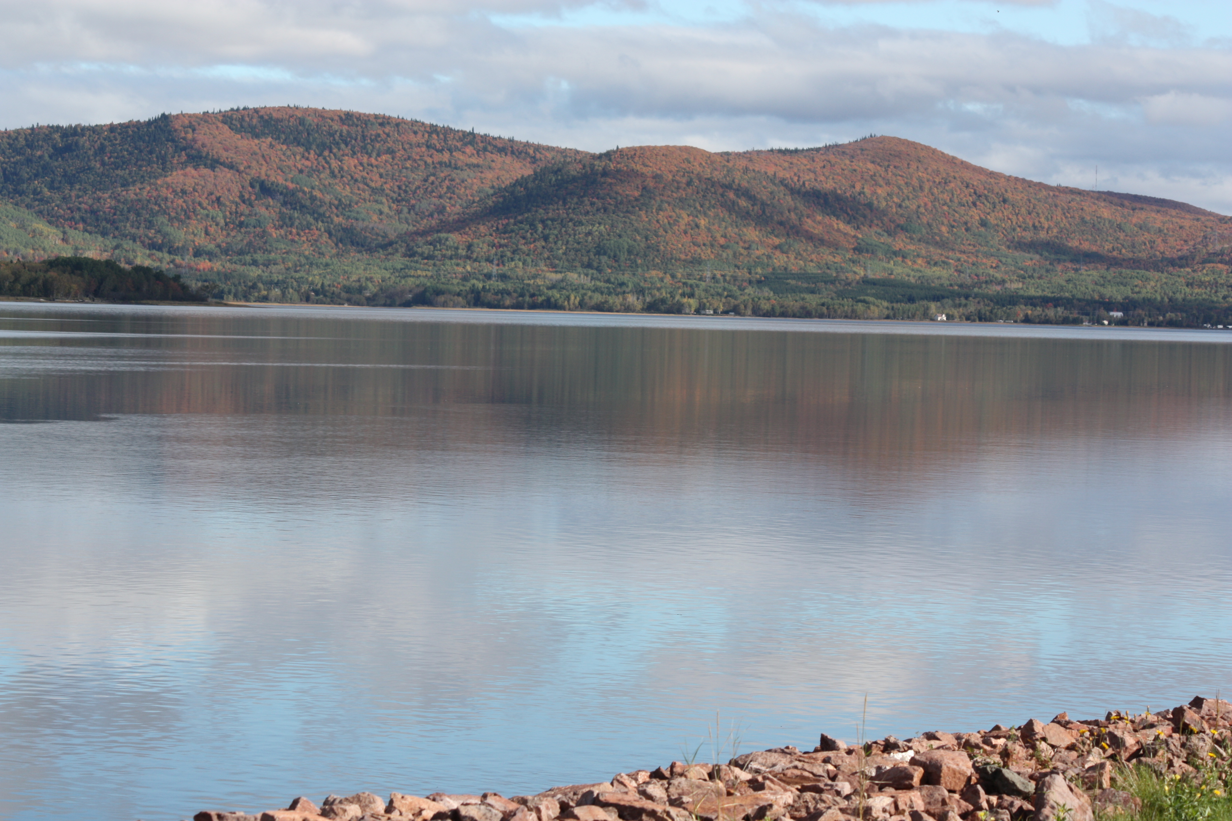
Autumn on the Restigouche
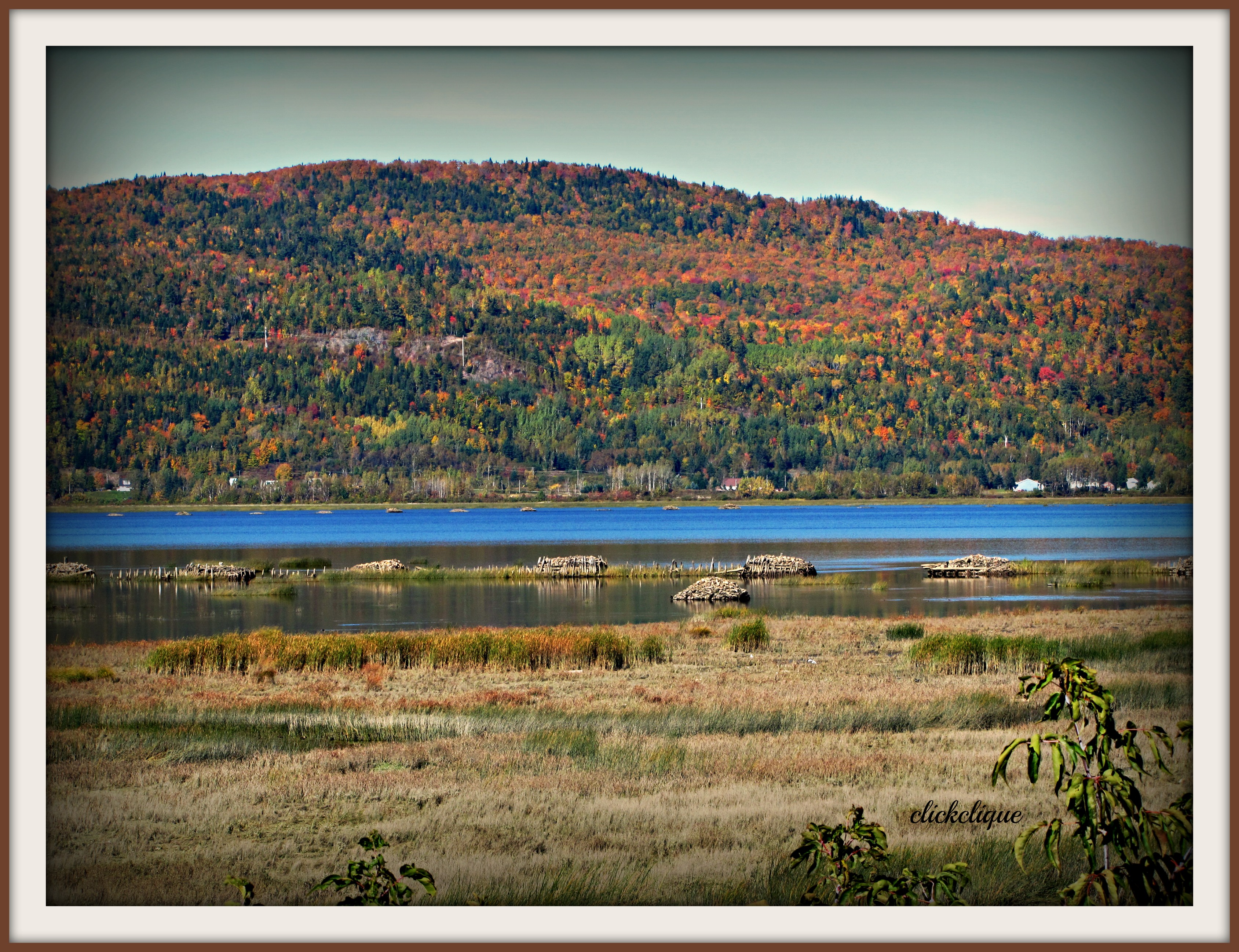
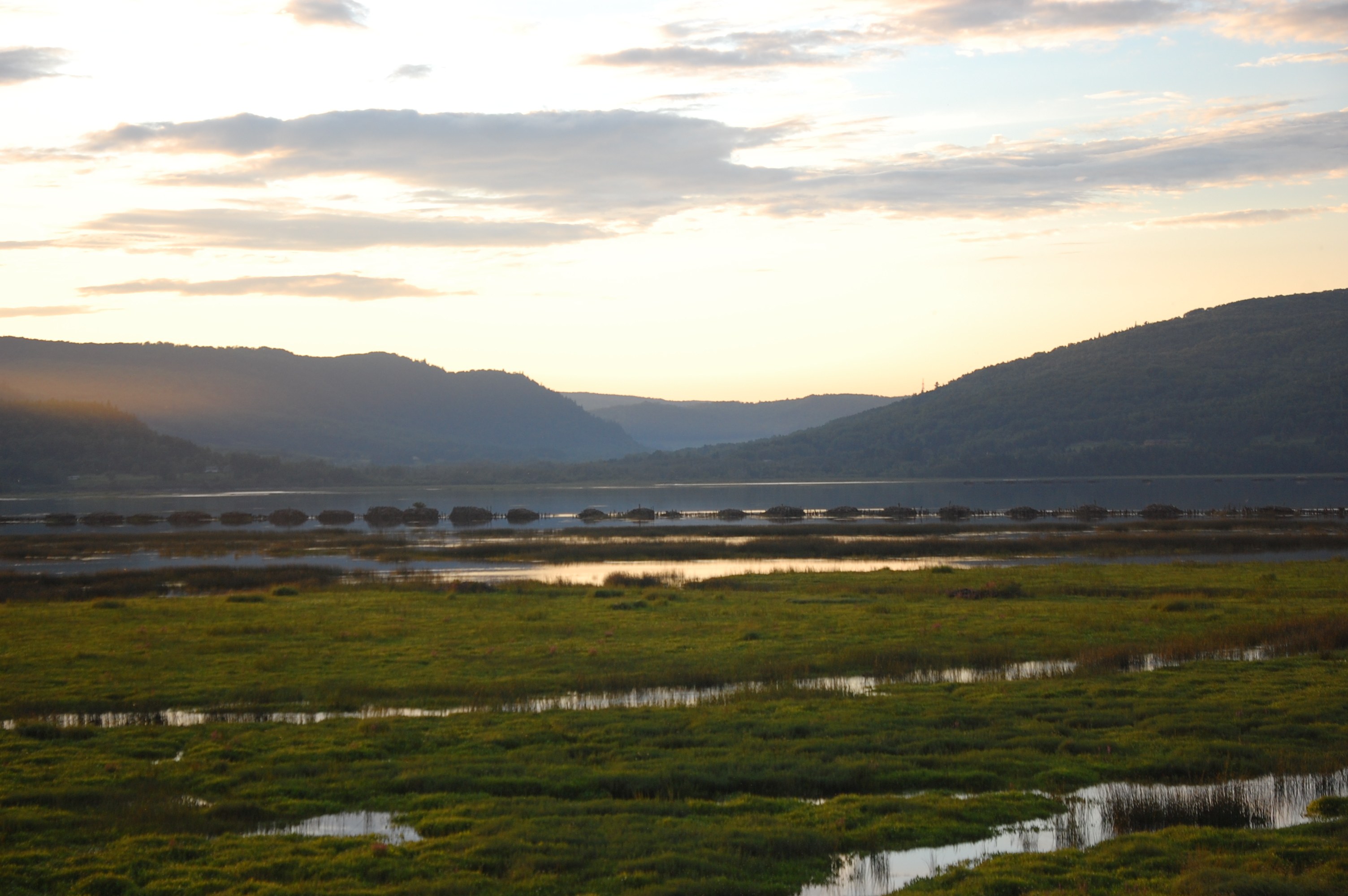
Restigouche River flood plain

0140-IMG_5_0144p
J.C. Van Horne Bridge

Les Chutes à Normand
Matapedia.

Chute Kempt
Topographic Map of NB-, Saint-Arthur, NB E3N 5S4, Canada
Find elevation by address:

Places near NB-, Saint-Arthur, NB E3N 5S4, Canada:
Saint-arthur
124 Babcock St E
92 Riverside Rd
92 Riverside Rd
92 Riverside Rd
82 Riverside Rd
88 Riverside Rd
Tide Head
14043 Nb-17
1850 Chemin Mckendrick
12 Comeau Ave
Glen Levit
Chemin McKendrick, Val-d'Amours, NB E3N 5K6, Canada
Val-d'amour
Atholville
Mckendrick
25 Savoie Ave
Upsalquitch
Squaw Cap
Sugarloaf Provincial Park
Recent Searches:
- Elevation of Corso Fratelli Cairoli, 35, Macerata MC, Italy
- Elevation of Tallevast Rd, Sarasota, FL, USA
- Elevation of 4th St E, Sonoma, CA, USA
- Elevation of Black Hollow Rd, Pennsdale, PA, USA
- Elevation of Oakland Ave, Williamsport, PA, USA
- Elevation of Pedrógão Grande, Portugal
- Elevation of Klee Dr, Martinsburg, WV, USA
- Elevation of Via Roma, Pieranica CR, Italy
- Elevation of Tavkvetili Mountain, Georgia
- Elevation of Hartfords Bluff Cir, Mt Pleasant, SC, USA