Elevation of Upsalquitch, NB E3N, Canada
Location: Canada > New Brunswick > Restigouche County > Eldon >
Longitude: -66.883494
Latitude: 47.82616
Elevation: 40m / 131feet
Barometric Pressure: 101KPa
Elevation Map:
Satellite Map:
Related Photos:

Chantal & Henri

Roxy and Josh
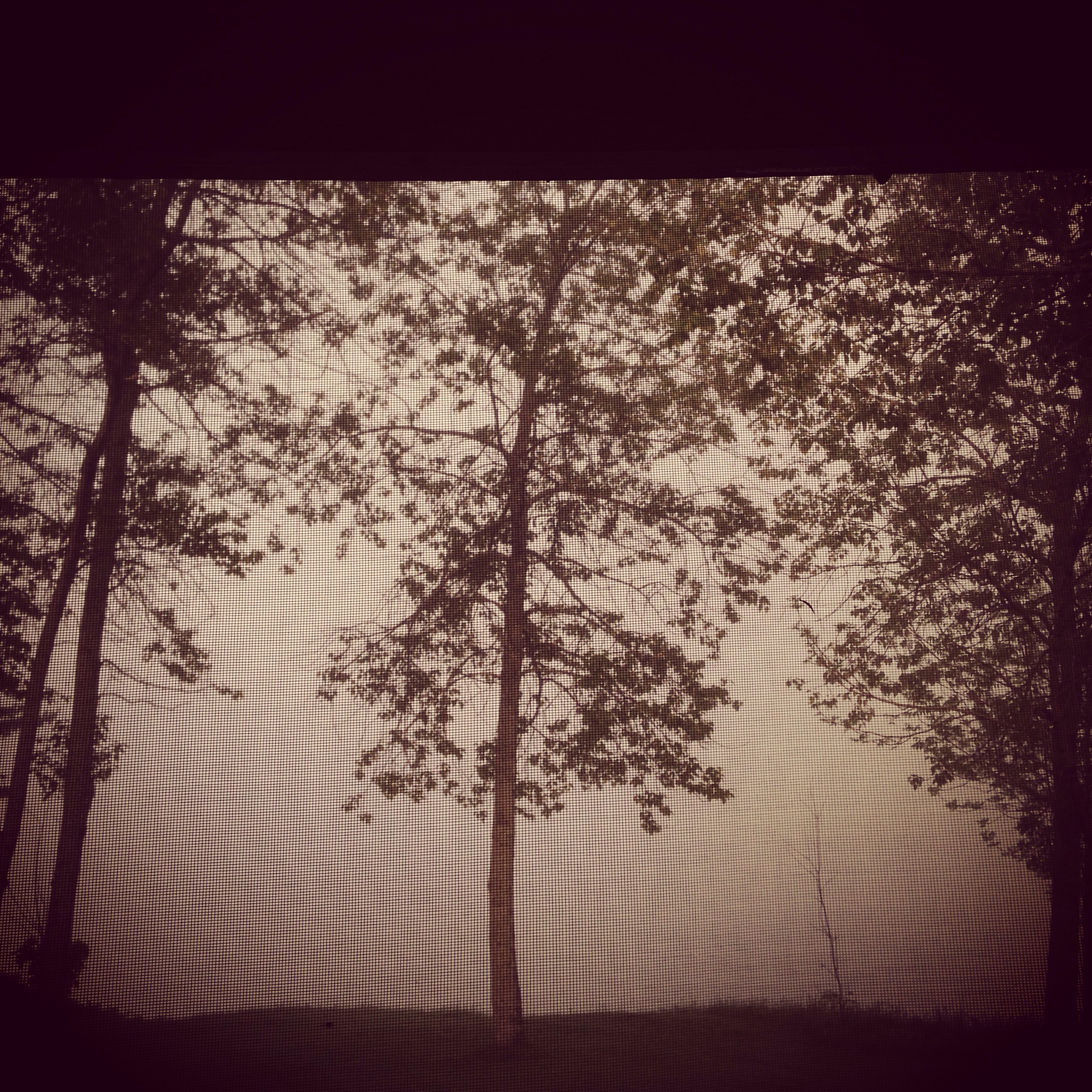
Tree Magnet
Destination Somewhere
Topographic Map of Upsalquitch, NB E3N, Canada
Find elevation by address:

Places in Upsalquitch, NB E3N, Canada:
Upsalquitch River Rd, Upsalquitch, NB E3N 6L4, Canada
Upsalquitch River Rd, Upsalquitch, NB E3N 6L8, Canada
Places near Upsalquitch, NB E3N, Canada:
Upsalquitch River Rd, Upsalquitch, NB E3N 6L4, Canada
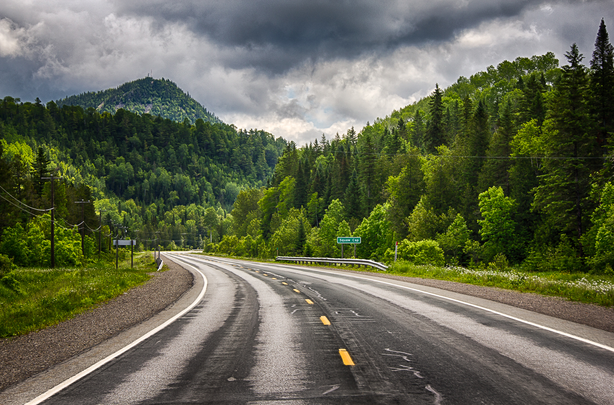
Squaw Cap
Robinsonville Rd, Robinsonville, NB E3N 6K1, Canada
Robinsonville
Murray Rd, Robinsonville, NB E3N 6H4, Canada
Wyers Brook Rd, Wyers Brook, NB E3N 6K7, Canada
NB-, Saint-Arthur, NB E3N 5S4, Canada
Glenwood
Wyers Brook
14043 Nb-17
Saint-arthur
Mann Mountain Settlement
386 Chemin Riverside
386 Chemin Riverside
386 Chemin Riverside
Glen Levit
Interprovincial Bridge
Matapédia
Tide Head
124 Babcock St E
Recent Searches:
- Elevation of Corso Fratelli Cairoli, 35, Macerata MC, Italy
- Elevation of Tallevast Rd, Sarasota, FL, USA
- Elevation of 4th St E, Sonoma, CA, USA
- Elevation of Black Hollow Rd, Pennsdale, PA, USA
- Elevation of Oakland Ave, Williamsport, PA, USA
- Elevation of Pedrógão Grande, Portugal
- Elevation of Klee Dr, Martinsburg, WV, USA
- Elevation of Via Roma, Pieranica CR, Italy
- Elevation of Tavkvetili Mountain, Georgia
- Elevation of Hartfords Bluff Cir, Mt Pleasant, SC, USA