Elevation of Wyers Brook Rd, Wyers Brook, NB E3N 6K7, Canada
Location: Canada > New Brunswick > Restigouche County > Eldon > Wyers Brook >
Longitude: -66.982440
Latitude: 47.8907
Elevation: 31m / 102feet
Barometric Pressure: 101KPa
Elevation Map:
Satellite Map:
Related Photos:
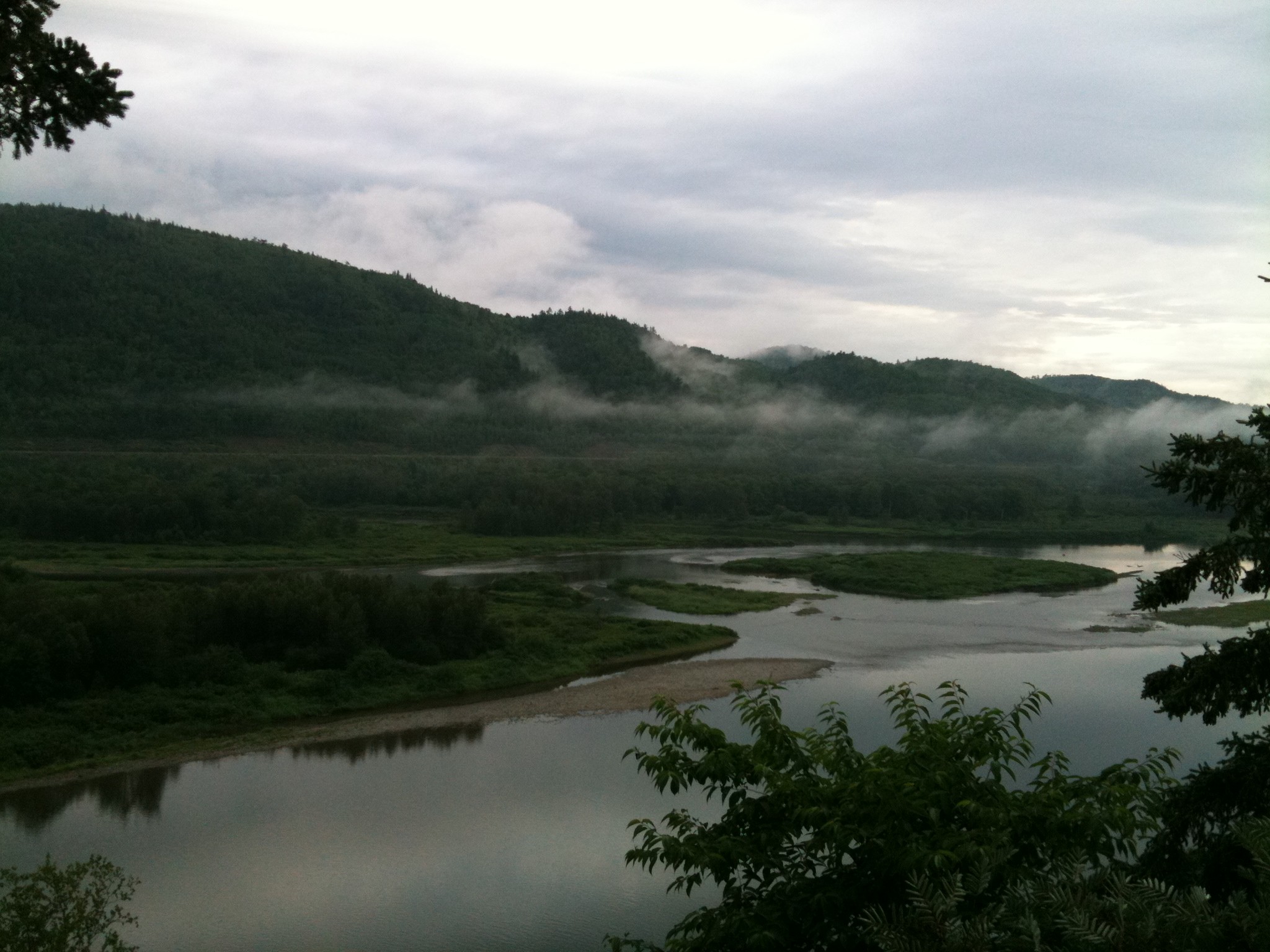
Photo
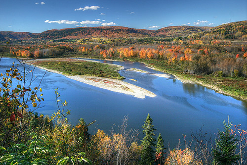
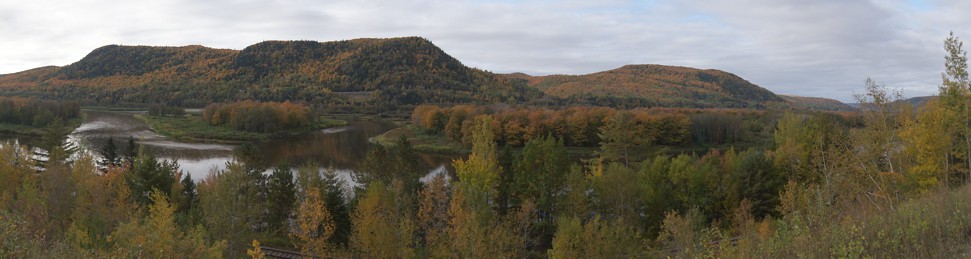
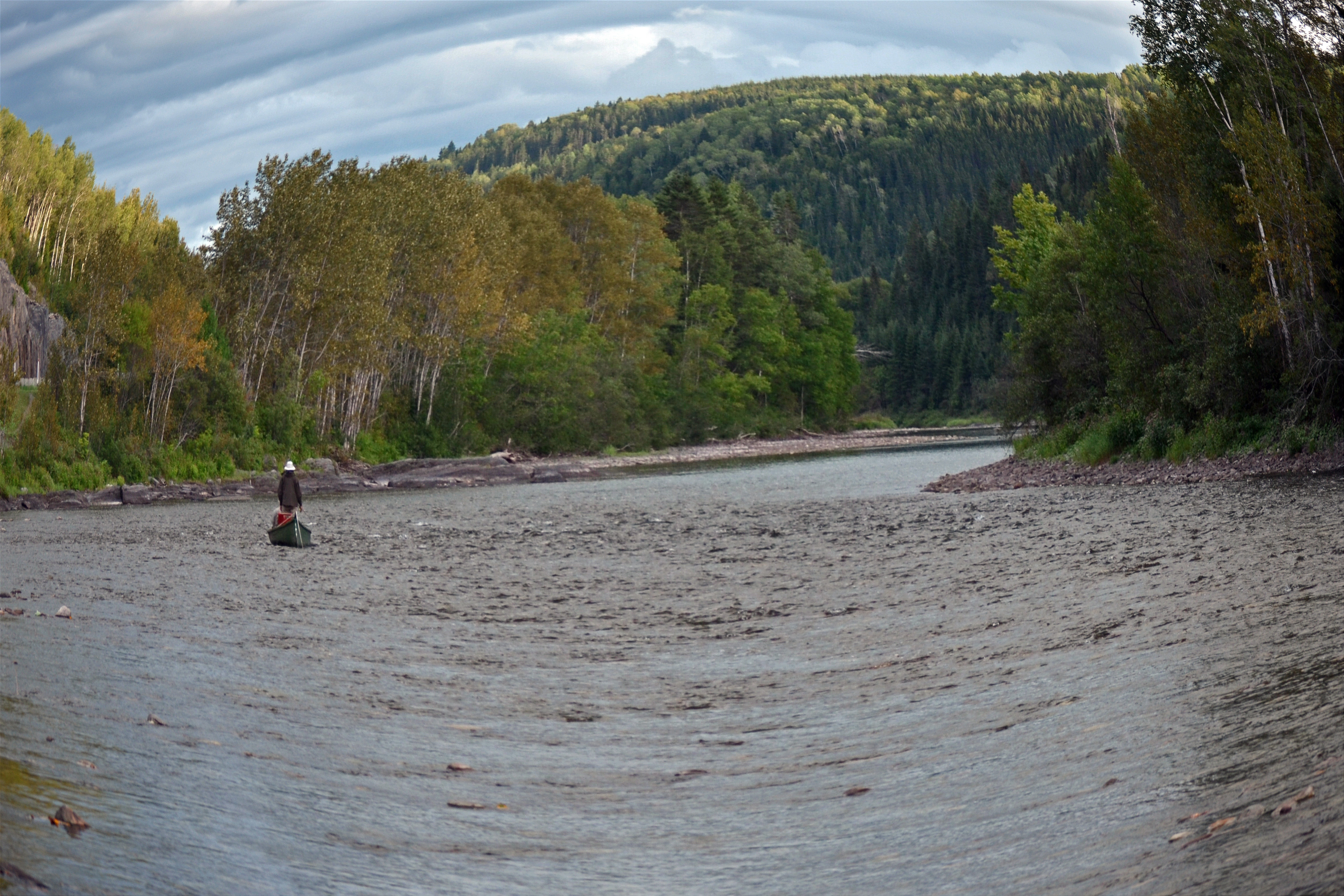
Autumn on the Restigouche

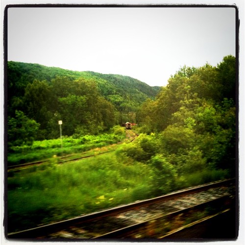
0140-IMG_5_0144p
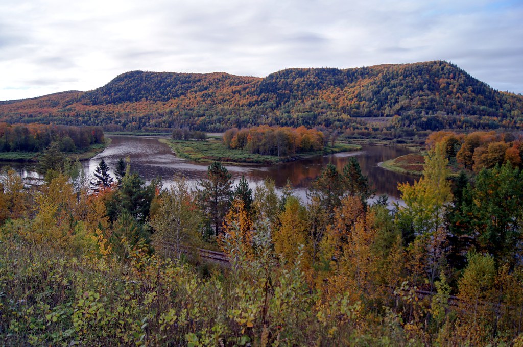
Matapedia.
Gaspe 00930 - Matapedia River
Gaspe 00940 - Matapedia River
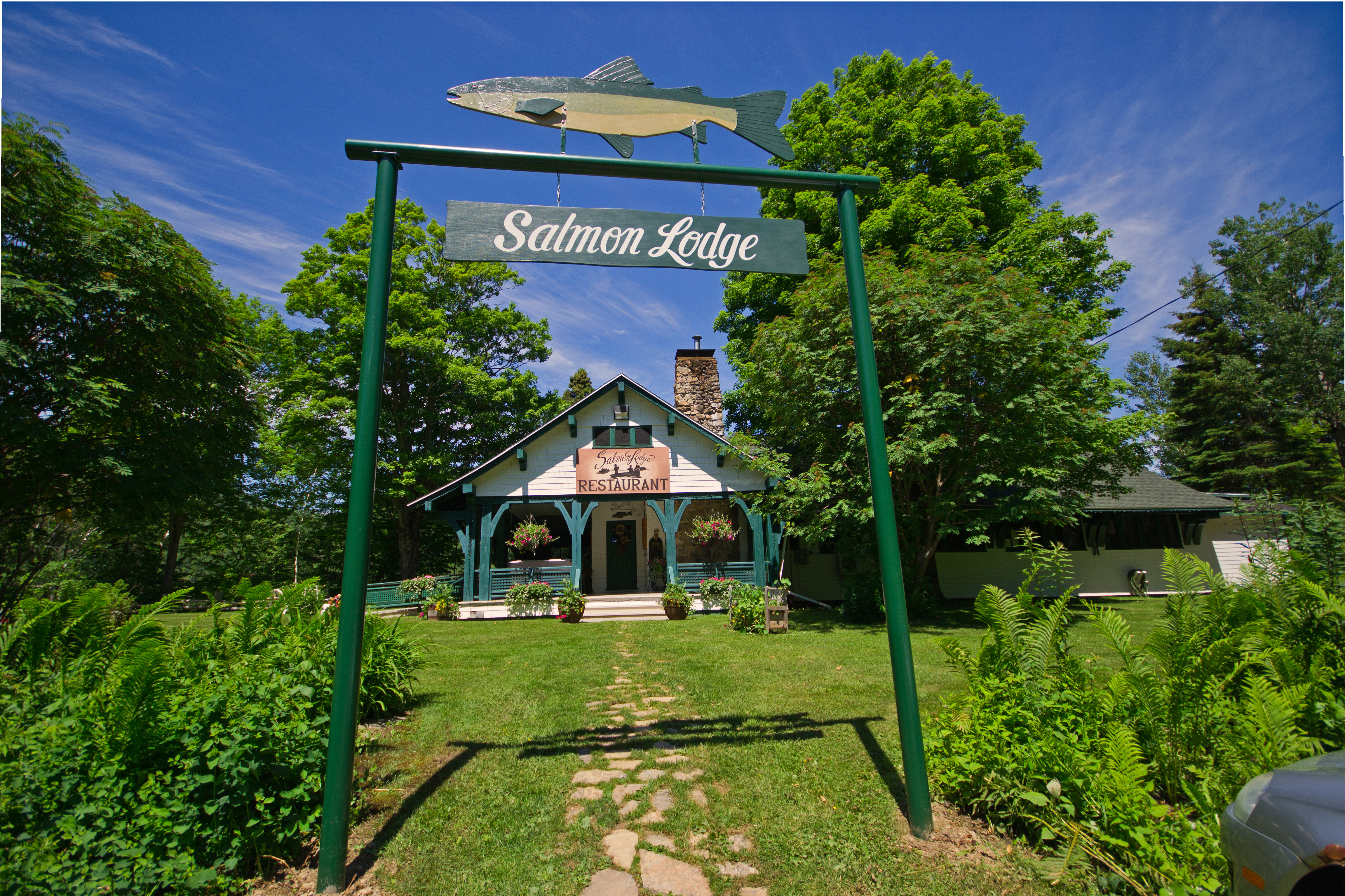
Salmon Lodge
Left: Québec; Right: New Brunswick
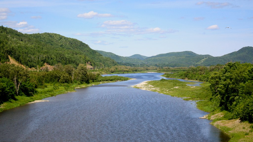
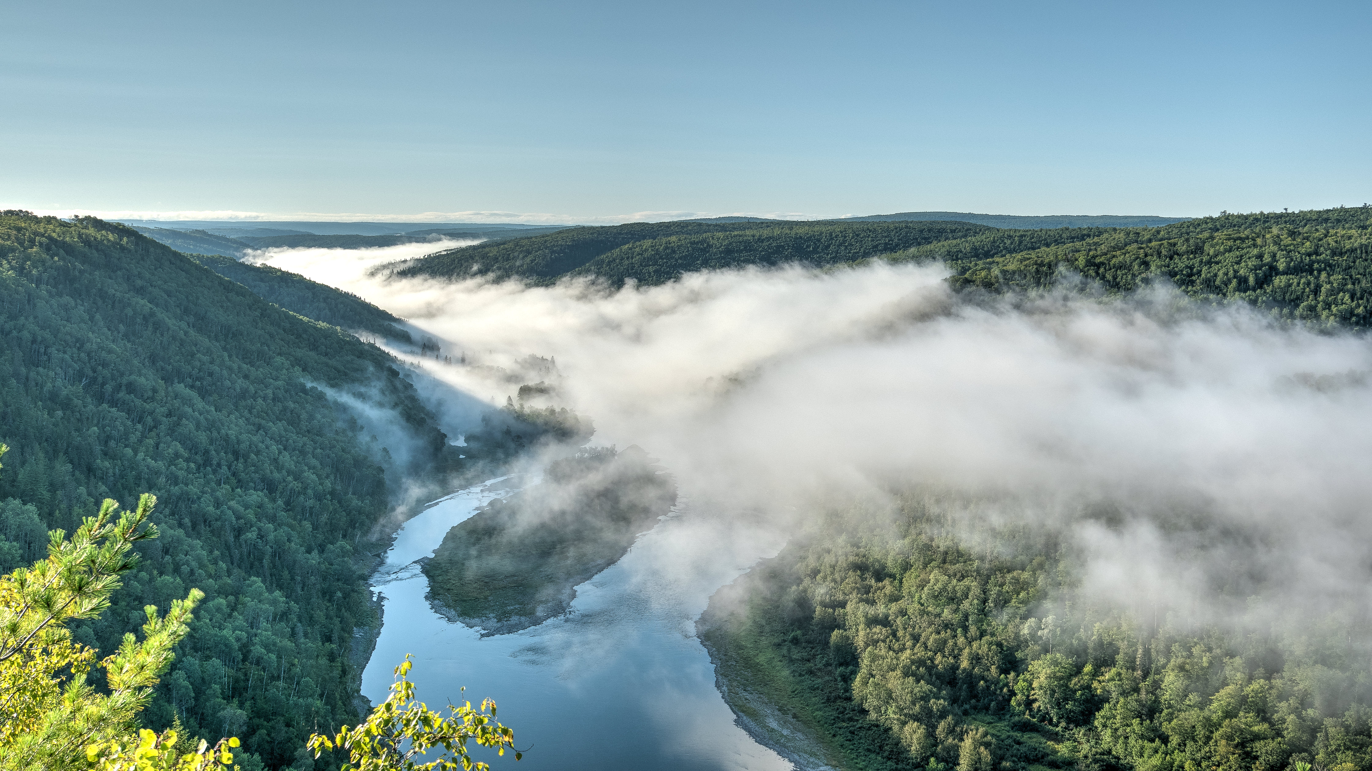
Matapédia River
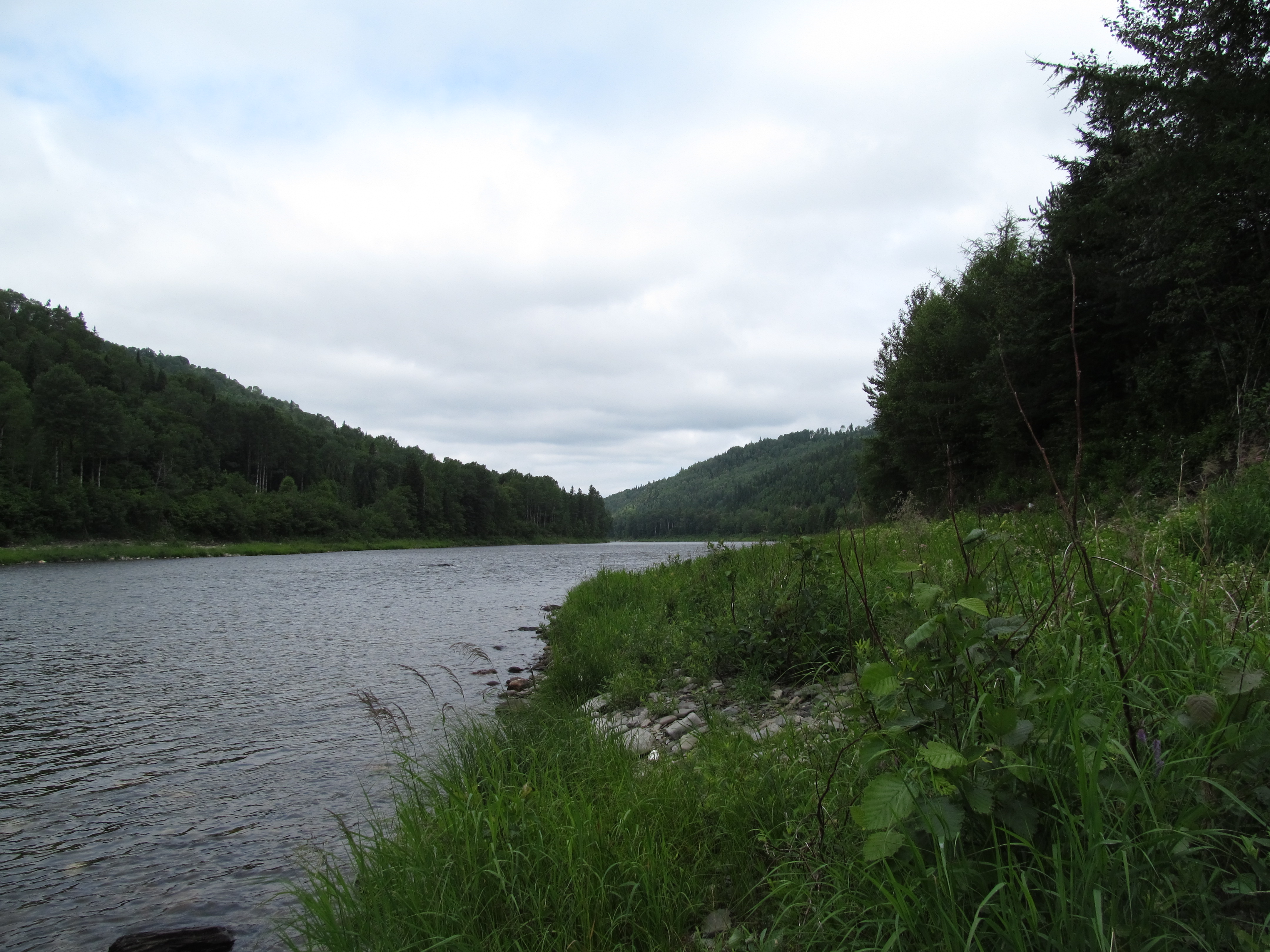
Matapédia
Horizon de Rêve

201408 - Canada Est - 0133.jpg
Topographic Map of Wyers Brook Rd, Wyers Brook, NB E3N 6K7, Canada
Find elevation by address:

Places near Wyers Brook Rd, Wyers Brook, NB E3N 6K7, Canada:
Wyers Brook
Murray Rd, Robinsonville, NB E3N 6H4, Canada
Robinsonville
Glenwood
386 Chemin Riverside
386 Chemin Riverside
386 Chemin Riverside
Robinsonville Rd, Robinsonville, NB E3N 6K1, Canada
Mann Mountain Settlement
Squaw Cap
Upsalquitch River Rd, Upsalquitch, NB E3N 6L4, Canada
Matapédia
Interprovincial Bridge
Upsalquitch
Glen Levit
14043 Nb-17
NB-, Saint-Arthur, NB E3N 5S4, Canada
Saint-arthur
Tide Head
124 Babcock St E
Recent Searches:
- Elevation of Corso Fratelli Cairoli, 35, Macerata MC, Italy
- Elevation of Tallevast Rd, Sarasota, FL, USA
- Elevation of 4th St E, Sonoma, CA, USA
- Elevation of Black Hollow Rd, Pennsdale, PA, USA
- Elevation of Oakland Ave, Williamsport, PA, USA
- Elevation of Pedrógão Grande, Portugal
- Elevation of Klee Dr, Martinsburg, WV, USA
- Elevation of Via Roma, Pieranica CR, Italy
- Elevation of Tavkvetili Mountain, Georgia
- Elevation of Hartfords Bluff Cir, Mt Pleasant, SC, USA