Elevation of Babcock St E, Tide Head, NB E3N 4K9, Canada

Location: Canada > New Brunswick > Restigouche County > Tide Head >

Longitude: -66.772710

Latitude: 47.9823239

Elevation: 16m / 52feet

Barometric Pressure: 101KPa

Elevation Map:

elevation map of Babcock St E, Tide Head, NB E3N 4K9, Canada

Satellite Map:

Satellite map of Babcock St E, Tide Head, NB E3N 4K9, Canada

Related Photos:

summer2011
Tide Head, N.B Boom road
canada quebec newbrunswick campbellton pointealacroix
Pointe-à-la-Croix, Quebec
canada view quebec newbrunswick campbellton pointealacroix
Pointe-à-la-Croix, Quebec
panorama geotagged spring newbrunswick sugarloaf campbellton geolat47992573 geolon66690960 regionnewbrunsick atholville
Sugarloaf, Campbellton NB
river restigoucheriver nouveaubrunswick parkscanada nationalhistoricsiteofcanada battleoftherestigouchenationalhistoricsiteofcanada pointeàlacroix gaspésie canada québec avignon lieuhistoriquenationalducanada parcscanada lieuhistoriquenationaldelabatailledelaristigouche
Restigouche River
summer2011
Campbellton, N.B, Van horne bridge
fall river colours newbrunswick floodplain atholville moubtains naturescarousel travelpilgrems
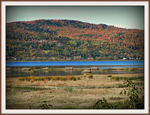
Restigouche River flood plain
canada gaspésie bonaventure
Canada, au Québec, le viaduc Van Horne Bridge sur la Rivière Restigouche
bridge canada nb newbrunswick québec nouveaubrunswick pont qc campbellton
Campbellton, New Brunswick
fog mist rain mountains church trees river restigouche quebec shrubs orange red fall green sky listuguj forest tree water landscape cans2s
Rain and mist over the mountains and Church across the Restigouche River in Listuguj, Quebec from Atholville, New Brunswick
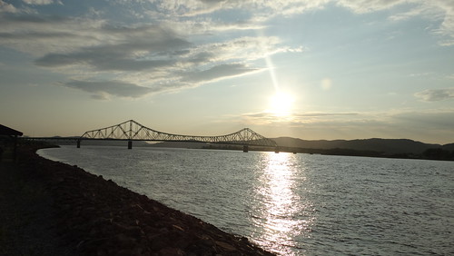
sociétéduchemindeferdelagaspésie sfg sfg1819 mlw montreallocomotiveworks alco rs18 winter snow matapedia restigoucheriver
Coming around a bend
bridge blackandwhite canada clouds quebec nb newbrunswick qc campbellton pointeàlacroix jcvanhornebridge
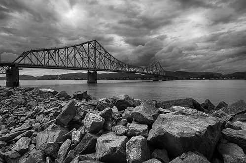
J.C. Van Horne Bridge
newbrunswickphoto jcvanhorneinterprovincialbridgeopen1967betweenpointeàlacroixquebecandnb campbelltonphoto
Campbellton, New Brunswick Photo J.C. Van Horne Interprovincial Bridge Open In 1967 Between Pointe-à-la-Croix Quebec And NB
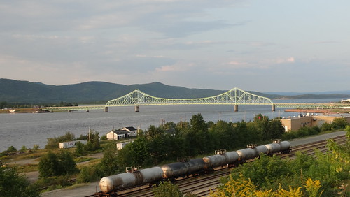
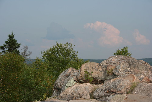
canada quebec newbrunswick campbellton pointealacroix
Pointe-à-la-Croix, Quebec
park new mountain canada forest brunswick trail sugarloaf provincial
Summit Trail
newbrunswickphoto jcvanhorneinterprovincialbridgeopen1967betweenpointeàlacroixquebecandnb railwayyard campbelltonphoto
Campbellton, New Brunswick Photo J.C. Van Horne Interprovincial Bridge Open In 1967 Between Pointe-à-la-Croix Quebec And NB
newbrunswickphoto jcvanhorneinterprovincialbridgeopen1967betweenpointeàlacroixquebecandnb campbelltonphoto
Campbellton, New Brunswick Photo J.C. Van Horne Interprovincial Bridge Open In 1967 Between Pointe-à-la-Croix Quebec And NB
toronto june square squareformat viarail nxne onthefly 2011 lomofi iphoneography instagramapp uploaded:by=instagram nxne2011 foursquare:venue=4de05b1f22713271e2b2ef80 northbynortheast2011 r3nxne
Matapedia.
newbrunswickphoto shoresofquebec campbelltonphoto
Bathurst, New Brunswick Photo Shores Of Quebec
canada 120 film mediumformat geotagged quebec panoramic filmscan 21panoramic 6x12 horseman612 horseman6x12 geo:lat=48000633 geo:lon=66698337 horseman6x12panoramiccamera
Looking Across the Bay and Backward in Time(?)
Left: Québec; Right: New Brunswick
canada landscape nikon nouveaubrunswick paysages salmonlodge
Salmon Lodge
newbrunswickphoto shoresofquebec campbelltonphoto
Bathurst, New Brunswick Photo Shores Of Quebec
newbrunswickphoto lookingatquebec campbelltonphoto
Campbellton, New Brunswick Photo Looking At Quebec
park new mountain canada forest brunswick trail sugarloaf provincial
Summit Trail