Elevation of 12 Comeau Ave, Atholville, NB E3N 4G1, Canada
Location: Canada > New Brunswick > Restigouche County > Atholville >
Longitude: -66.735066
Latitude: 47.9881968
Elevation: 0m / 0feet
Barometric Pressure: 101KPa
Elevation Map:
Satellite Map:
Related Photos:

Pointe-à-la-Croix, Quebec

Sugarloaf, Campbellton NB

Restigouche River
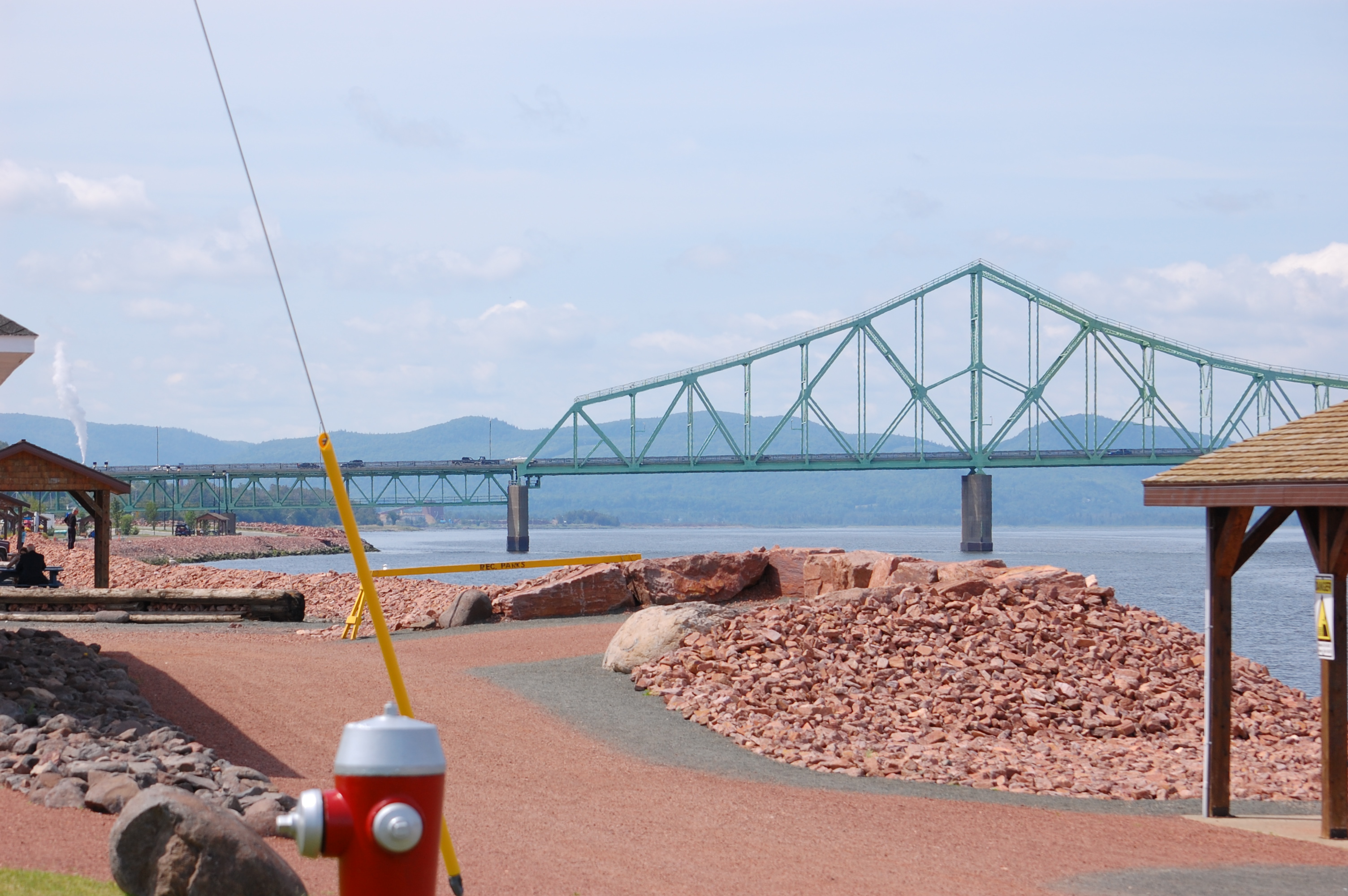
Campbellton, N.B, Van horne bridge
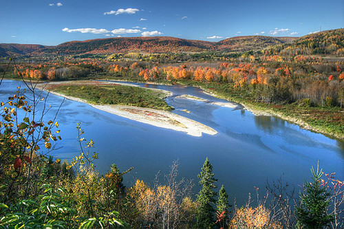
Autumn on the Restigouche

Looking Across the Bay and Backward in Time(?)

Salmon Lodge

Restigouche River flood plain

Canada, au Québec, le viaduc Van Horne Bridge sur la Rivière Restigouche

J.C. Van Horne Bridge

Campbellton, New Brunswick
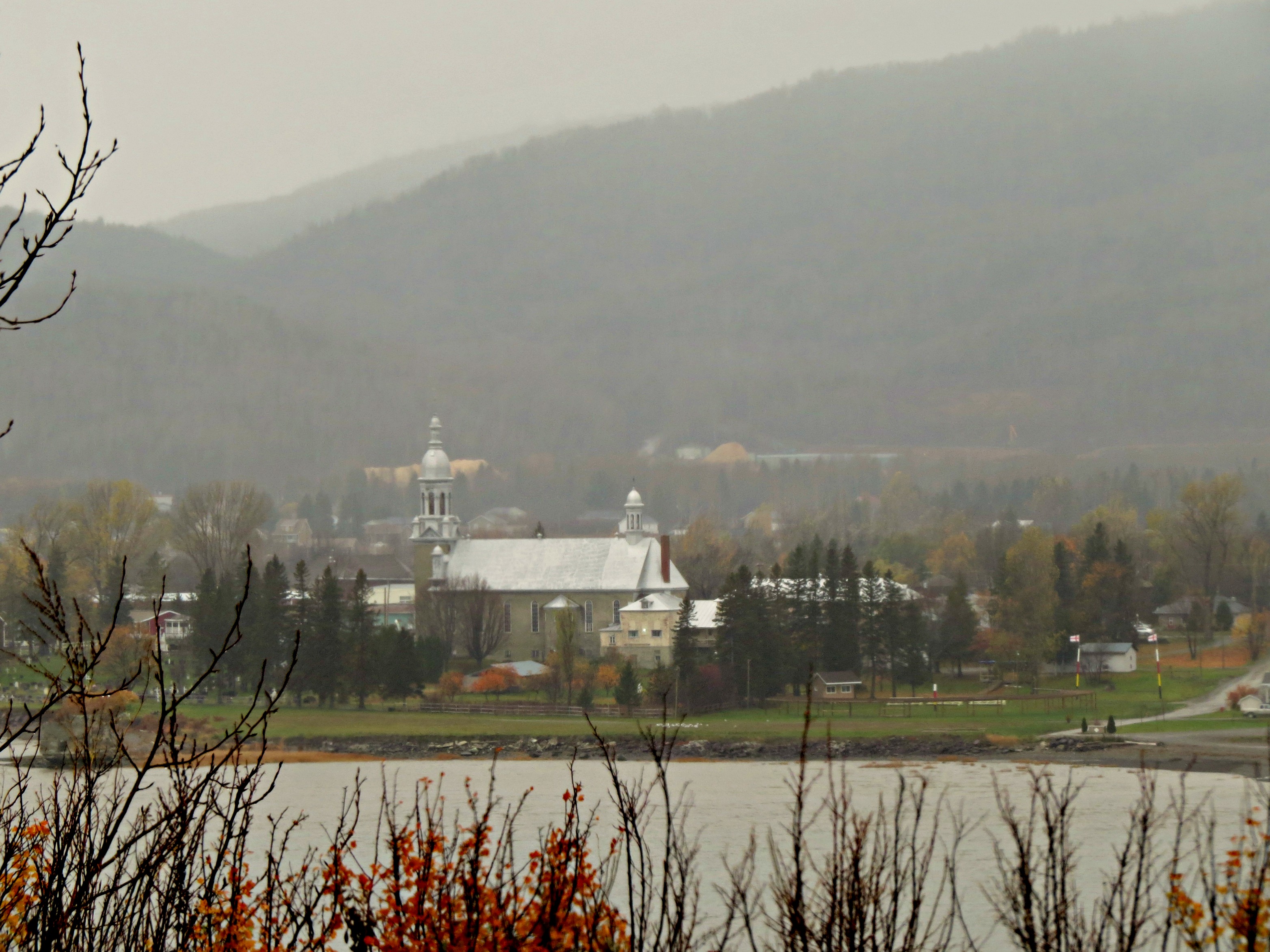
Rain and mist over the mountains and Church across the Restigouche River in Listuguj, Quebec from Atholville, New Brunswick

Coming around a bend
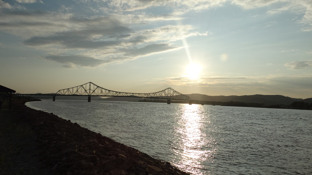
Campbellton, New Brunswick Photo J.C. Van Horne Interprovincial Bridge Open In 1967 Between Pointe-à-la-Croix Quebec And NB

IMG_6240 Les prés de Baie au Chêne, Pointe-à-la-Croix

Looking across the River to Quebec

Restigouche River

Pointe-à-la-Croix, Quebec

Campbellton, New Brunswick Photo J.C. Van Horne Interprovincial Bridge Open In 1967 Between Pointe-à-la-Croix Quebec And NB

Campbellton, New Brunswick Photo J.C. Van Horne Interprovincial Bridge Open In 1967 Between Pointe-à-la-Croix Quebec And NB

Bathurst, New Brunswick Photo Shores Of Quebec

Matapedia.

Bathurst, New Brunswick Photo Shores Of Quebec
Topographic Map of 12 Comeau Ave, Atholville, NB E3N 4G1, Canada
Find elevation by address:

Places near 12 Comeau Ave, Atholville, NB E3N 4G1, Canada:
Atholville
25 Savoie Ave
88 Riverside Rd
92 Riverside Rd
92 Riverside Rd
92 Riverside Rd
82 Riverside Rd
124 Babcock St E
Tide Head
Pointe-à-la-croix
E3n 2k4
Sugarloaf Provincial Park
Val-d'amour
Sugarloaf Senior High School
Campbellton
7 Patterson St
Pointe-à-la-croix
King Street
1850 Chemin Mckendrick
Chemin McKendrick, Val-d'Amours, NB E3N 5K6, Canada
Recent Searches:
- Elevation of Corso Fratelli Cairoli, 35, Macerata MC, Italy
- Elevation of Tallevast Rd, Sarasota, FL, USA
- Elevation of 4th St E, Sonoma, CA, USA
- Elevation of Black Hollow Rd, Pennsdale, PA, USA
- Elevation of Oakland Ave, Williamsport, PA, USA
- Elevation of Pedrógão Grande, Portugal
- Elevation of Klee Dr, Martinsburg, WV, USA
- Elevation of Via Roma, Pieranica CR, Italy
- Elevation of Tavkvetili Mountain, Georgia
- Elevation of Hartfords Bluff Cir, Mt Pleasant, SC, USA