Elevation of 88 Riverside Rd, Tide Head, NB E3N 4G7, Canada
Location: Canada > New Brunswick > Restigouche County > Tide Head >
Longitude: -66.770974
Latitude: 47.98481
Elevation: 0m / 0feet
Barometric Pressure: 101KPa
Elevation Map:
Satellite Map:
Related Photos:
Tide Head, N.B Boom road
Pointe-à-la-Croix, Quebec
Pointe-à-la-Croix, Quebec
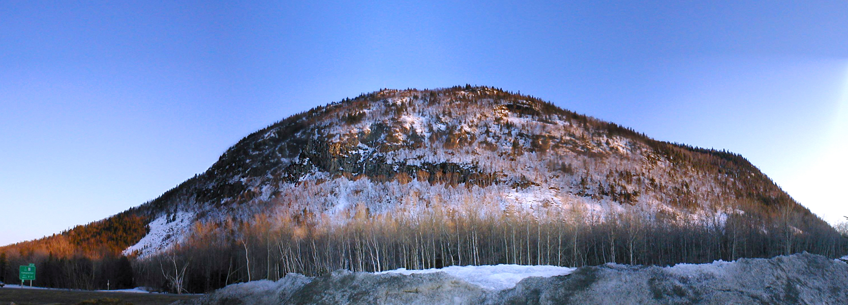
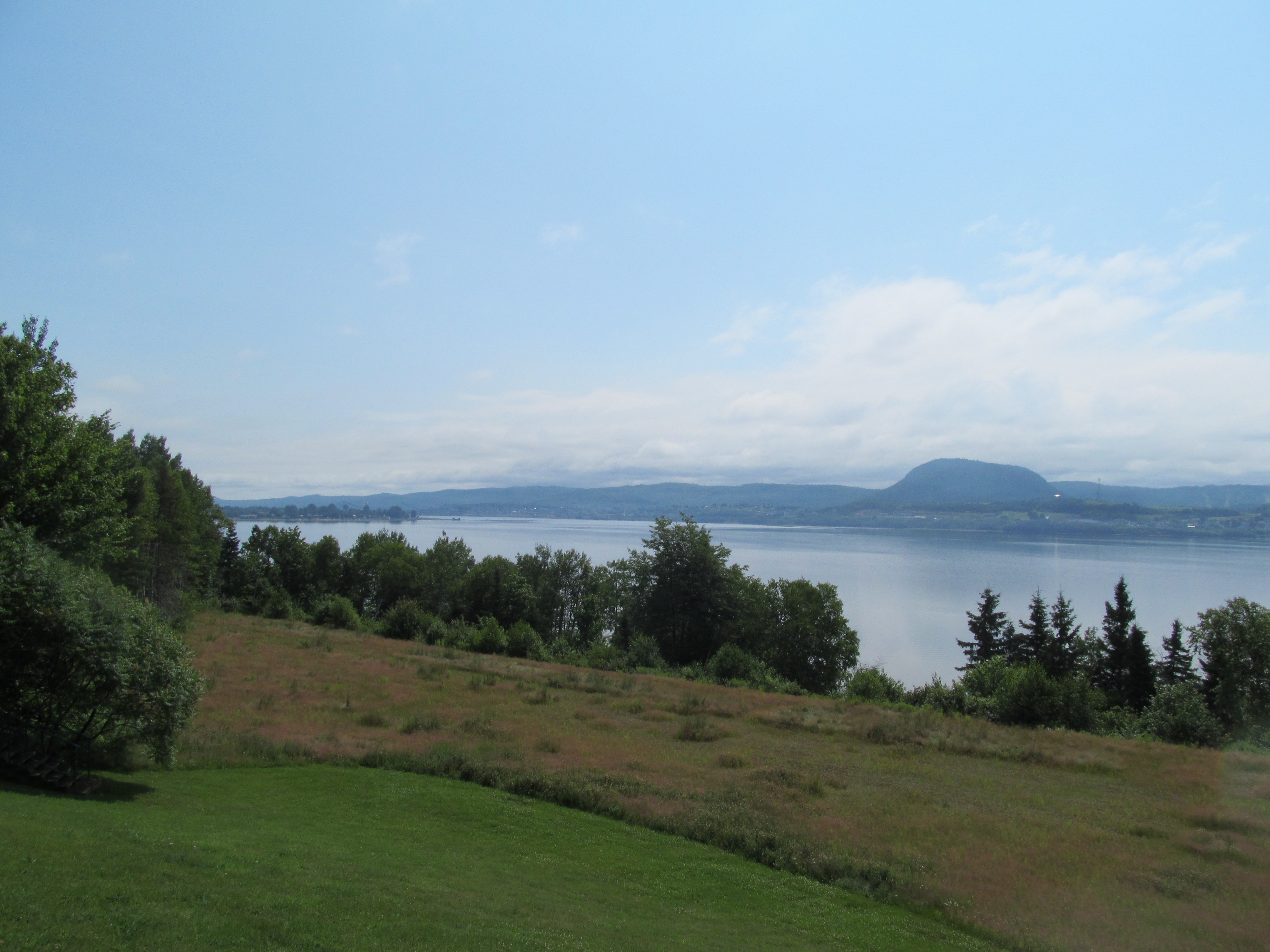
Sugarloaf, Campbellton NB
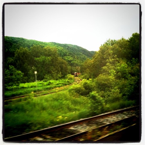
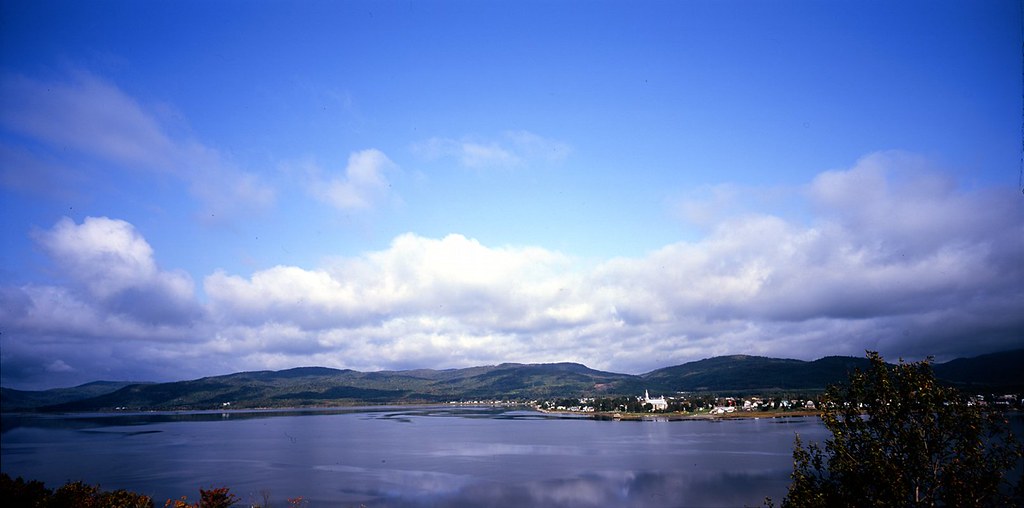
Restigouche River
Campbellton, N.B, Van horne bridge
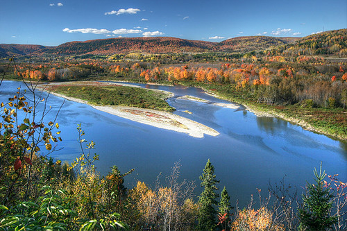
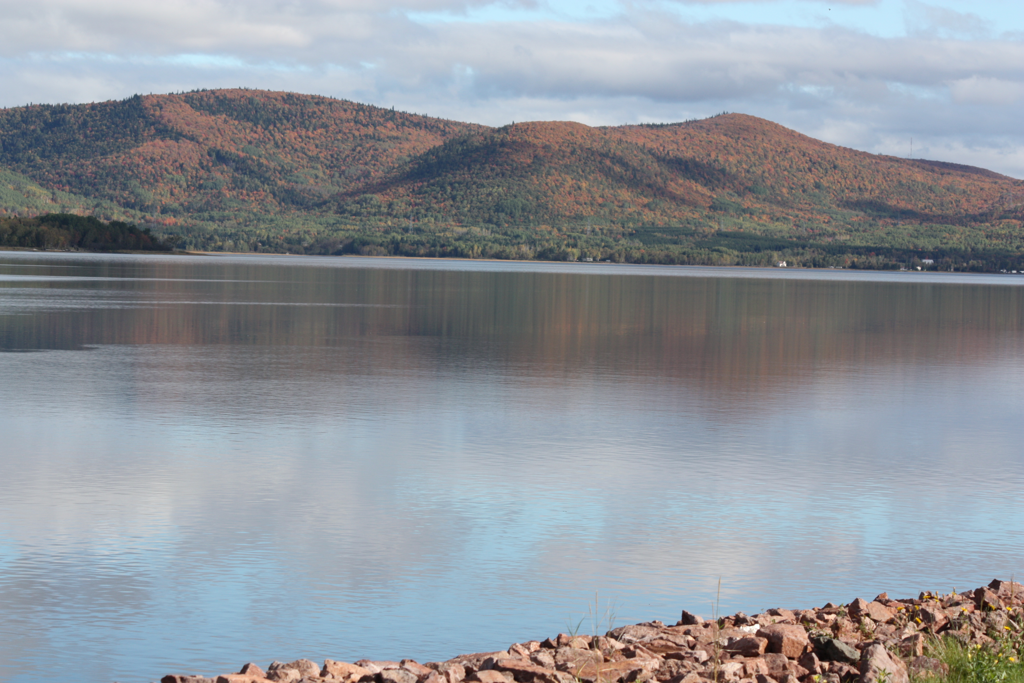
Autumn on the Restigouche
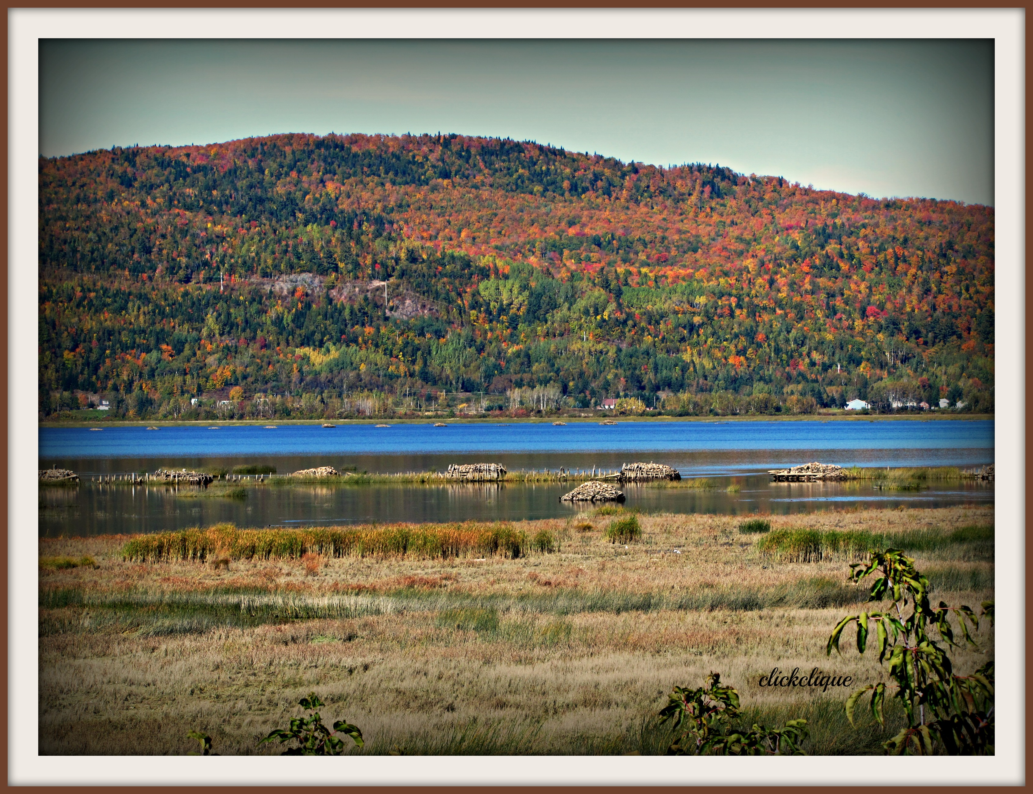
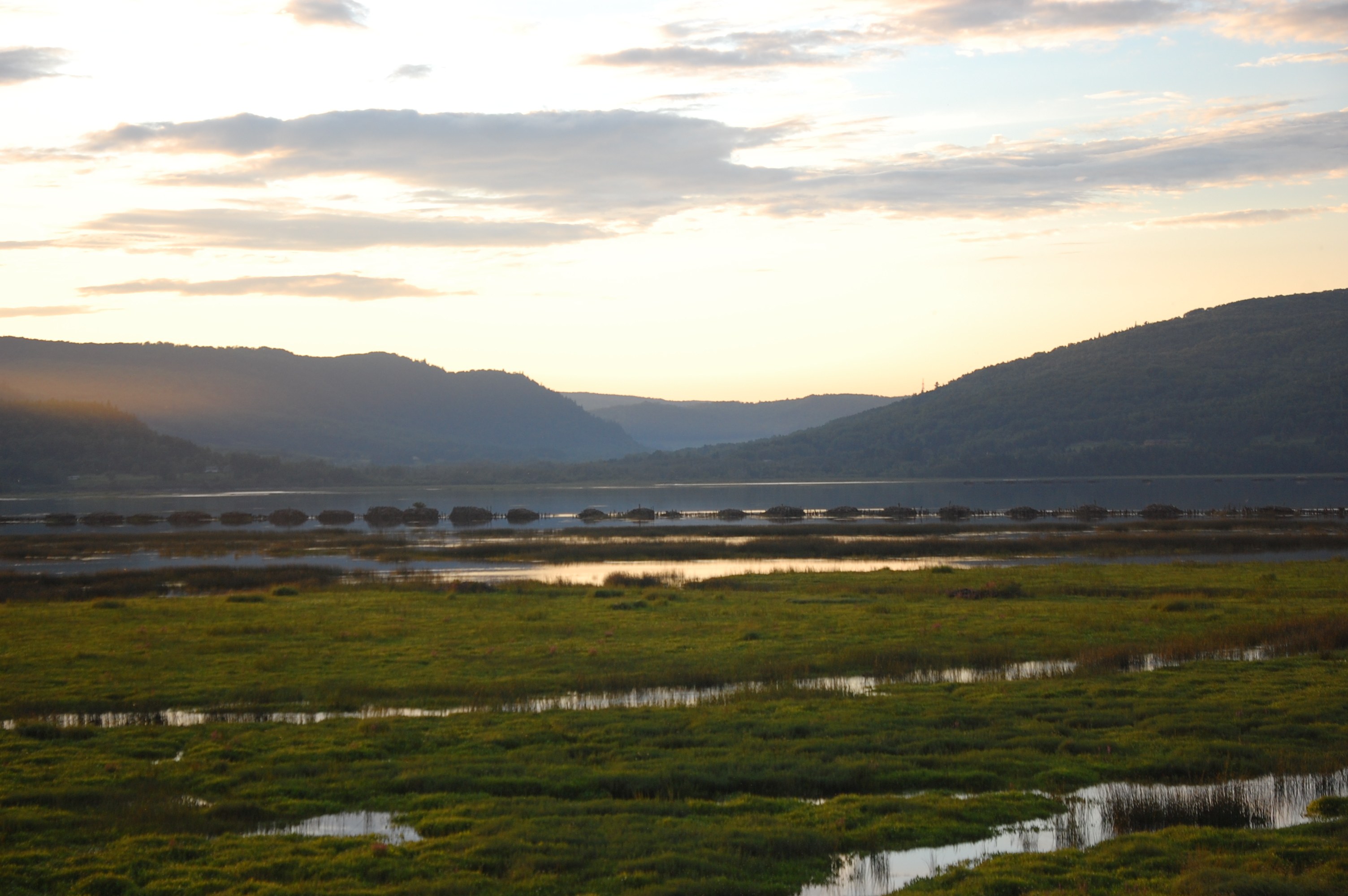
Restigouche River flood plain
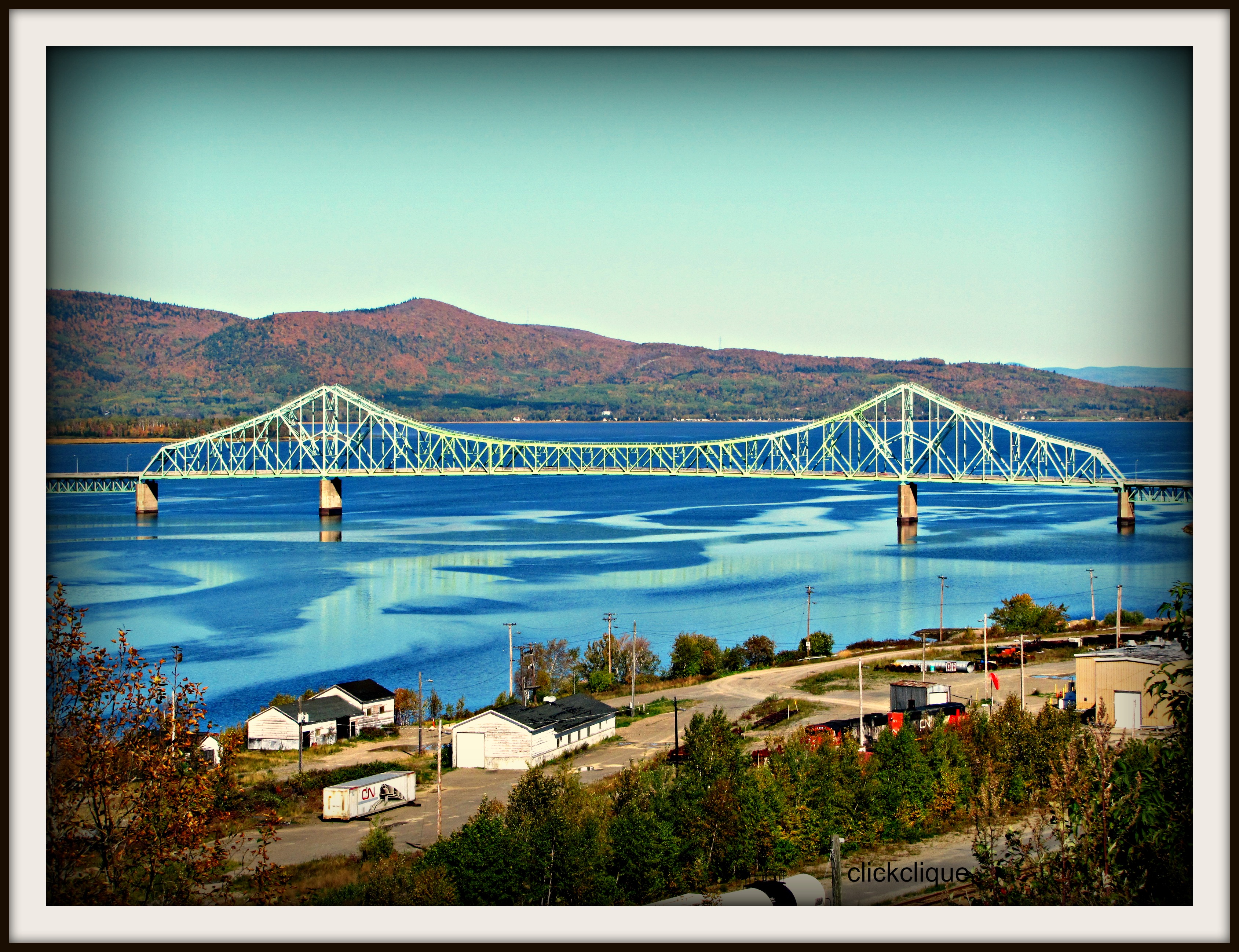
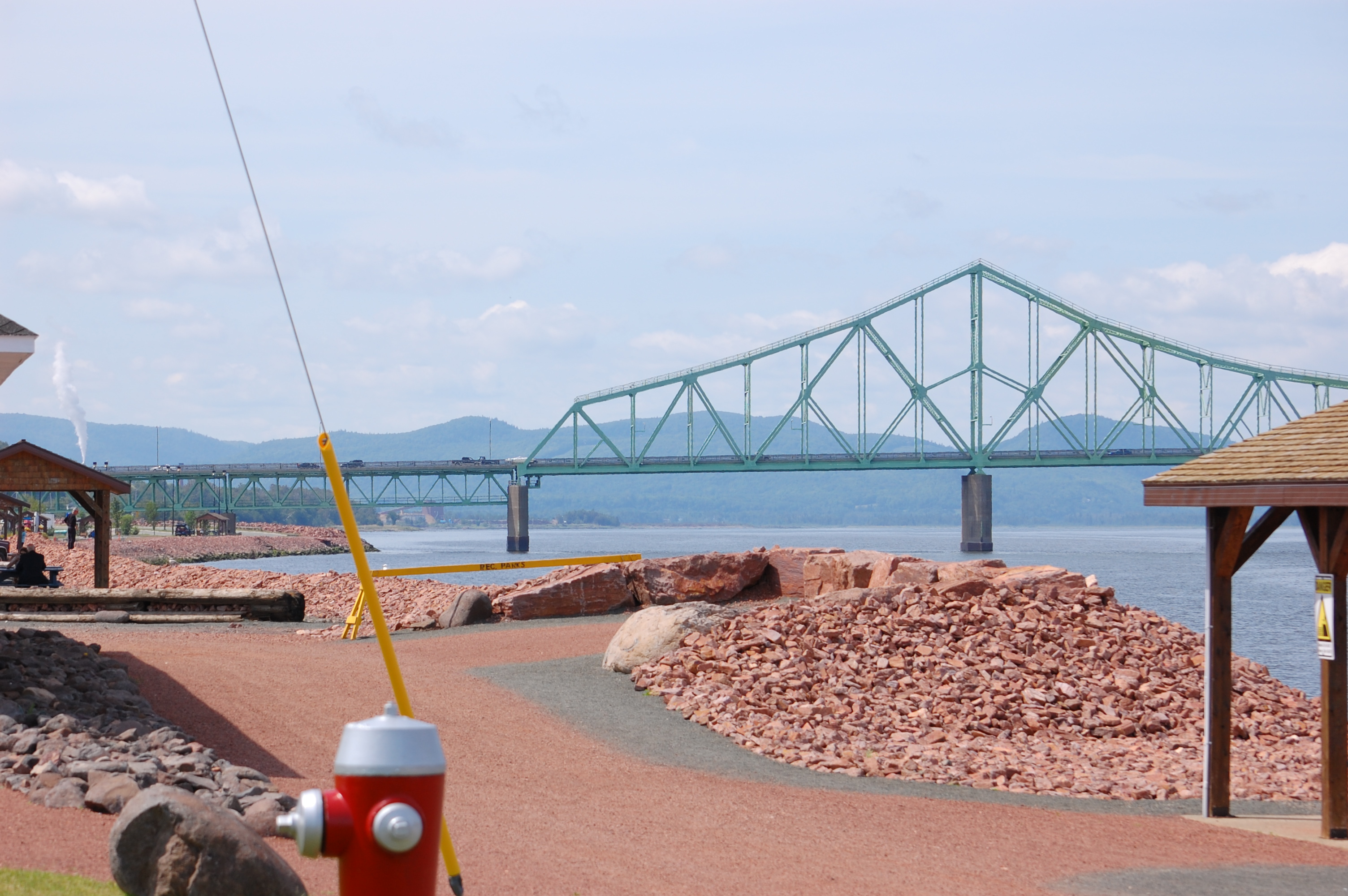
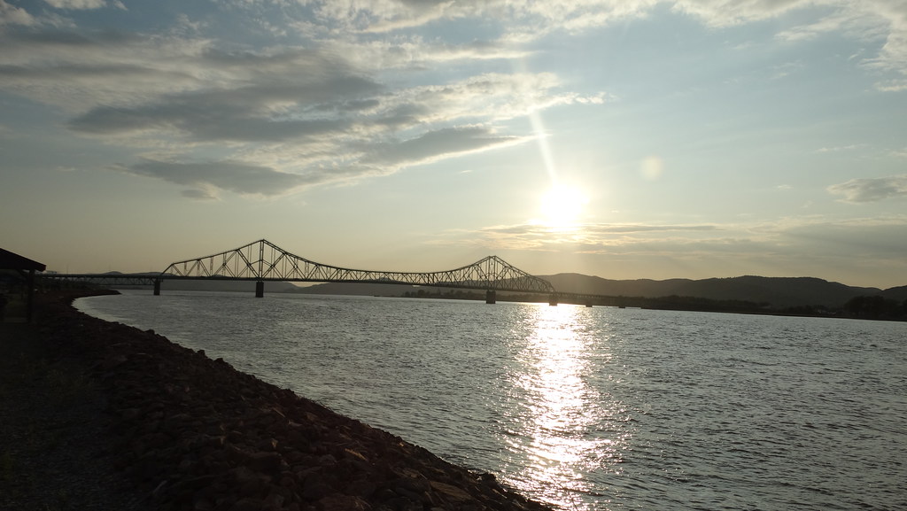
J.C. Van Horne Bridge

0140-IMG_5_0144p

Broken Pier Sunset

Lifting fog on the Restigouche

J.C. Van Horne Bridge

Les Chutes à Normand
Matapedia.

Verger Pomme en fête
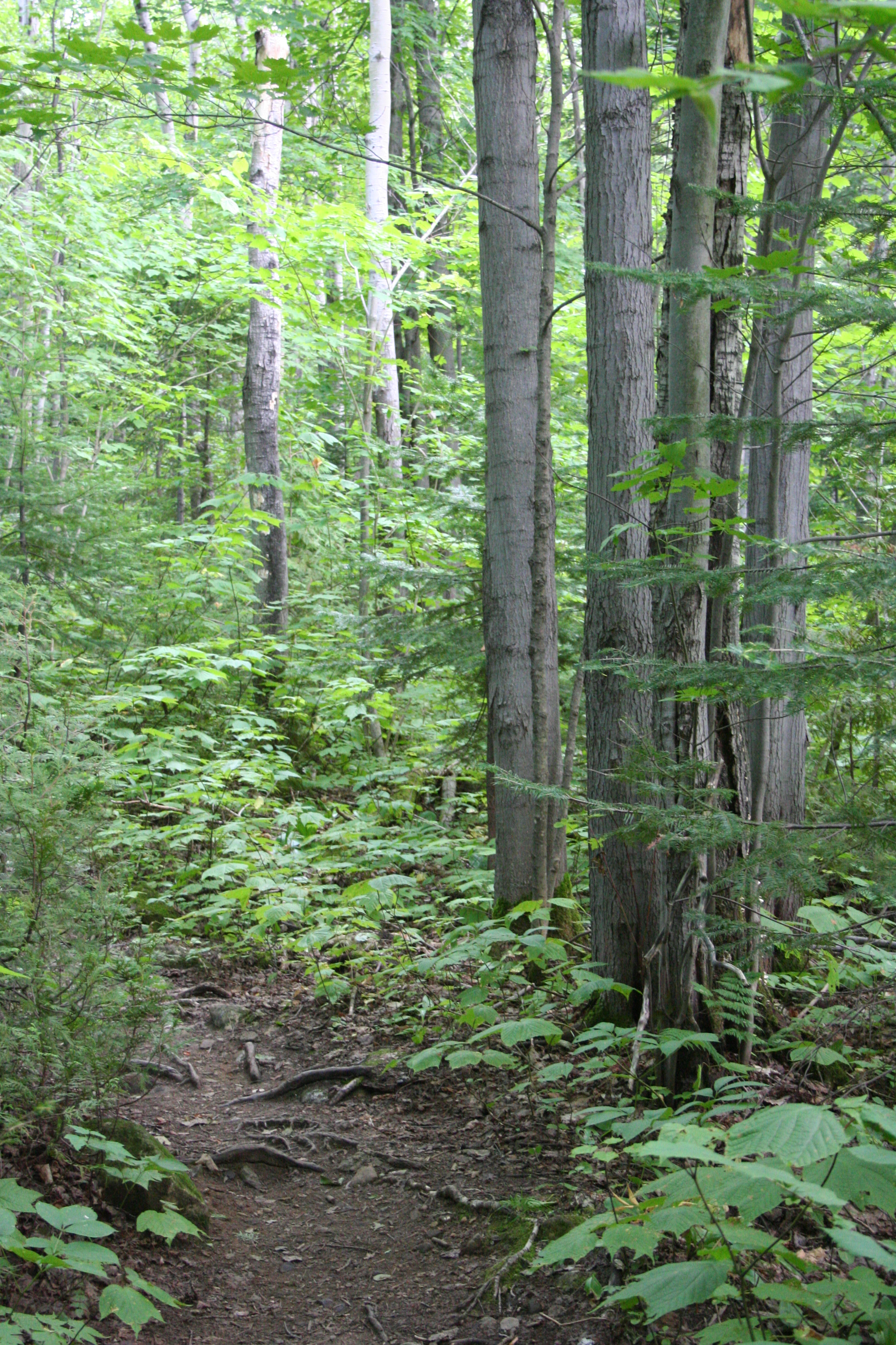
Summit Trail

Chute Kempt

Fog on the J.C. Van Horne

Pointe-à-la-Croix, Quebec

JC in Colour

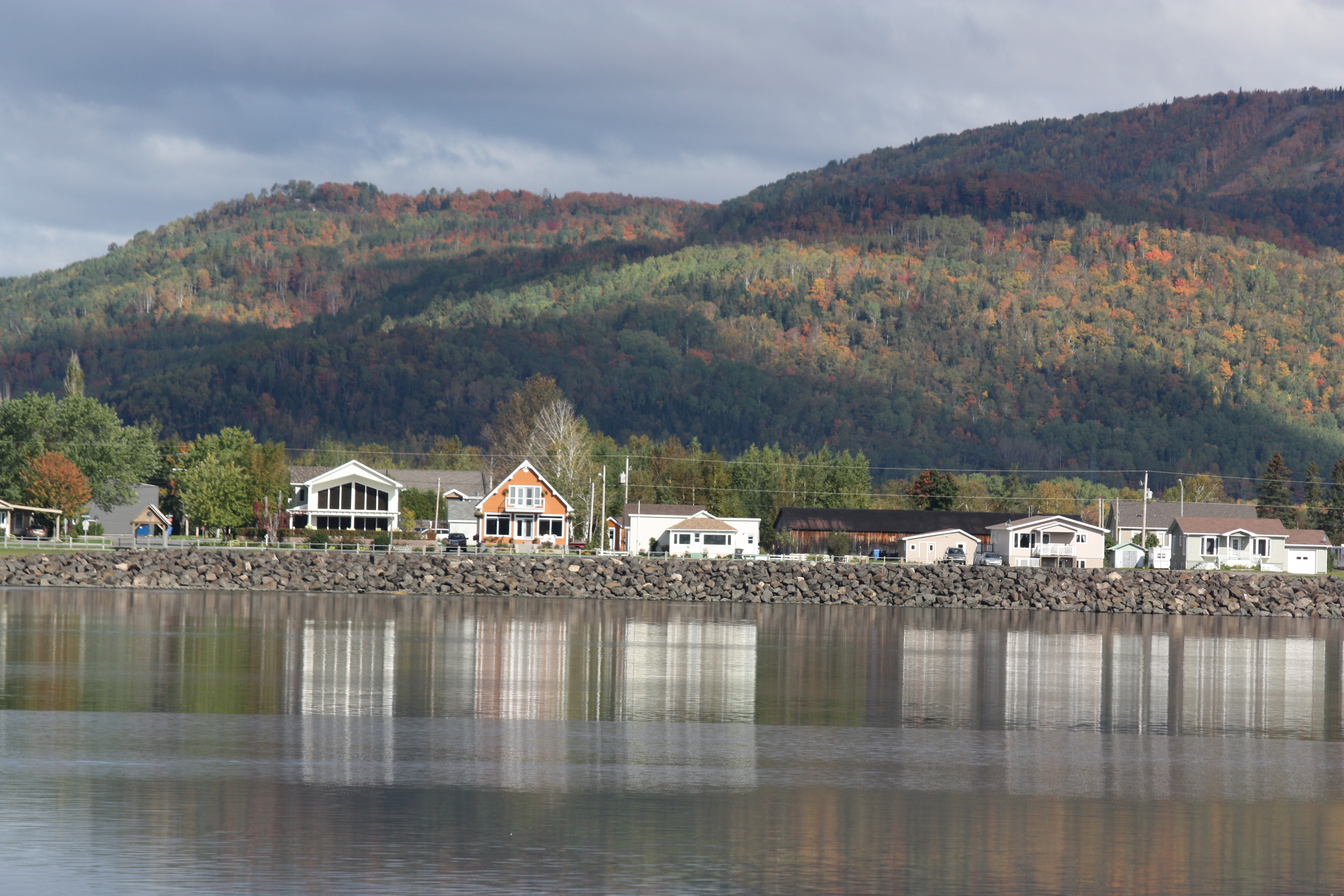
Campbellton, New Brunswick
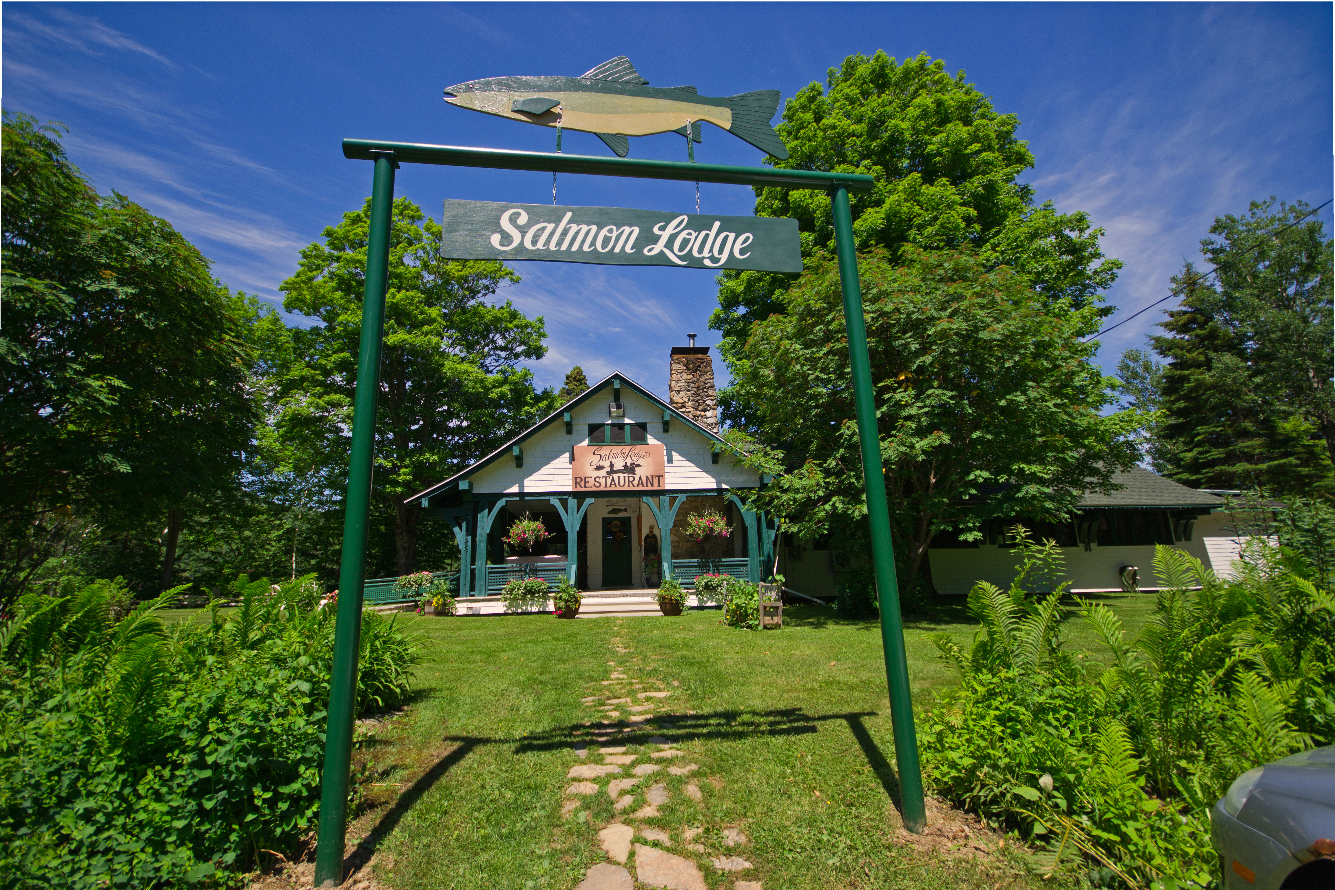
Salmon Lodge
Looking Across the Bay and Backward in Time(?)
Campbellton, New Brunswick Photo J.C. Van Horne Interprovincial Bridge Open In 1967 Between Pointe-à-la-Croix Quebec And NB
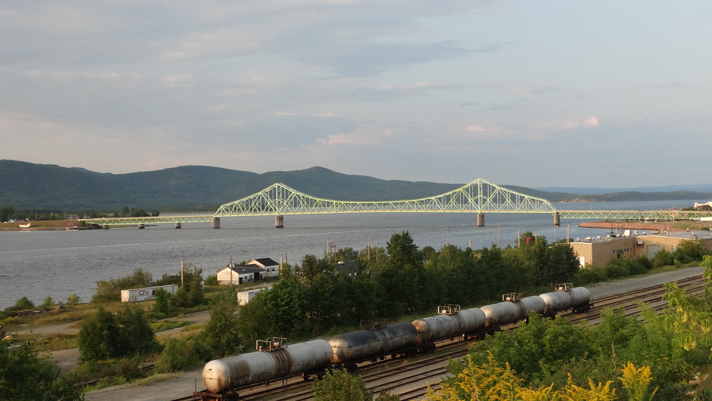
Campbellton, New Brunswick Photo J.C. Van Horne Interprovincial Bridge Open In 1967 Between Pointe-à-la-Croix Quebec And NB
Topographic Map of 88 Riverside Rd, Tide Head, NB E3N 4G7, Canada
Find elevation by address:

Places near 88 Riverside Rd, Tide Head, NB E3N 4G7, Canada:
92 Riverside Rd
92 Riverside Rd
92 Riverside Rd
82 Riverside Rd
124 Babcock St E
Tide Head
12 Comeau Ave
Atholville
25 Savoie Ave
14043 Nb-17
Glen Levit
Pointe-à-la-croix
E3n 2k4
Val-d'amour
NB-, Saint-Arthur, NB E3N 5S4, Canada
Sugarloaf Provincial Park
Saint-arthur
Sugarloaf Senior High School
Pointe-à-la-croix
Campbellton
Recent Searches:
- Elevation of Corso Fratelli Cairoli, 35, Macerata MC, Italy
- Elevation of Tallevast Rd, Sarasota, FL, USA
- Elevation of 4th St E, Sonoma, CA, USA
- Elevation of Black Hollow Rd, Pennsdale, PA, USA
- Elevation of Oakland Ave, Williamsport, PA, USA
- Elevation of Pedrógão Grande, Portugal
- Elevation of Klee Dr, Martinsburg, WV, USA
- Elevation of Via Roma, Pieranica CR, Italy
- Elevation of Tavkvetili Mountain, Georgia
- Elevation of Hartfords Bluff Cir, Mt Pleasant, SC, USA