Elevation of Campbellton, NB, Canada

Location: Canada > New Brunswick > Restigouche County >

Longitude: -66.672205

Latitude: 48.007399

Elevation: 14m / 46feet

Barometric Pressure: 101KPa

Elevation Map:

elevation map of Campbellton, NB, Canada

Satellite Map:

Satellite map of Campbellton, NB, Canada

Related Photos:

summer2011
Tide Head, N.B Boom road
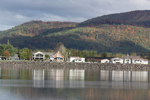
canada quebec newbrunswick campbellton pointealacroix
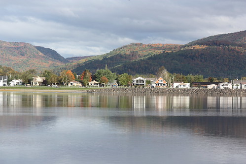
Pointe-à-la-Croix, Quebec
canada view quebec newbrunswick campbellton pointealacroix
Pointe-à-la-Croix, Quebec
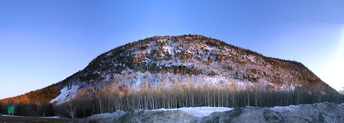
panorama geotagged spring newbrunswick sugarloaf campbellton geolat47992573 geolon66690960 regionnewbrunsick atholville
Sugarloaf, Campbellton NB
canada river québec nouveaubrunswick avignon parkscanada gaspésie restigoucheriver nationalhistoricsiteofcanada pointeàlacroix battleoftherestigouchenationalhistoricsiteofcanada
Restigouche River
summer2011
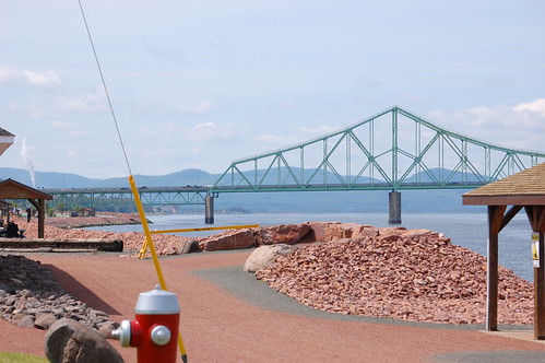
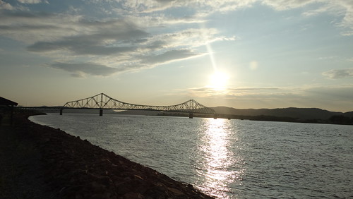
Campbellton, N.B, Van horne bridge
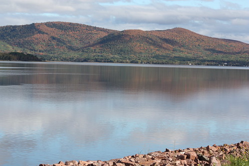
autumn canada river quebec newbrunswick restigouche
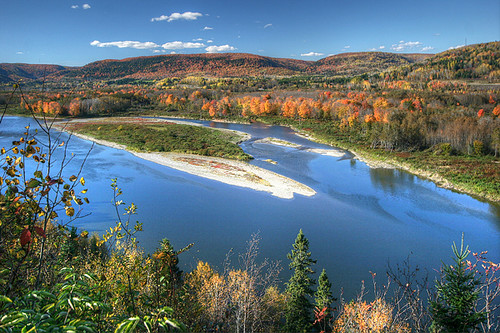
Autumn on the Restigouche
fall river colours newbrunswick floodplain atholville moubtains naturescarousel travelpilgrems
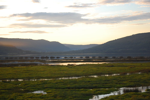
Restigouche River flood plain
grass landscape sunset river nature flowersplants reflections water clouds coucherdesoleil eau fleurs gazon herbe nuages paysage pelouse plantes rivière réflections pointeàlacroix québec canada can hdr fav10
Restigouche Wisps
new bridge river quebec brunswick campbellton restigouche 2000thphoto abigfave travelpilgrems pointealacroix
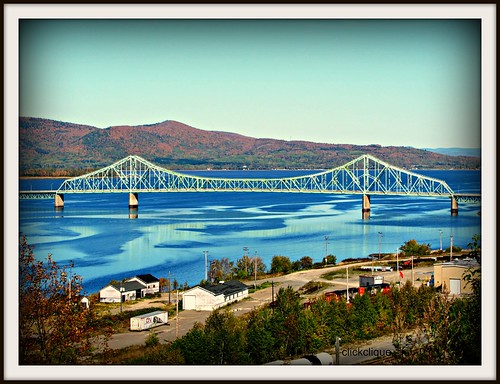
J.C. Van Horne Bridge
water grass clouds flowersplants landscape sunset river nature coucherdesoleil eau fleurs gazon herbe nuages paysage pelouse plantes rivière pointeàlacroix québec canada can
Dancing clouds at sunset
water transportation boat landscape sunset river nature bateau coucherdesoleil eau paysage rivière vehicles véhicule pointeàlacroix québec canada can
Restigouche Gondola
wood canada nature water metal clouds river landscape rust eau objects can rivière québec nuages paysage hdr materials métal bois objets rouille fav10 matériaux pointeàlacroix
Broken Pier Sunset
mygearandme xny556a
Les Chutes à Normand
bridge blackandwhite canada clouds quebec nb newbrunswick qc campbellton pointeàlacroix jcvanhornebridge
J.C. Van Horne Bridge
wood canada nature water fog sunrise river landscape boat dock rocks eau objects can rivière vehicles québec transportation bateau paysage quai brouillard hdr materials bois roches objets leverdesoleil fav10 véhicule matériaux pointeàlacroix
Lifting fog on the Restigouche
canada quebec newbrunswick campbellton pointealacroix
Pointe-à-la-Croix, Quebec
trees
Verger Pomme en fête
park new mountain canada forest brunswick trail sugarloaf provincial
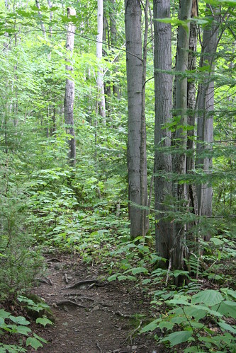
Summit Trail
wood bridge canada building nature water fog sunrise river landscape dock rocks eau objects can rivière structure québec pont quai brouillard materials bois roches objets leverdesoleil bâtiments matériaux pointeàlacroix
Fog on the J.C. Van Horne
bridge canada nb newbrunswick québec nouveaubrunswick pont qc campbellton
Campbellton, New Brunswick
trees snow canada nature water river landscape waterfall rocks eau can rivière québec neige paysage arbre roches chutedeau ristigouchepartiesudest
Chute Kempt
wood bridge canada building beach nature water clouds river landscape sand rocks eau sable objects can rivière structure québec pont nuages paysage plage materials bois roches objets bâtiments matériaux pointeàlacroix
JC in Colour
canada 120 film mediumformat geotagged quebec panoramic filmscan 21panoramic 6x12 horseman612 horseman6x12 geo:lat=48000633 geo:lon=66698337 horseman6x12panoramiccamera
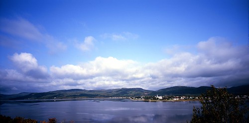
Looking Across the Bay and Backward in Time(?)
canada nature water grass fleurs reflections river landscape boat eau can rivière vehicles québec transportation bateau paysage pelouse plantes herbe flowersplants gazon véhicule réflections pointeàlacroix
River grass
newbrunswickphoto campbelltonnewbrunswickphoto jcvanhorneinterprovincialbridgeopen1967betweenpointeàlacroixquebecandnb
Campbellton, New Brunswick Photo J.C. Van Horne Interprovincial Bridge Open In 1967 Between Pointe-à-la-Croix Quebec And NB