Elevation map of Avignon Regional County Municipality, QC, Canada
Location: Canada > Québec >
Longitude: -66.687588
Latitude: 48.1439834
Elevation: 277m / 909feet
Barometric Pressure: 98KPa
Elevation Map:
Satellite Map:
Related Photos:
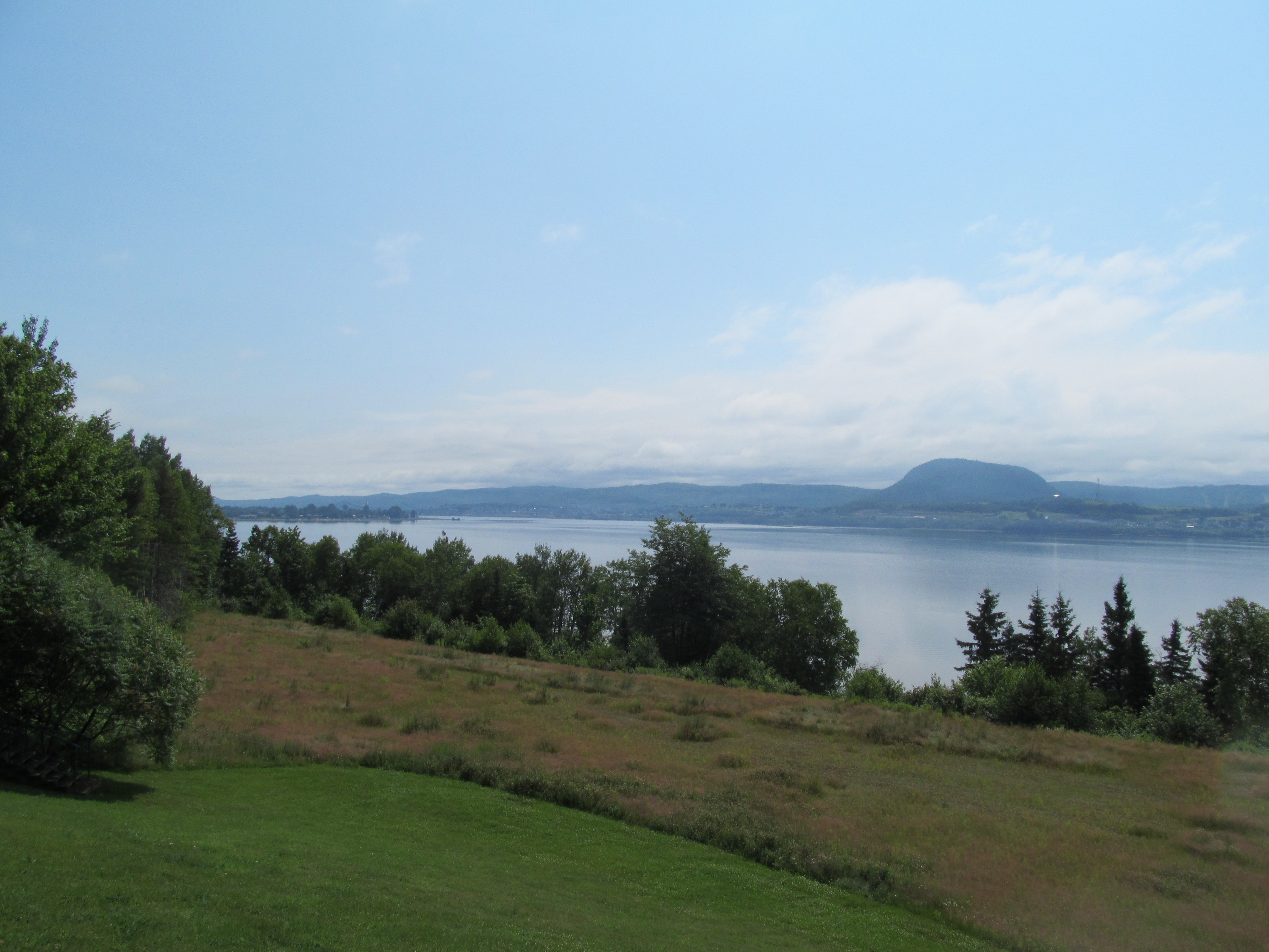
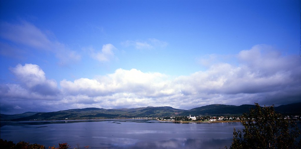
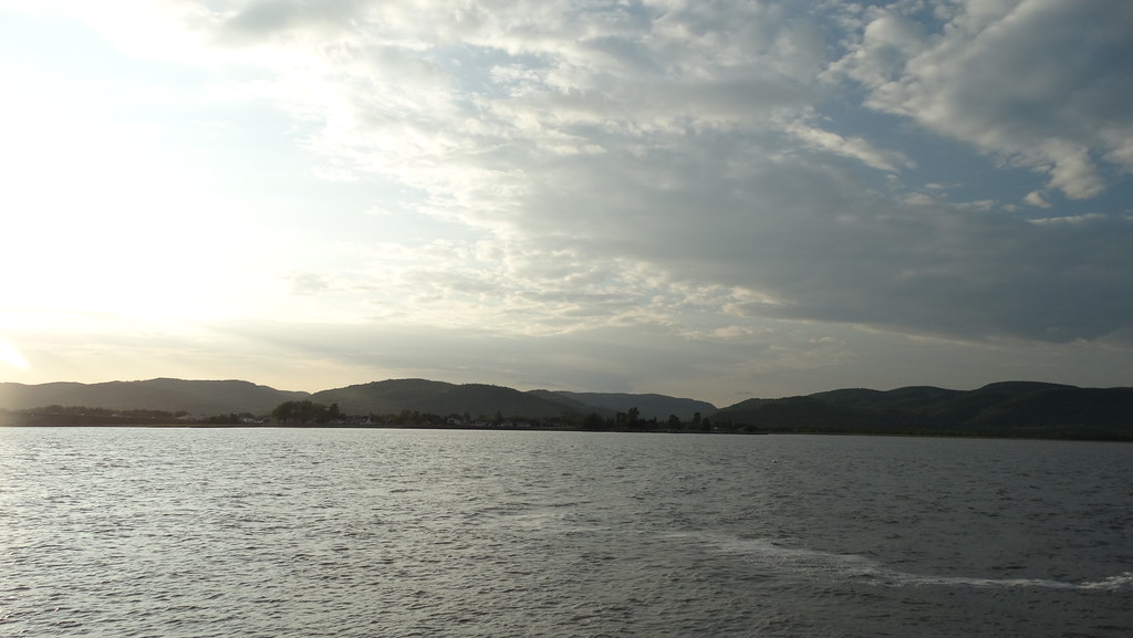
Restigouche River
Campbellton, N.B, Van horne bridge
Pointe-à-la-Croix, Quebec
Pointe-à-la-Croix, Quebec
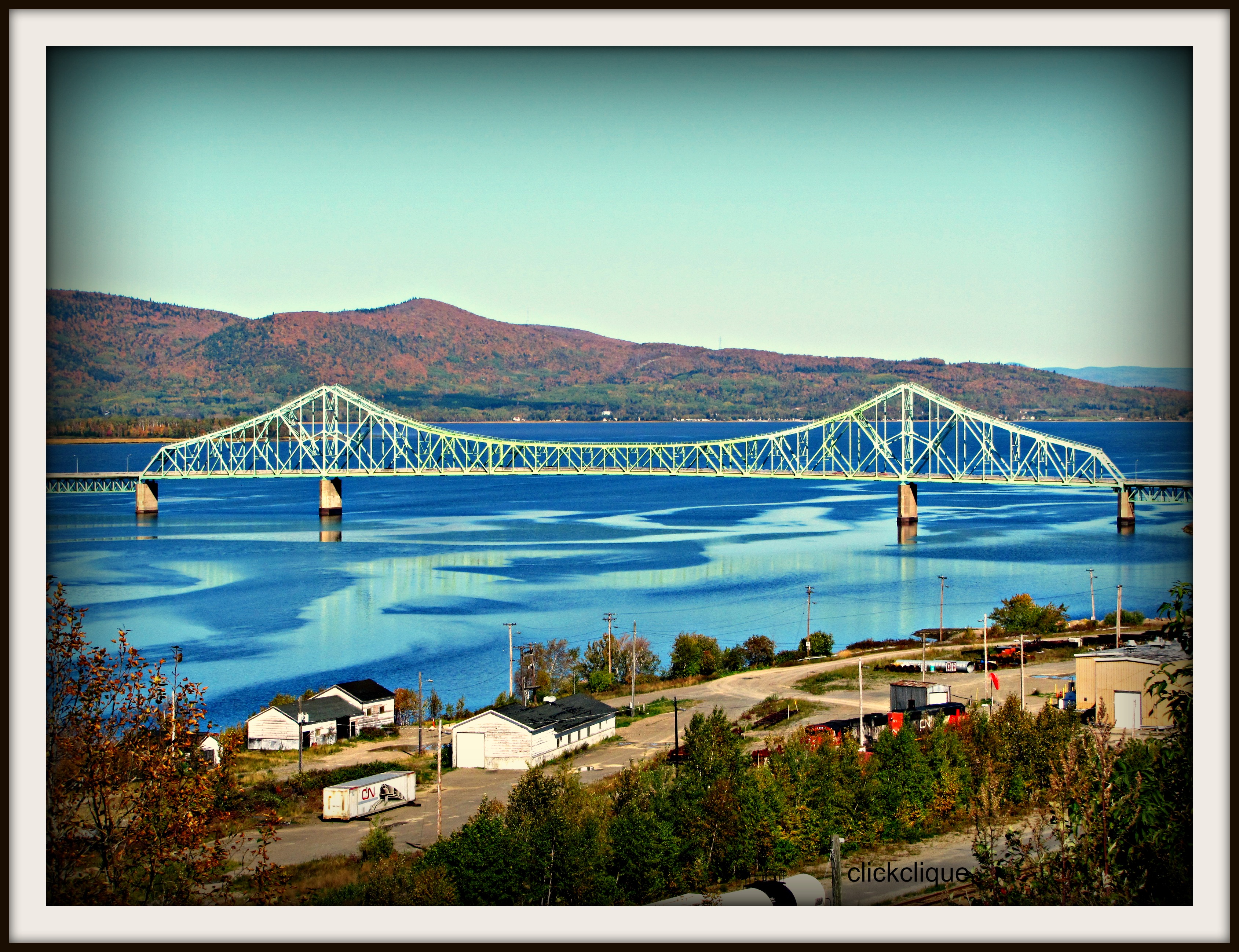
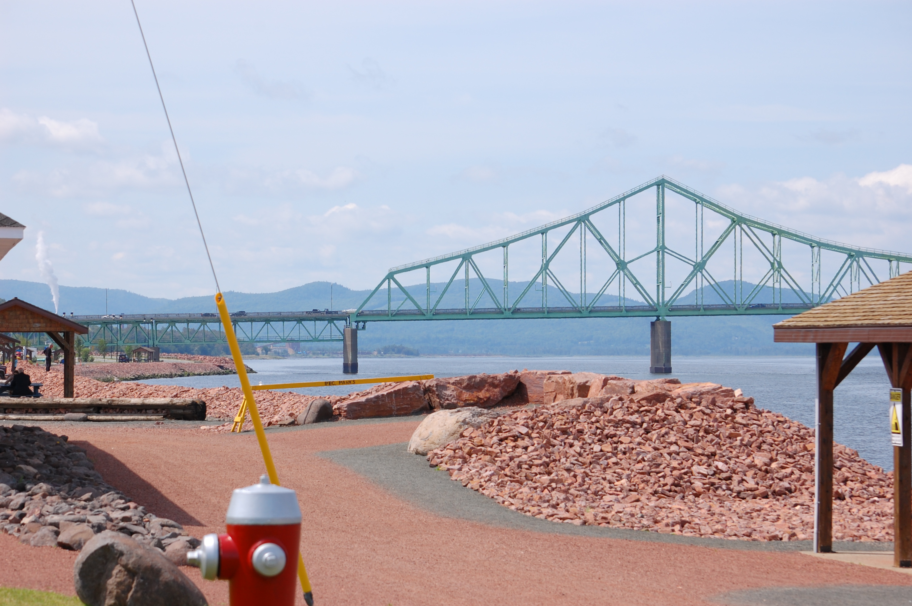
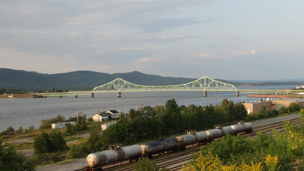
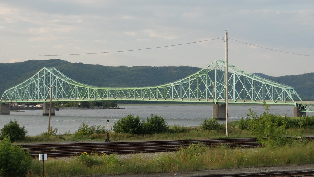
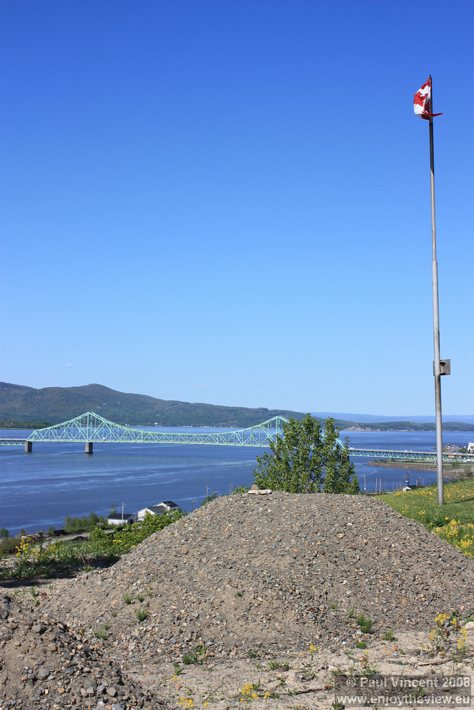
J.C. Van Horne Bridge
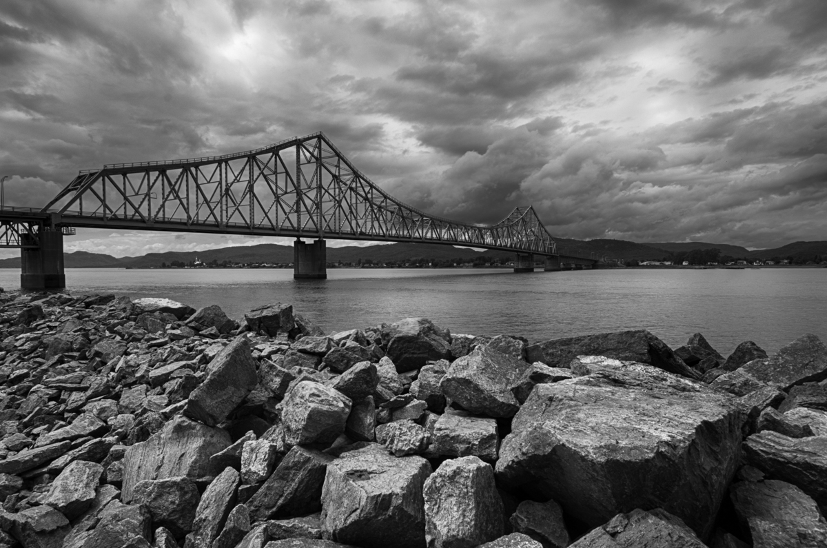
J.C. Van Horne Bridge

Les Chutes à Normand

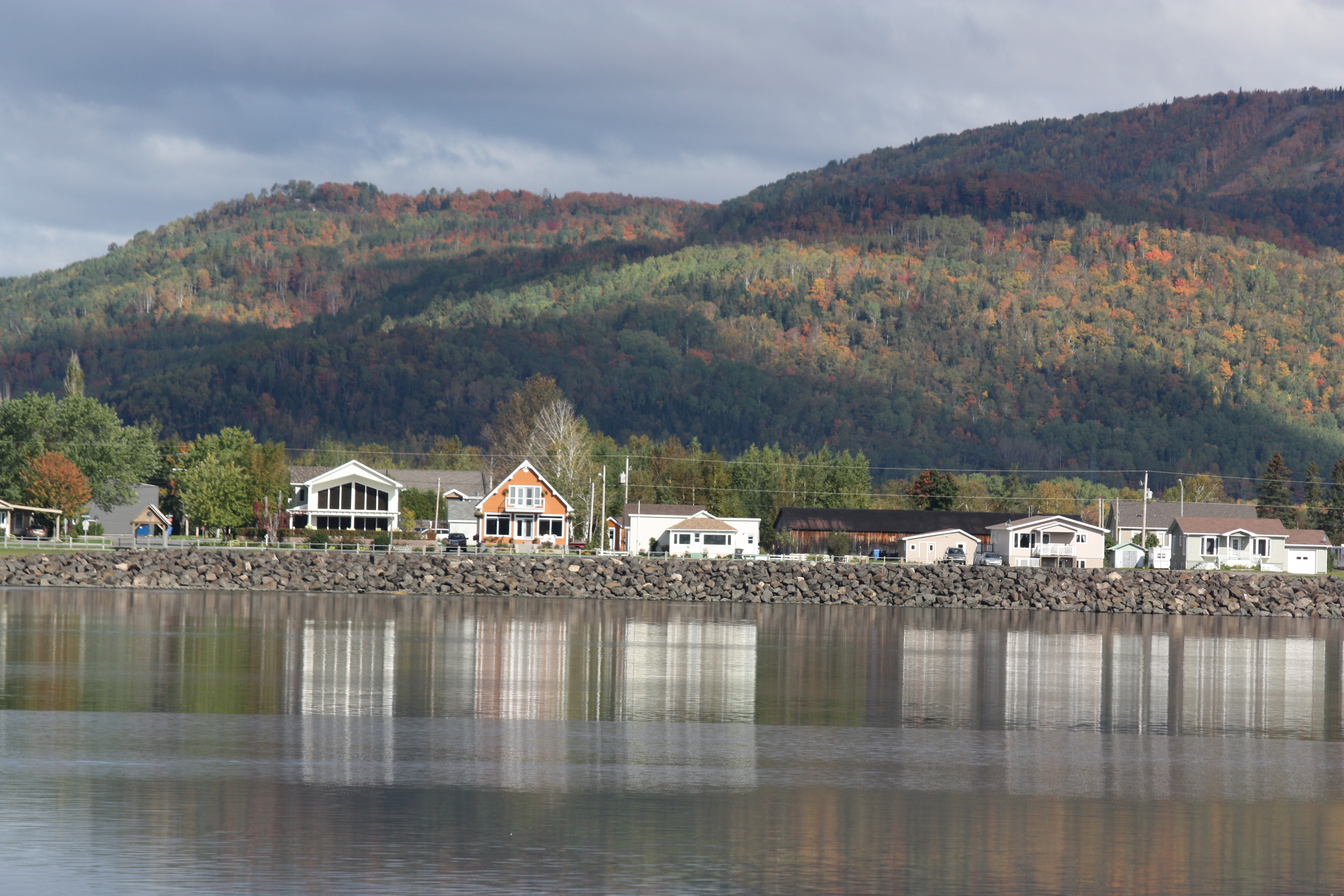
Campbellton, New Brunswick
Looking Across the Bay and Backward in Time(?)
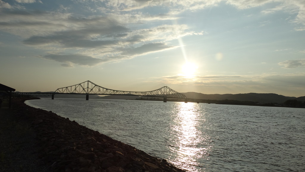
Campbellton, New Brunswick Photo J.C. Van Horne Interprovincial Bridge Open In 1967 Between Pointe-à-la-Croix Quebec And NB

Verger Pomme en fête
Campbellton, New Brunswick Photo J.C. Van Horne Interprovincial Bridge Open In 1967 Between Pointe-à-la-Croix Quebec And NB
Campbellton, New Brunswick Photo J.C. Van Horne Interprovincial Bridge Open In 1967 Between Pointe-à-la-Croix Quebec And NB

Bathurst, New Brunswick Photo Shores Of Quebec
Bathurst, New Brunswick Photo Shores Of Quebec

Campbellton, New Brunswick Photo Looking At Quebec

Pointe-à-la-Croix, QC and Campbellton, NB 20050611 008 Restigouche River, J C Van Horne Bridge
Restigouche, Quebec from New Brunswick
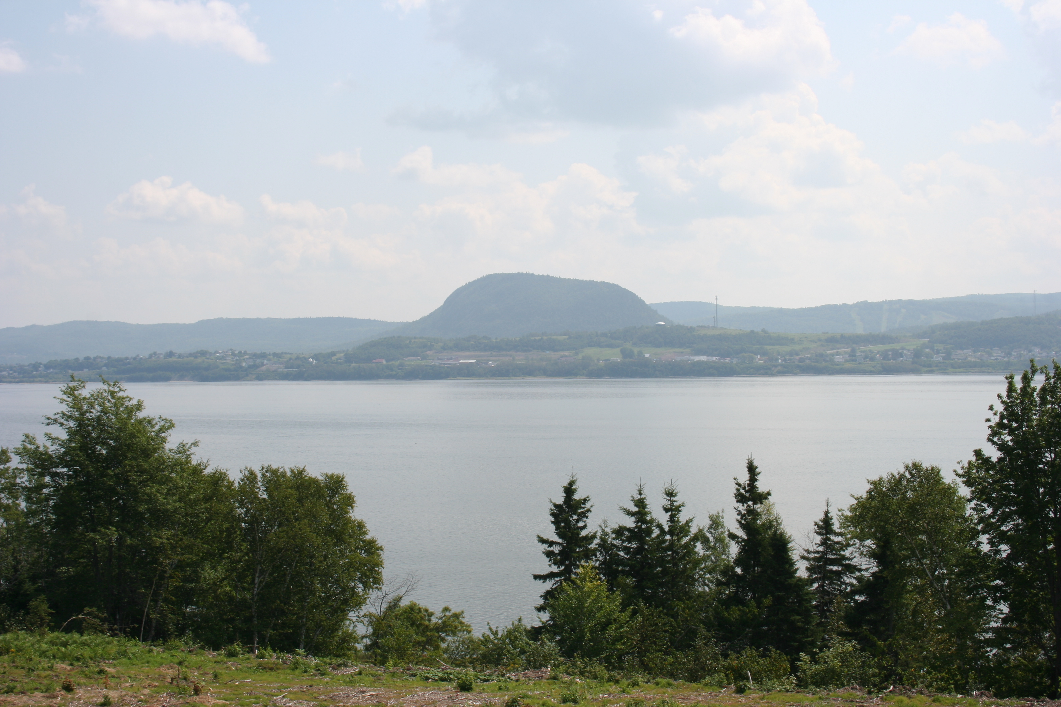
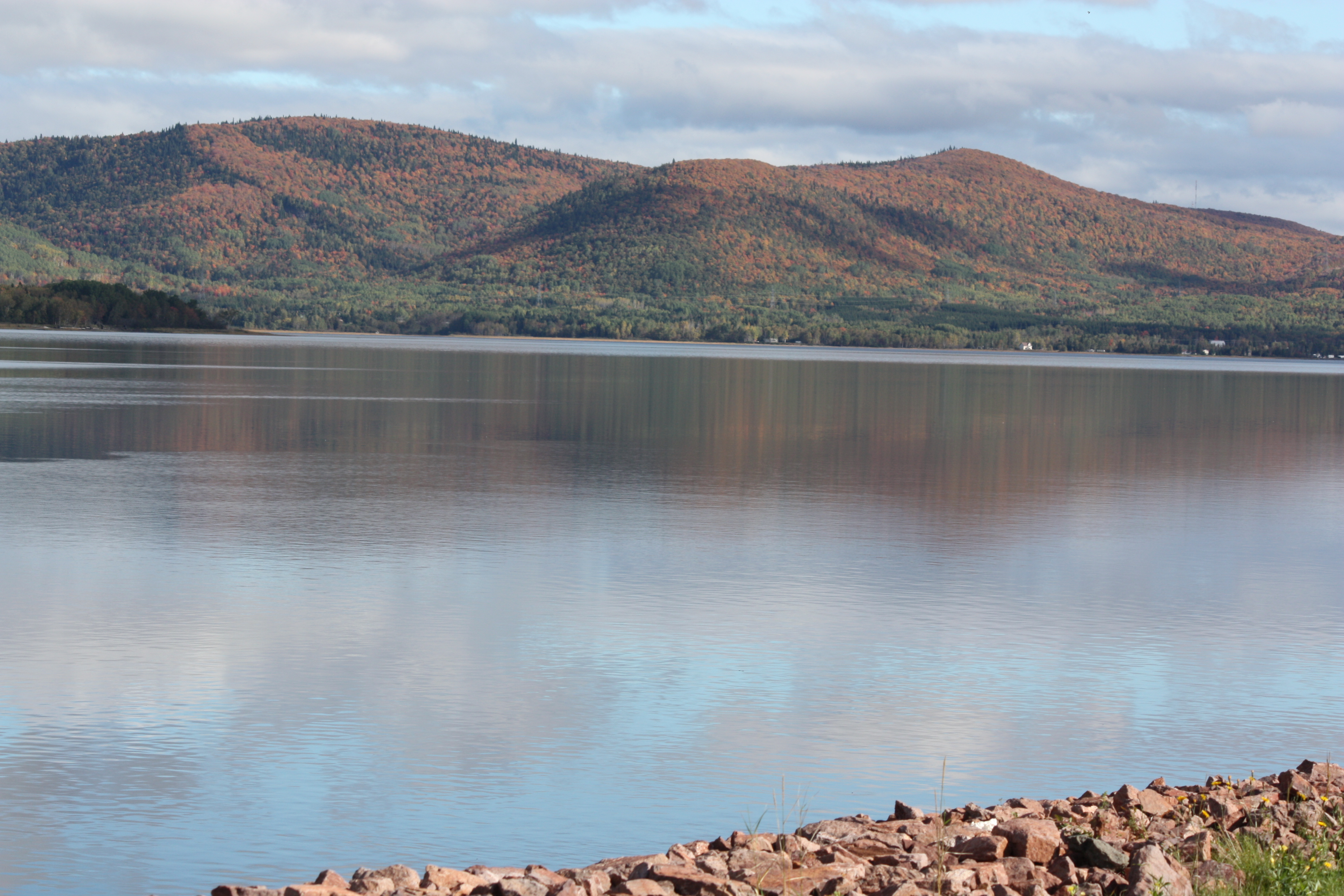
Restigouche River and Sugarloaf Mountain
Bridge over Restigouche River

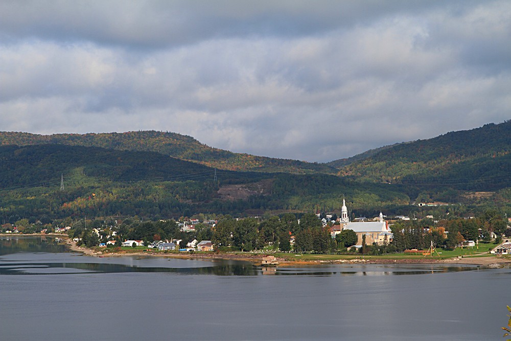
Pointe-à-la-Croix, Quebec
Topographic Map of Avignon Regional County Municipality, QC, Canada
Find elevation by address:

Places in Avignon Regional County Municipality, QC, Canada:
Places near Avignon Regional County Municipality, QC, Canada:
L'alverne
Pointe-à-la-croix
Pointe-à-la-croix
King Street
Campbellton
7 Patterson St
E3n 2k4
Sugarloaf Senior High School
32 QC-, Pointe-à-la-Garde, QC G0C 2M0, Canada
25 Savoie Ave
Atholville
Pointe-à-la-garde
Restigouche River
Escuminac
Escuminac
Dalhousie
Dundee
434 Nb-280
434 Nb-280
434 Nb-280
Recent Searches:
- Elevation of Corso Fratelli Cairoli, 35, Macerata MC, Italy
- Elevation of Tallevast Rd, Sarasota, FL, USA
- Elevation of 4th St E, Sonoma, CA, USA
- Elevation of Black Hollow Rd, Pennsdale, PA, USA
- Elevation of Oakland Ave, Williamsport, PA, USA
- Elevation of Pedrógão Grande, Portugal
- Elevation of Klee Dr, Martinsburg, WV, USA
- Elevation of Via Roma, Pieranica CR, Italy
- Elevation of Tavkvetili Mountain, Georgia
- Elevation of Hartfords Bluff Cir, Mt Pleasant, SC, USA