Elevation of Nantucket Dr, Redding, CA, USA
Location: United States > California > Shasta County > Redding > Mary Lake >
Longitude: -122.43326
Latitude: 40.5643616
Elevation: 234m / 768feet
Barometric Pressure: 99KPa
Elevation Map:
Satellite Map:
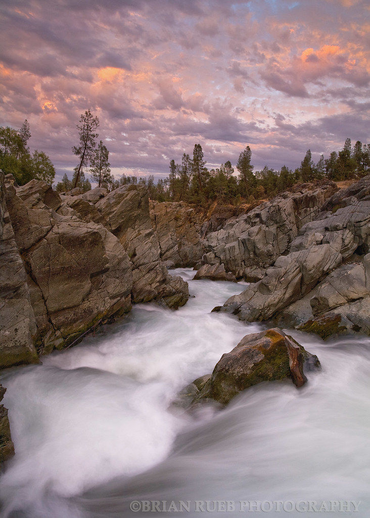
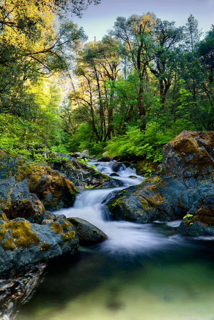
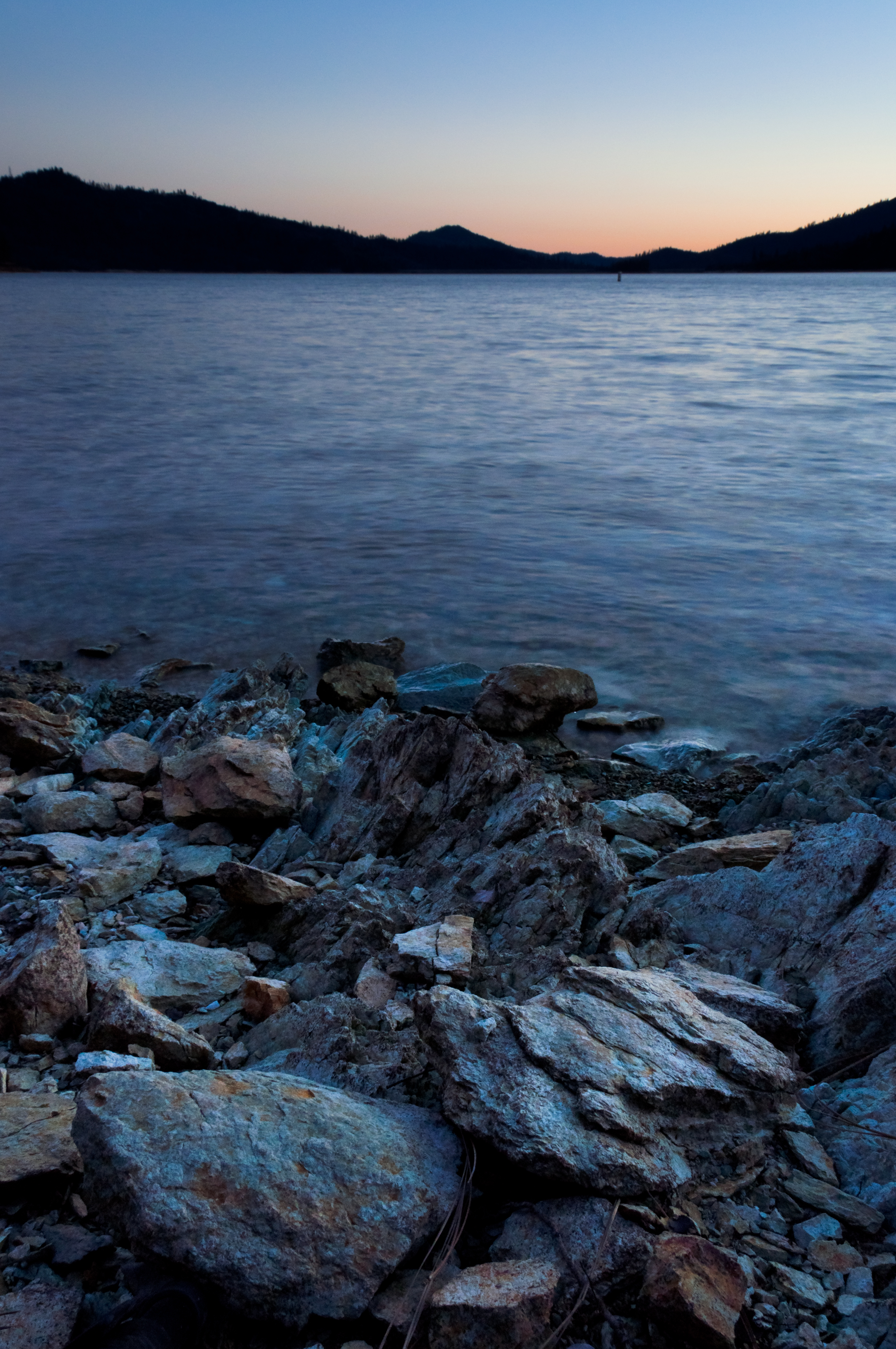
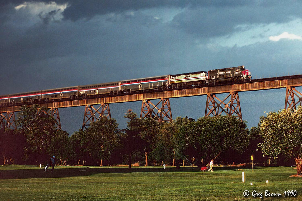
Related Photos:

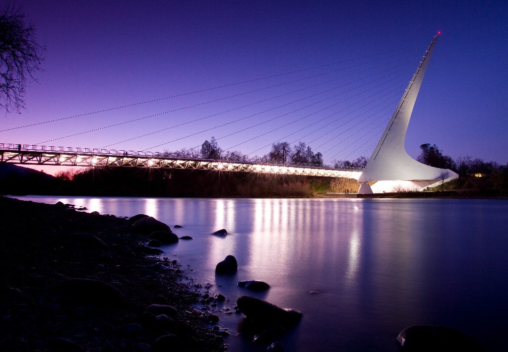
Sundial Bridge at Turtle Bay (II)

Sundial Bridge Lightning, The Sundial Bridge, Redding, CA

Sundial Bridge at Turtle Bay
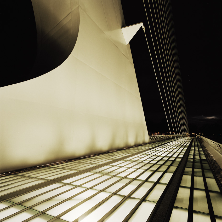
Sundial Bridge, Redding

Self Portrait - 1
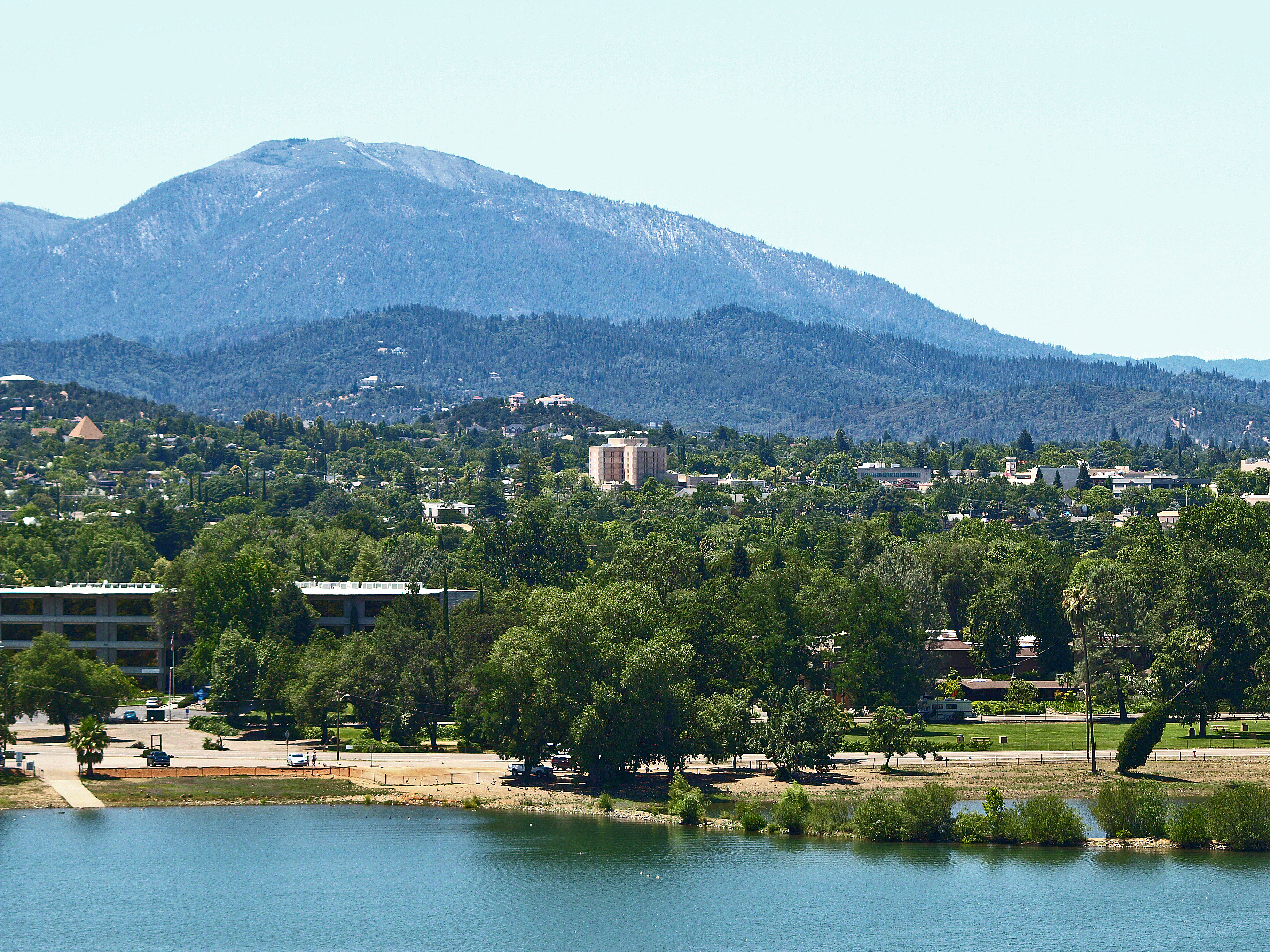
A View of Redding, California

Calatrava's Sundial Bridge, Redding, California

Changed hotels. Here's the view from the room - sunset on the Sacramento River. #roadtrip #redding #california #hotel #view #Sacramento #river #instagold #instagood #instagram #igdaily #igaddicts #ipodtouch #ipod
Learning to Glow

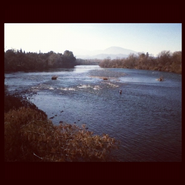
Sunset over Sacramento River

Self Portrait - 3

View just now from the hotel room. #sunset #colorful #clouds #sky #evening #winter #redding #california #roadtrip #Creation #beauty #ipod #ipodtouch #igdaily #igaddicts #instagold #instagood #instagram
Morning View

Self Portrait - 2

Roberts_68 Sundial Bridge
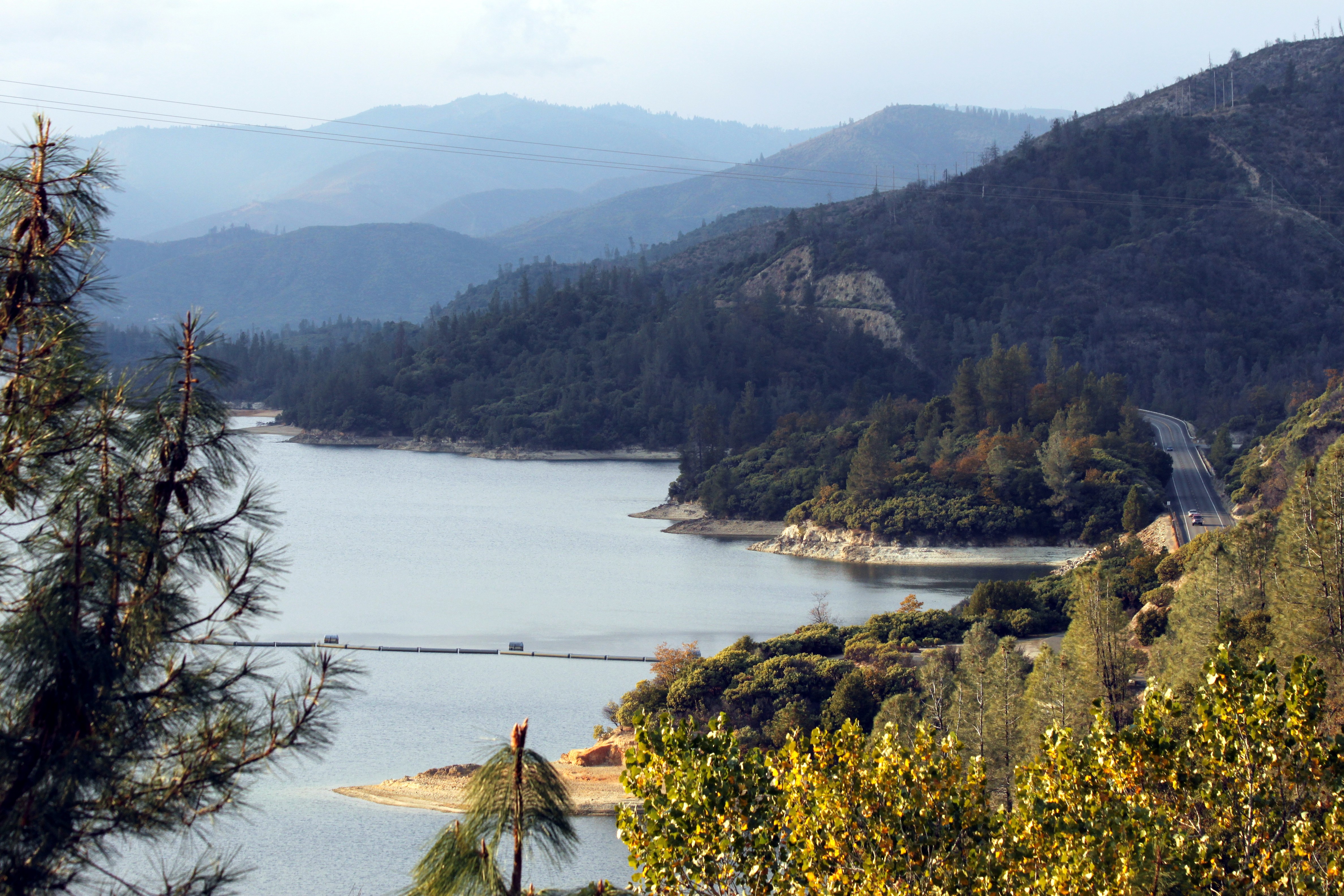
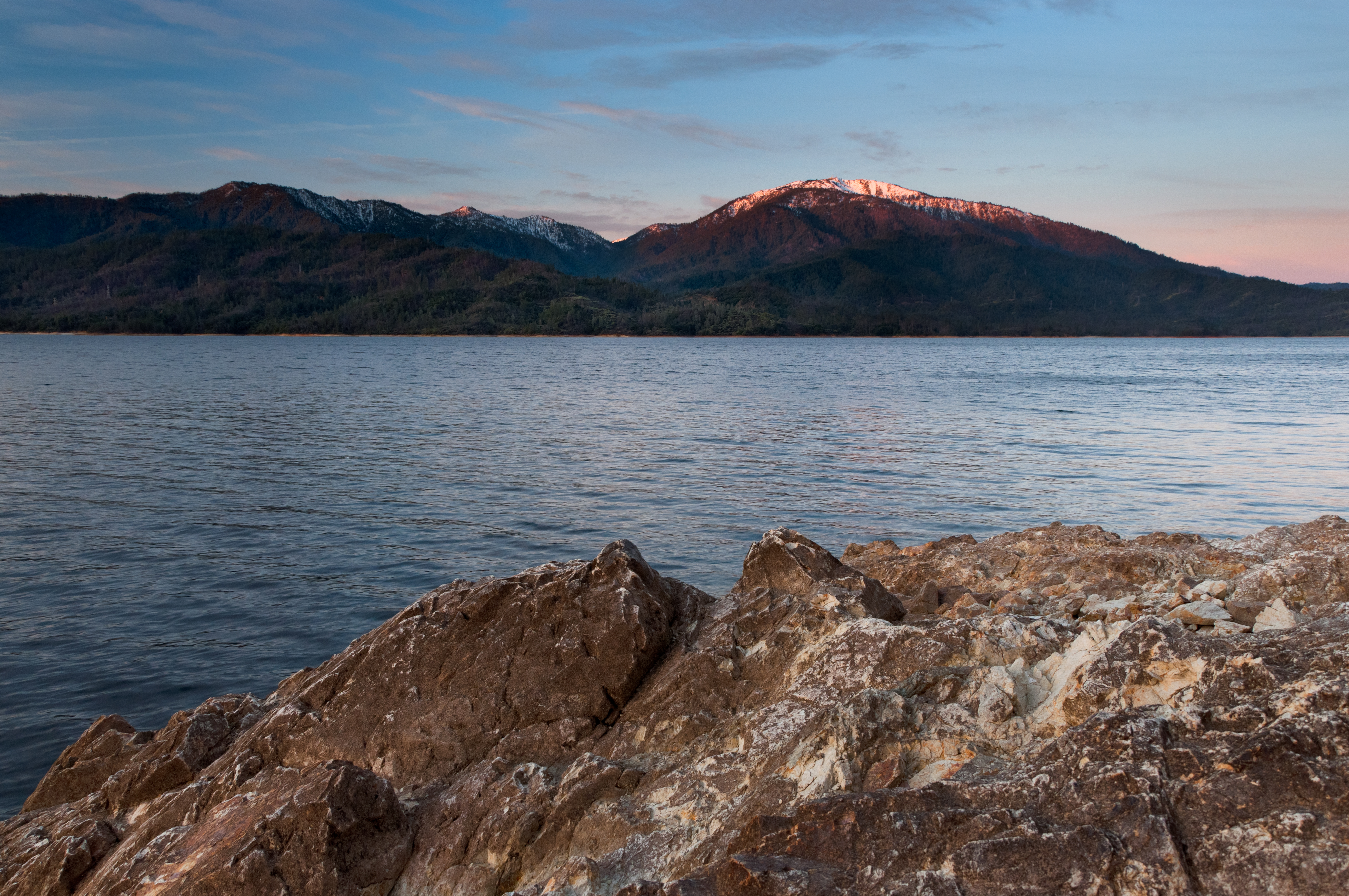
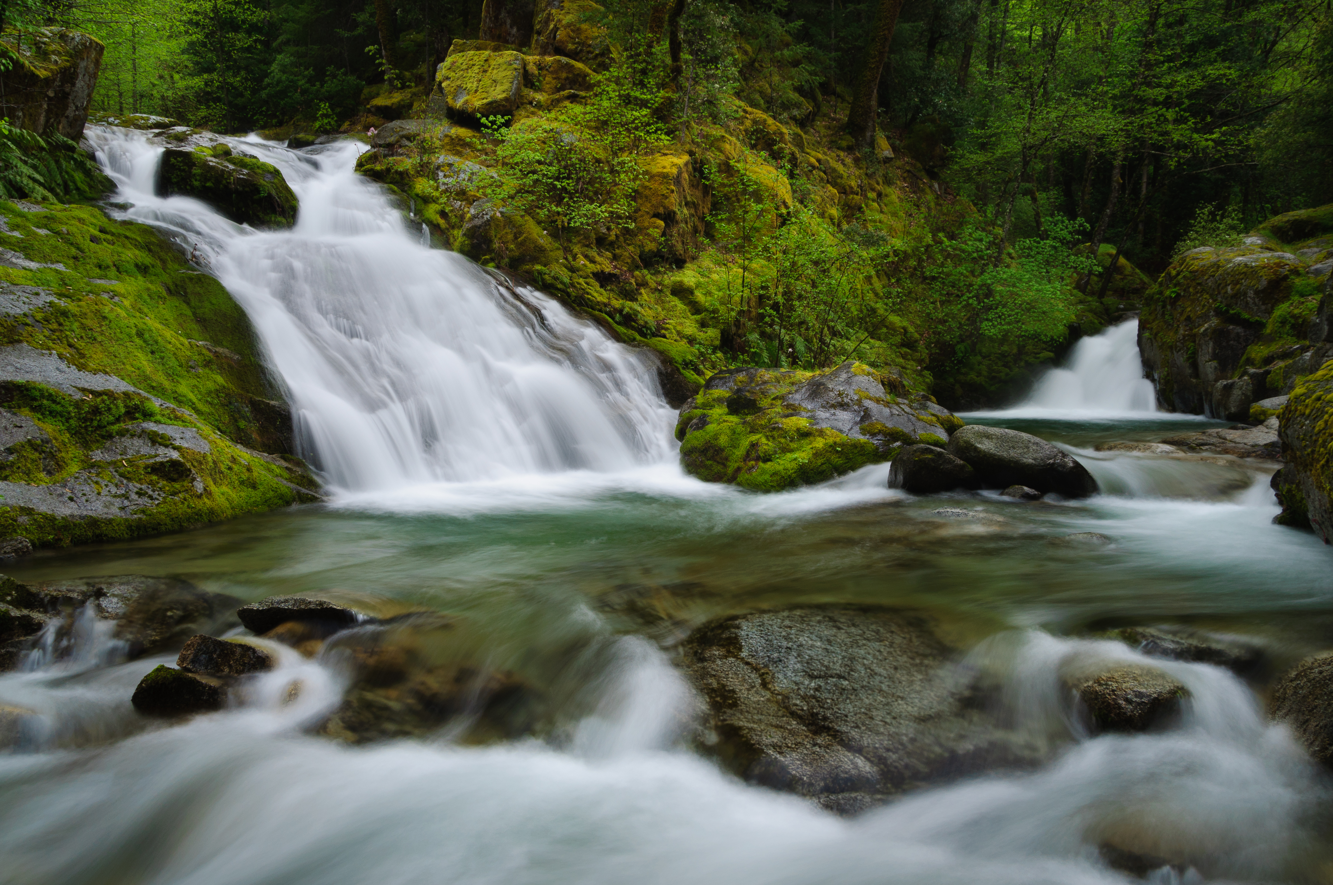
Whiskeytown Lake
Whatever it Takes
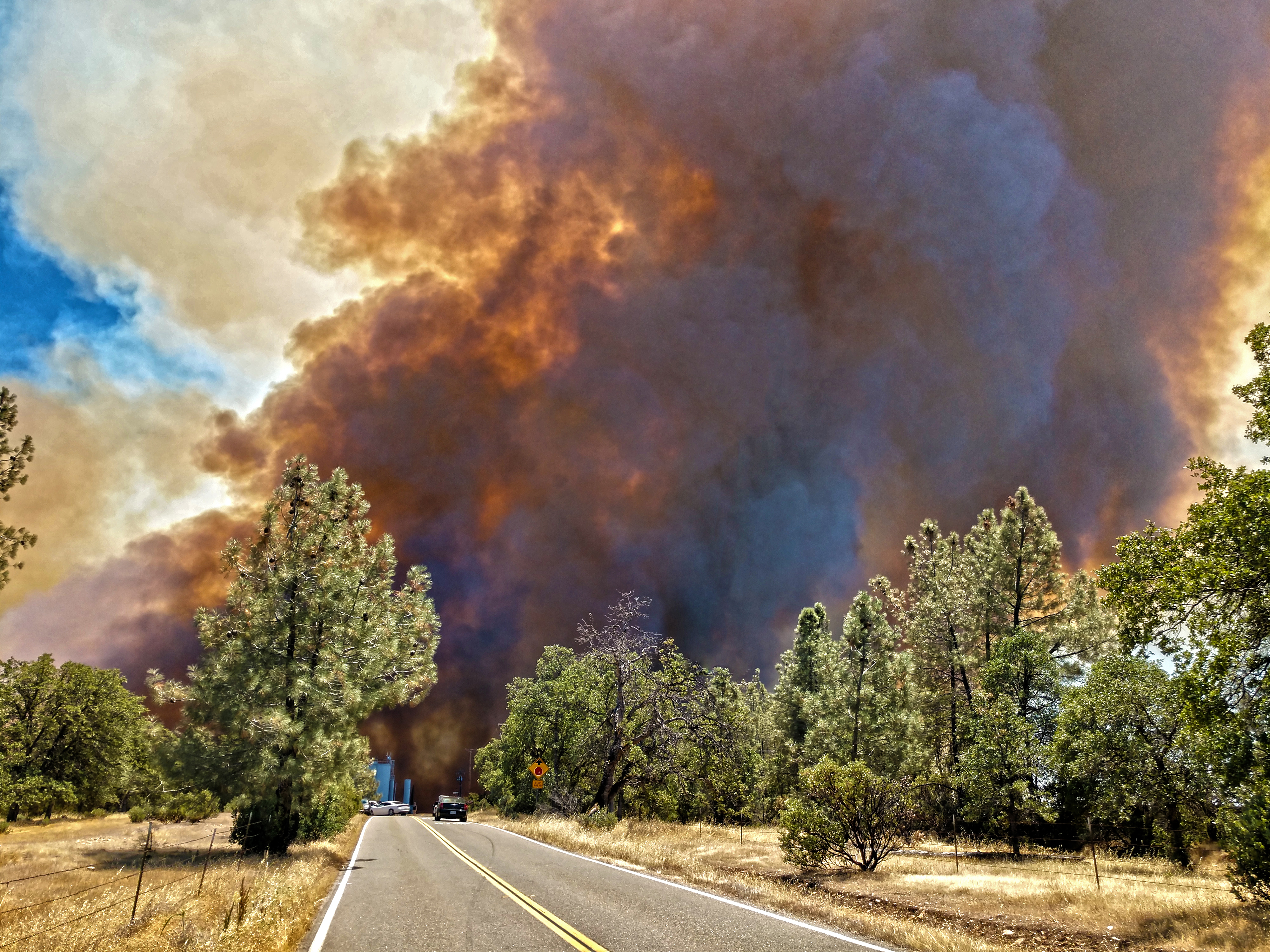
Smoke!

Sundial Bridge at Turtle Bay Exploration Park facing Sacramento River west view in Redding, California.
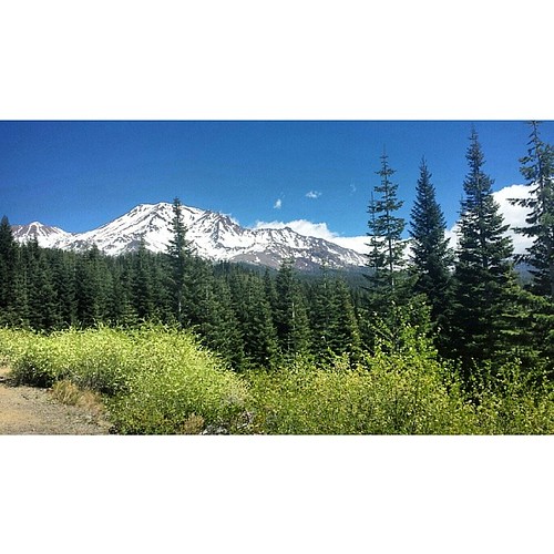
A perfect view of #MtShasta to end the weekend.

Sundial Bridge at Turtle Bay Exploration Park facing southeast view in Redding, California.
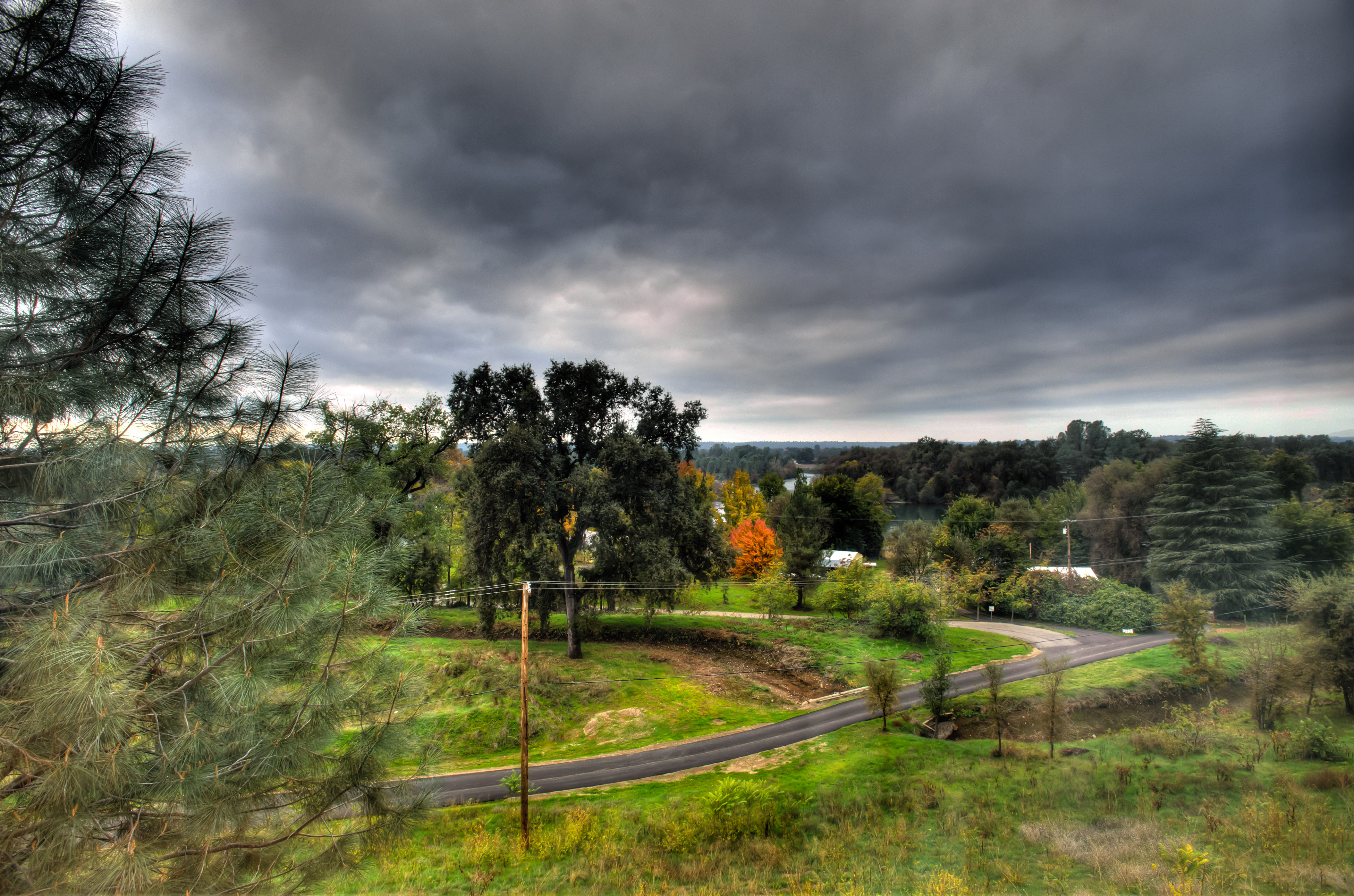
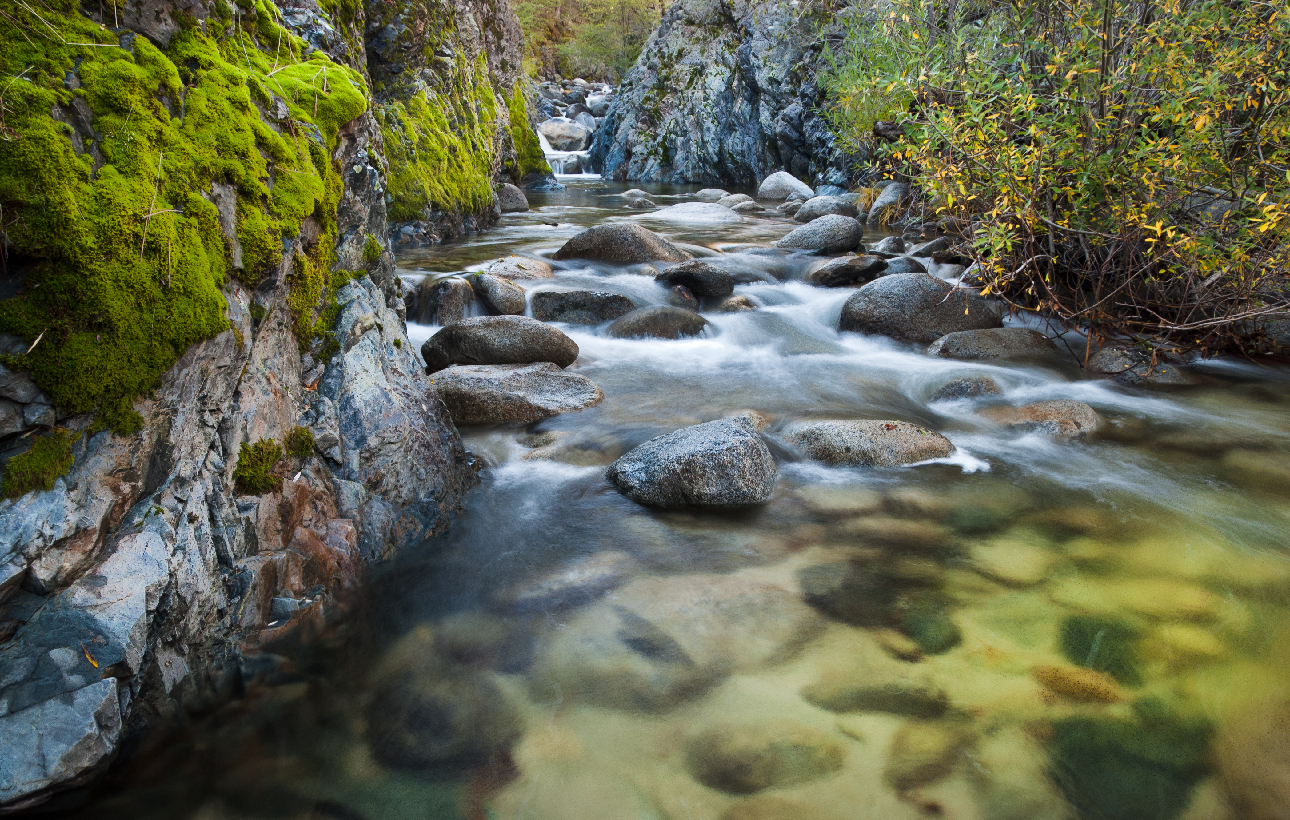
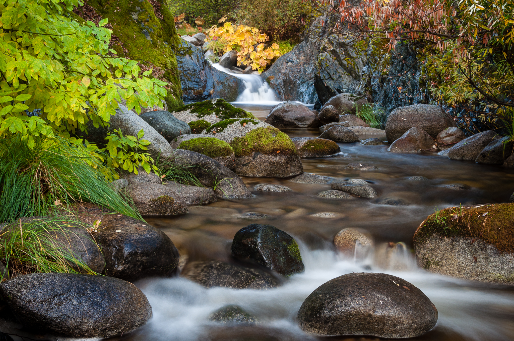
Clear Creek
Brandy Creek 2
Quiescense - Whiskeytown Lake
Almost there
Reflecting on Whiskeytown Lake
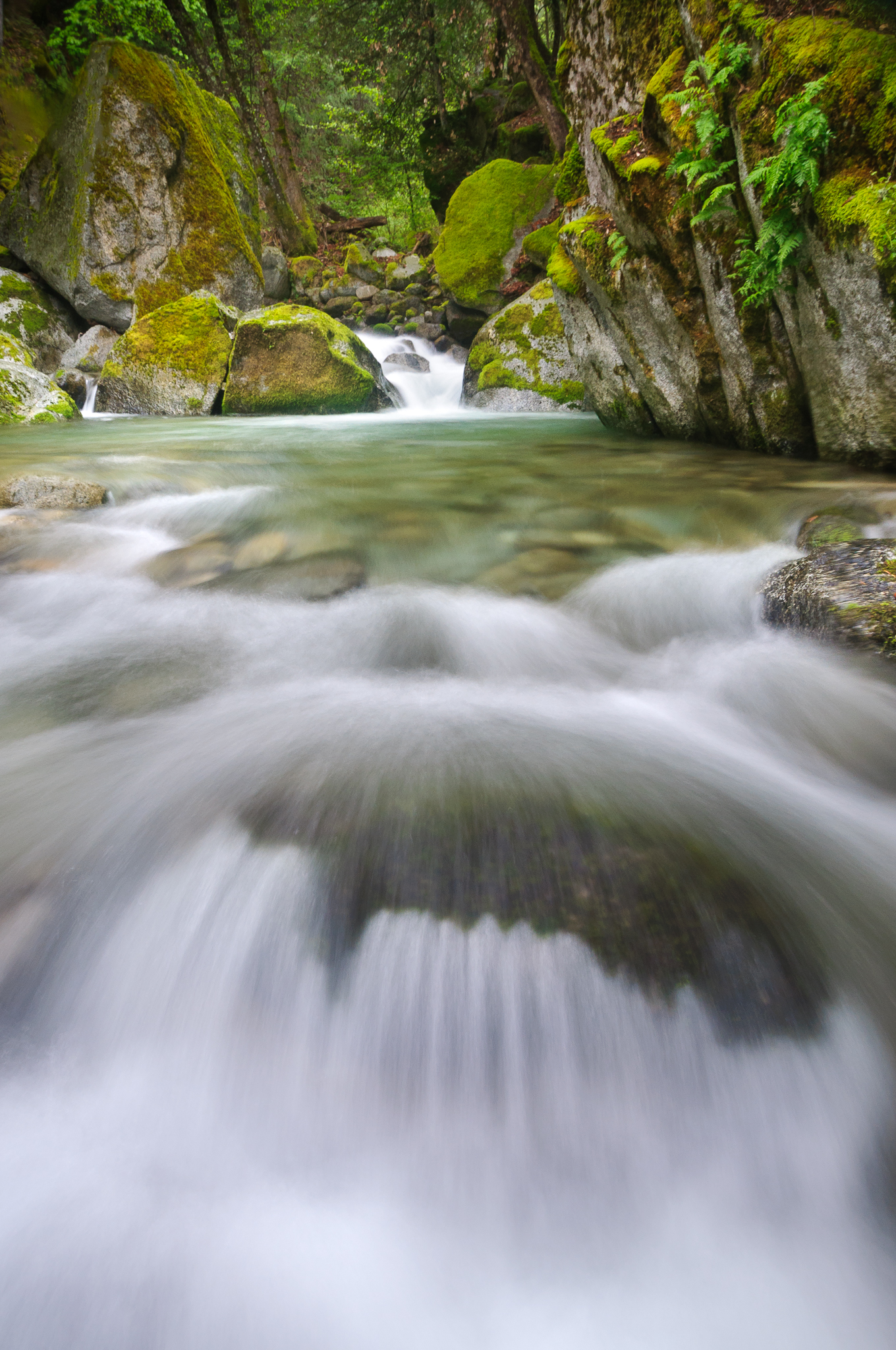
Slot Canyon on Brandy Creek

Reap The Benefits (p)
Sundial Bridge Redding Ca.
Beautiful Ending
Heart of Gold (Brand Creek)
There we go (Brandy Creek)

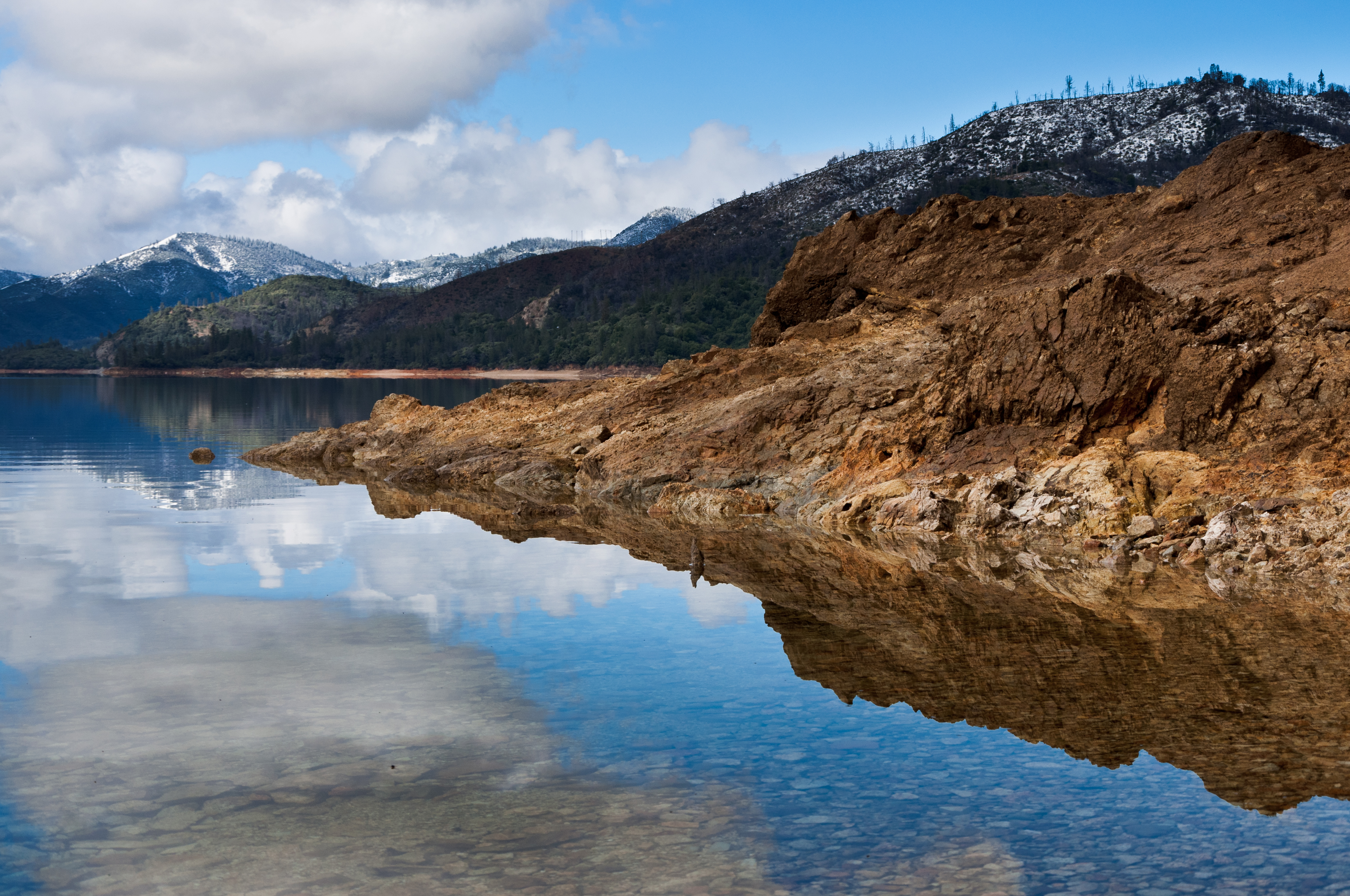
Whiskeytown Lake, California, USA
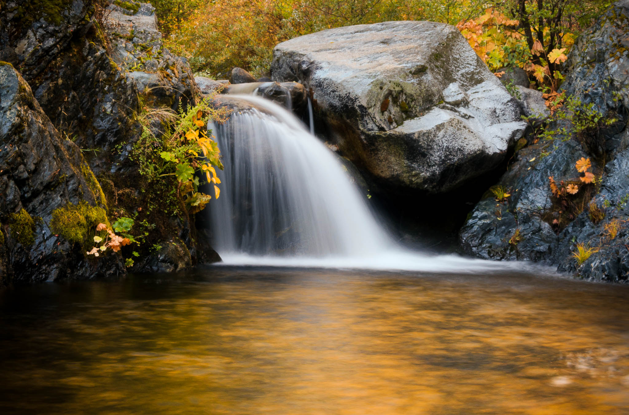
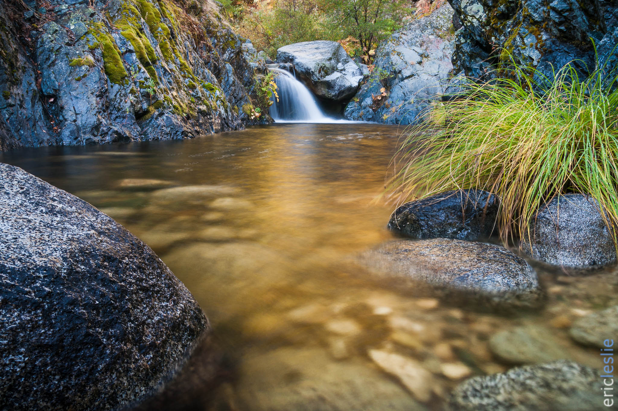
Lower Brand Creek Falls (Been a Long Time Coming)

Whiskeytown Lake Sunset [04.02.13]
Brand Creek (Hold On)
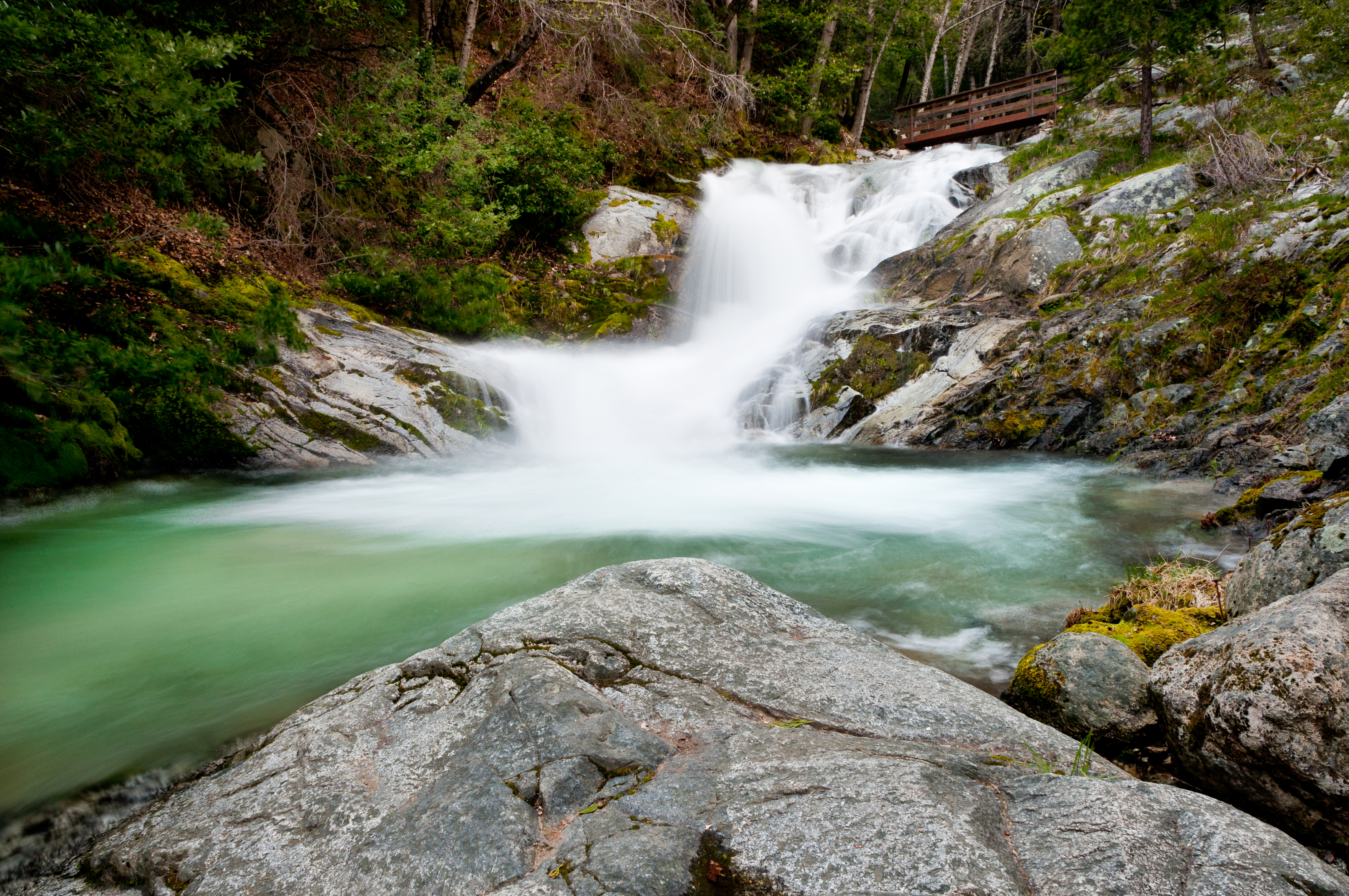
Golden Ticket (Brandy Creek Falls)
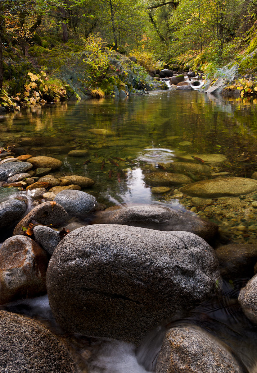
Salmon in Brandy Creek
X Marks the Spot
A man fly fishing in the Sacramento River. #sacramento #river #redding #california #roadtrip #sunny #blue #sky #fly #fishing #roadtrip #california #instagram #instagold #instagood #igaddicts #ipodtouch #igdaily #ipod
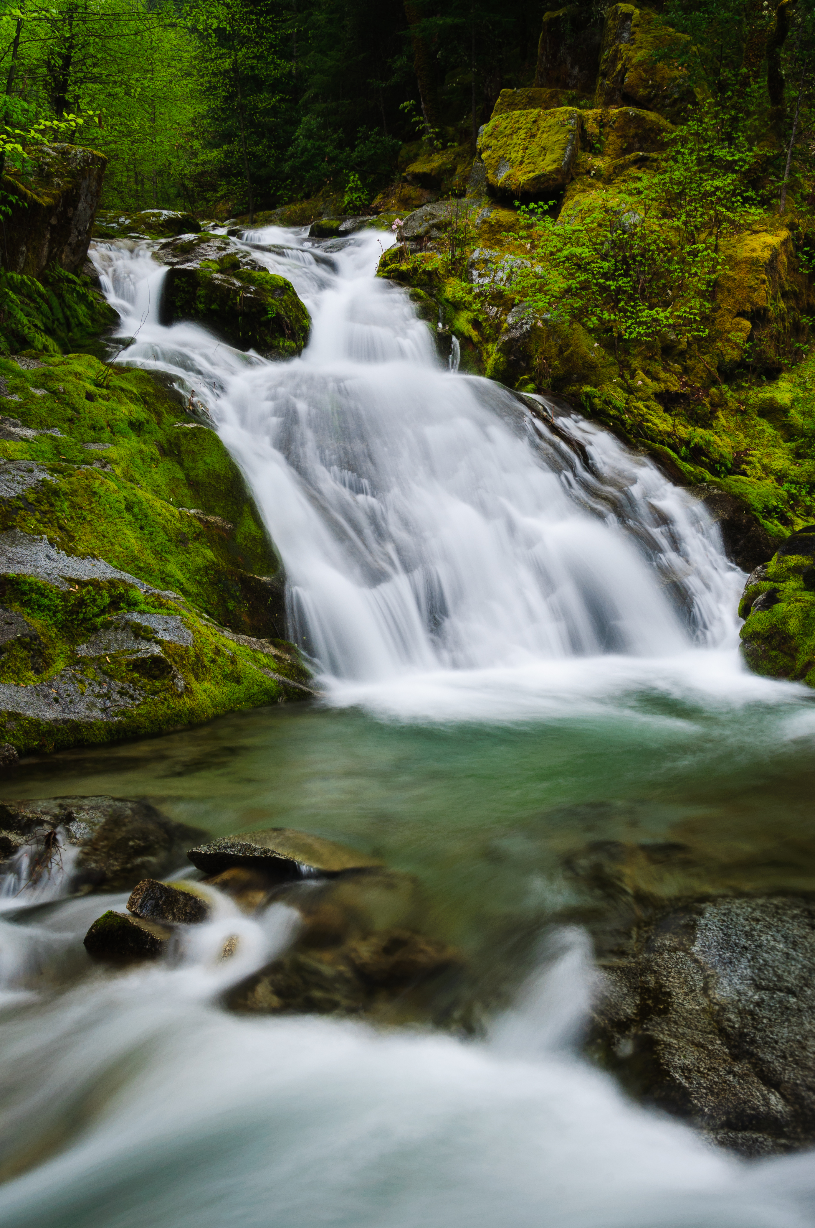
Rich Gulch Falls (Bloomed for You)

Brand Creek (I didn't Know)
Topographic Map of Nantucket Dr, Redding, CA, USA
Find elevation by address:

Places near Nantucket Dr, Redding, CA, USA:
Drexel Way
1759 Record Ln
4156 Boston Ave
Westside Estates
16945 Campo Calle
4475 Moyvane Dr
Mary Lake
3950 Oro St
6866 Placer St
2781 Gladstone Ct
2781 Gladstone Ct
4286 Spicewood Dr
3646 Cal Ore Dr
Country Heights Subdivision
Westgate
Holiday Market
1192 Sunriver Ln
3310 Oakwood Pl
Oakmont Subdivision
3225 Stratford Ave
Recent Searches:
- Elevation of Corso Fratelli Cairoli, 35, Macerata MC, Italy
- Elevation of Tallevast Rd, Sarasota, FL, USA
- Elevation of 4th St E, Sonoma, CA, USA
- Elevation of Black Hollow Rd, Pennsdale, PA, USA
- Elevation of Oakland Ave, Williamsport, PA, USA
- Elevation of Pedrógão Grande, Portugal
- Elevation of Klee Dr, Martinsburg, WV, USA
- Elevation of Via Roma, Pieranica CR, Italy
- Elevation of Tavkvetili Mountain, Georgia
- Elevation of Hartfords Bluff Cir, Mt Pleasant, SC, USA