Elevation of Oro St, Redding, CA, USA

Location: United States > California > Shasta County > Redding >

Longitude: -122.42604

Latitude: 40.5722751

Elevation: -10000m / -32808feet

Barometric Pressure: 295KPa

Elevation Map:

elevation map of Oro St, Redding, CA, USA

Satellite Map:

Satellite map of Oro St, Redding, CA, USA
Related Photos:

bridge architecture sundial redding palabra coolbridge abigfave betterthangood
Sundial Bridge, Redding
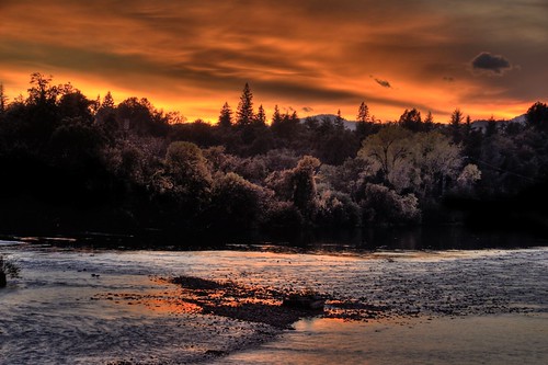
california sunset nature landscape explore redding sacramentoriver 200811
Sunset over Sacramento River
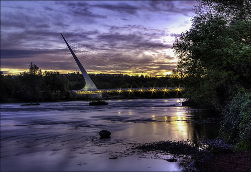
california ca bridge water gardens architecture river landscape interestingness angle famous topv999 perspective structures bridges engineering pedestrian arboretum structure historic explore sundial architect rivers calatrava shasta top100 top10 topv9999 frontpage suspensionbridge redding engineer span 28135mm exploratorium santiagocalatrava spans sacramentoriver pedestrianbridge turtlebay top25 sundialbridge top50 shastacounty cablestaybridge interestingness3 top500 cablestay 100faves i500 famousbridges landscapephotos turtlebayexplorationpark mcconnellfoundation abigfave specobject sundialbridgeatturtlebay landscapephoto famousstructures
Sundial Bridge at Turtle Bay (II)
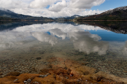
ca sky snow reflection clouds landscape us rocks reservoir peaks redding dusting bedrock calmwater whiskeytownlake shastabally scerene
Heaven Came Down
selfportrait canon naturallight 5dmarkii 70200mmf28lisiiusm cinemastylephotography
Self Portrait - 3
california bridge sky detail reflection photo graphic suspension cable redding santiagocalatrava sacramentoriver novideo sundialbridge photosonly
Sundial in Blue
mossbraefallsdunsmuirburneyfallsmanzanitalakelassennatio mossbraefallsdunsmuirburneyfallsmanzanitalakelassennationalparkdayphotographywitherno
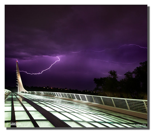
Sundial Bridge Lightning, The Sundial Bridge, Redding, CA
california ca bridge water gardens architecture river geotagged blog interestingness angle unique famous topv999 perspective structures bridges engineering pedestrian arboretum structure historic explore sundial architect rivers calatrava shasta blogged top100 top10 topv9999 frontpage suspensionbridge redding engineer span 28135mm exploratorium santiagocalatrava spans vantage sacramentoriver pedestrianbridge vantagepoint turtlebay top25 sundialbridge top50 shastacounty interestingness8 top500 cablestay i500 famousbridges bridgepix 25faves bridgepixcom turtlebayexplorationpark mcconnellfoundation famousstructures
Sundial Bridge at Turtle Bay
selfportrait canon naturallight 5dmarkii 70200mmf28lisiiusm
Self Portrait - 2
selfportrait canon naturallight 5dmarkii 70200mmf28lisiiusm
Self Portrait - 1
california bridge sunrise calatrava redding sundialbridge
Calatrava's Sundial Bridge, Redding, California
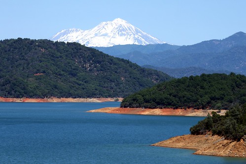
california ca mountain lake snow water beautiful landscape mt view line mount cap mtn shasta snowcap konomark
Mount Shasta
california ca 2001 bridge people favorite reflection girl landscape geotagged nikon blond gwc redding favorited e995 dcsaint views805whenaddedtoviewsgroup
Girl By Bridges
ca sunrise landscape us alpenglow redbluff bedrock shastacounty whiskeytownlake shastabally nohdr
Learning to Glow
clouds sky ground lake shasta trees cloud fog sun outside
Clouds in the Sky Clouds on the Ground
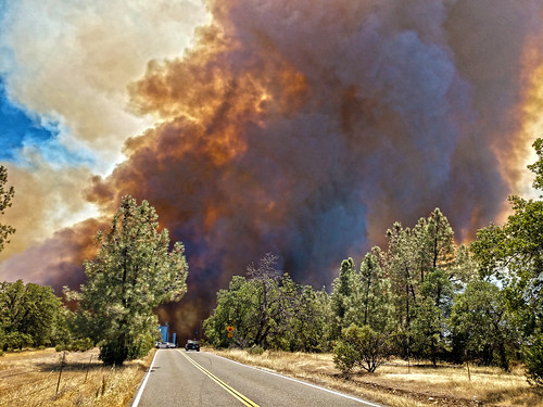
smoke plume creek fire 2018 arson billowing
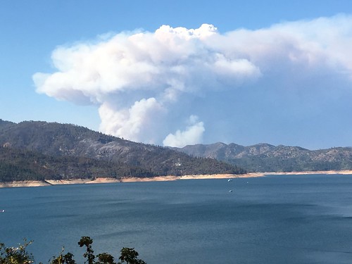
Smoke!
california county ca mountain lake beautiful town view scenic whiskey shasta whiskeytown konomark
Whiskeytown Lake
california ca blue winter sky usa male bird birds closeup female river season liberty freedom fly flying inflight webcam skies nest eagle symbol wildlife pair egg baldeagle january bald patriotic national talon raptor eggs stick prey patriot soaring predator flapping redding flap eagles 100400mm raptors haliaeetusleucocephalus soar nationalbird 2012 nesting sacramentoriver caltrans turtlebay talons shastacounty eaglets nestingpair highway44 eaglecam nestingseason
Bald Eagle Carrying Stick for Nest
geotagged reddingca cliffswallow petrochelidonpyrrhonota pentaxsp1000 soligor200mmƒ35
Cliff Swallow Redding 1991 7
california ca blue winter sky usa fish male bird birds closeup female river season liberty freedom fly flying inflight webcam fishing skies nest eagle symbol wildlife pair egg topv999 hunting january bald patriotic national talon raptor eggs prey patriot soaring predator flapping redding flap eagles 100400mm raptors haliaeetusleucocephalus soar hunt nationalbird 2012 nesting sacramentoriver eagleeye caltrans turtlebay talons shastacounty eaglets baldealge nestingpair highway44 eaglecam nestingseason
Bald Eagle with Fish in Talons - This is "Liberty", the female of the nesting pair at Turtle Bay, Redding, California
california park ca mountain church parish lady catholic peace roman mary north iglesia queen national igreja mtn nocal northern catolica volcanic redding mercy lassen gereja queenofpeace katholic ourladyofmercy konomark
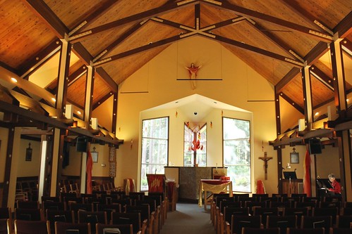
Our Lady of Mercy Parish
bridge structure sundialbridge turtlebay redding sundial sacramentoriver landscape outdoor sky lines
Structure of a Bridge
southernpacific amtrak gp60 sp spshastaroute shastacascadewonderland excursiontrain emd amtk amtrakexcursion railroads trains trestle
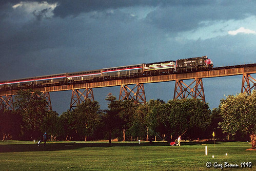
Almost there
carrfirecalfire shastacounty whiskeytownshastatrinityforest
Shasta Dam last night 3 miles from home... second day July 24th, two days before CarrFire
outside natur nature peace beautiful woods skyline flickr natural bluesky sunshine
Park Lake
clouds landscape sundialbridge walk redding sacramentoriver norcal d7200 nikon
171124 Black Friday gold-001J
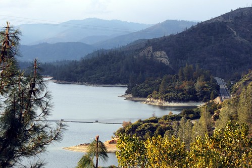
california reservoir whiskeytownlake
Whiskeytown Lake, California, USA
shastacountyshastadamshastastring
Delta Fire 2018
usa landscape nature california sunset la beach light sun summer grass green color bright gold golden sparkle macro inspiration beautiful nice cool park sky peace lovely natural detail repoussoir outside natur sunlight great flickr sunshine shine
Lights/abstract
california ca autumn creek waterfall whiskeytown brandycreek
There we go (Brandy Creek)
california usa mountain lake plant tree nature america painting landscape dock unitedstates whiskeytown shastacounty whiskeytownlake landscapephotography postedonflickr photosbydavid jfflickr davidphotoebook18 postedoninstagram
Reap The Benefits (p)
america california cloud hwy299 jfflickr photosbydavid plant postedonello postedonflickr redding shastacounty sky sunrise tree unitedstates usa unitedstatesofamerica
Birds Barely Awake (p)
california longexposure bridge sunset sky sun water clouds river nikon sundial shasta sacramento redding turtlebay d5200
Sundial Bridge
usa landscape nature california sunset black white contrast sillouette outside natur peace beautiful woods skyline rural flickr natural bnw sky clouds
Tree silhouette
california sony roadtrip northern nationalparkservice whiskeytown nationalrecreationarea 2015 shastacounty whiskeytownlake highway299 a55 sonyalpha dt1650mmf28
Spring Day--DSC1065--Whiskeytown Lake, CA
california ca blue light sunset mountain lake mountains reflection nature water forest canon landscape eos mirror woods pretty mark wide scenic national valley norcal westcoast f28 mk recreational whiskeytown ultrawideangle 14mm 14l 35d f28l areanational 5d3 iii5d arearecreational areawhiskeytown angle5dmk35dmkiii5d iiiwhiskeytown
Whiskeytown Lake Sunset [04.02.13]
california bridge sunset sky sun clouds river nikon sundial sacramento redding d5200
It's Golden!
california sunset sky water colors beautiful clouds river nikon colorful sacramento redding d5200
Last Light
autumn whiskeytown brandycreek
Heart of Gold (Brand Creek)
redding california unitedstates us
six rivers national forest
sunset clouds beam sunbeams god rays sundial bridge river sacramento redding california norcal landscape cloudsstormssunsetssunrises
sundial sunbeams
america california cloud jfflickr photosbydavid plant postedonflickr redding shastacounty sky sunrise tree unitedstates usa unitedstatesofamerica
Early Light