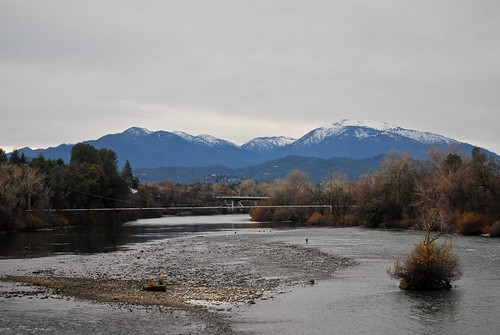
Elevation of Record Ln, Redding, CA, USA

Location: United States > California > Shasta County > Redding > Mary Lake >

Longitude: -122.43101

Latitude: 40.567433

Elevation: 232m / 761feet

Barometric Pressure: 99KPa

Elevation Map:

elevation map of Record Ln, Redding, CA, USA

Satellite Map:

Satellite map of Record Ln, Redding, CA, USA

Related Photos:

california sunset nature landscape explore redding sacramentoriver 200811
Sunset over Sacramento River
california ca bridge water gardens architecture river landscape interestingness angle famous topv999 perspective structures bridges engineering pedestrian arboretum structure historic explore sundial architect rivers calatrava shasta top100 top10 topv9999 frontpage suspensionbridge redding engineer span 28135mm exploratorium santiagocalatrava spans sacramentoriver pedestrianbridge turtlebay top25 sundialbridge top50 shastacounty cablestaybridge interestingness3 top500 cablestay 100faves i500 famousbridges landscapephotos turtlebayexplorationpark mcconnellfoundation abigfave specobject sundialbridgeatturtlebay landscapephoto famousstructures
Sundial Bridge at Turtle Bay (II)
mountain lake snow mountains delete10 fb dam save3 shasta mountshasta mtshasta hdr shastalake shastadam threeshastas blueribbonwinner 3exp mywinners anawesomeshot 3shastas diamondclassphotographer flickrdiamond
3 Shastas in HDR
california county ca mountain lake beautiful town view scenic whiskey shasta whiskeytown konomark
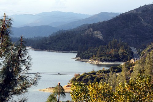
Whiskeytown Lake
california ca 2001 bridge people favorite reflection girl landscape geotagged nikon blond gwc redding favorited e995 dcsaint views805whenaddedtoviewsgroup
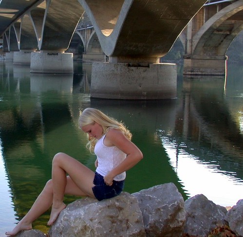
Girl By Bridges
california northerncalifornia redding
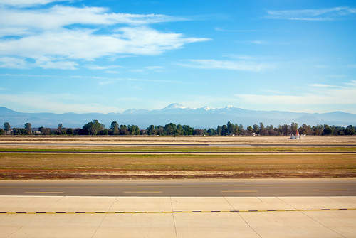
Mount Lassen
Sundial Bridge at Turtle Bay Exploration Park facing Sacramento River east view in Redding, California.
ca sky snow reflection clouds landscape us rocks reservoir peaks redding dusting bedrock calmwater whiskeytownlake shastabally scerene
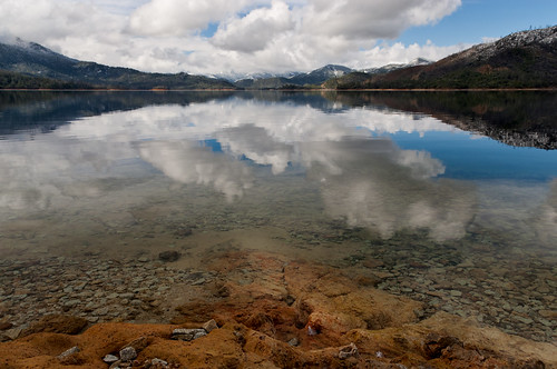
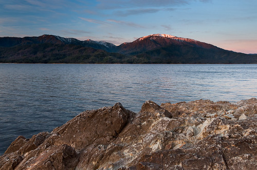
Heaven Came Down
square lofi squareformat iphoneography instagramapp uploaded:by=instagram foursquare:venue=4bd37b3cb221c9b686e6d9d0
Pretty views at #whiskeytown lake
california bridge flickr group vietnam starbucks obrien dodge northern redding durango veterans users according owners acdsee d80 imagekind obd80 usersnilon
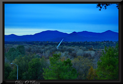
O'B (5)
ca sunrise landscape us alpenglow redbluff bedrock shastacounty whiskeytownlake shastabally nohdr
Learning to Glow
square squareformat normal iphoneography instagramapp uploaded:by=instagram foursquare:venue=4b0e1a9bf964a520085523e3
View just now from the hotel room. #sunset #colorful #clouds #sky #evening #winter #redding #california #roadtrip #Creation #beauty #ipod #ipodtouch #igdaily #igaddicts #instagold #instagood #instagram
longexposure water creek nikon boulders brandy whiskeytown brandycreek d90
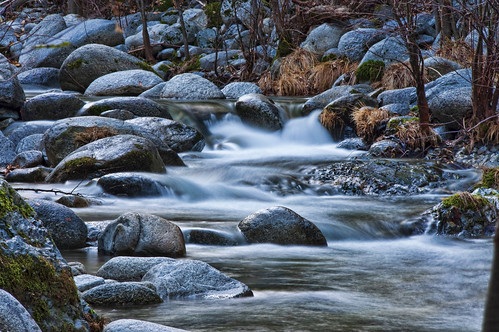
BrandyCreek11-09-2T
california trees winter panorama sun snow mountains nature sepia photoshop river landscape blackwhite shadows unitedstates sacramento redding tamron18200mm sonya500 antonioesposito
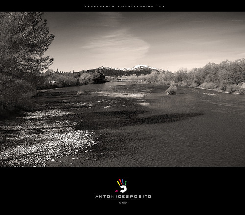
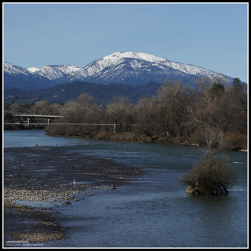
Sacramento River - Redding, CA
california trip vacation lake view august 2014 whisleytown
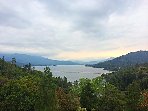
Whiskeytown Lake, California
california county ca snow top mount covered shasta mtshasta redding montain konomark
Mt. Shasta
california blue winter panorama usa mountain snow river redding sonya500 sundialbrige antonioesposito
California Winter
california bridge flickr group vietnam starbucks obrien dodge northern redding durango veterans users according owners acdsee d80 imagekind obd80 usersnilon
O'B (4)
california northerncalifornia landscape redding
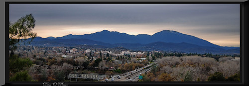
Redding morning
eyefi
View of River trail between Kesswick dam and Shasta Dam
california winter mountains river redding whiskeytown
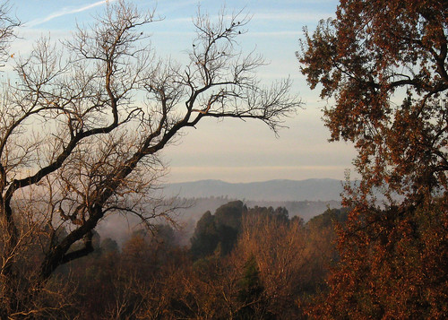
View of Whiskeytown NRA