Elevation of N Hall St, Fairfield, TX, USA
| Latitude | 31.7293562 |
|---|---|
| Longitude | -96.1578976 |
| Elevation | 147m / 482feet |
| Barometric Pressure | 996KPa |
Related Photos:

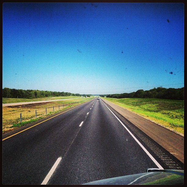
Old 75
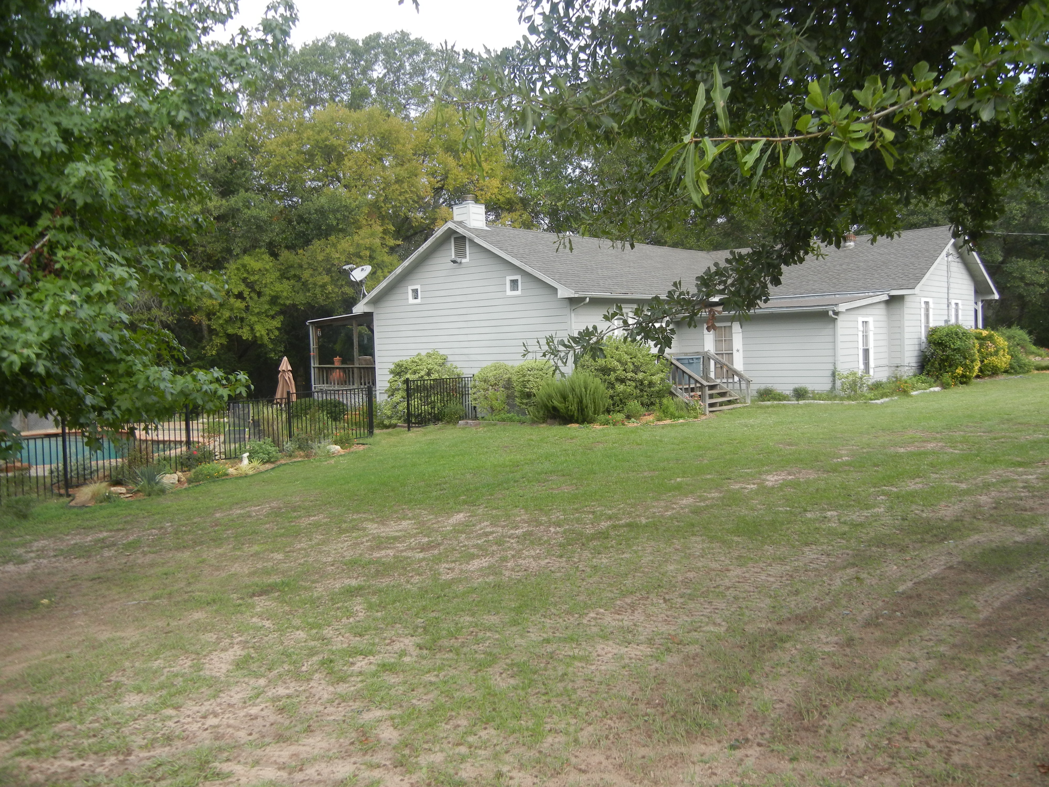
House view from the South
#i45 & I #Texss.
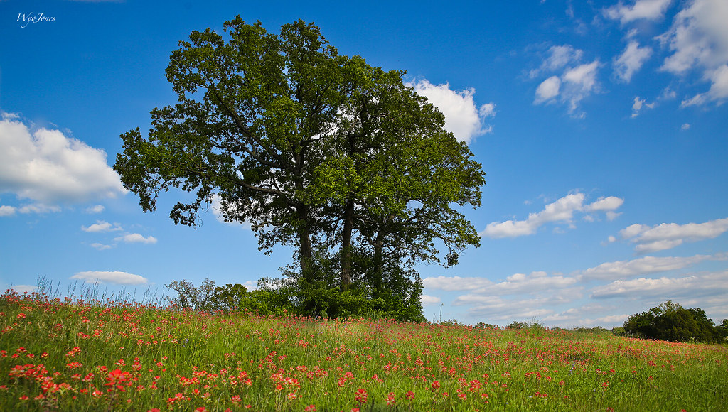
Oak Trees In Sping
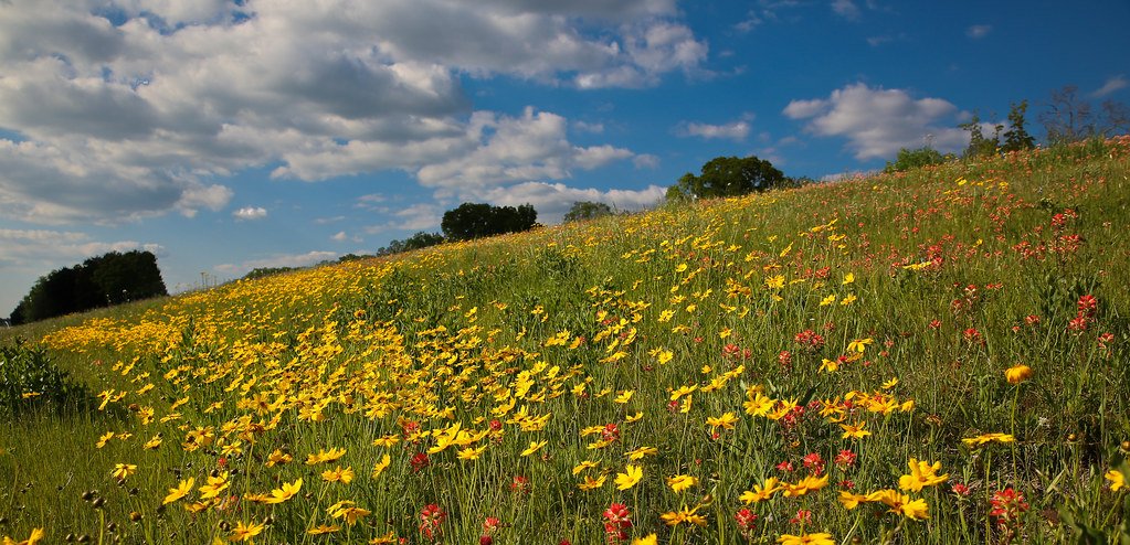
Spring Hillside

Yep.
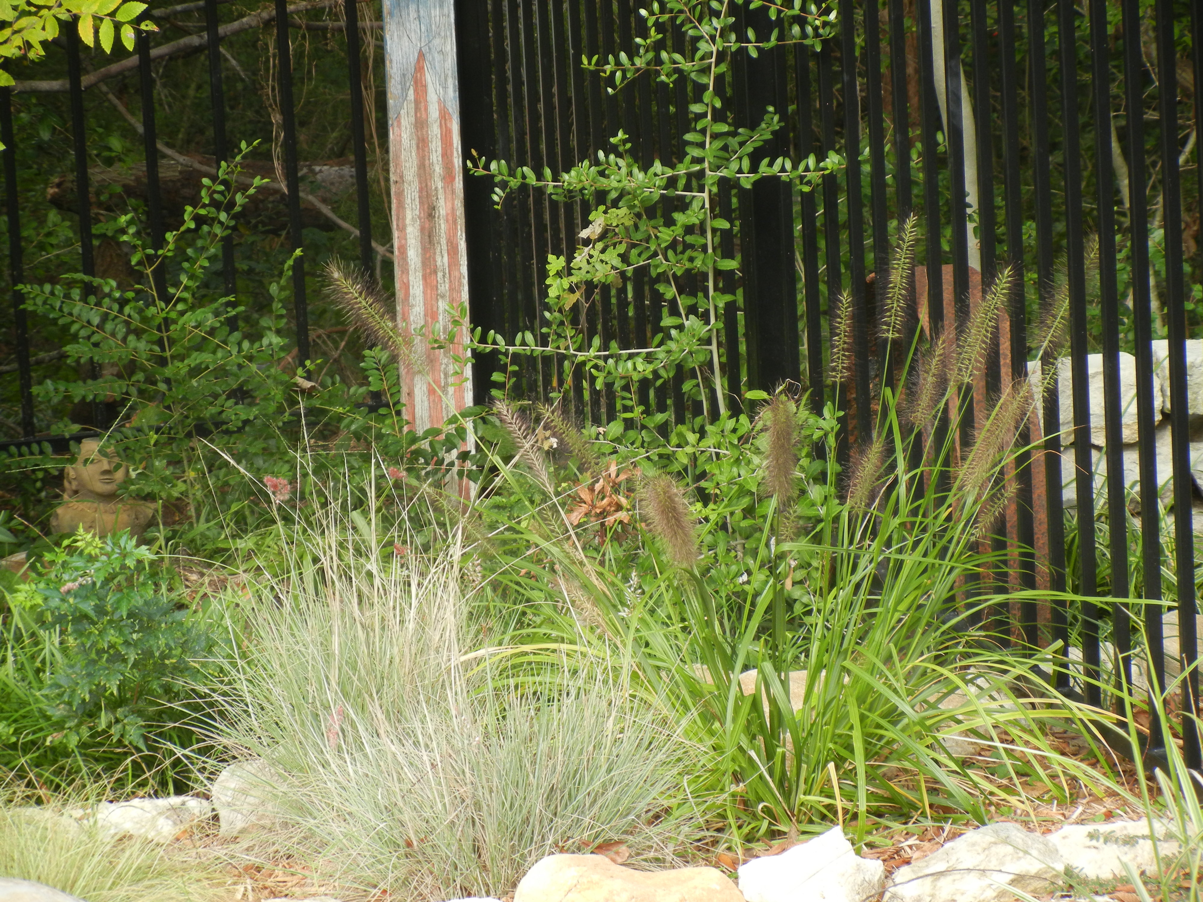
Pool Plantings
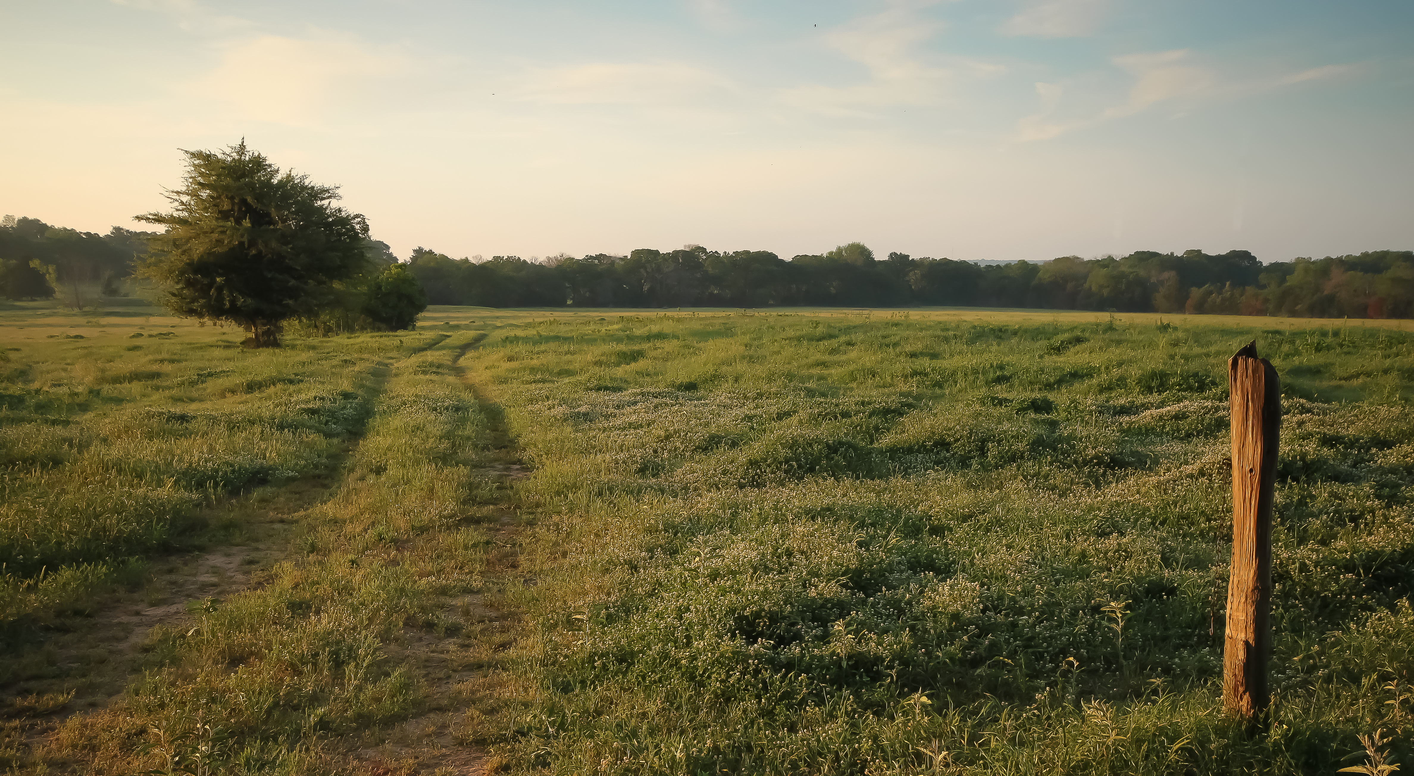
warm morning light
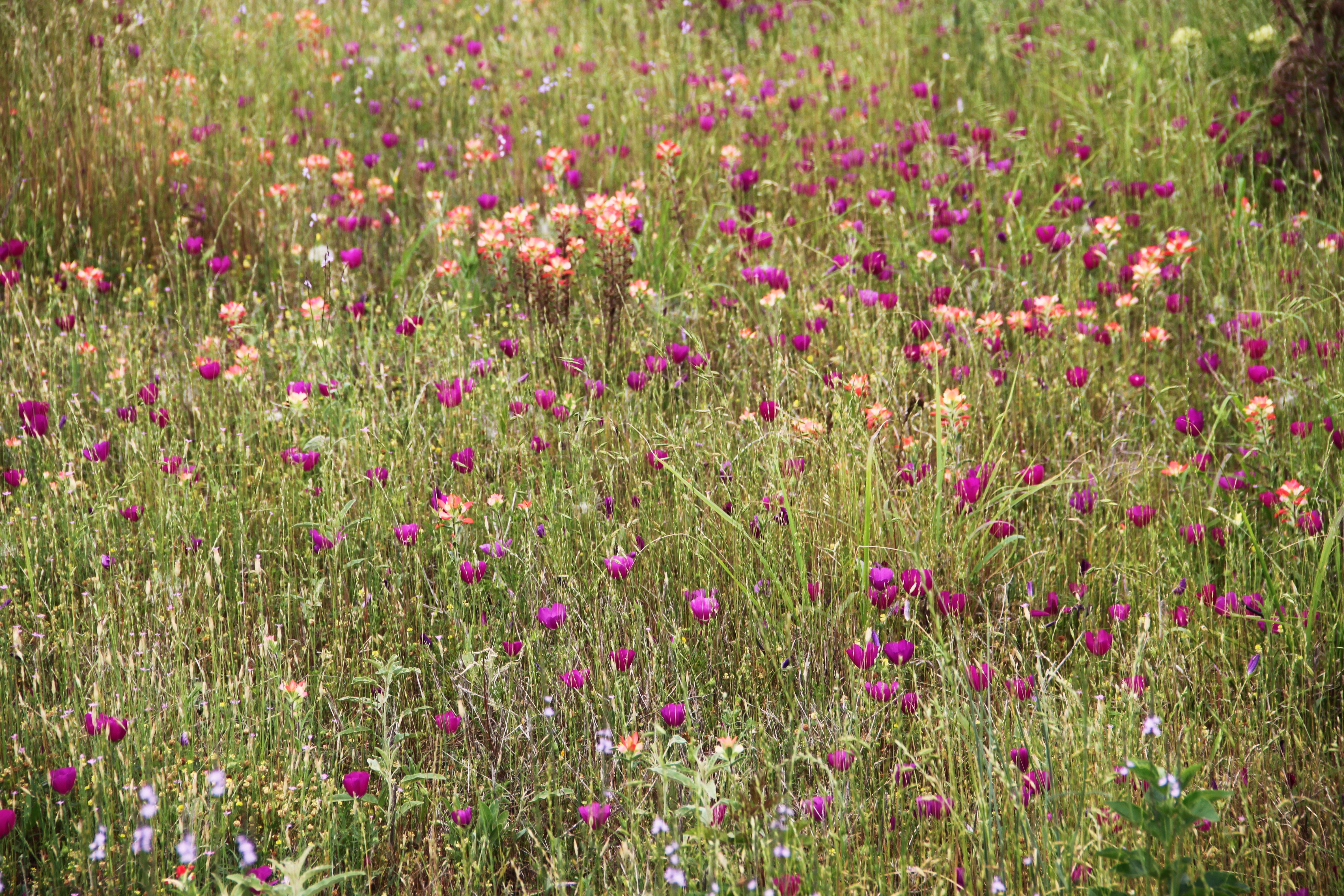
roadside beauty
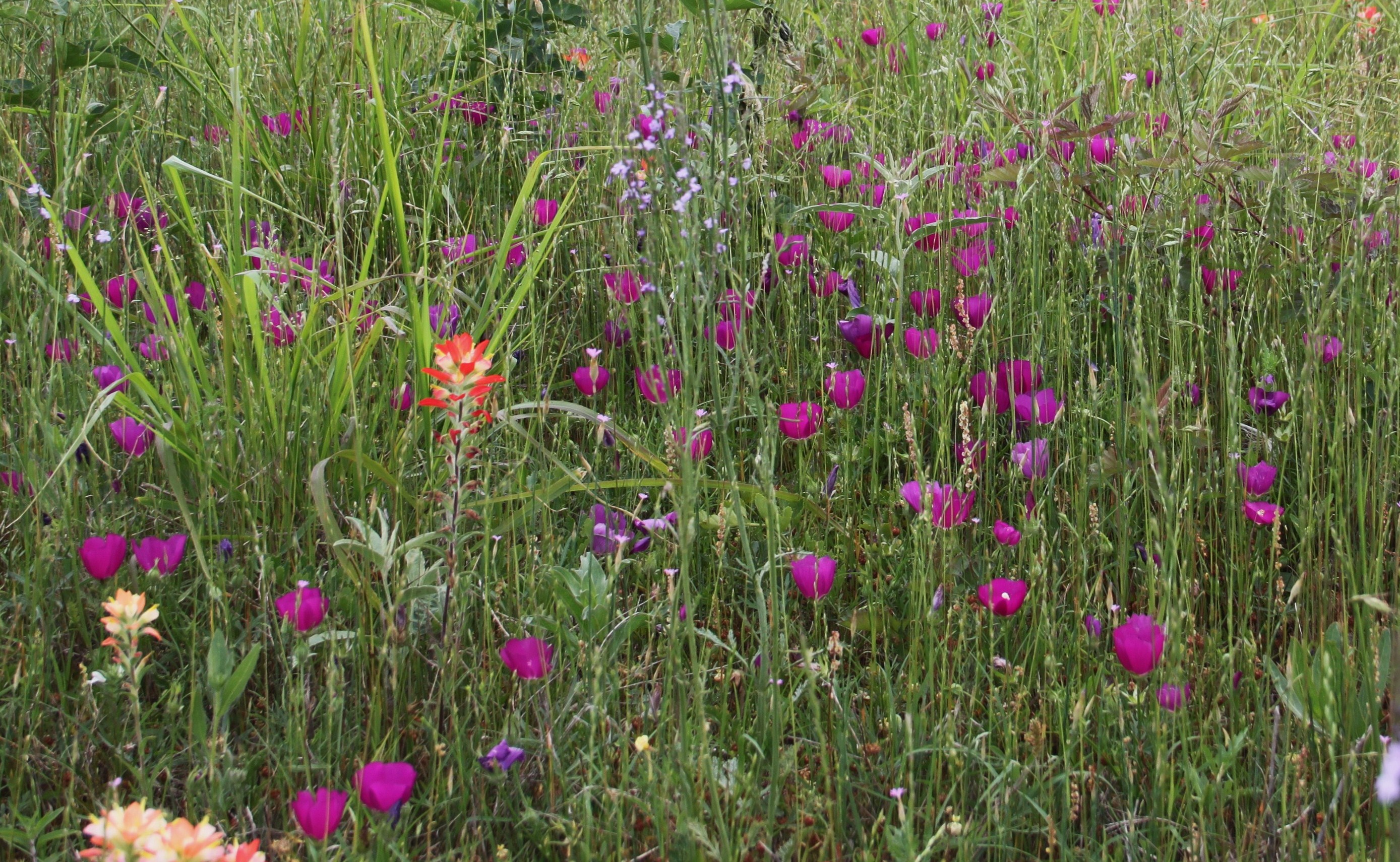
purple poppy mallow

Butterfly On Globe Thistle
Topographic Map of N Hall St, Fairfield, TX, USA
Find elevation by address:
Places near N Hall St, Fairfield, TX, USA:
Fairfield
Freestone County
TX-75, Fairfield, TX, USA
Farm To Market Road 1580
361 Co Rd 431
TX-75, Teague, TX, USA
Teague
Main St, Streetman, TX, USA
132 Co Rd 930
132 Co Rd 930
County Road 930
US-84, Fairfield, TX, USA
110 April Cove
Winkler
225 Pelican Point
Streetman
535 F County Rd 751
275 Pr 307
470 Co Rd 995
Main St, Donie, TX, USA
Recent Searches:
- Elevation of 104, Chancery Road, Middletown Township, Bucks County, Pennsylvania, 19047, USA
- Elevation of 1212, Cypress Lane, Dayton, Liberty County, Texas, 77535, USA
- Elevation map of Central Hungary, Hungary
- Elevation map of Pest, Central Hungary, Hungary
- Elevation of Pilisszentkereszt, Pest, Central Hungary, Hungary
- Elevation of Dharamkot Tahsil, Punjab, India
- Elevation of Bhinder Khurd, Dharamkot Tahsil, Punjab, India
- Elevation of 2881, Chabot Drive, San Bruno, San Mateo County, California, 94066, USA
- Elevation of 10370, West 107th Circle, Westminster, Jefferson County, Colorado, 80021, USA
- Elevation of 611, Roman Road, Old Ford, Bow, London, England, E3 2RW, United Kingdom
- Elevation of 116, Beartown Road, Underhill, Chittenden County, Vermont, 05489, USA
- Elevation of Window Rock, Colfax County, New Mexico, 87714, USA
- Elevation of 4807, Rosecroft Street, Kempsville Gardens, Virginia Beach, Virginia, 23464, USA
- Elevation map of Matawinie, Quebec, Canada
- Elevation of Sainte-Émélie-de-l'Énergie, Matawinie, Quebec, Canada
- Elevation of Rue du Pont, Sainte-Émélie-de-l'Énergie, Matawinie, Quebec, J0K2K0, Canada
- Elevation of 8, Rue de Bécancour, Blainville, Thérèse-De Blainville, Quebec, J7B1N2, Canada
- Elevation of Wilmot Court North, 163, University Avenue West, Northdale, Waterloo, Region of Waterloo, Ontario, N2L6B6, Canada
- Elevation map of Panamá Province, Panama
- Elevation of Balboa, Panamá Province, Panama