Elevation of Winkler, TX, USA
| Latitude | 31.938216 |
|---|---|
| Longitude | -96.2088617 |
| Elevation | 120m / 394feet |
| Barometric Pressure | 999KPa |
Related Photos:

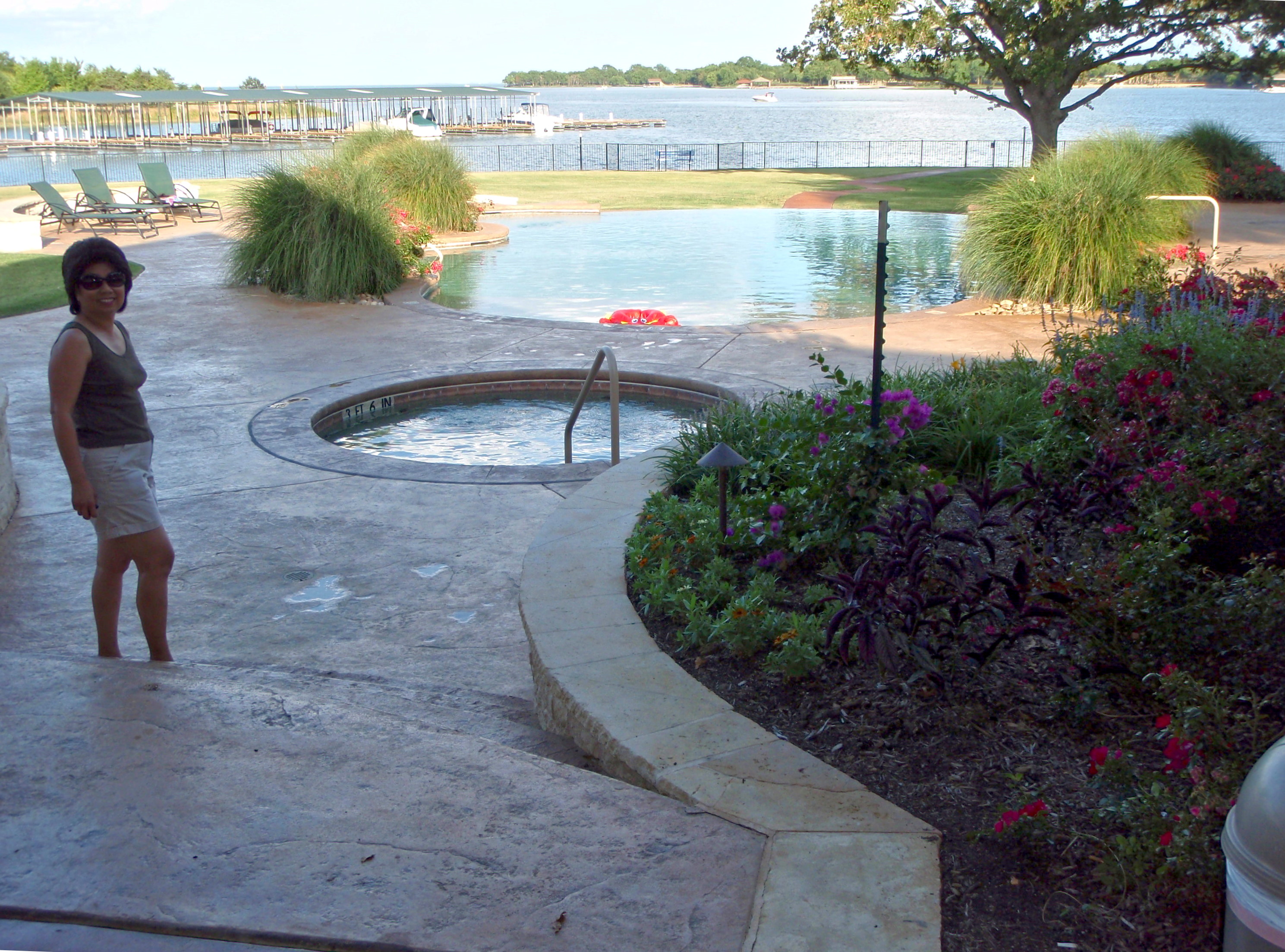
Fourth of July at the Shores

Old 75

Douglas AD-5W / EA1-E Skyraider

Douglas AD-5W / EA1-E Skyraider

Fourth of July at the Shores
Fourth of July at the Shores

Fourth of July at the Shores

Cattle Egret Chick

Wood Stork...
Topographic Map of Winkler, TX, USA
Find elevation by address:
Places near Winkler, TX, USA:
225 Pelican Point
110 April Cove
Clubhouse Drive
Southeast 3137
Streetman
Navarro
Crse, Corsicana, TX, USA
Freestone County
Kerens
Main St, Streetman, TX, USA
304 N Hall St
Fairfield
Richland
470 Co Rd 995
Trinidad
Angus
2010 Se County Rd 0050
TX-75, Fairfield, TX, USA
1051 Lake Halbert Rd
3801 Us-287
Recent Searches:
- Elevation map of Central Hungary, Hungary
- Elevation map of Pest, Central Hungary, Hungary
- Elevation of Pilisszentkereszt, Pest, Central Hungary, Hungary
- Elevation of Dharamkot Tahsil, Punjab, India
- Elevation of Bhinder Khurd, Dharamkot Tahsil, Punjab, India
- Elevation of 2881, Chabot Drive, San Bruno, San Mateo County, California, 94066, USA
- Elevation of 10370, West 107th Circle, Westminster, Jefferson County, Colorado, 80021, USA
- Elevation of 611, Roman Road, Old Ford, Bow, London, England, E3 2RW, United Kingdom
- Elevation of 116, Beartown Road, Underhill, Chittenden County, Vermont, 05489, USA
- Elevation of Window Rock, Colfax County, New Mexico, 87714, USA
- Elevation of 4807, Rosecroft Street, Kempsville Gardens, Virginia Beach, Virginia, 23464, USA
- Elevation map of Matawinie, Quebec, Canada
- Elevation of Sainte-Émélie-de-l'Énergie, Matawinie, Quebec, Canada
- Elevation of Rue du Pont, Sainte-Émélie-de-l'Énergie, Matawinie, Quebec, J0K2K0, Canada
- Elevation of 8, Rue de Bécancour, Blainville, Thérèse-De Blainville, Quebec, J7B1N2, Canada
- Elevation of Wilmot Court North, 163, University Avenue West, Northdale, Waterloo, Region of Waterloo, Ontario, N2L6B6, Canada
- Elevation map of Panamá Province, Panama
- Elevation of Balboa, Panamá Province, Panama
- Elevation of San Miguel, Balboa, Panamá Province, Panama
- Elevation of Isla Gibraleón, San Miguel, Balboa, Panamá Province, Panama