Elevation of Teague, TX, USA
Location: United States > Texas > Freestone County >
Longitude: -96.283862
Latitude: 31.6271145
Elevation: 151m / 495feet
Barometric Pressure: 0KPa
Related Photos:

Fairfield House
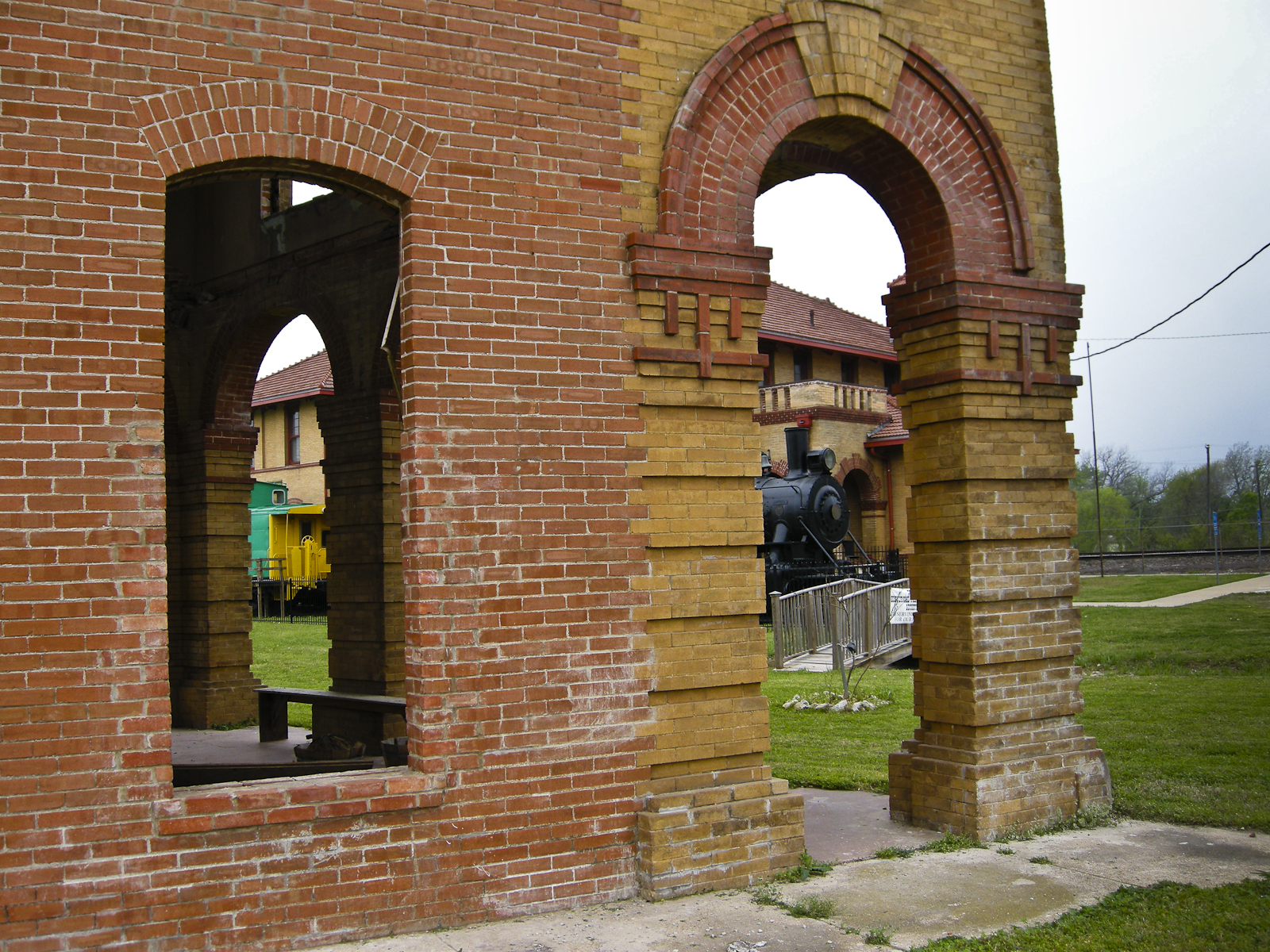
Teague Hotel with view of Big Mike and the train Depot
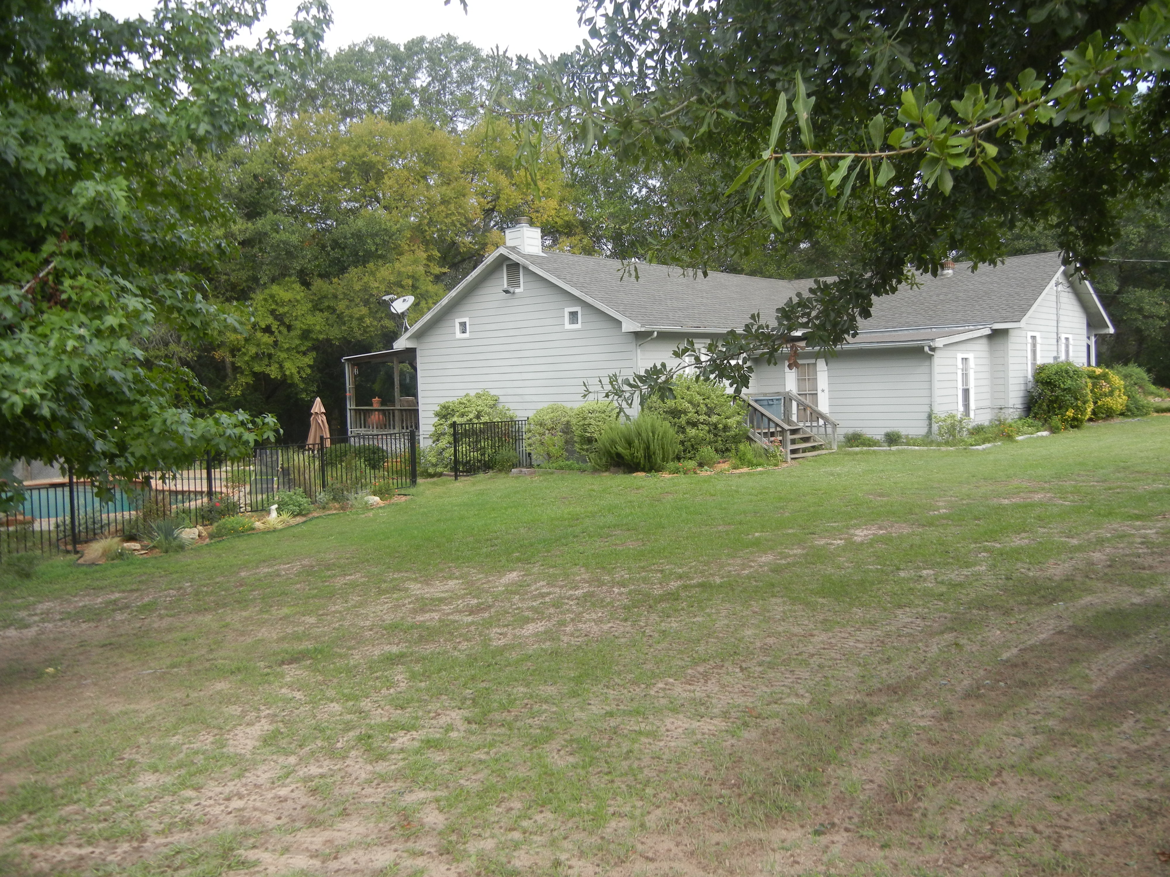
House view from the South

Three Doors
#i45 & I #Texss.

Oak Trees In Sping

Spring Hillside
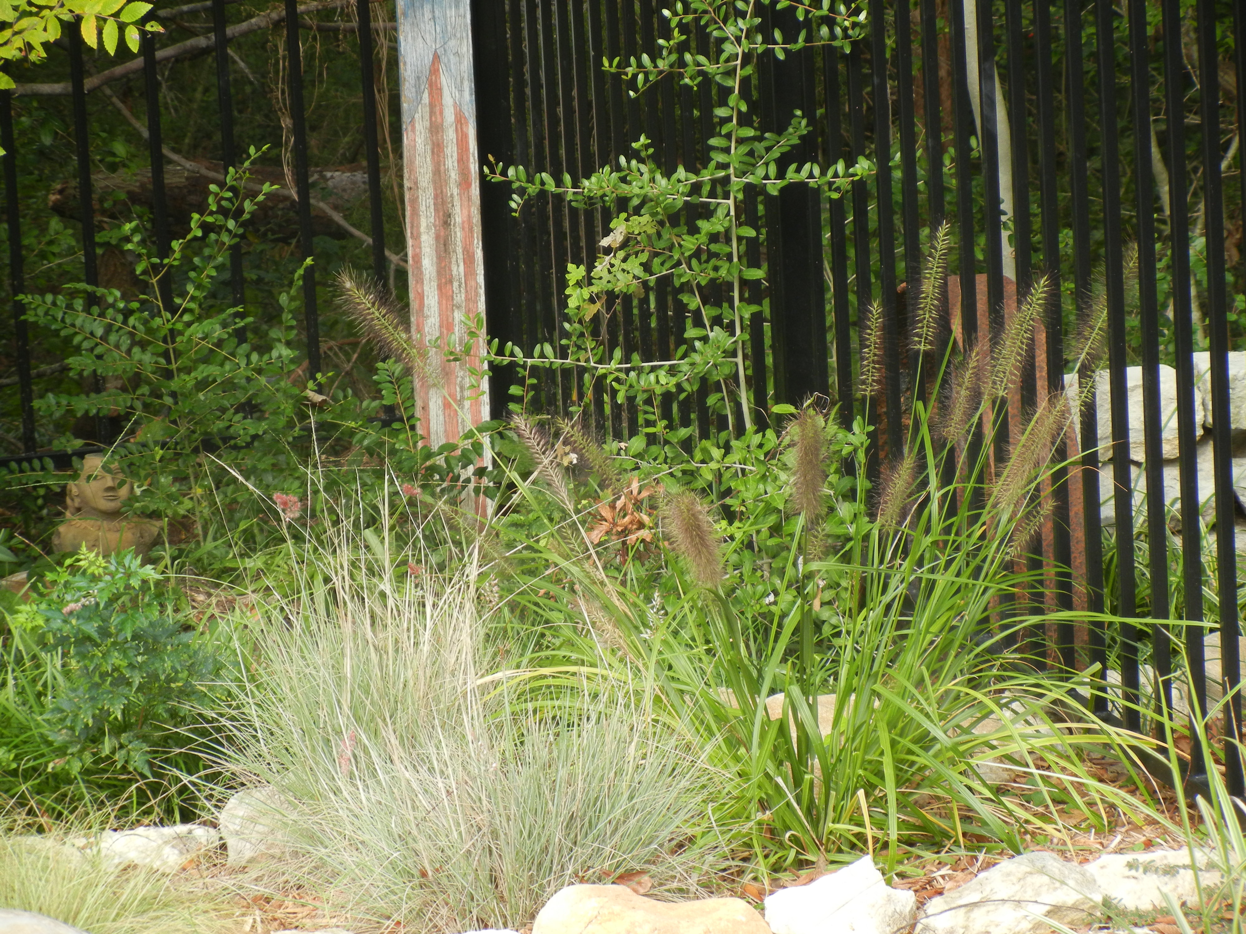
Pool Plantings
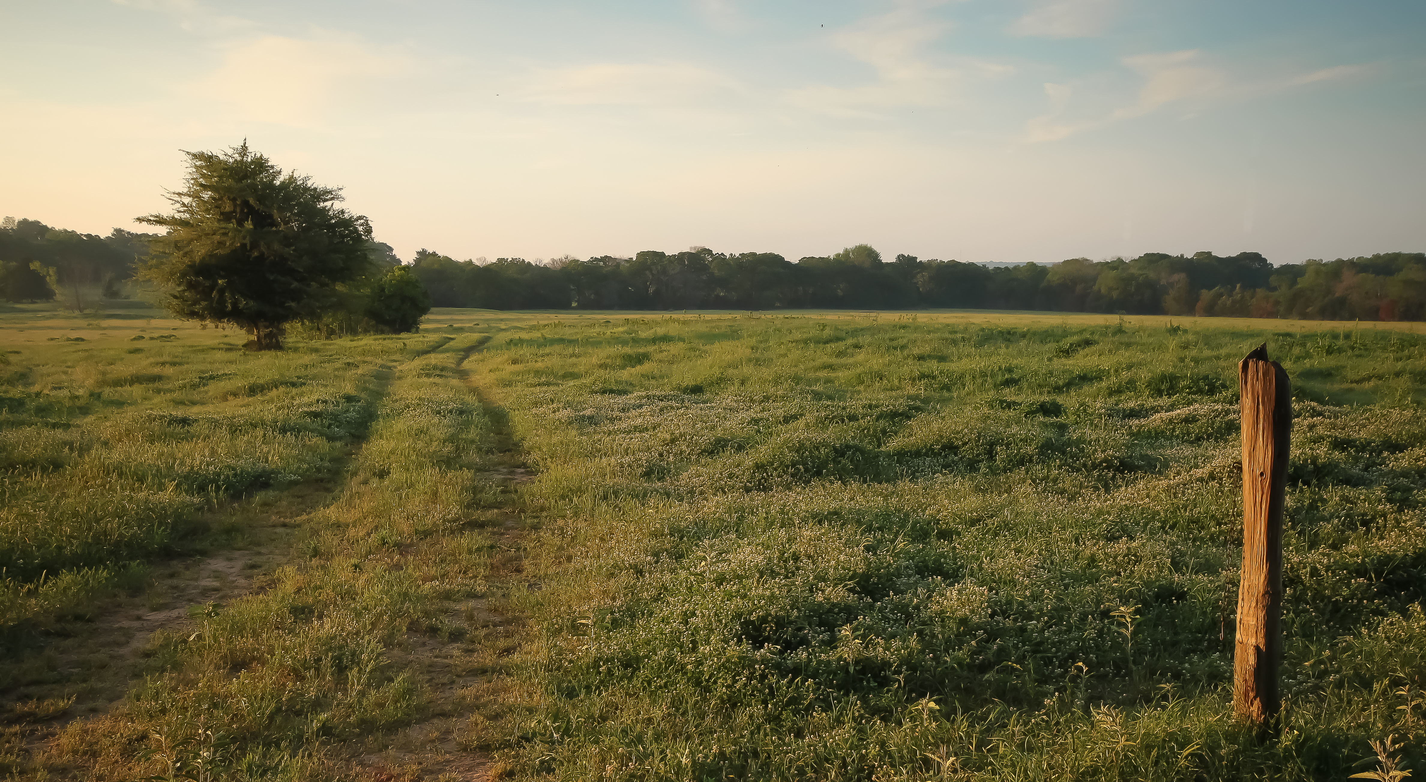
warm morning light

Flowers of the Field

roadside beauty
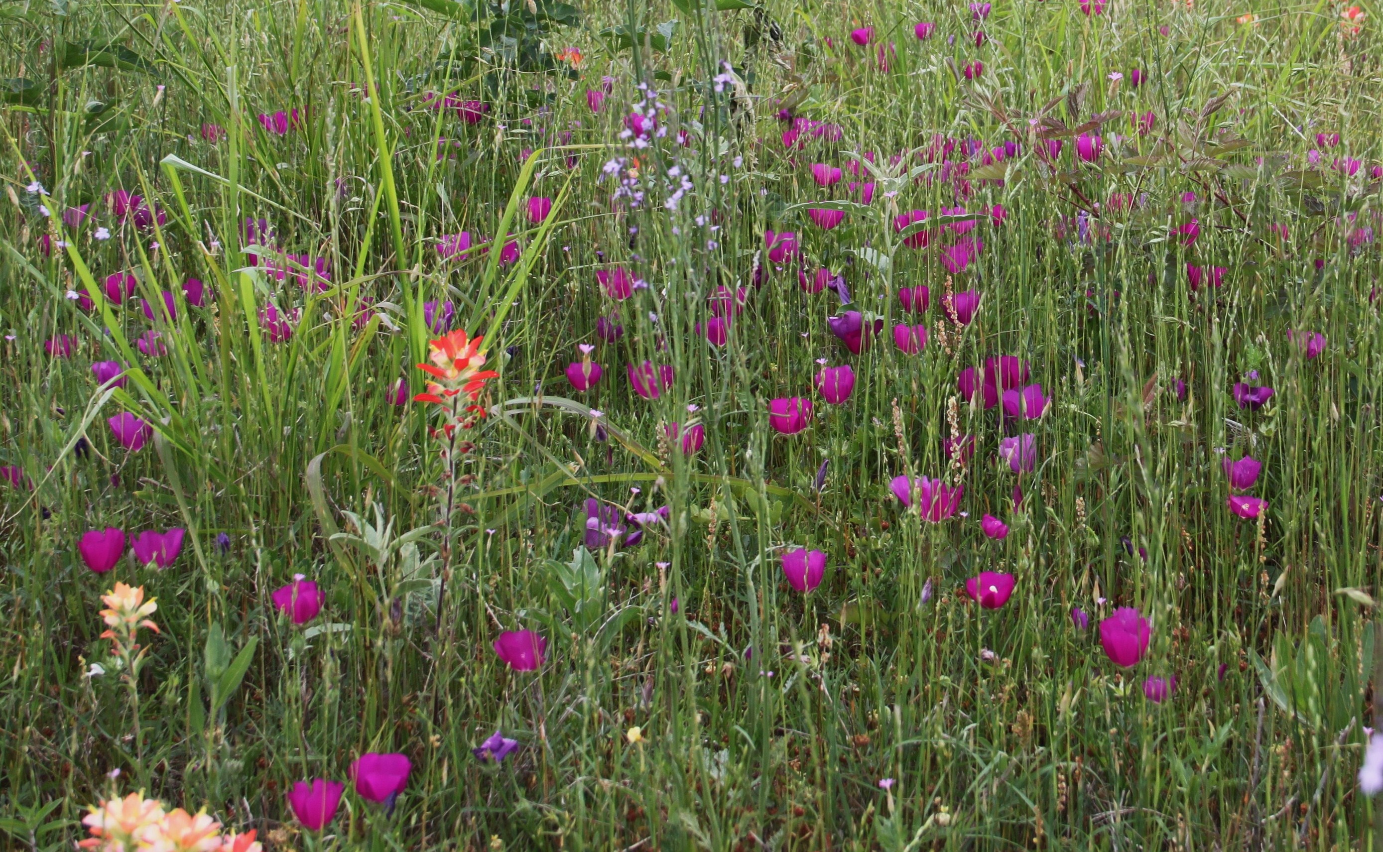
purple poppy mallow

Big Texas Sky
Topographic Map of Teague, TX, USA
Find elevation by address:

Places in Teague, TX, USA:
Places near Teague, TX, USA:
132 Co Rd 930
132 Co Rd 930
County Road 930
Lcr 443
535 F County Rd 751
TX-75, Fairfield, TX, USA
Main St, Streetman, TX, USA
TX-75, Teague, TX, USA
Fairfield
Farm To Market Road 1580
Main St, Donie, TX, USA
Donie
304 N Hall St
FM, Groesbeck, TX, USA
Freestone County
Donie, TX, USA
Mexia
470 Co Rd 995
419 Lcr 779
Lcr911
Recent Searches:
- Elevation of 10370, West 107th Circle, Westminster, Jefferson County, Colorado, 80021, USA
- Elevation of 611, Roman Road, Old Ford, Bow, London, England, E3 2RW, United Kingdom
- Elevation of 116, Beartown Road, Underhill, Chittenden County, Vermont, 05489, USA
- Elevation of Window Rock, Colfax County, New Mexico, 87714, USA
- Elevation of 4807, Rosecroft Street, Kempsville Gardens, Virginia Beach, Virginia, 23464, USA
- Elevation map of Matawinie, Quebec, Canada
- Elevation of Sainte-Émélie-de-l'Énergie, Matawinie, Quebec, Canada
- Elevation of Rue du Pont, Sainte-Émélie-de-l'Énergie, Matawinie, Quebec, J0K2K0, Canada
- Elevation of 8, Rue de Bécancour, Blainville, Thérèse-De Blainville, Quebec, J7B1N2, Canada
- Elevation of Wilmot Court North, 163, University Avenue West, Northdale, Waterloo, Region of Waterloo, Ontario, N2L6B6, Canada
- Elevation map of Panamá Province, Panama
- Elevation of Balboa, Panamá Province, Panama
- Elevation of San Miguel, Balboa, Panamá Province, Panama
- Elevation of Isla Gibraleón, San Miguel, Balboa, Panamá Province, Panama
- Elevation of 4655, Krischke Road, Schulenburg, Fayette County, Texas, 78956, USA
- Elevation of Carnegie Avenue, Downtown Cleveland, Cleveland, Cuyahoga County, Ohio, 44115, USA
- Elevation of Walhonding, Coshocton County, Ohio, USA
- Elevation of Clifton Down, Clifton, Bristol, City of Bristol, England, BS8 3HU, United Kingdom
- Elevation map of Auvergne-Rhône-Alpes, France
- Elevation map of Upper Savoy, Auvergne-Rhône-Alpes, France