Elevation of N Devon Ave, East Wenatchee, WA, USA
| Latitude | 47.421927 |
|---|---|
| Longitude | -120.286915 |
| Elevation | 250m / 820feet |
| Barometric Pressure | 984KPa |
Related Photos:
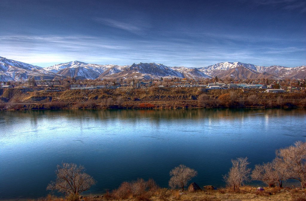
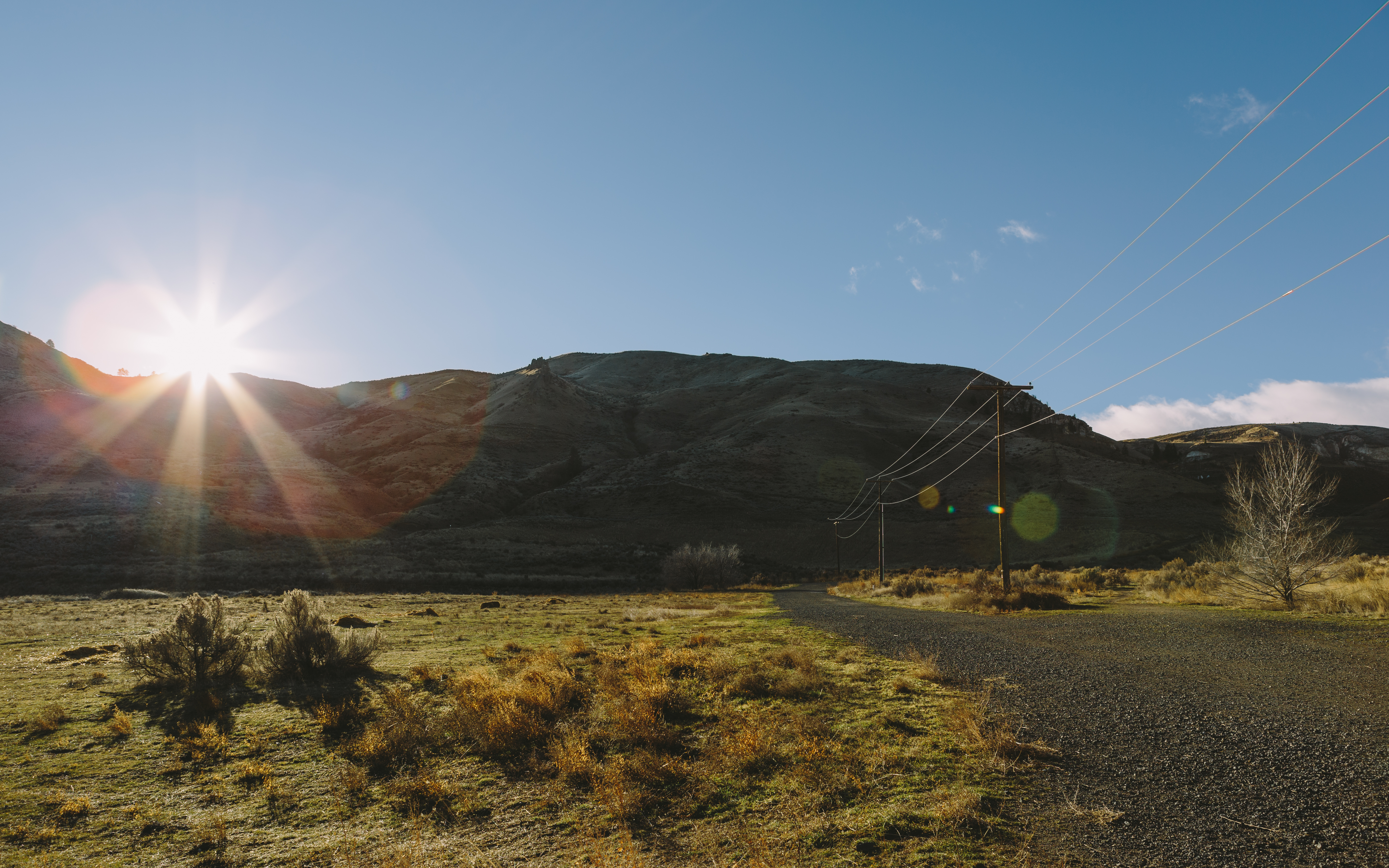
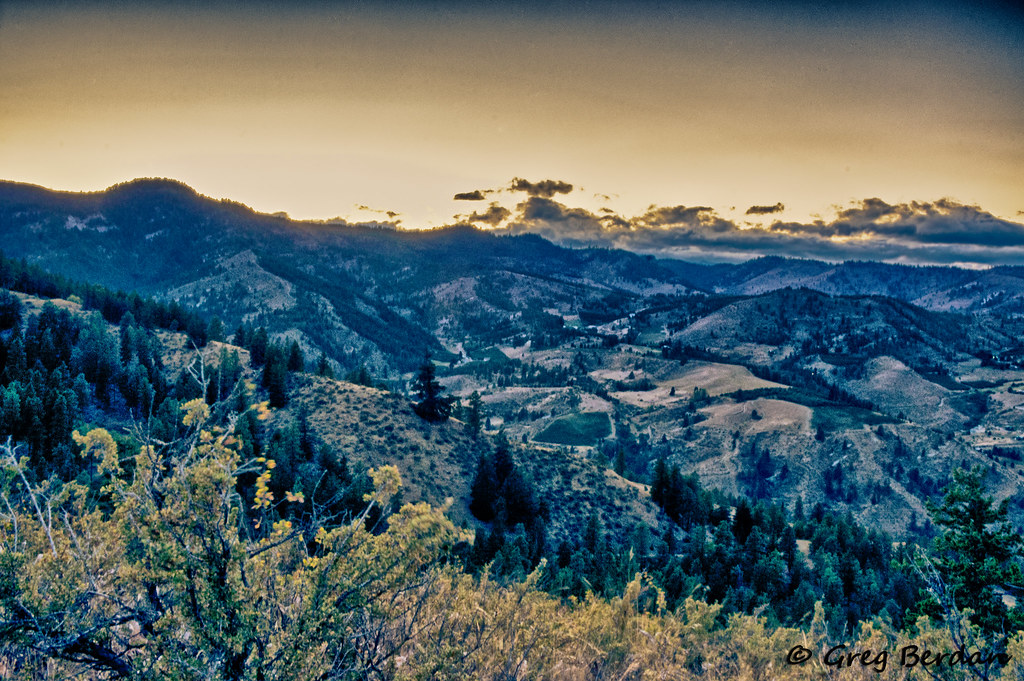
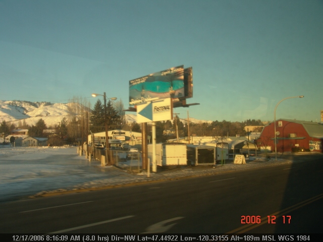
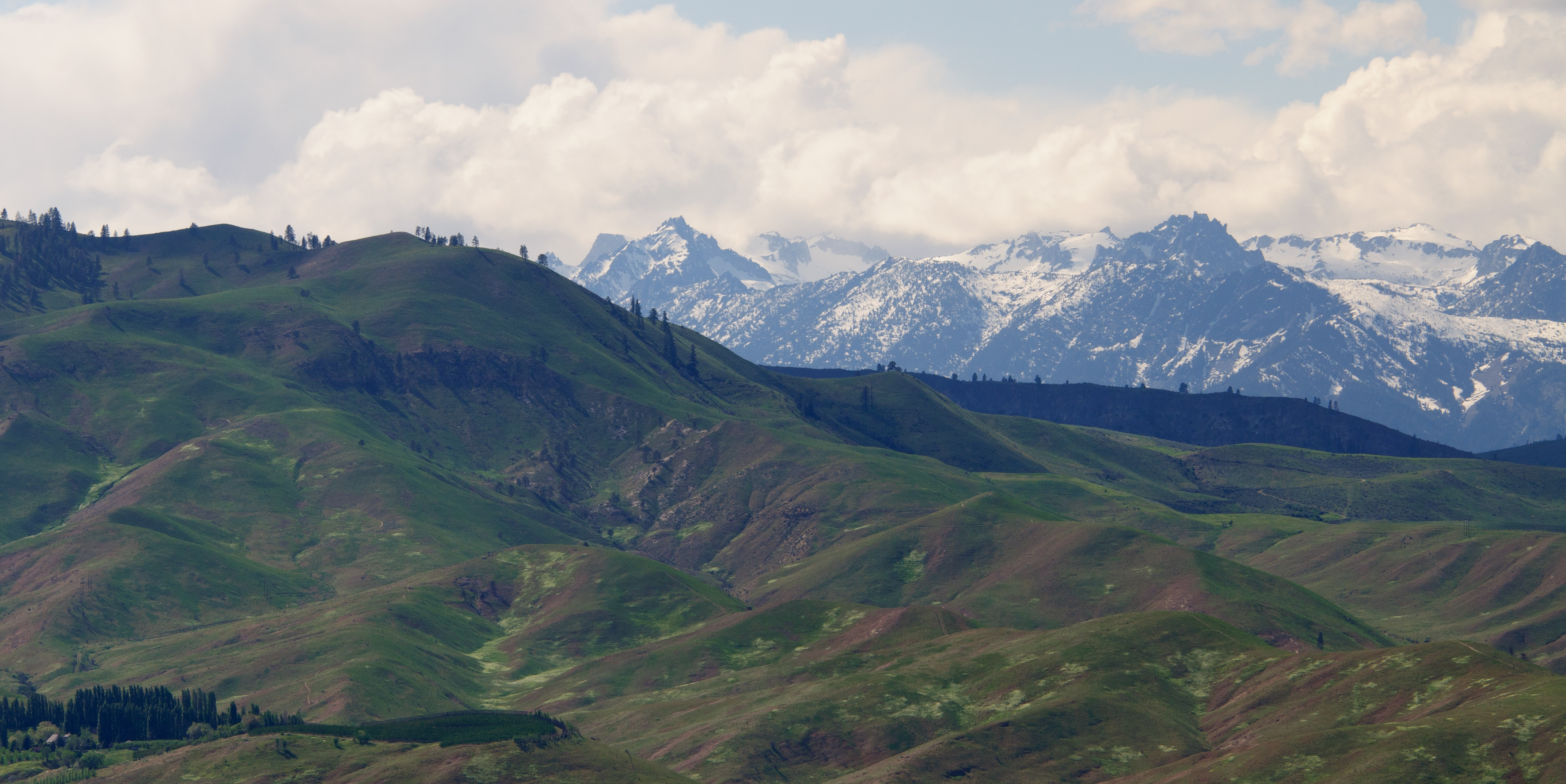
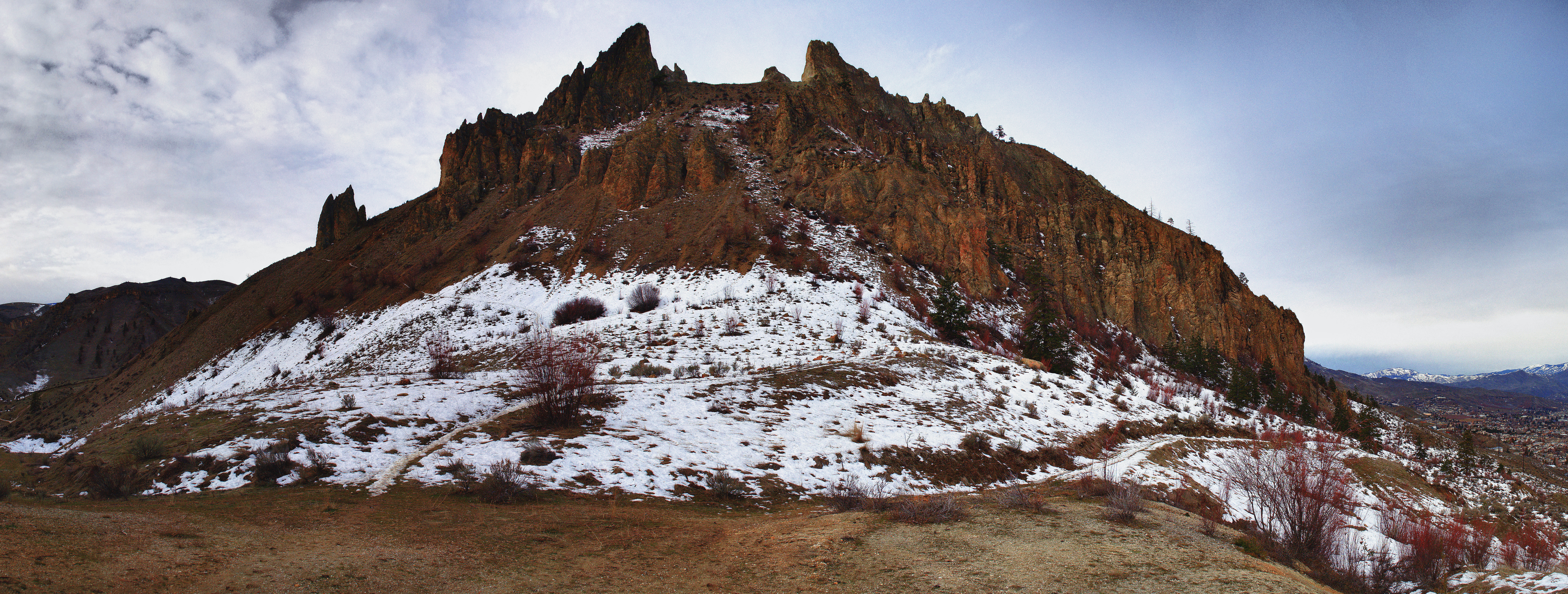
Wenatchee Valley View II
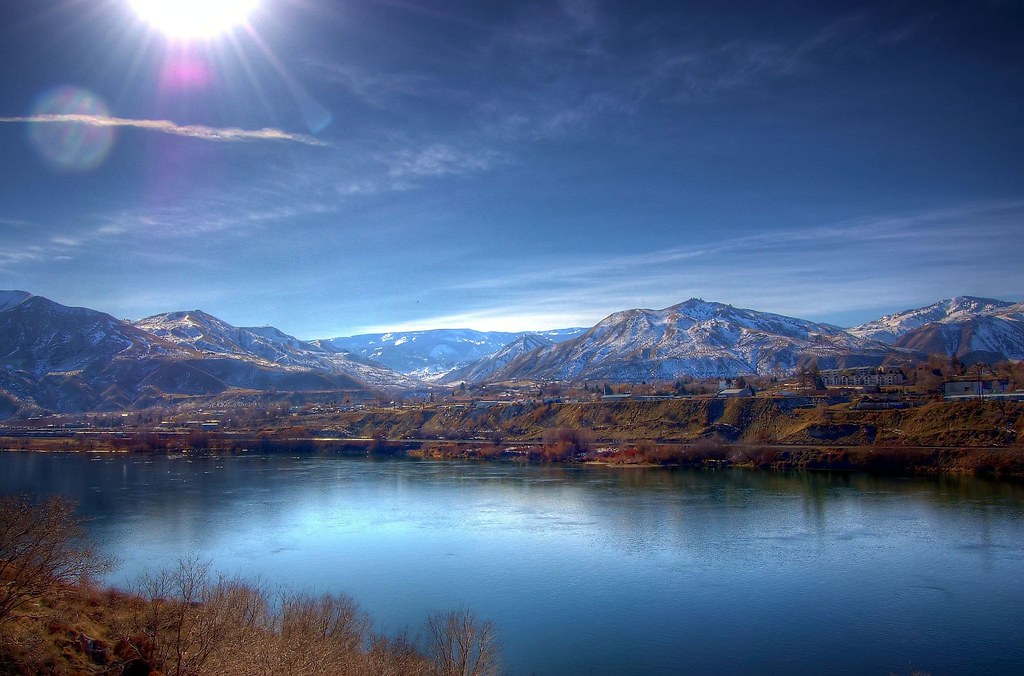
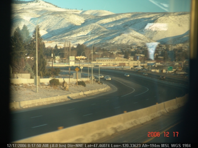
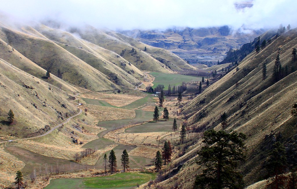
Wenatchee Valley View
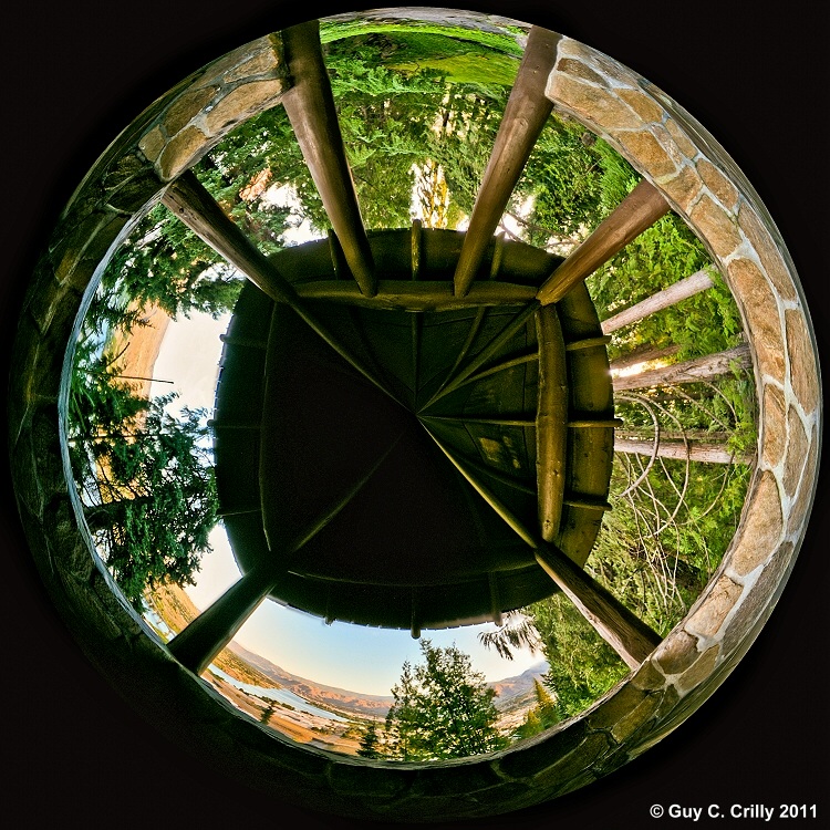
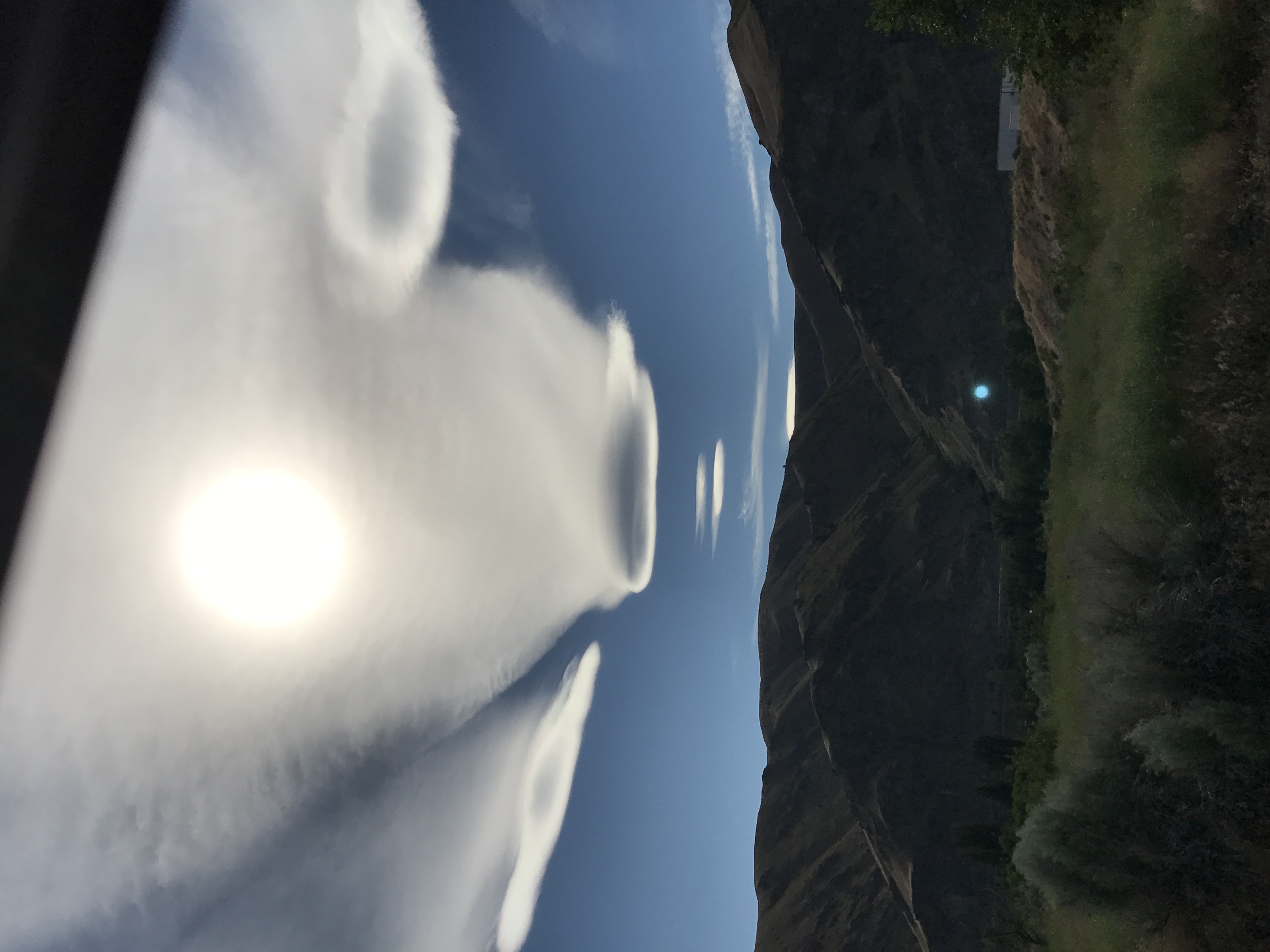
Looking Out of the Lookout
Autumn Relaxing On The Steps
Put There By The Land

Frazzled - Explored
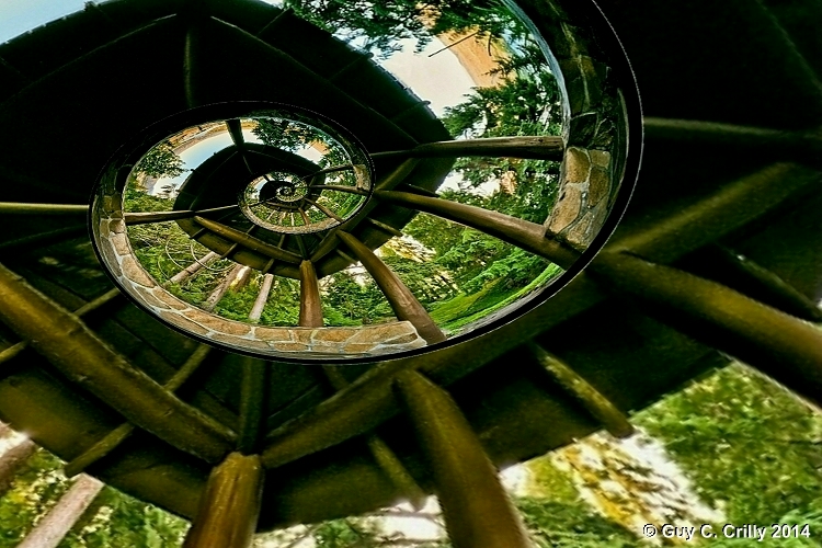
Spiral Roof
We Will Rise
Spare a glance

Golden Eagle
View of Halverson Canyon
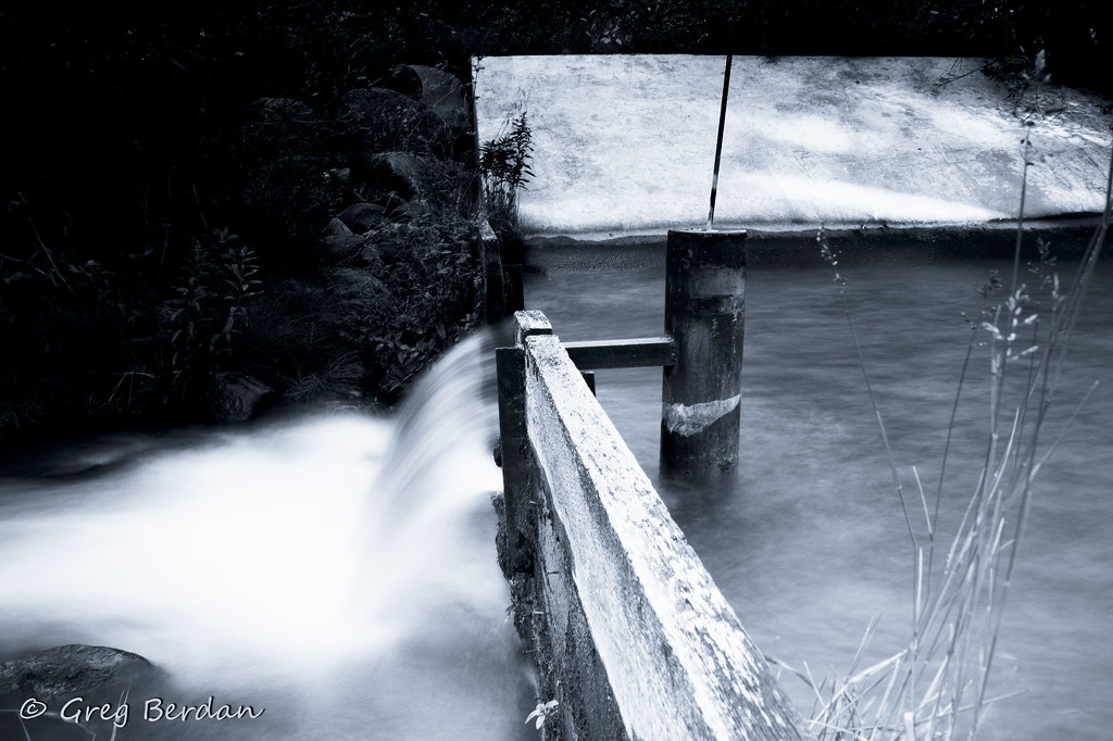
Upper Wheeler Outlet side view
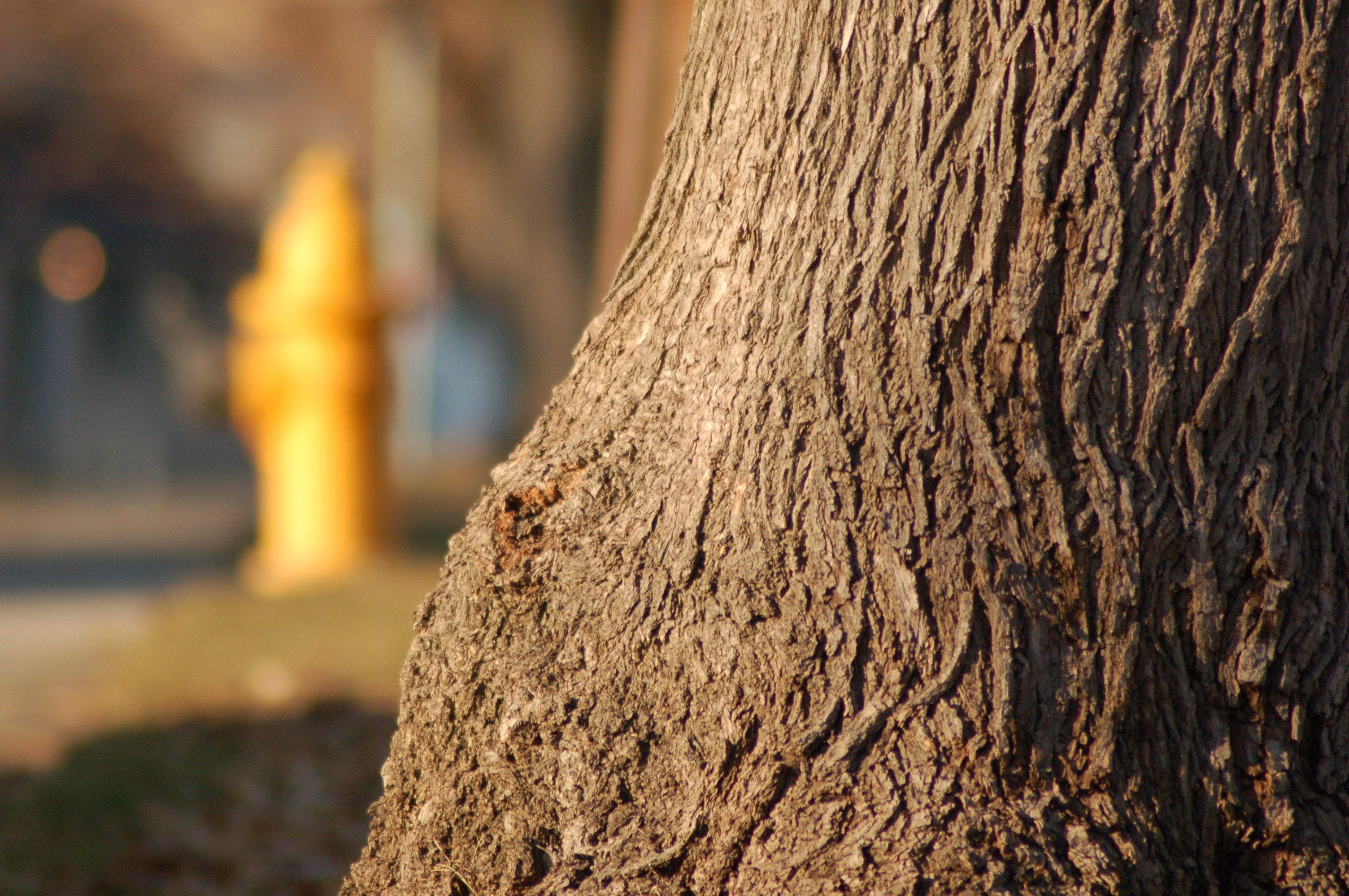
The tree or the hydrant: A dog's eye view
LV0829DSC00211.JPG
LV0844DSC00226.JPG
LV0833DSC00215.JPG
LV0822DSC00204.JPG
LV0816DSC00198.JPG
LV0823DSC00205.JPG
LV0832DSC00214.JPG

LV0860DSC00242.JPG
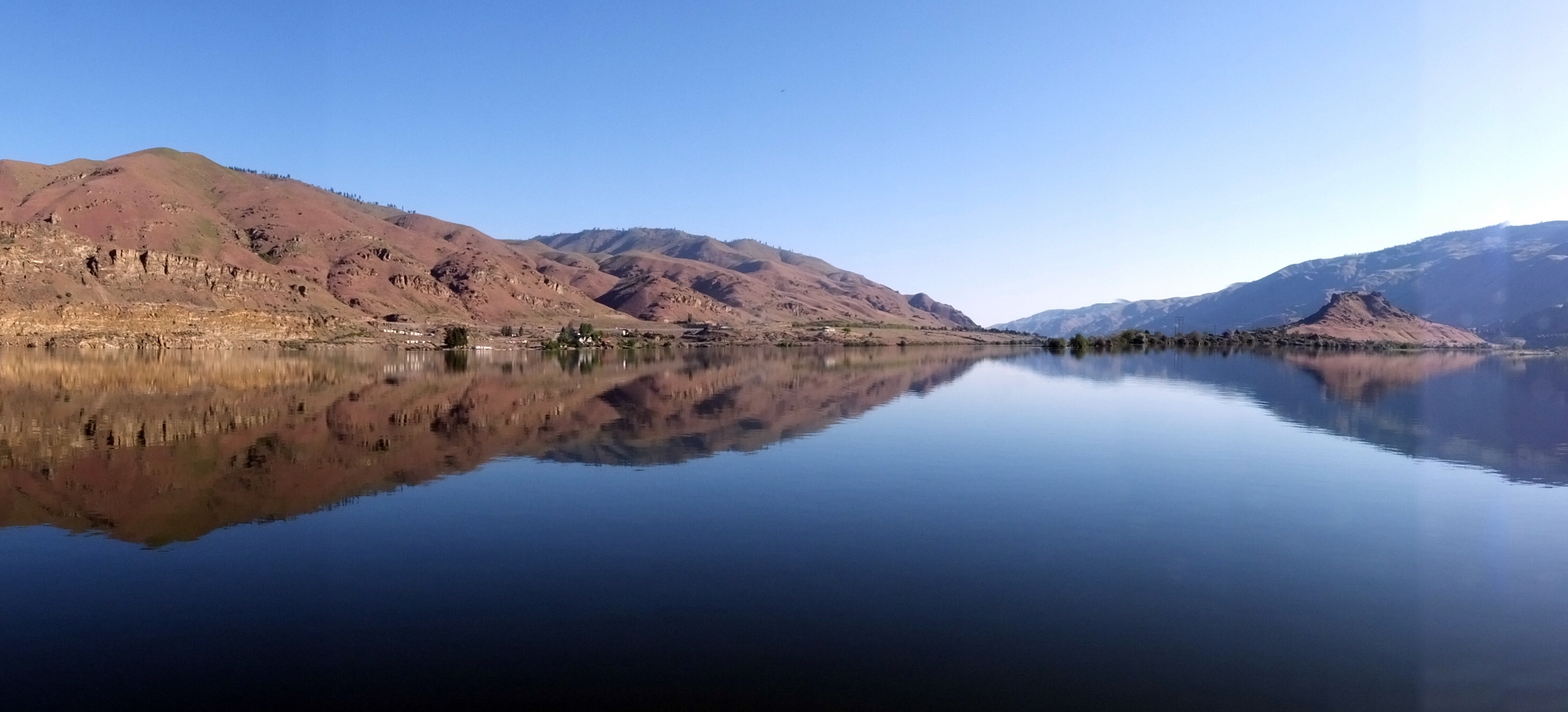
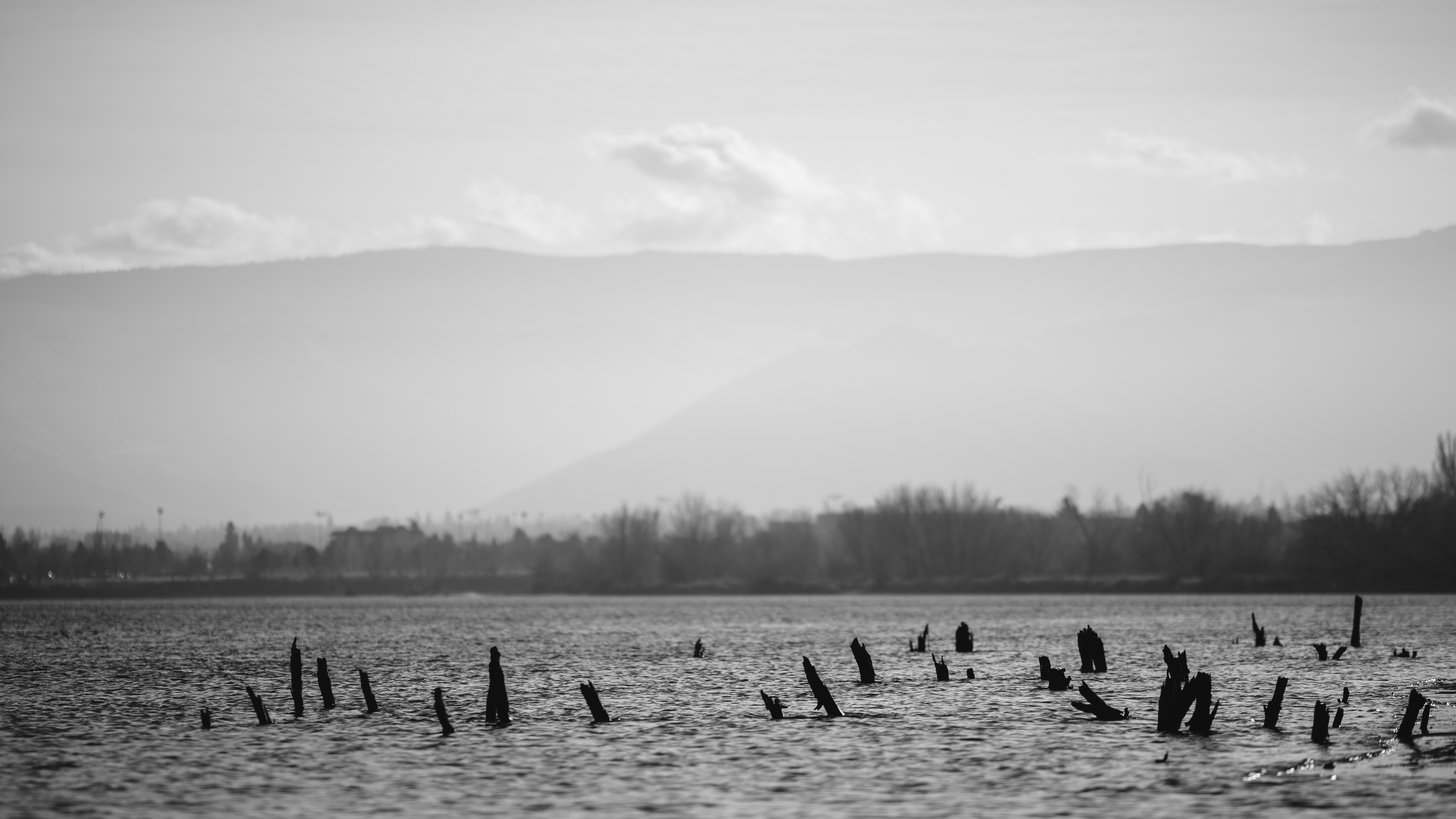
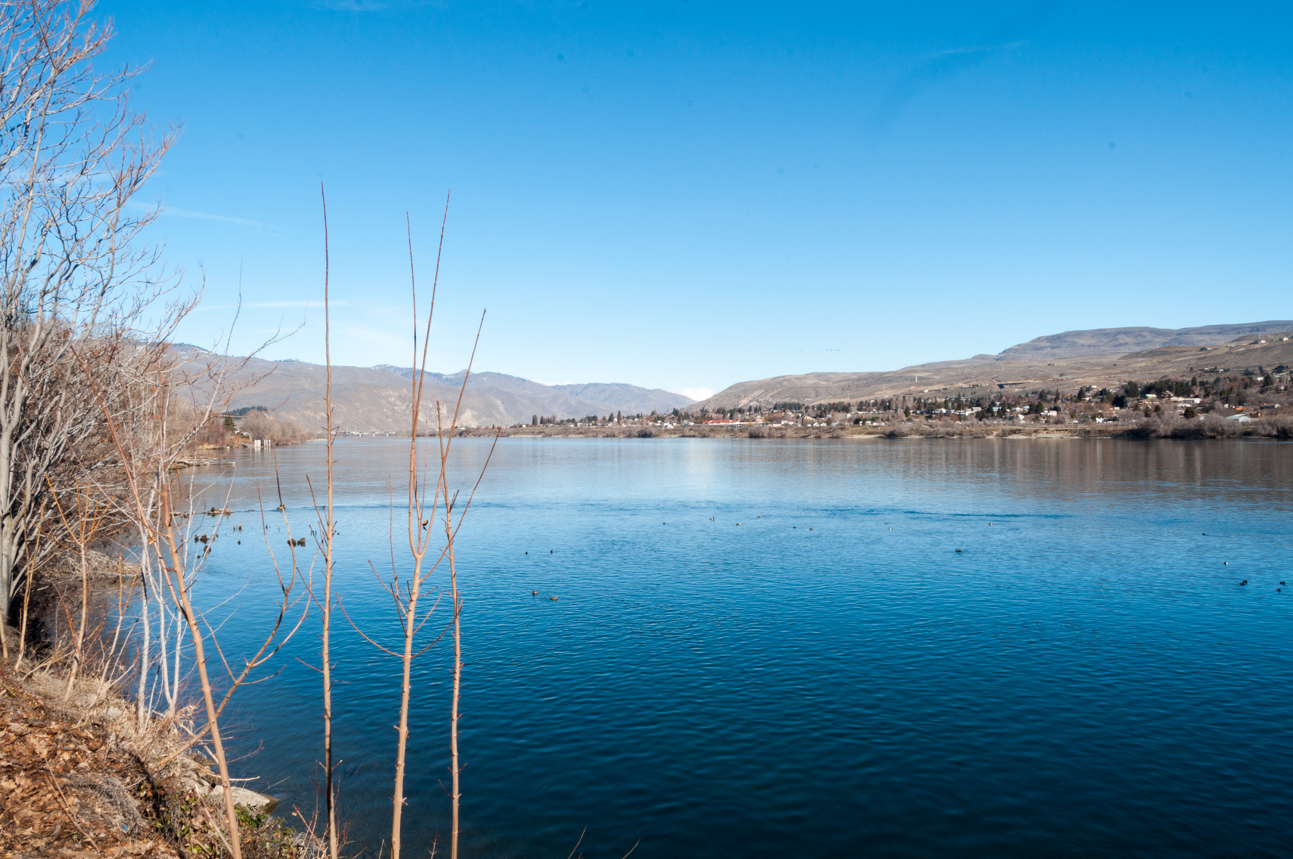
Columbia River Reflection
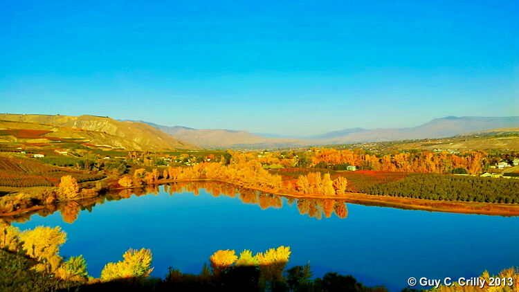
Meadow Lake
Evening light on the Wenatchee River.... ???? #sunset #wenatchee #washington #usa #holiday #roadtrip #wenatcheeriver #scenicwa #pnw #pacificnorthwest #PNWonderland #northwestnature
Black Lake
Cruising down the Wenatchee Valley

Hiking toward Saddle Rock
Tumbleweed Drive
Sage Hills & Enchantment Peaks
Swakane Canyon from slope
A little bit of everything....
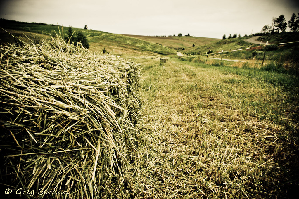
Between bales

Peeling on Texture
Saddle Rock head on
PIX-IMG_5375HDTV-Test-g
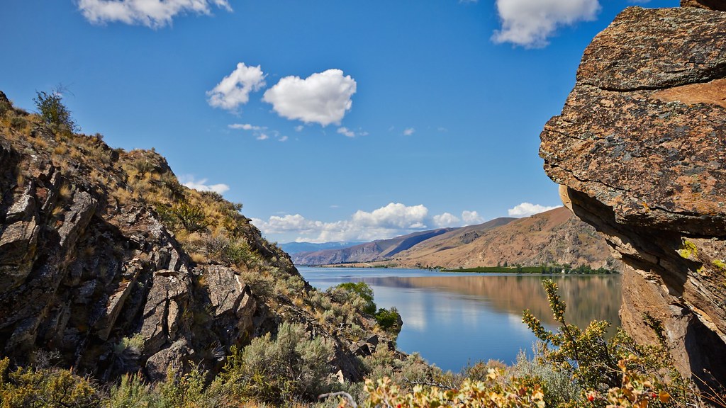
Columbia River
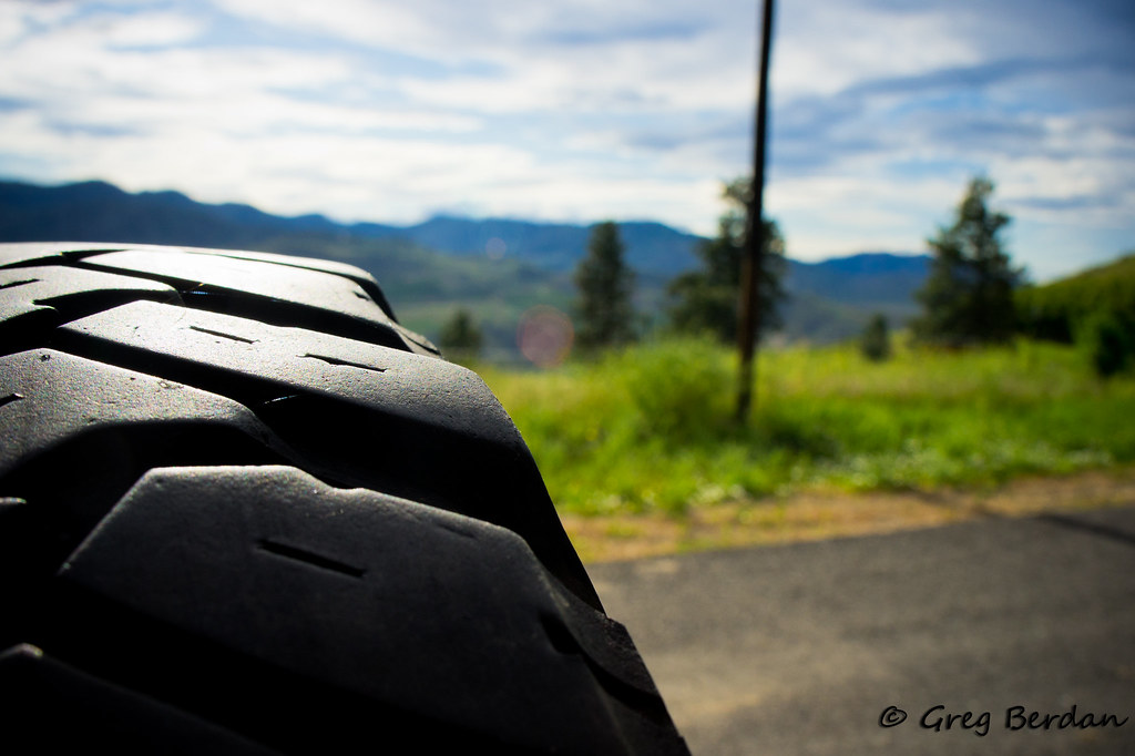
Photography lesson II
Topographic Map of N Devon Ave, East Wenatchee, WA, USA
Find elevation by address:
Places near N Devon Ave, East Wenatchee, WA, USA:
1351 N Devon Ave
1200 Eastmont Ave
130 11th St Ne
14th St NE, East Wenatchee, WA, USA
Valley Mall Pkwy, East Wenatchee, WA, USA
East Wenatchee
618 Clarissa Ln
North Anne Avenue
805 S Mission St
808 N Jennifer Ln
38 N Hanford Ave
1 Orondo Ave
2328 Grand Ave
Wenatchee
1474 S Wenatchee Ave
2330 Fancher Heights Blvd
2329 Herndon Dr
East 5th Street
Gun Club Road
7th St NE, East Wenatchee, WA, USA
Recent Searches:
- Elevation map of Central Hungary, Hungary
- Elevation map of Pest, Central Hungary, Hungary
- Elevation of Pilisszentkereszt, Pest, Central Hungary, Hungary
- Elevation of Dharamkot Tahsil, Punjab, India
- Elevation of Bhinder Khurd, Dharamkot Tahsil, Punjab, India
- Elevation of 2881, Chabot Drive, San Bruno, San Mateo County, California, 94066, USA
- Elevation of 10370, West 107th Circle, Westminster, Jefferson County, Colorado, 80021, USA
- Elevation of 611, Roman Road, Old Ford, Bow, London, England, E3 2RW, United Kingdom
- Elevation of 116, Beartown Road, Underhill, Chittenden County, Vermont, 05489, USA
- Elevation of Window Rock, Colfax County, New Mexico, 87714, USA
- Elevation of 4807, Rosecroft Street, Kempsville Gardens, Virginia Beach, Virginia, 23464, USA
- Elevation map of Matawinie, Quebec, Canada
- Elevation of Sainte-Émélie-de-l'Énergie, Matawinie, Quebec, Canada
- Elevation of Rue du Pont, Sainte-Émélie-de-l'Énergie, Matawinie, Quebec, J0K2K0, Canada
- Elevation of 8, Rue de Bécancour, Blainville, Thérèse-De Blainville, Quebec, J7B1N2, Canada
- Elevation of Wilmot Court North, 163, University Avenue West, Northdale, Waterloo, Region of Waterloo, Ontario, N2L6B6, Canada
- Elevation map of Panamá Province, Panama
- Elevation of Balboa, Panamá Province, Panama
- Elevation of San Miguel, Balboa, Panamá Province, Panama
- Elevation of Isla Gibraleón, San Miguel, Balboa, Panamá Province, Panama