Elevation of Eastmont Ave, East Wenatchee, WA, USA
Location: United States > Washington > Douglas County > East Wenatchee >
Longitude: -120.28228
Latitude: 47.423277
Elevation: 271m / 889feet
Barometric Pressure: 98KPa
Elevation Map:
Satellite Map:
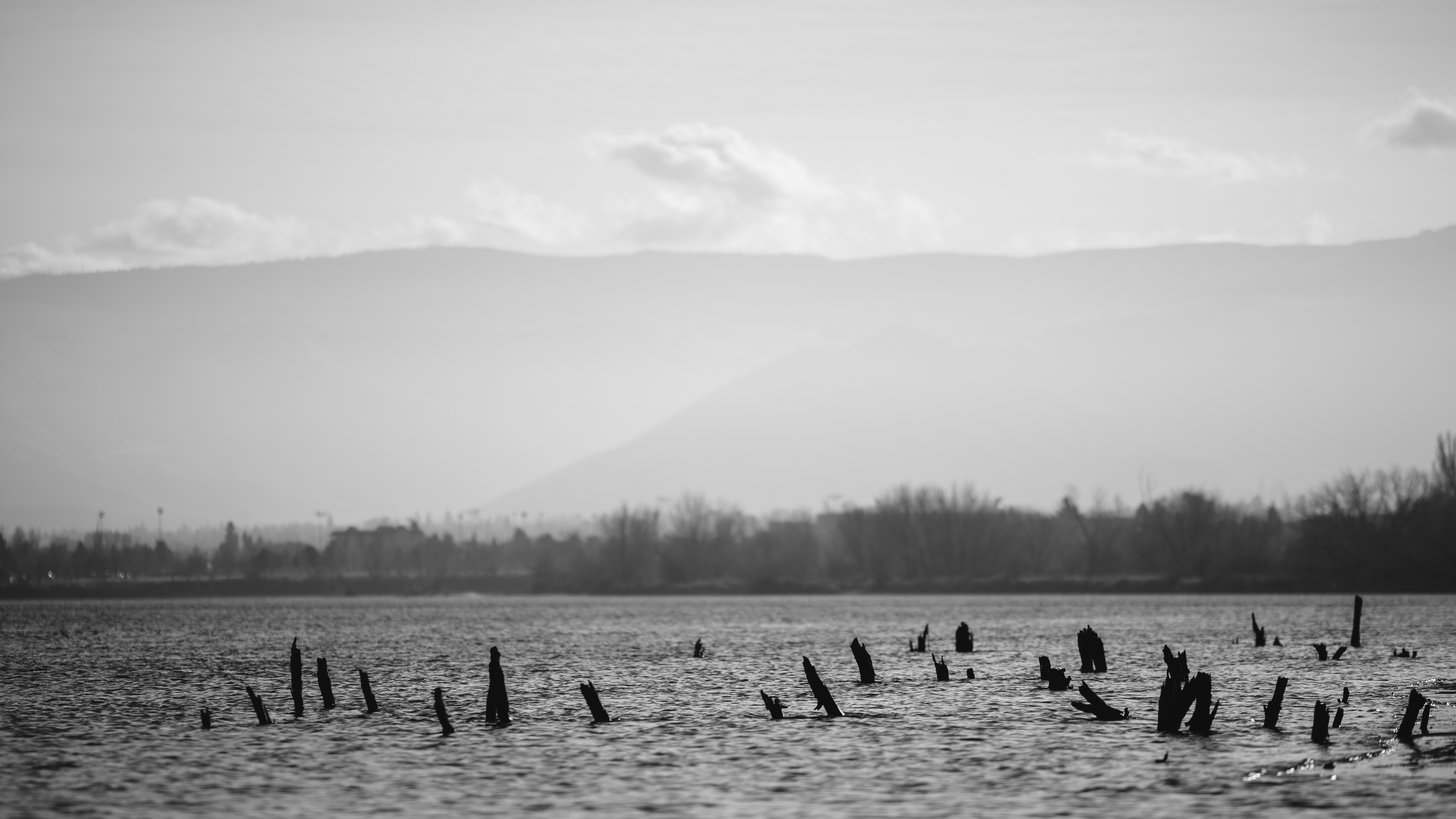
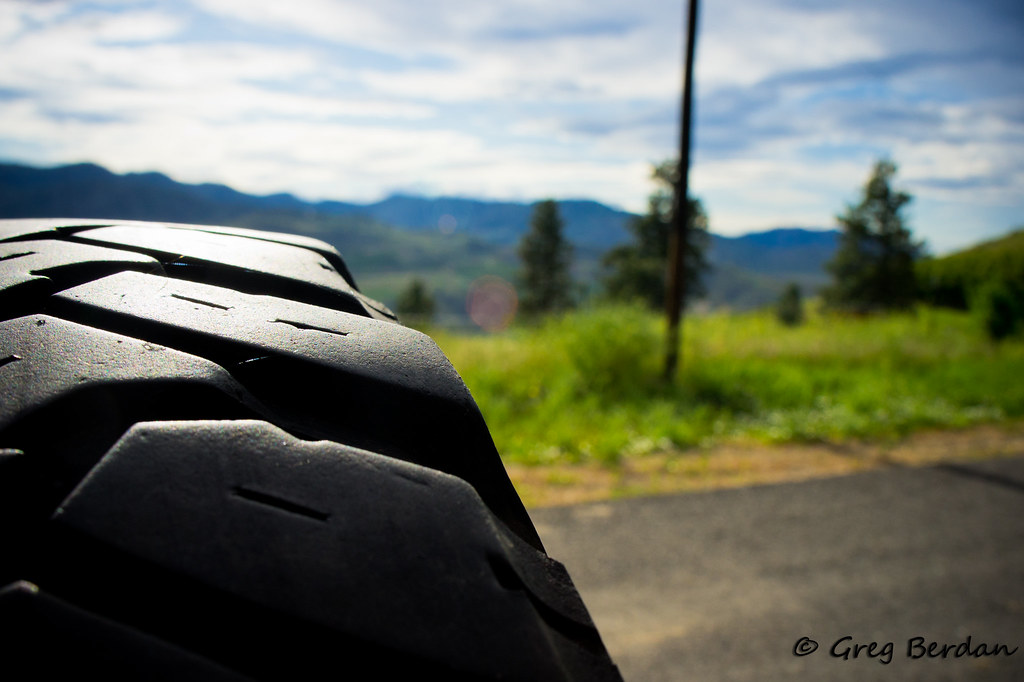
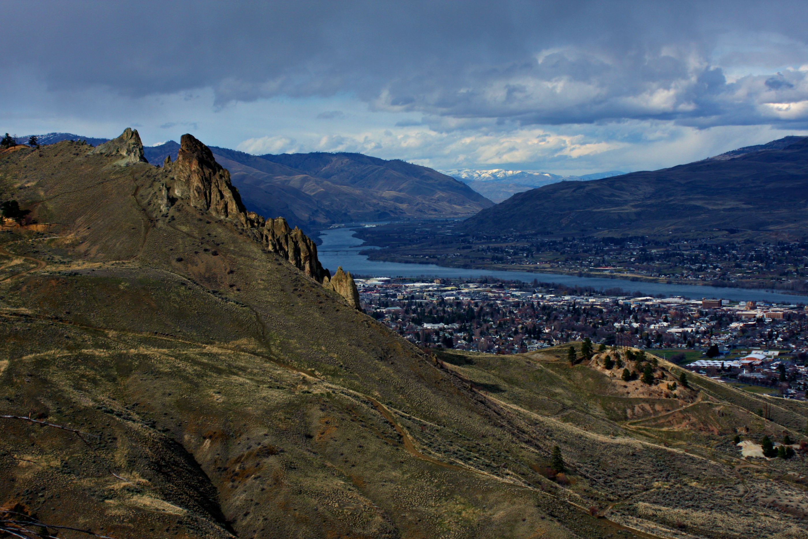
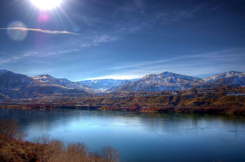
Related Photos:
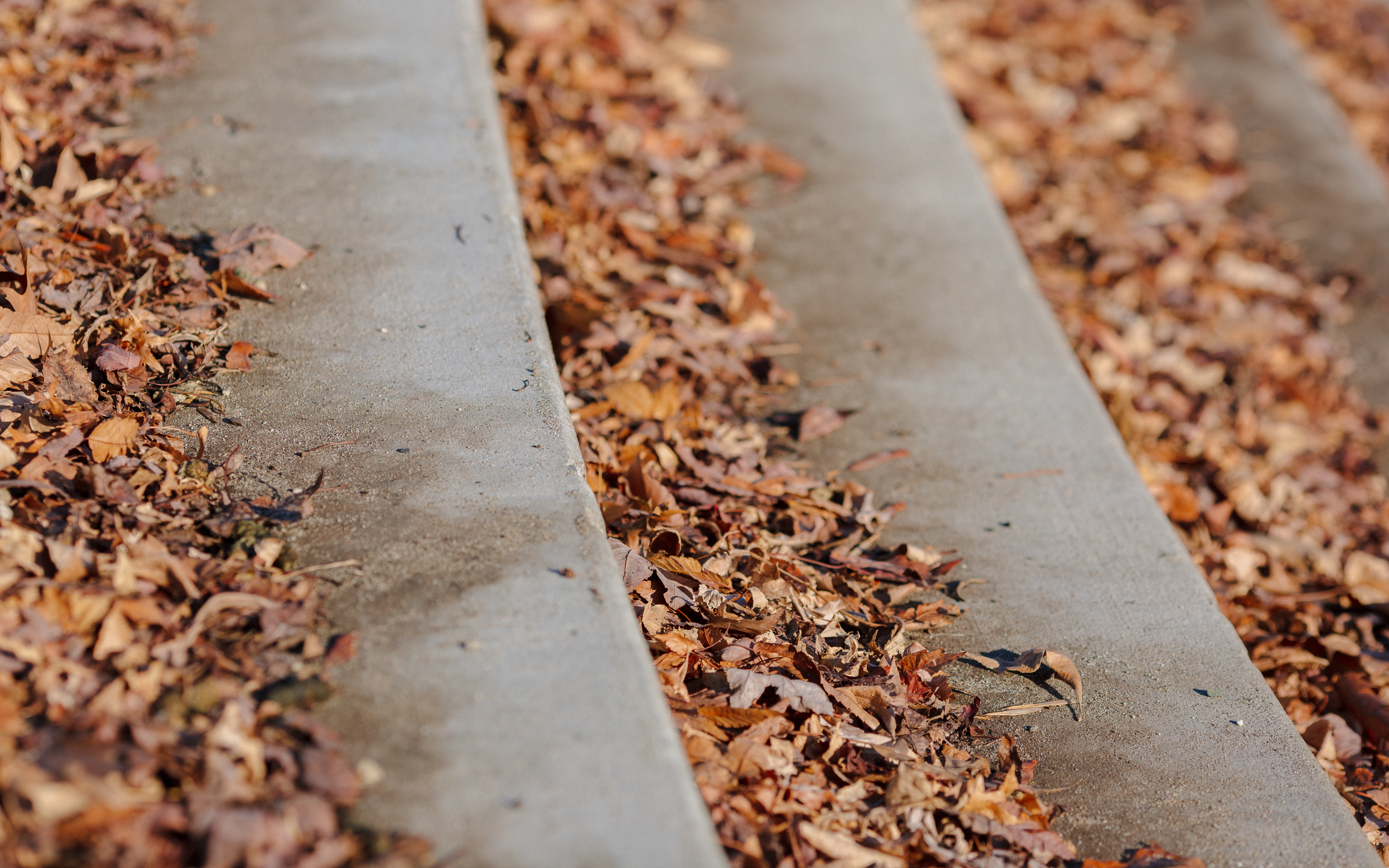
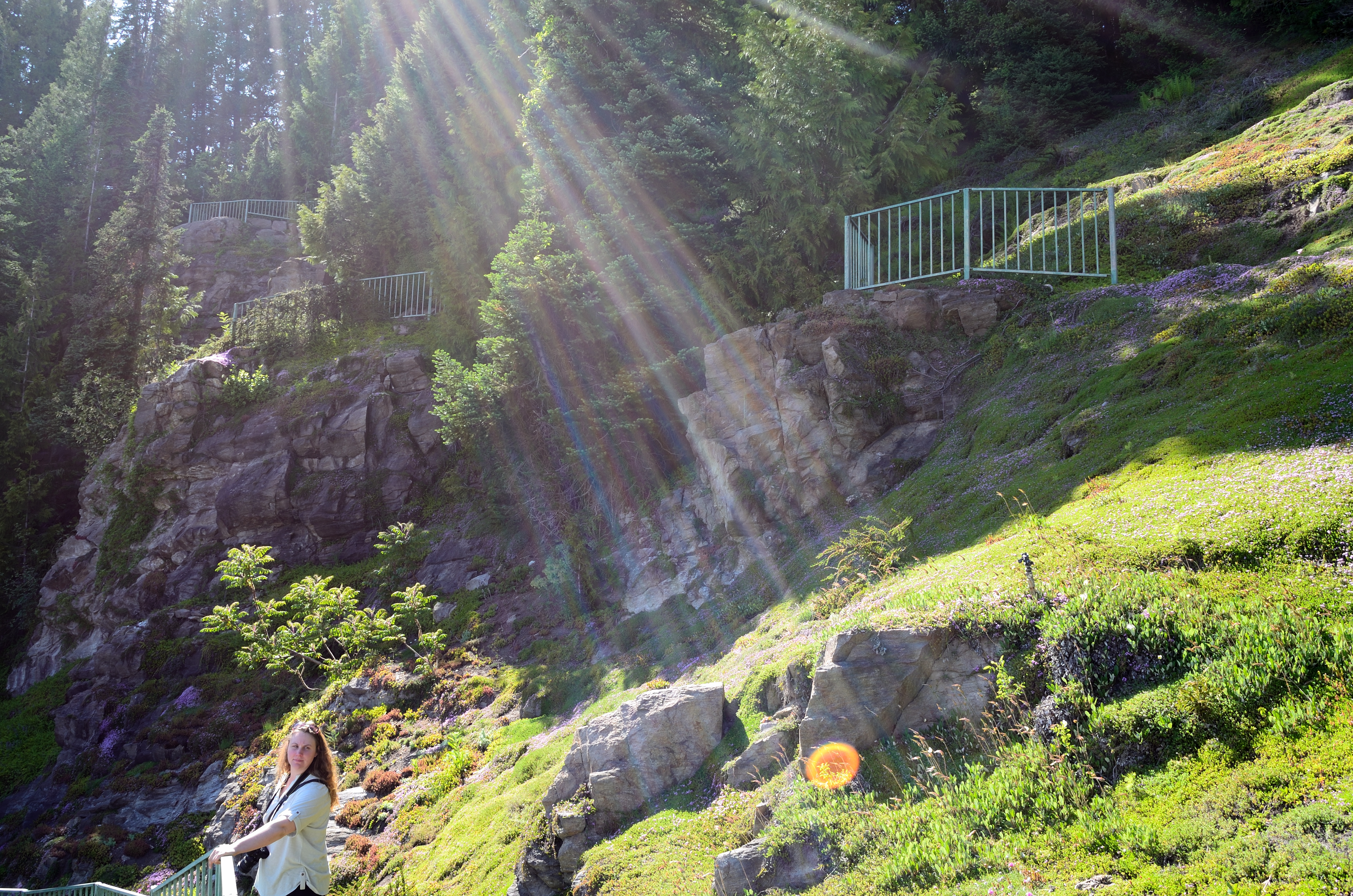
Autumn Relaxing On The Steps
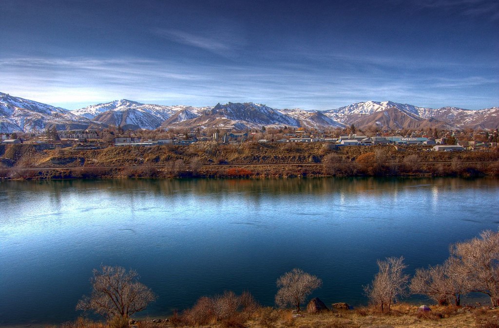
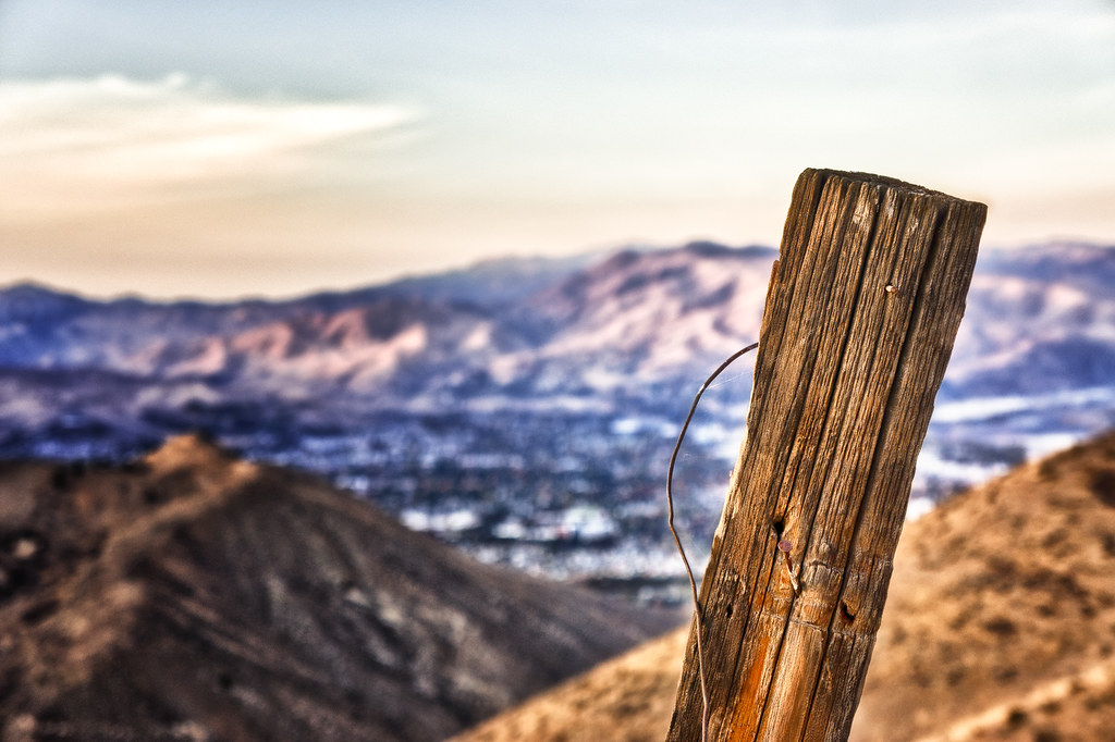
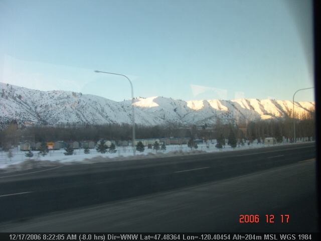
Wenatchee Valley View II
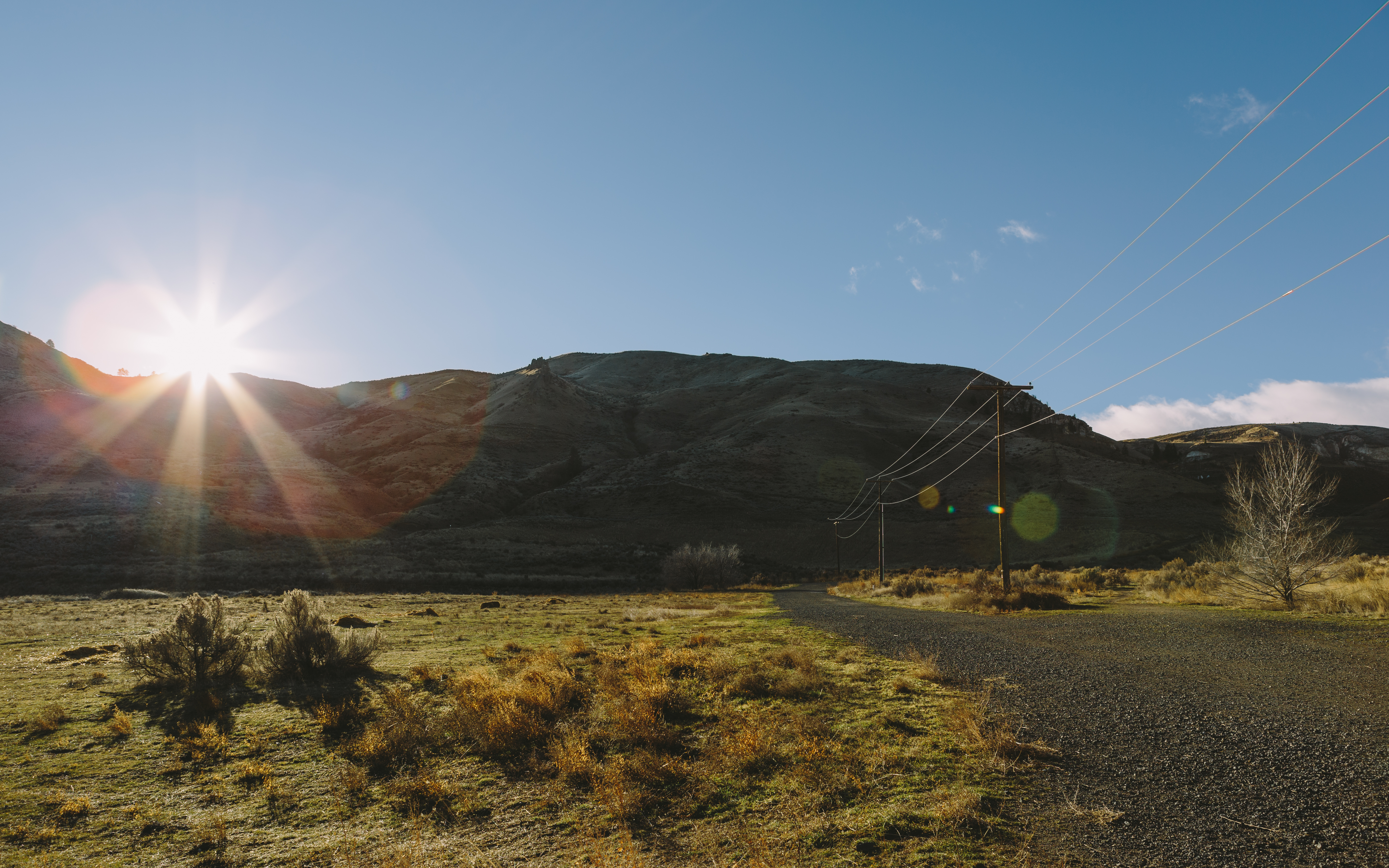
Put There By The Land

Frazzled - Explored

Happy 2014
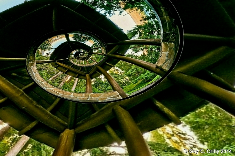
Spiral Roof
We Will Rise
Spare a glance
Overlooking Saddlerock
Wenatchee Valley View
Processed Post
View of Halverson Canyon
LV0822DSC00204.JPG
LV0823DSC00205.JPG
LV0816DSC00198.JPG
LV0850DSC00232.JPG
LV0833DSC00215.JPG

LV0860DSC00242.JPG
LV0824DSC00206.JPG
LV0844DSC00226.JPG
LV0831DSC00213.JPG

Pink Abstract 1

Pink Abstract 2
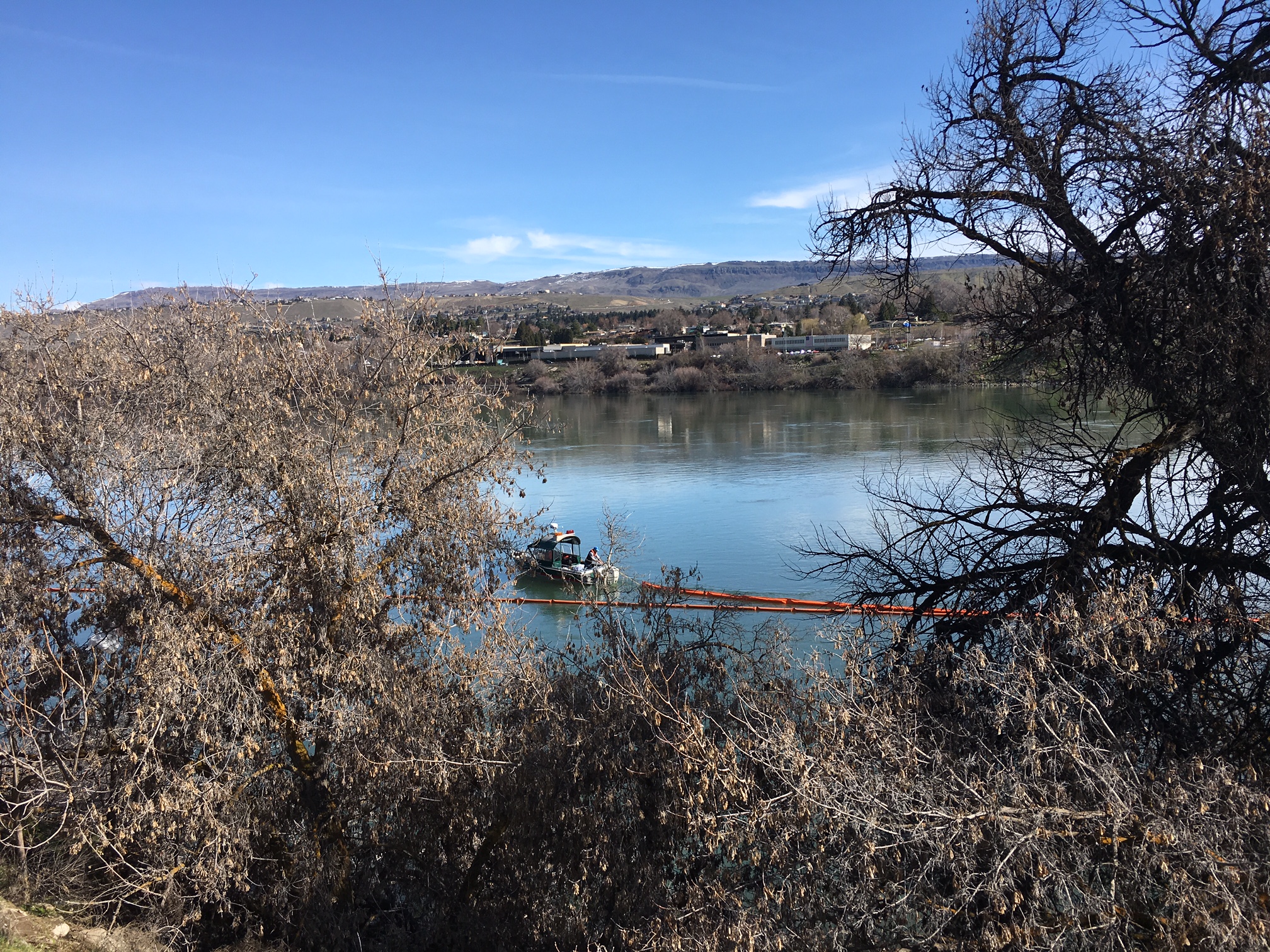
Columbia River biodiesel spill response on March 24, 2017

Splitting Peels

Hiking toward Saddle Rock

Lincon Rock Park.
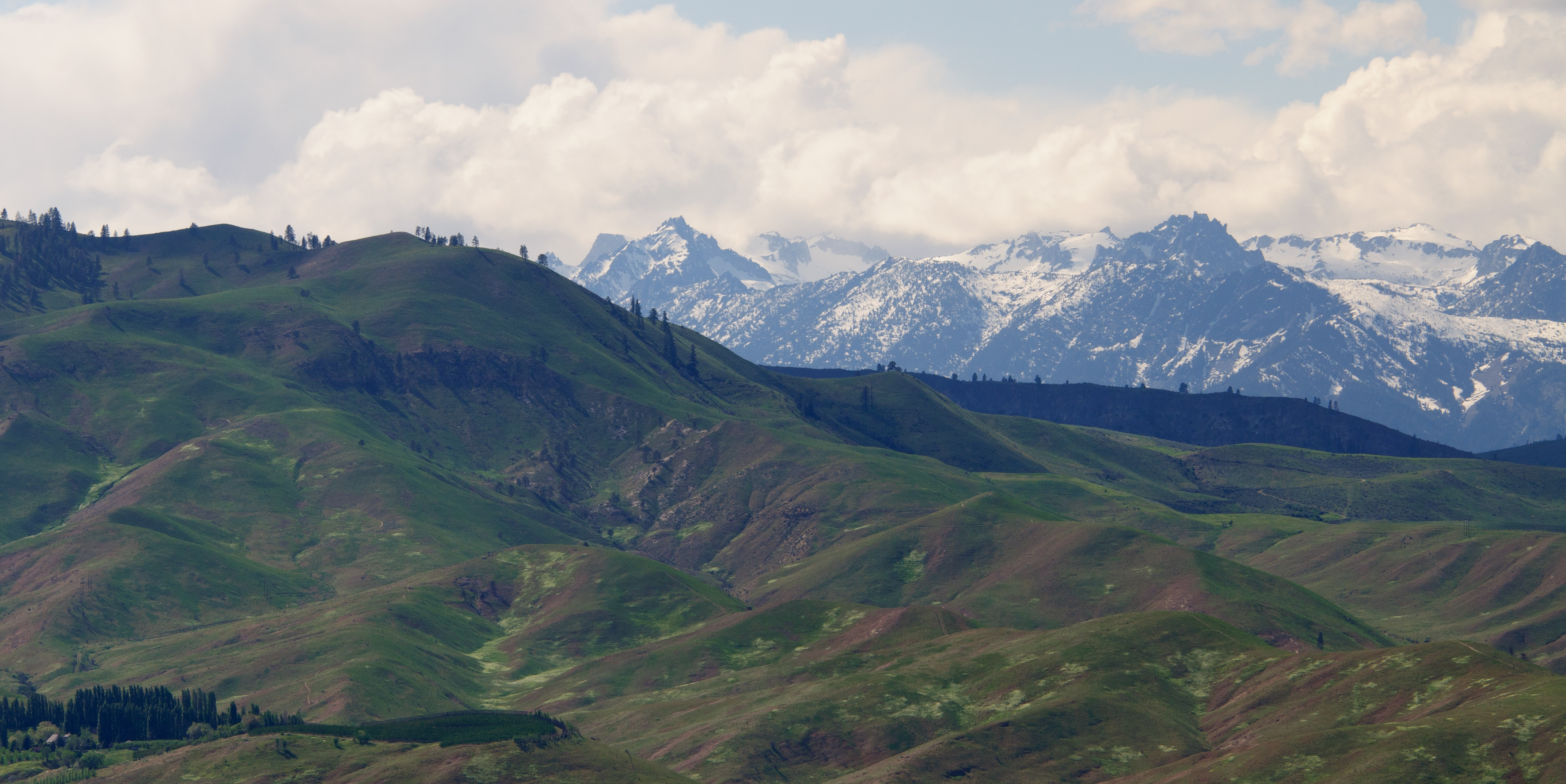
Sage Hills & Enchantment Peaks
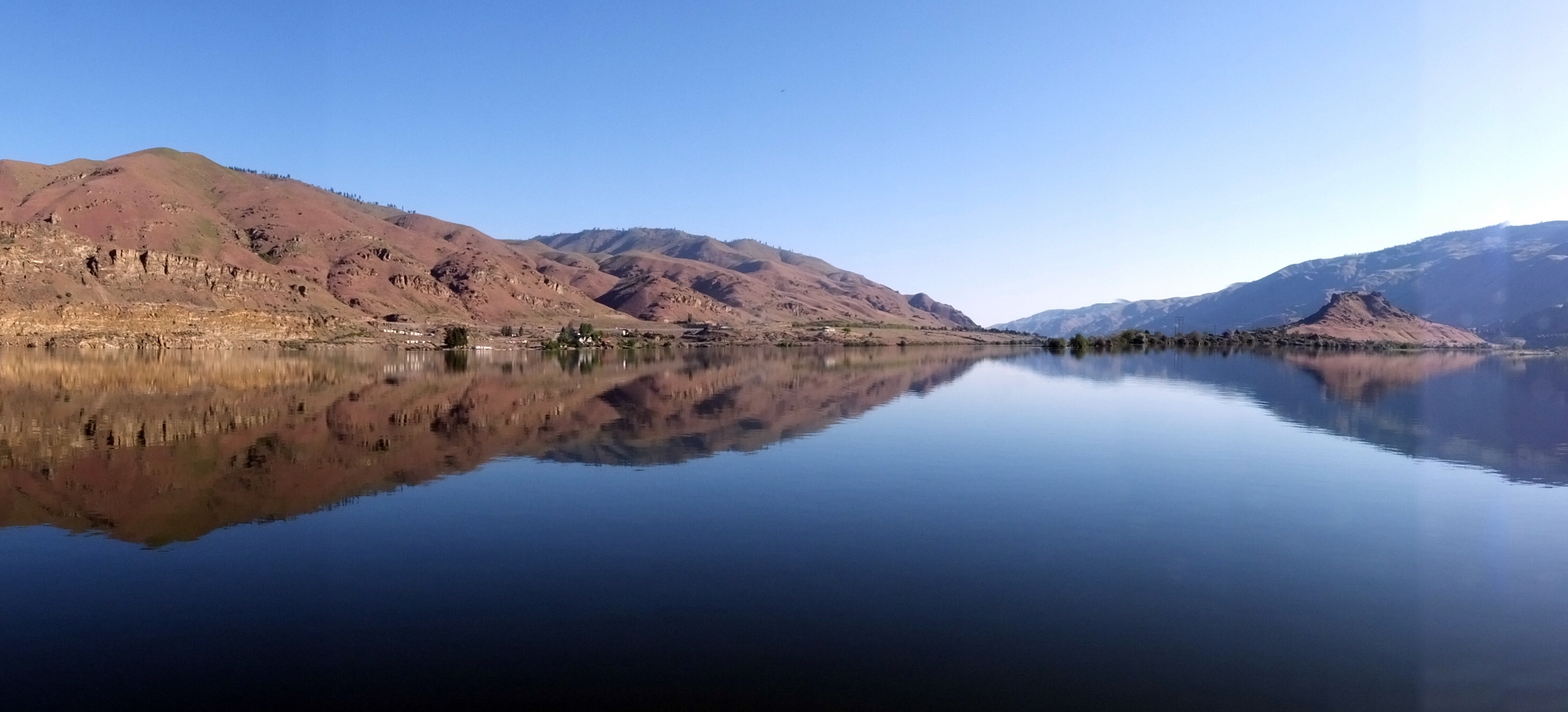
Columbia River Reflection
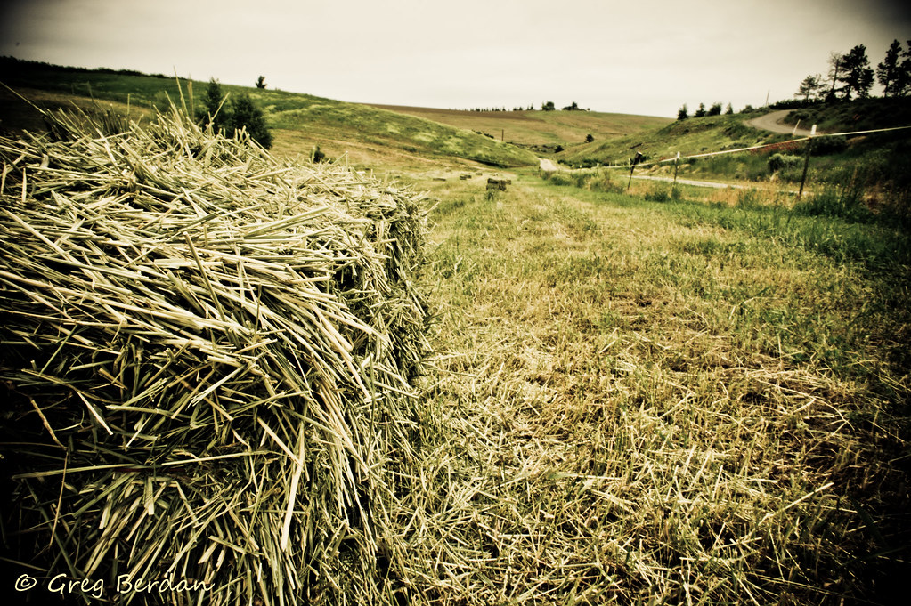
Between bales

Saddle Rock

Peeling on Texture
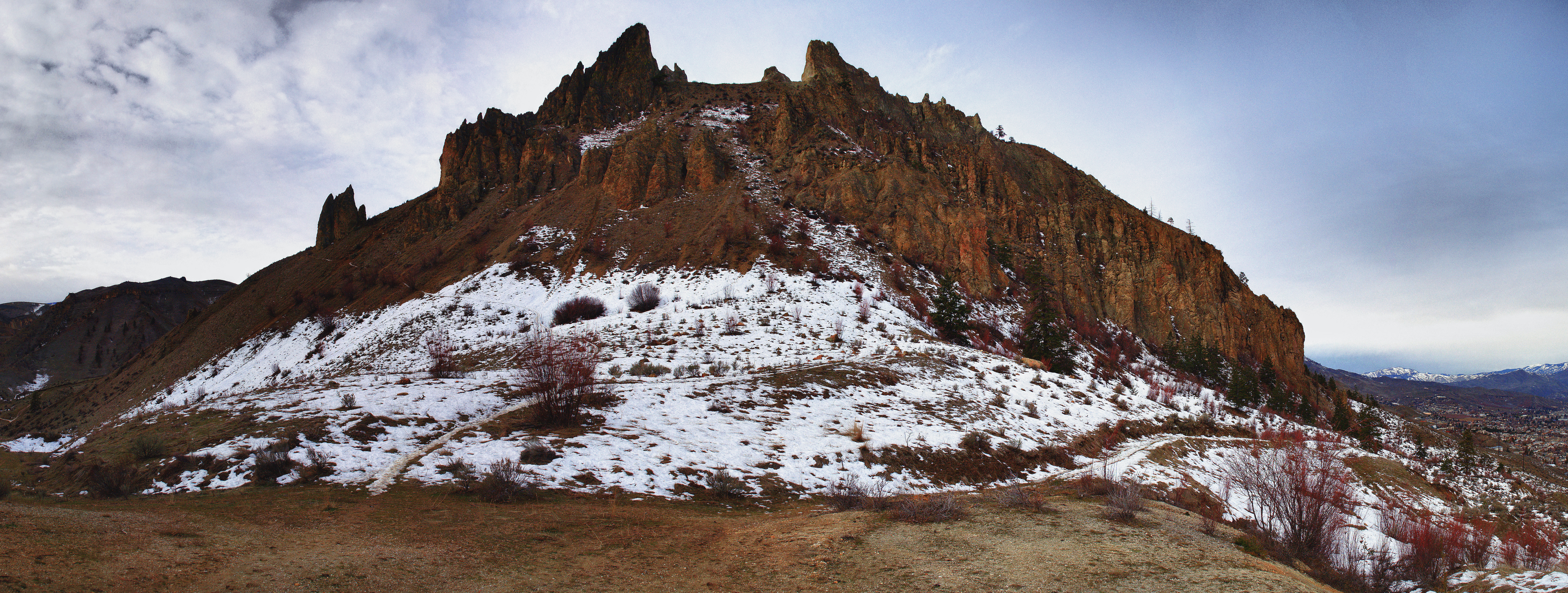
Saddle Rock head on
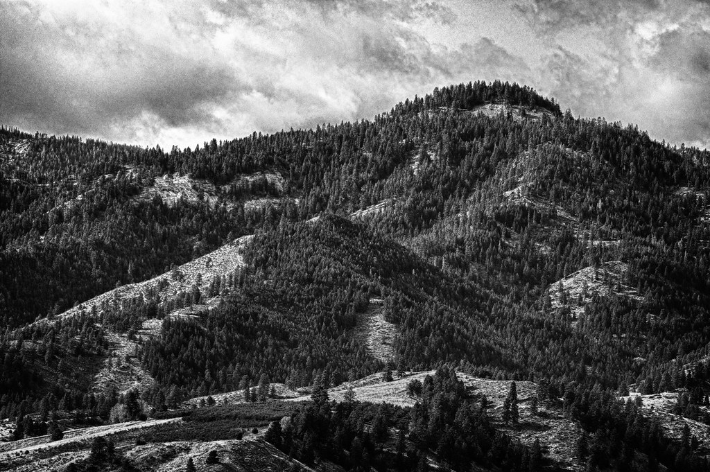
Beehive Mountain B&W - Explored
2012 051312 (19)

My Path is Lit
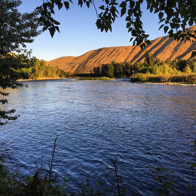
Evening light on the Wenatchee River.... ???? #sunset #wenatchee #washington #usa #holiday #roadtrip #wenatcheeriver #scenicwa #pnw #pacificnorthwest #PNWonderland #northwestnature
Topographic Map of Eastmont Ave, East Wenatchee, WA, USA
Find elevation by address:

Places near Eastmont Ave, East Wenatchee, WA, USA:
14th St NE, East Wenatchee, WA, USA
1117 N Devon Ave
1351 N Devon Ave
618 Clarissa Ln
130 11th St Ne
Valley Mall Pkwy, East Wenatchee, WA, USA
East Wenatchee
808 N Jennifer Ln
North Anne Avenue
38 N Hanford Ave
2328 Grand Ave
805 S Mission St
2329 Herndon Dr
7th St NE, East Wenatchee, WA, USA
2330 Fancher Heights Blvd
Gun Club Road
1762 4th St Ne
1 Orondo Ave
1312 Wheatridge Dr
2340 Silo Dr
Recent Searches:
- Elevation of Corso Fratelli Cairoli, 35, Macerata MC, Italy
- Elevation of Tallevast Rd, Sarasota, FL, USA
- Elevation of 4th St E, Sonoma, CA, USA
- Elevation of Black Hollow Rd, Pennsdale, PA, USA
- Elevation of Oakland Ave, Williamsport, PA, USA
- Elevation of Pedrógão Grande, Portugal
- Elevation of Klee Dr, Martinsburg, WV, USA
- Elevation of Via Roma, Pieranica CR, Italy
- Elevation of Tavkvetili Mountain, Georgia
- Elevation of Hartfords Bluff Cir, Mt Pleasant, SC, USA