Elevation of Clarissa Ln, East Wenatchee, WA, USA
Location: United States > Washington > Douglas County > East Wenatchee >
Longitude: -120.2779831
Latitude: 47.4279321
Elevation: -10000m / -32808feet
Barometric Pressure: 0KPa
Related Photos:

Golden Eagle

CWH tilt
Overlooking Saddlerock

Spare a glance

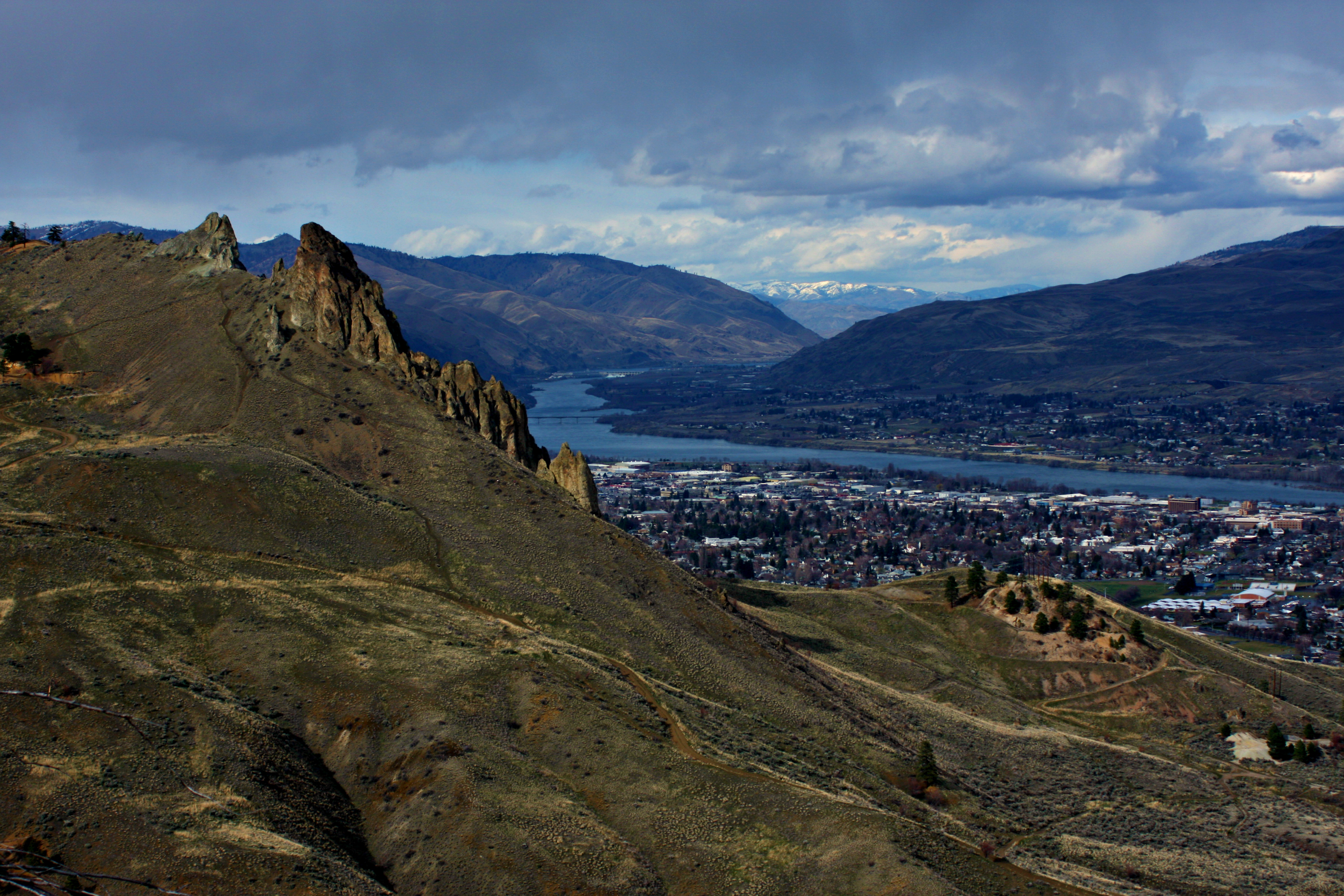
View of Halverson Canyon

LV0844DSC00226.JPG

LV0850DSC00232.JPG

LV0833DSC00215.JPG

LV0822DSC00204.JPG

LV0830DSC00212.JPG

LV0832DSC00214.JPG

LV0845DSC00227.JPG

LV0824DSC00206.JPG

LV0848DSC00230.JPG

LV0820DSC00202.JPG
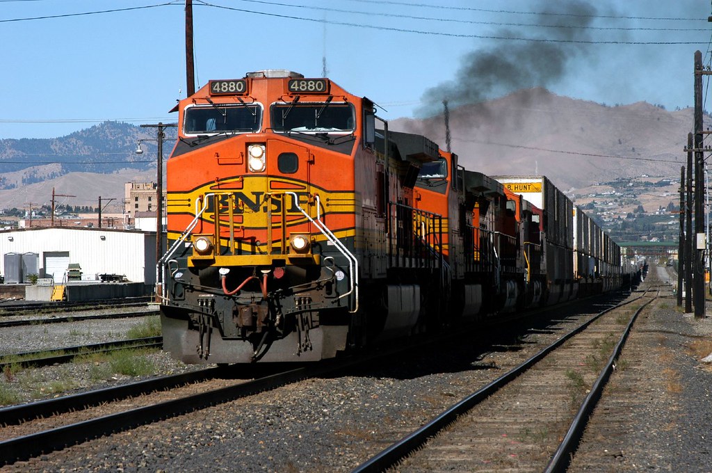
Eastbound at Wenatchee (1 of 3)

LV0815DSC00197.JPG

LV0755DSC00137.JPG

LV0854DSC00236.JPG

LV0828DSC00210.JPG

LV0762DSC00144.JPG

Rocky Reach Dam, Washington

Columbia River Reflection

You'll come back around

Pink Abstract 4

Splitting Peels

Pink Abstract 3
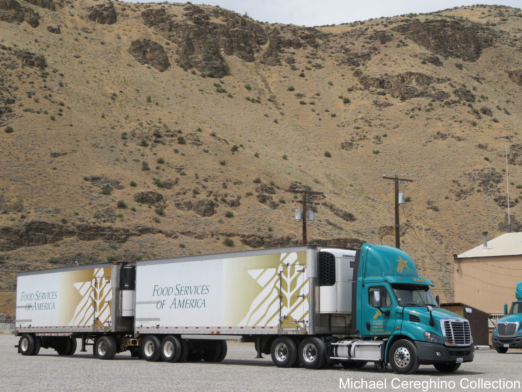
Food Service of America Freightliner Cascadia, Truck# EW342

Wenatchee River Railroad Bridge

Hiking toward Saddle Rock

Tumbleweed Drive

Sage Hills & Enchantment Peaks

Swakane Canyon from slope

A little bit of everything....

Saddle Rock head on

Between bales

rb2-2

PIX-IMG_5375HDTV-Test-g

Meadow Lake

Columbia River
Topographic Map of Clarissa Ln, East Wenatchee, WA, USA
Find elevation by address:

Places near Clarissa Ln, East Wenatchee, WA, USA:
14th St NE, East Wenatchee, WA, USA
1200 Eastmont Ave
1351 N Devon Ave
1117 N Devon Ave
808 N Jennifer Ln
2328 Grand Ave
130 11th St Ne
North Anne Avenue
Valley Mall Pkwy, East Wenatchee, WA, USA
East Wenatchee
1312 Wheatridge Dr
2340 Silo Dr
Gun Club Road
2329 Herndon Dr
2330 Fancher Heights Blvd
38 N Hanford Ave
7th St NE, East Wenatchee, WA, USA
Wenatchee Valley Super Oval
1762 4th St Ne
2659 Fancher Landing
Recent Searches:
- Elevation of 10370, West 107th Circle, Westminster, Jefferson County, Colorado, 80021, USA
- Elevation of 611, Roman Road, Old Ford, Bow, London, England, E3 2RW, United Kingdom
- Elevation of 116, Beartown Road, Underhill, Chittenden County, Vermont, 05489, USA
- Elevation of Window Rock, Colfax County, New Mexico, 87714, USA
- Elevation of 4807, Rosecroft Street, Kempsville Gardens, Virginia Beach, Virginia, 23464, USA
- Elevation map of Matawinie, Quebec, Canada
- Elevation of Sainte-Émélie-de-l'Énergie, Matawinie, Quebec, Canada
- Elevation of Rue du Pont, Sainte-Émélie-de-l'Énergie, Matawinie, Quebec, J0K2K0, Canada
- Elevation of 8, Rue de Bécancour, Blainville, Thérèse-De Blainville, Quebec, J7B1N2, Canada
- Elevation of Wilmot Court North, 163, University Avenue West, Northdale, Waterloo, Region of Waterloo, Ontario, N2L6B6, Canada
- Elevation map of Panamá Province, Panama
- Elevation of Balboa, Panamá Province, Panama
- Elevation of San Miguel, Balboa, Panamá Province, Panama
- Elevation of Isla Gibraleón, San Miguel, Balboa, Panamá Province, Panama
- Elevation of 4655, Krischke Road, Schulenburg, Fayette County, Texas, 78956, USA
- Elevation of Carnegie Avenue, Downtown Cleveland, Cleveland, Cuyahoga County, Ohio, 44115, USA
- Elevation of Walhonding, Coshocton County, Ohio, USA
- Elevation of Clifton Down, Clifton, Bristol, City of Bristol, England, BS8 3HU, United Kingdom
- Elevation map of Auvergne-Rhône-Alpes, France
- Elevation map of Upper Savoy, Auvergne-Rhône-Alpes, France