Elevation of Mueang Nan District, Nan, Thailand
Location: Mueang Nan District > Nai Wiang > Nan >
Longitude: 100.773068
Latitude: 18.7756094
Elevation: 203m / 666feet
Barometric Pressure: 99KPa
Elevation Map:
Satellite Map:
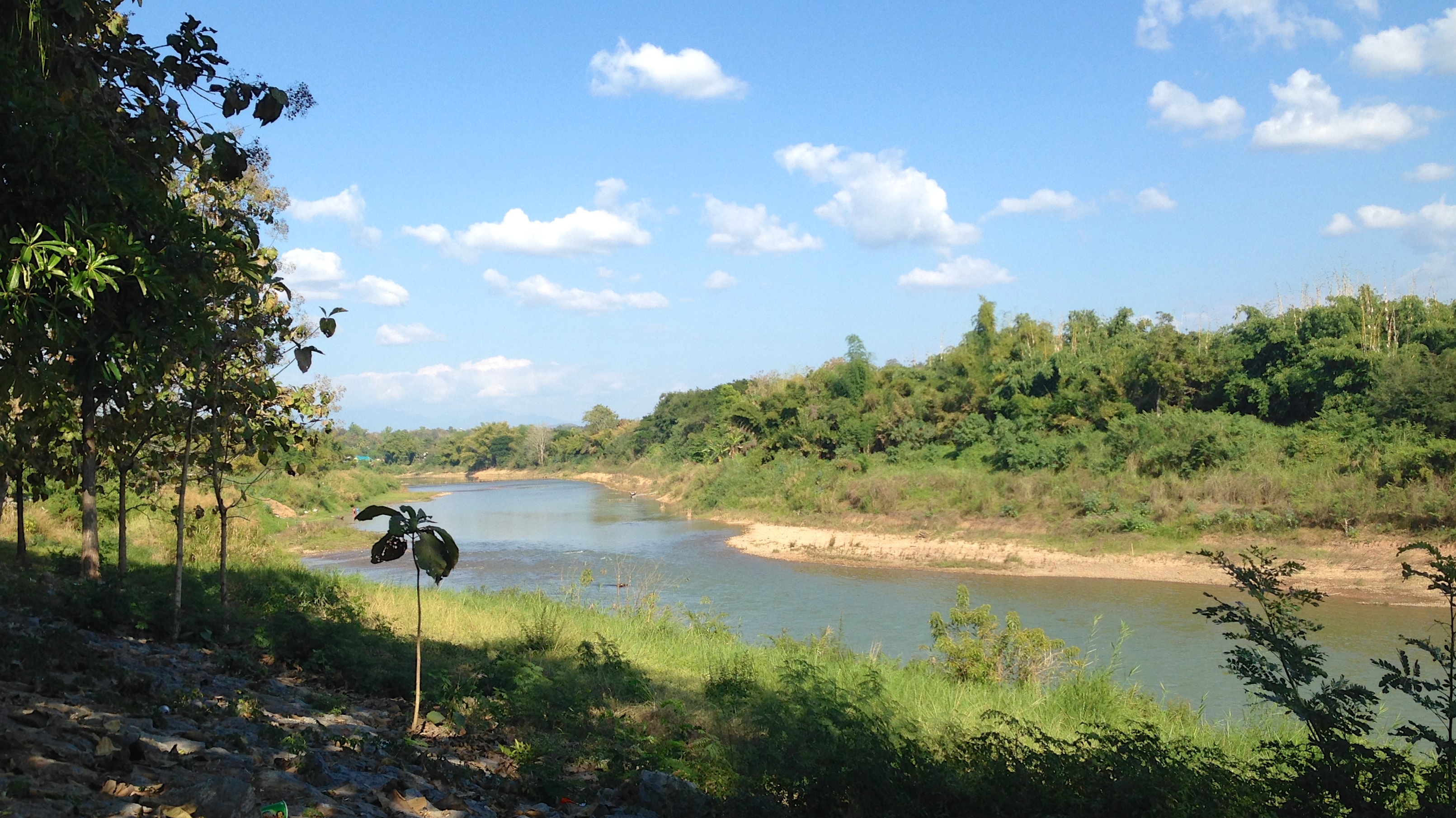
Related Photos:

Wat Phathad Kao Noi

ทะเลหมอกยามเช้า สักหน่อย

Unseen Thailand: Nan [1]
Nan, Thailand. 90

landscaping monk

2012-10-23 10.13.02

Wat Phaya Wat

@wat Phumin

Wat Phumin Impression

Wat Phumin impression

Wat Phumin

Night market in Nan

20181118-_DSC8643 copy

20181117-_DSC8605 copy

20181117-_DSC8606 copy

20181117-_DSC8608 copy

20181116-_DSC8529 copy

20180414-_DSC4130 copy

20180414-_DSC4140 copy

20180414-_DSC4142 copy

20180413-_DSC3947 copy

20180413-_DSC3961 copy

20180413-_DSC3997 copy

20180413-_DSC4003 copy

20180413-_DSC4005 copy

20180413-_DSC4009 copy

20180413-_DSC4014 copy

20180413-_DSC4026 copy
Topographic Map of Mueang Nan District, Nan, Thailand
Find elevation by address:

Places in Mueang Nan District, Nan, Thailand:
Places near Mueang Nan District, Nan, Thailand:
Nan
Nan
Nai Wiang
Chiang Klang District
Chiang Klang
Kon
Rong Kwang District
Siam Garden - Bungalows, Camping, Organic Farm
Rong Kwang
Thung Chang
Thung Chang District
Phayao
Nong Muang Khai District
Hospital Muang Ngeun
Muang Ngeun
Mueang Phayao District
Phayao
Mae Mo District
Phayao Lake
Recent Searches:
- Elevation of Corso Fratelli Cairoli, 35, Macerata MC, Italy
- Elevation of Tallevast Rd, Sarasota, FL, USA
- Elevation of 4th St E, Sonoma, CA, USA
- Elevation of Black Hollow Rd, Pennsdale, PA, USA
- Elevation of Oakland Ave, Williamsport, PA, USA
- Elevation of Pedrógão Grande, Portugal
- Elevation of Klee Dr, Martinsburg, WV, USA
- Elevation of Via Roma, Pieranica CR, Italy
- Elevation of Tavkvetili Mountain, Georgia
- Elevation of Hartfords Bluff Cir, Mt Pleasant, SC, USA