Elevation of Rong Kwang, Rong Kwang District, Phrae, Thailand
Location: Thailand > Phrae > Rong Kwang District >
Longitude: 100.317869
Latitude: 18.3423505
Elevation: -10000m / -32808feet
Barometric Pressure: 295KPa
Elevation Map:
Satellite Map:
Related Photos:

P_20170813_132711_vHDR_Auto

P1060466

P1060465

dusty

P1060462

672 Gewasbescherming (achterin het veld) langs 101 bij Mae Kham Mi

P_20170614_081540_003-01

Lunch on Lake Phay
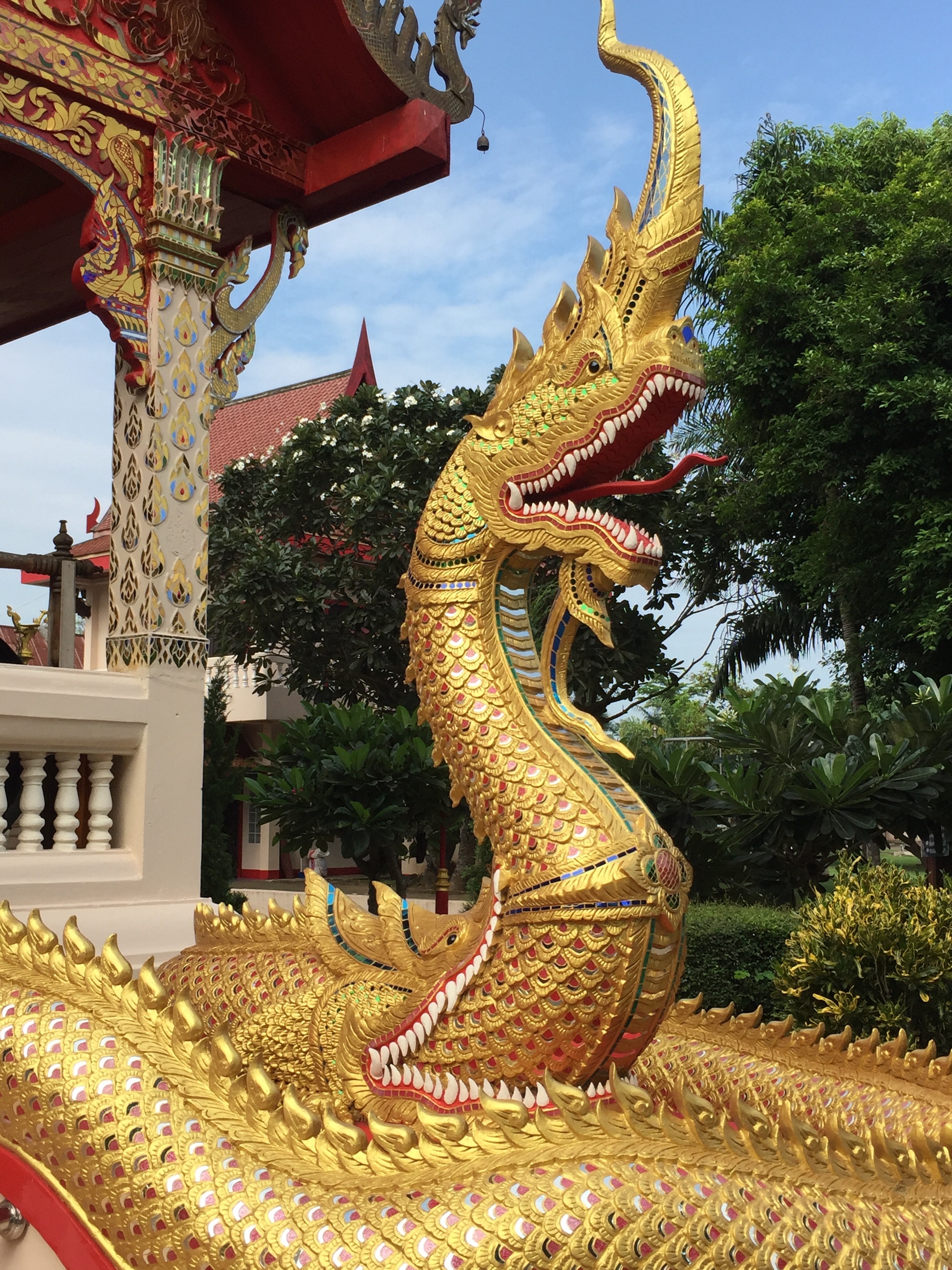
Temple, Phrae

Temple, Phrae

1 2 3 #vscocam
Topographic Map of Rong Kwang, Rong Kwang District, Phrae, Thailand
Find elevation by address:

Places near Rong Kwang, Rong Kwang District, Phrae, Thailand:
Rong Kwang District
Nong Muang Khai District
Mae Mo District
Nan
Mueang Nan District
Nan
Nai Wiang
Phayao
Mueang Phayao District
Phayao
Phayao Lake
Chiang Klang District
Chiang Klang
Kon
Siam Garden - Bungalows, Camping, Organic Farm
Thung Chang
Thung Chang District
Hospital Muang Ngeun
Muang Ngeun
Recent Searches:
- Elevation of Corso Fratelli Cairoli, 35, Macerata MC, Italy
- Elevation of Tallevast Rd, Sarasota, FL, USA
- Elevation of 4th St E, Sonoma, CA, USA
- Elevation of Black Hollow Rd, Pennsdale, PA, USA
- Elevation of Oakland Ave, Williamsport, PA, USA
- Elevation of Pedrógão Grande, Portugal
- Elevation of Klee Dr, Martinsburg, WV, USA
- Elevation of Via Roma, Pieranica CR, Italy
- Elevation of Tavkvetili Mountain, Georgia
- Elevation of Hartfords Bluff Cir, Mt Pleasant, SC, USA