Elevation of Thung Chang, Thung Chang District, Nan, Thailand
Location: Mueang Nan District > Nai Wiang > Nan > Thung Chang District >
Longitude: 100.946793
Latitude: 19.3915669
Elevation: -10000m / -32808feet
Barometric Pressure: 295KPa
Elevation Map:
Satellite Map:
Related Photos:
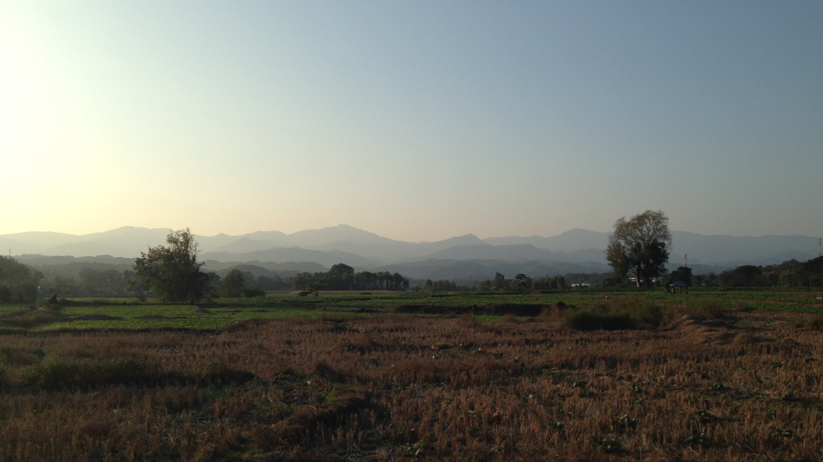
Thung Chang, Nan province, Thailand 9

Good morning #nan #thailand #น่าน #เชียงกลาง #northofthailand #farm #morning

20140712-122734-2014-07-12 12.27.34

20140712-122627-2014-07-12 12.26.27

20150103-_DSC1117
20150103-_DSC1119

อนุสรณีย์

Wat Phra That Lampang Luang
Topographic Map of Thung Chang, Thung Chang District, Nan, Thailand
Find elevation by address:

Places near Thung Chang, Thung Chang District, Nan, Thailand:
Siam Garden - Bungalows, Camping, Organic Farm
Thung Chang District
Kon
Chiang Klang
Chiang Klang District
Hospital Muang Ngeun
Muang Ngeun
Nai Wiang
Nan
Nan
Mueang Nan District
Phayao
Mueang Phayao District
Phayao
Phayao Lake
Rong Kwang
Rong Kwang District
Nong Muang Khai District
Mae Mo District
Recent Searches:
- Elevation of Corso Fratelli Cairoli, 35, Macerata MC, Italy
- Elevation of Tallevast Rd, Sarasota, FL, USA
- Elevation of 4th St E, Sonoma, CA, USA
- Elevation of Black Hollow Rd, Pennsdale, PA, USA
- Elevation of Oakland Ave, Williamsport, PA, USA
- Elevation of Pedrógão Grande, Portugal
- Elevation of Klee Dr, Martinsburg, WV, USA
- Elevation of Via Roma, Pieranica CR, Italy
- Elevation of Tavkvetili Mountain, Georgia
- Elevation of Hartfords Bluff Cir, Mt Pleasant, SC, USA