Elevation of Phayao Lake, Ban Sang, Mueang Phayao District, Phayao, Thailand
Location: Thailand > Phayao > Mueang Phayao District > Ban Sang >
Longitude: 99.866667
Latitude: 19.166667
Elevation: 390m / 1280feet
Barometric Pressure: 97KPa
Elevation Map:
Satellite Map:
Related Photos:

20140711-131549-2014-07-11 13.15.49
20140711-131540-2014-07-11 13.15.40
#kwanphayao #view

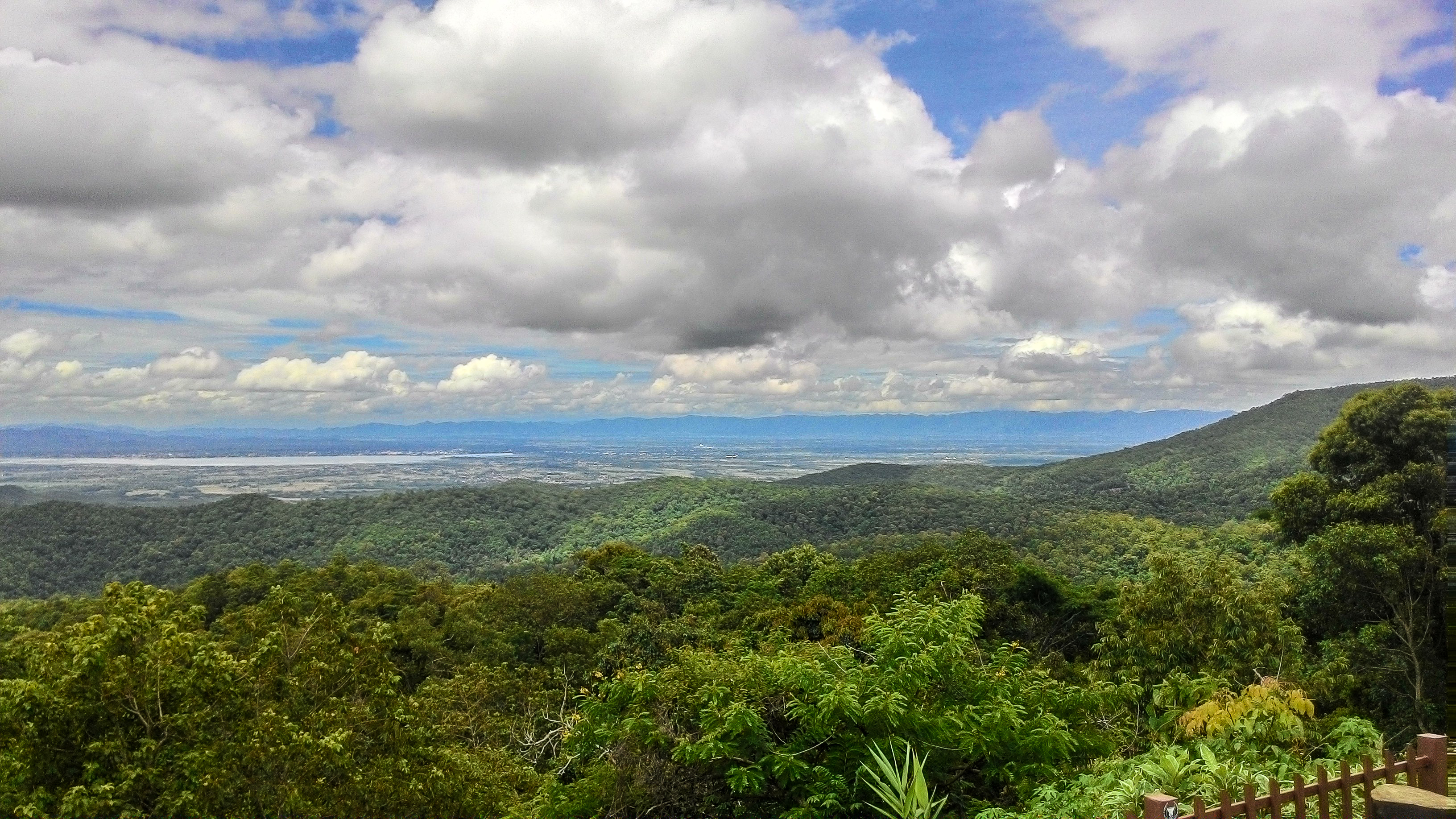
Phayao Lake Kwan View 2

Phayao Lake View

Phayao Lake

Sunset at Kwan Phayao

#6

Sunset at Kwan Phayao

Pha-Yao

Boys fishing

#fisherman ????

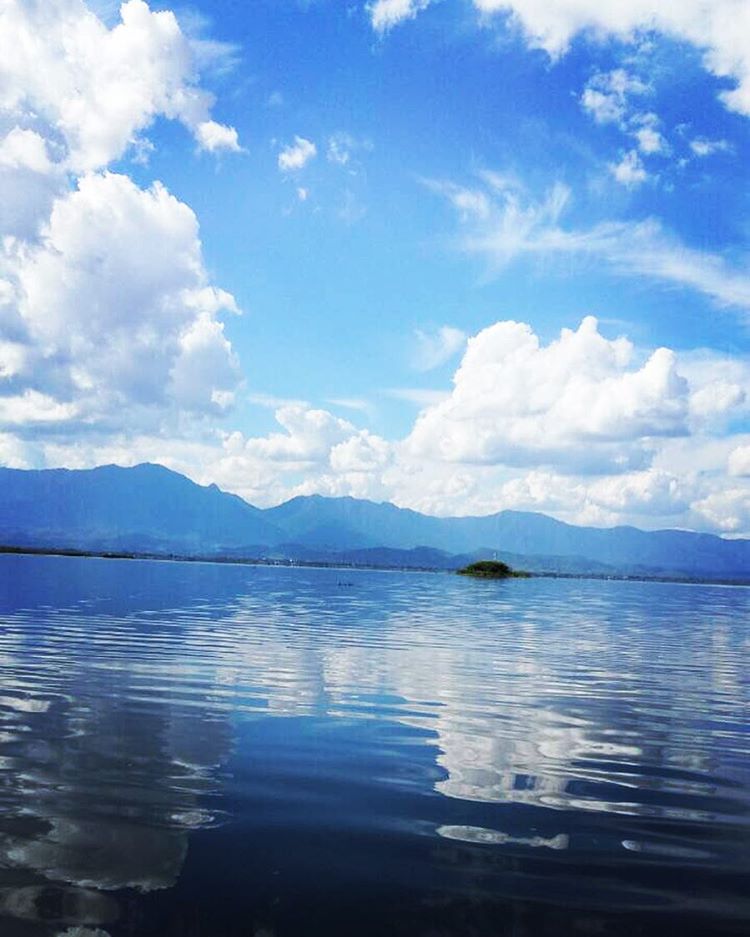
Sunset over Kwan Phayao

Sunset over Kwan Phayao
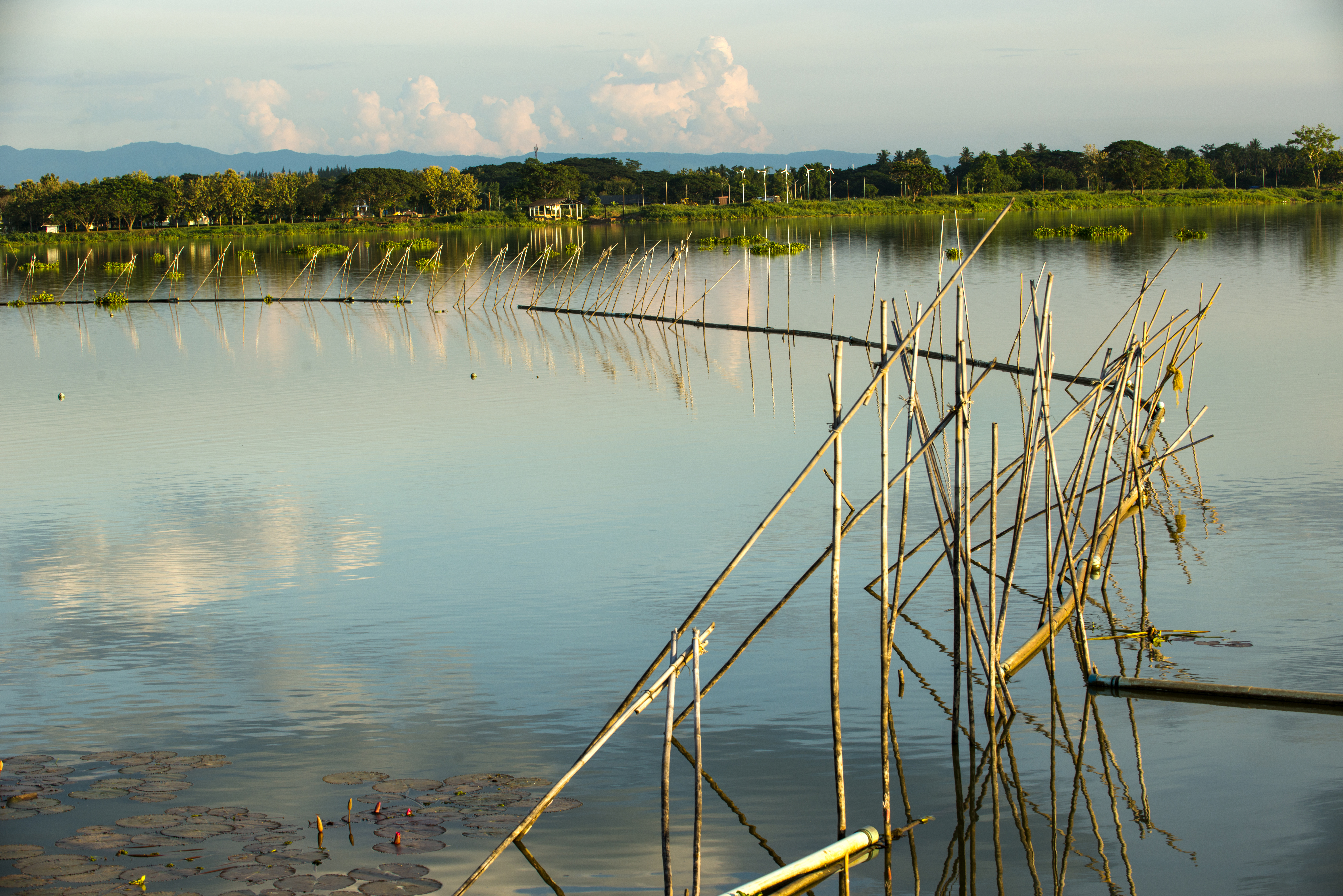
Water fence

Dragon at Sunset

Boat going to the Wat

#6

Lake Phayao
Topographic Map of Phayao Lake, Ban Sang, Mueang Phayao District, Phayao, Thailand
Find elevation by address:

Places near Phayao Lake, Ban Sang, Mueang Phayao District, Phayao, Thailand:
Phayao
Mueang Phayao District
Phayao
Mae Mo District
Nong Muang Khai District
Rong Kwang
Nan
Mueang Nan District
Nan
Nai Wiang
Chiang Klang
Chiang Klang District
Rong Kwang District
Siam Garden - Bungalows, Camping, Organic Farm
Thung Chang
Thung Chang District
Kon
Hospital Muang Ngeun
Muang Ngeun
Recent Searches:
- Elevation of Corso Fratelli Cairoli, 35, Macerata MC, Italy
- Elevation of Tallevast Rd, Sarasota, FL, USA
- Elevation of 4th St E, Sonoma, CA, USA
- Elevation of Black Hollow Rd, Pennsdale, PA, USA
- Elevation of Oakland Ave, Williamsport, PA, USA
- Elevation of Pedrógão Grande, Portugal
- Elevation of Klee Dr, Martinsburg, WV, USA
- Elevation of Via Roma, Pieranica CR, Italy
- Elevation of Tavkvetili Mountain, Georgia
- Elevation of Hartfords Bluff Cir, Mt Pleasant, SC, USA