Elevation of Mount Taylor, Mt Taylor, New Mexico, USA
Location: United States > New Mexico > San Mateo >
Longitude: -107.6081575
Latitude: 35.2386491
Elevation: 3436m / 11273feet
Barometric Pressure: 0KPa
Related Photos:
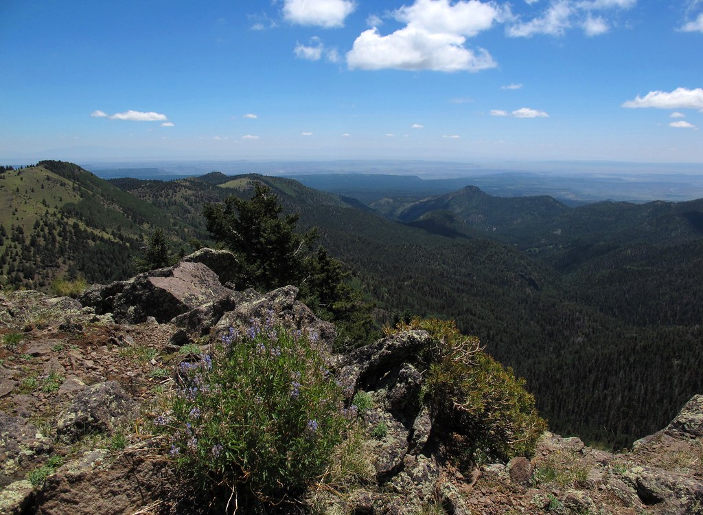
Tsoodził
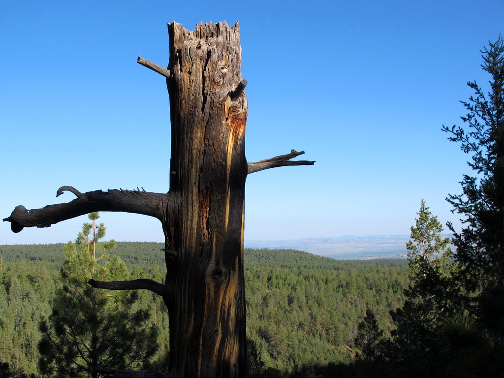
Still Standing
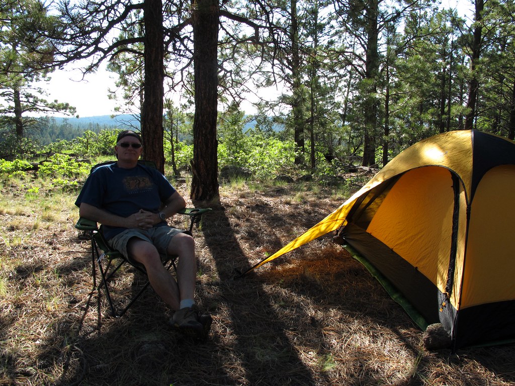
Out in the Boonies

HSMF!
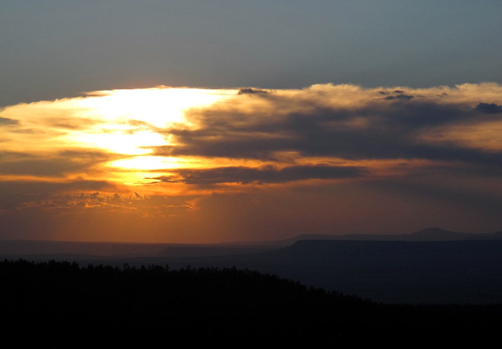
Thermonuclear Sky
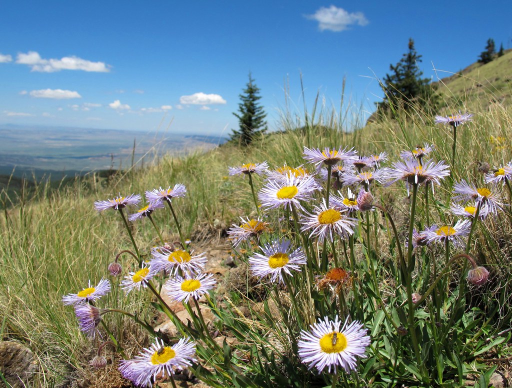
Alpine Garden

forest shadow and light
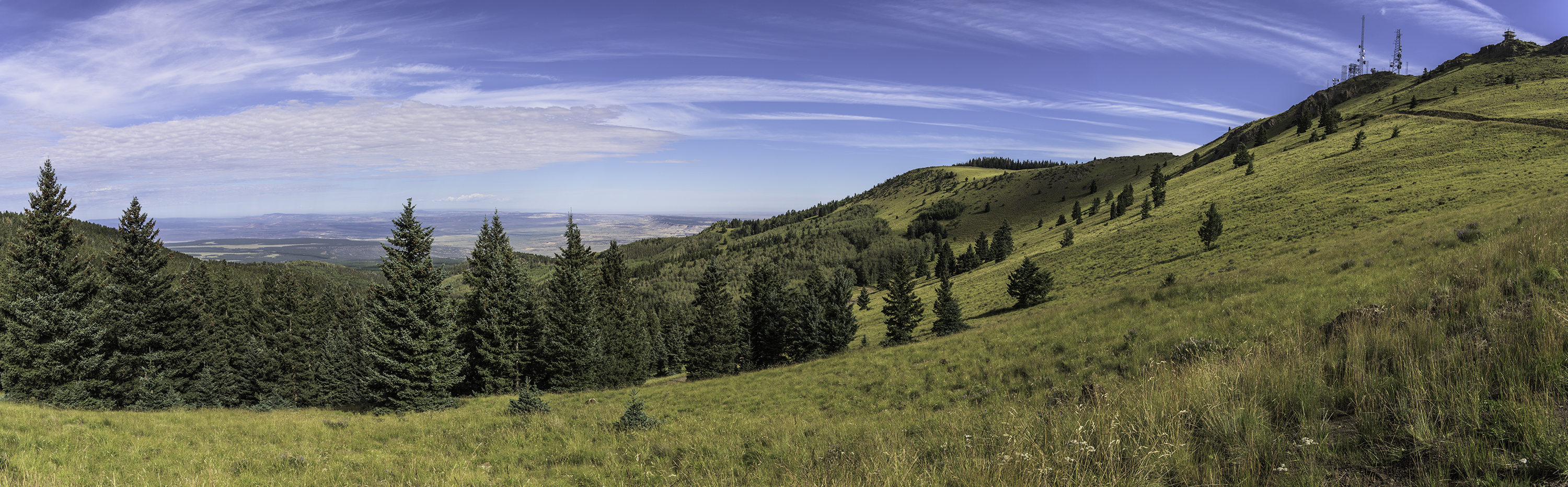
Looking North from Mt Taylor
Topographic Map of Mount Taylor, Mt Taylor, New Mexico, USA
Find elevation by address:

Places near Mount Taylor, Mt Taylor, New Mexico, USA:
San Mateo
Co Rd 5, Paguate, NM, USA
New Mexico State University Grants
Milan
Bluewater, NM, USA
Bluewater
Bobcat Pass
Prewitt
Thoreau
Lower Mission Road
Crownpoint
Ojo Encino
Mckinley County
Chaco Culture Nhs Visitor Center
Chaco Culture National Historical Park
Chetro Ketl
Pueblo Bonito
Pueblo Alto Trail
Ah-shi-sle-pah Wilderness
80 Co Rd 11
Recent Searches:
- Elevation of Dharamkot Tahsil, Punjab, India
- Elevation of Bhinder Khurd, Dharamkot Tahsil, Punjab, India
- Elevation of 2881, Chabot Drive, San Bruno, San Mateo County, California, 94066, USA
- Elevation of 10370, West 107th Circle, Westminster, Jefferson County, Colorado, 80021, USA
- Elevation of 611, Roman Road, Old Ford, Bow, London, England, E3 2RW, United Kingdom
- Elevation of 116, Beartown Road, Underhill, Chittenden County, Vermont, 05489, USA
- Elevation of Window Rock, Colfax County, New Mexico, 87714, USA
- Elevation of 4807, Rosecroft Street, Kempsville Gardens, Virginia Beach, Virginia, 23464, USA
- Elevation map of Matawinie, Quebec, Canada
- Elevation of Sainte-Émélie-de-l'Énergie, Matawinie, Quebec, Canada
- Elevation of Rue du Pont, Sainte-Émélie-de-l'Énergie, Matawinie, Quebec, J0K2K0, Canada
- Elevation of 8, Rue de Bécancour, Blainville, Thérèse-De Blainville, Quebec, J7B1N2, Canada
- Elevation of Wilmot Court North, 163, University Avenue West, Northdale, Waterloo, Region of Waterloo, Ontario, N2L6B6, Canada
- Elevation map of Panamá Province, Panama
- Elevation of Balboa, Panamá Province, Panama
- Elevation of San Miguel, Balboa, Panamá Province, Panama
- Elevation of Isla Gibraleón, San Miguel, Balboa, Panamá Province, Panama
- Elevation of 4655, Krischke Road, Schulenburg, Fayette County, Texas, 78956, USA
- Elevation of Carnegie Avenue, Downtown Cleveland, Cleveland, Cuyahoga County, Ohio, 44115, USA
- Elevation of Walhonding, Coshocton County, Ohio, USA