Elevation of New Mexico State University Grants, 3rd St, Grants, NM, USA
Location: United States > New Mexico > Cibola County > Grants >
Longitude: -107.84290
Latitude: 35.1664981
Elevation: -10000m / -32808feet
Barometric Pressure: 295KPa
Elevation Map:
Satellite Map:
Related Photos:

smokey sunset

DSC_3117 (Copy)
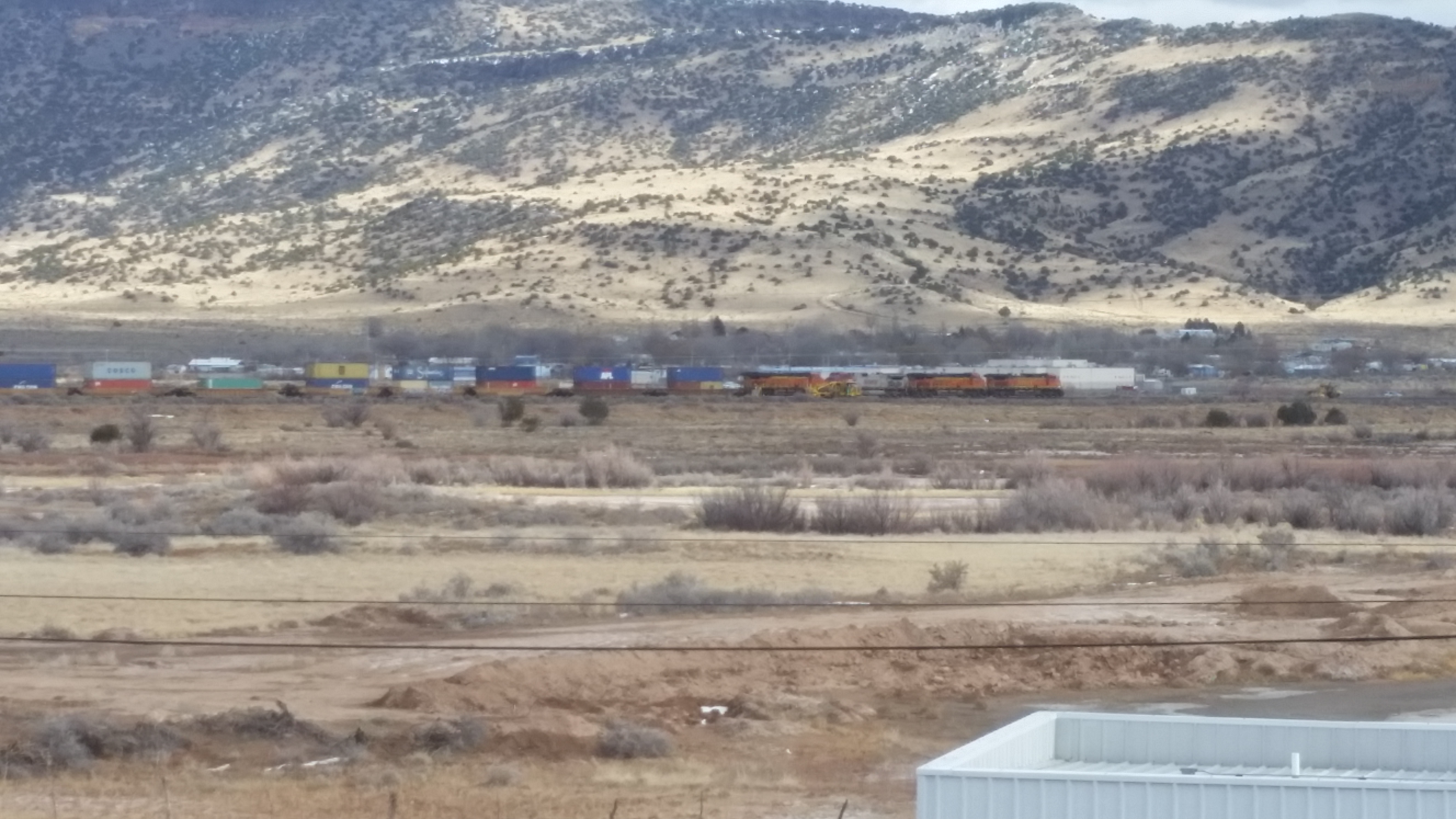
Room With a View (of the trains)
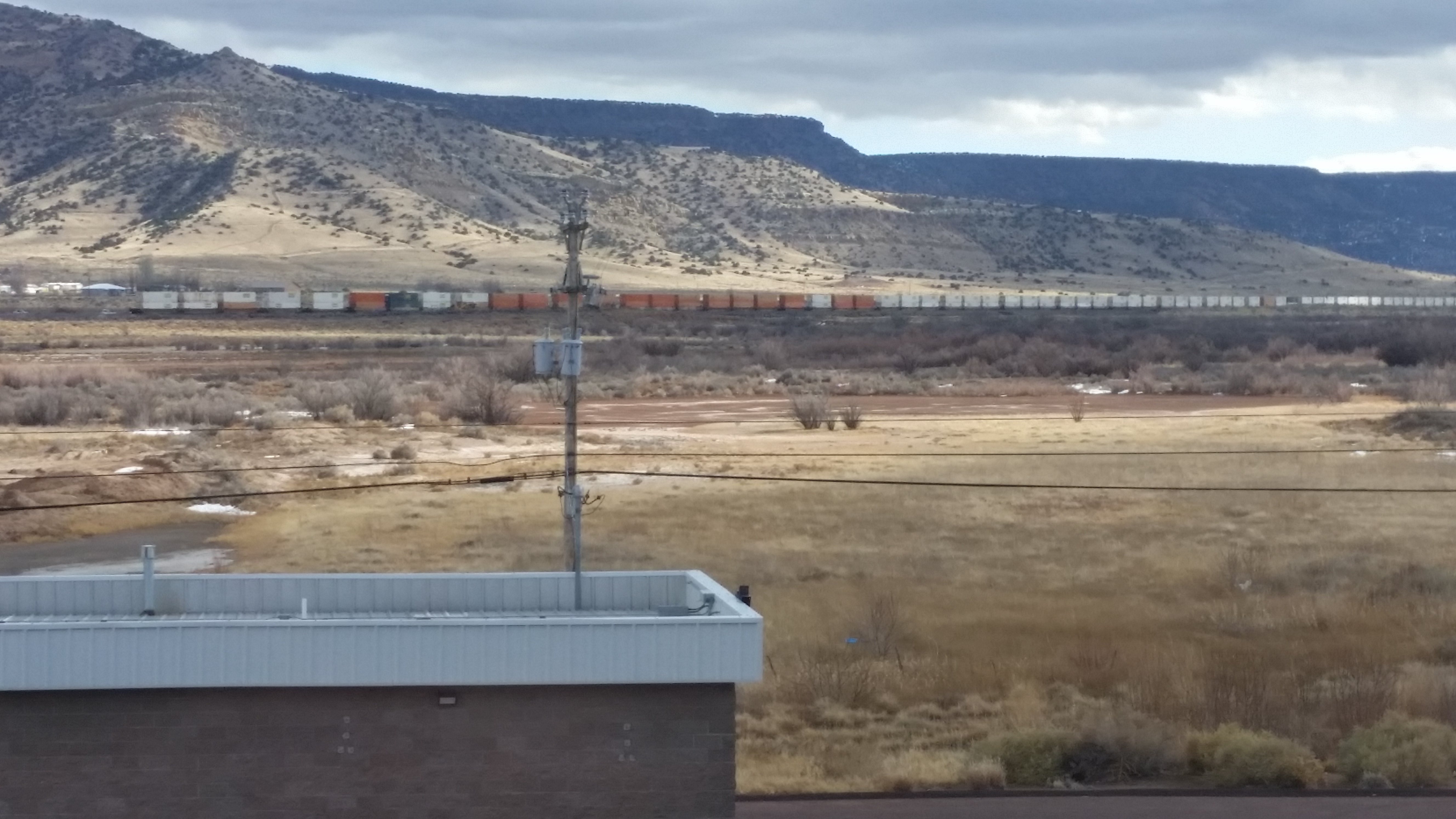
Room With a View (of the trains)

Gilbert's Barn

What to do on a lazy summer day

2010 Monsoons - Night traffic

Route 66 Signage: Street View, Lavaland Motel, now RV Park, Grants, NM
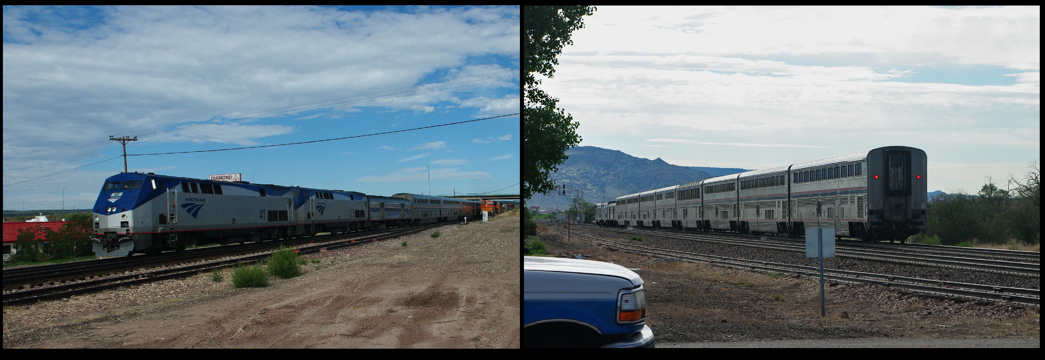
Amtrak Southwest Chief

2011 Monsoons - Kissing cousins
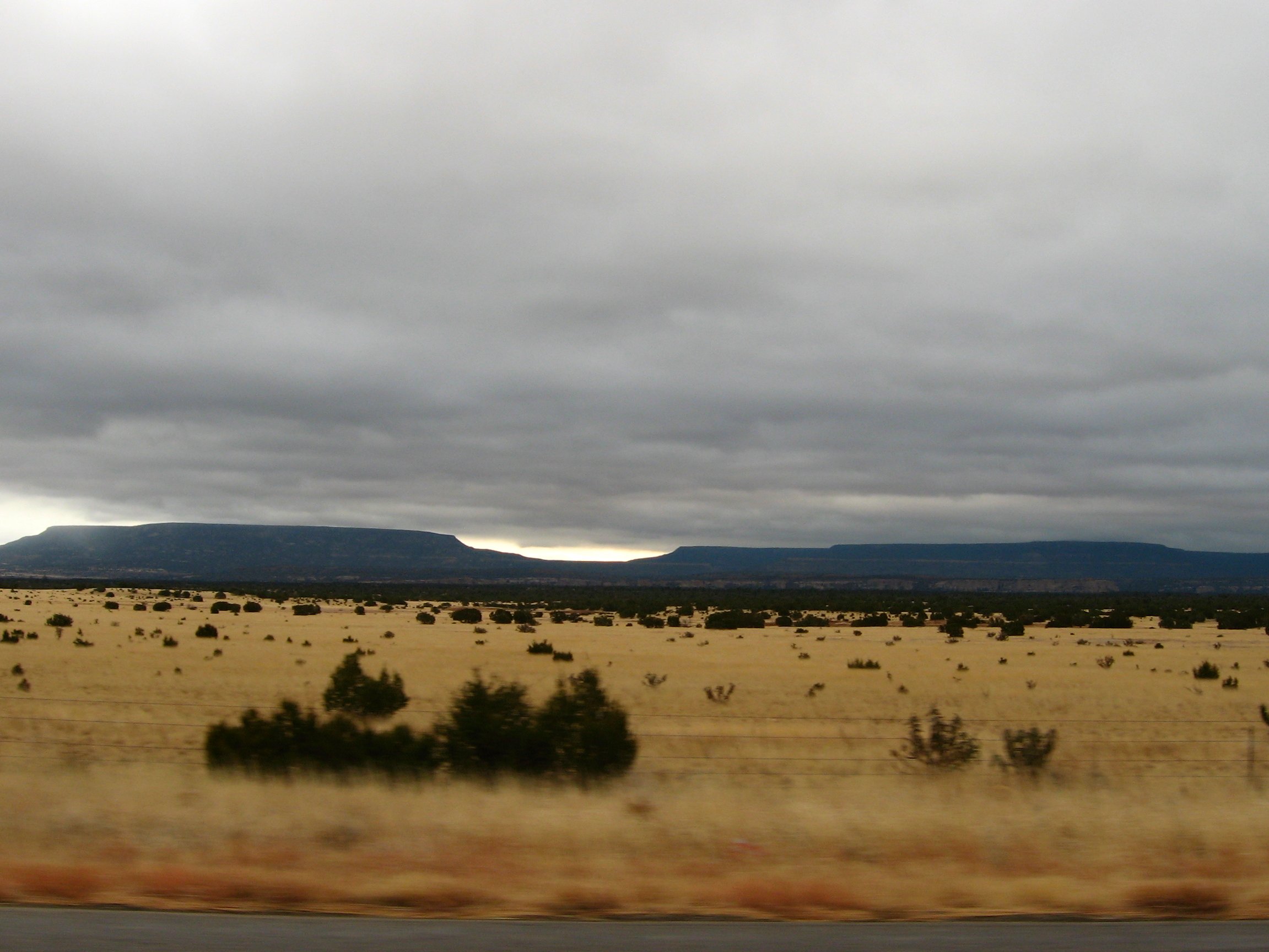
View of Bluffs and Buttes to the East from S.R. 53 South of Grants, New Mexico
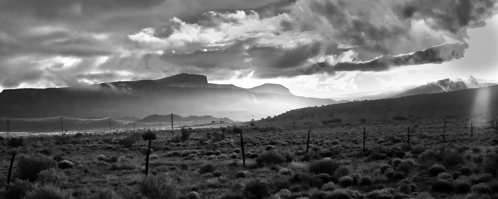
Mt. Taylor and Mesa (black and white)

summer field

Sunset over Grants, NM

Grants View

trust [explored]

Where the cars are dying

2018-03-19_10-56-56

september sunrise
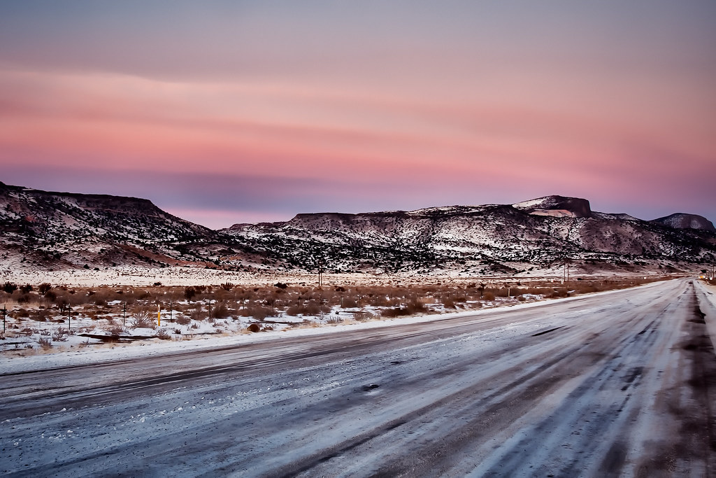
winter road

new mexico sunrise

last snow of the year

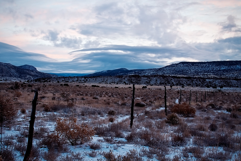
winter's prelude
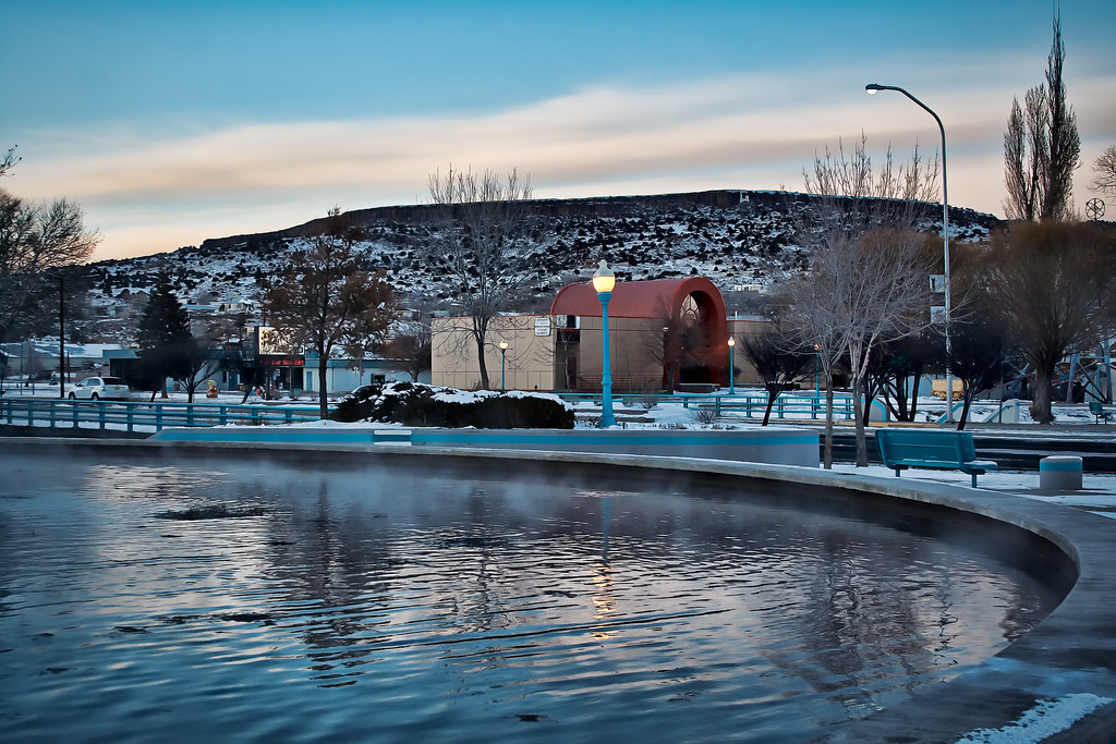
riverwalk fountain

winter road (black & white)

forest shadow and light
Former Town of Anaconda, NM (Superfund Cleanup Site at Depleted Uranium Mine)

fire in the sky
snow covered

different perspective

The Roarin' 20's Liquor Store
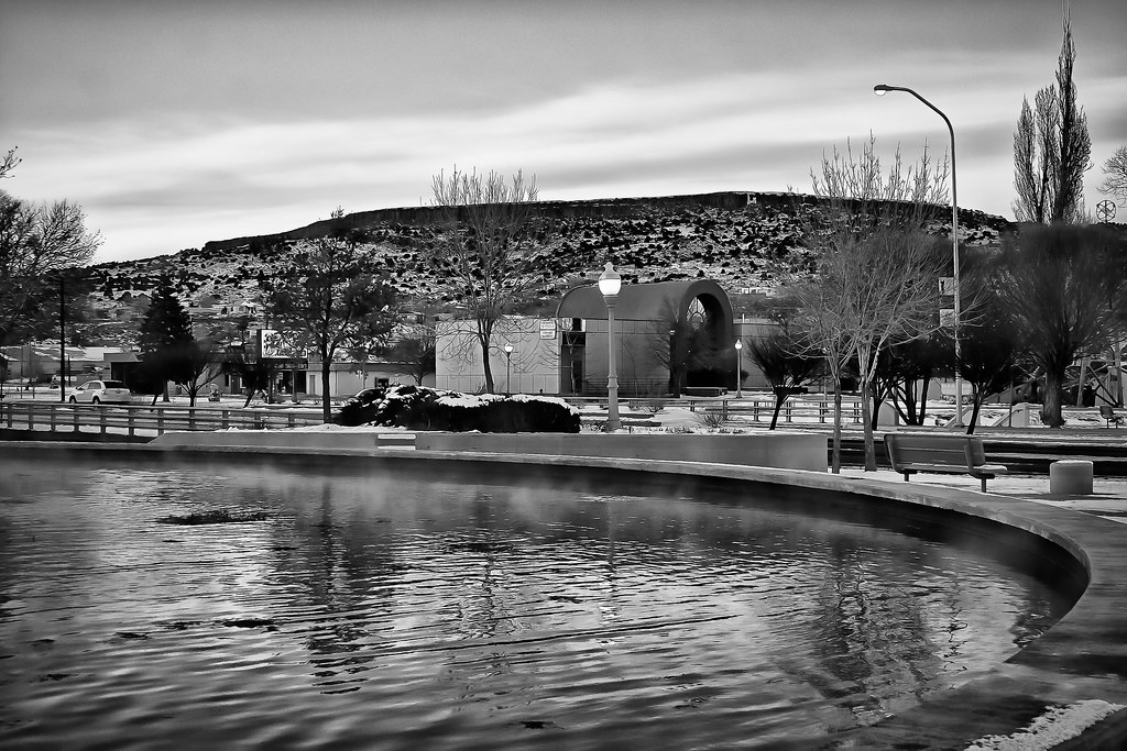
riverwalk fountain
Topographic Map of New Mexico State University Grants, 3rd St, Grants, NM, USA
Find elevation by address:

Places near New Mexico State University Grants, 3rd St, Grants, NM, USA:
Milan
Bluewater
Bluewater, NM, USA
Mount Taylor
San Mateo
Prewitt
Thoreau
Co Rd 5, Paguate, NM, USA
Bobcat Pass
Crownpoint
Mckinley County
Chaco Culture Nhs Visitor Center
Lower Mission Road
Chaco Culture National Historical Park
Chetro Ketl
Pueblo Bonito
Pueblo Alto Trail
Ojo Encino
Ah-shi-sle-pah Wilderness
Nageezi
Recent Searches:
- Elevation of Corso Fratelli Cairoli, 35, Macerata MC, Italy
- Elevation of Tallevast Rd, Sarasota, FL, USA
- Elevation of 4th St E, Sonoma, CA, USA
- Elevation of Black Hollow Rd, Pennsdale, PA, USA
- Elevation of Oakland Ave, Williamsport, PA, USA
- Elevation of Pedrógão Grande, Portugal
- Elevation of Klee Dr, Martinsburg, WV, USA
- Elevation of Via Roma, Pieranica CR, Italy
- Elevation of Tavkvetili Mountain, Georgia
- Elevation of Hartfords Bluff Cir, Mt Pleasant, SC, USA