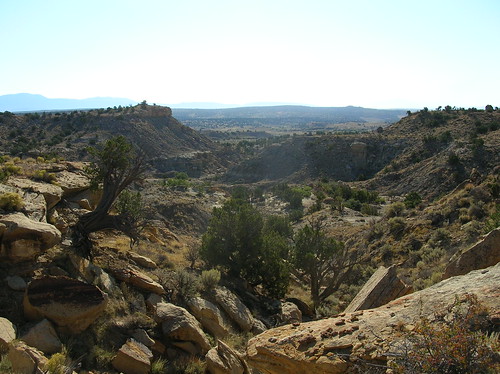
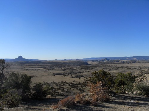
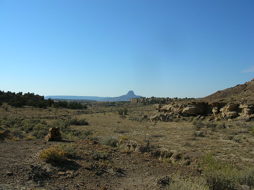
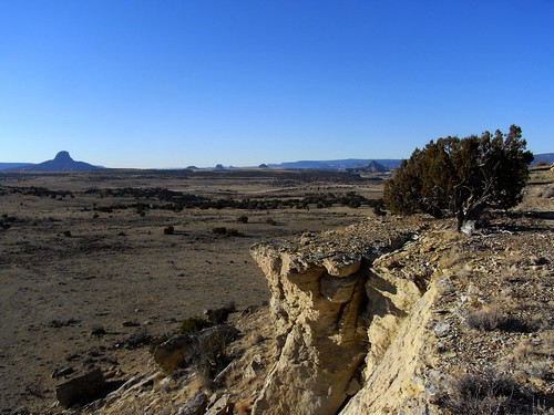
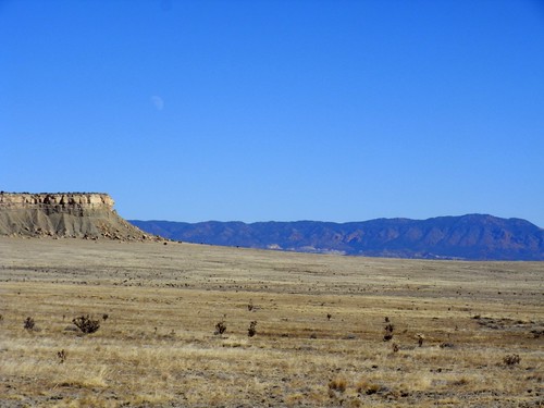
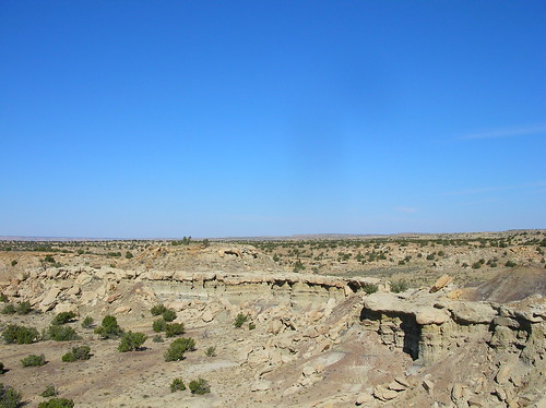
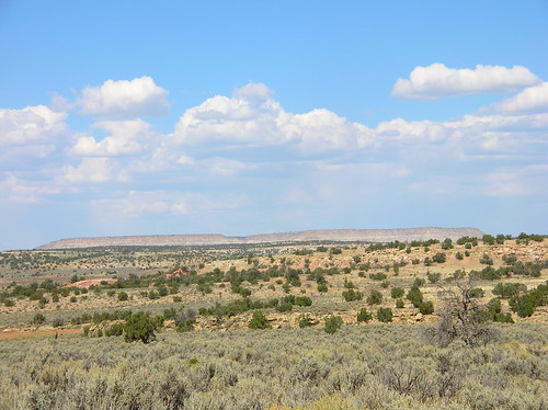
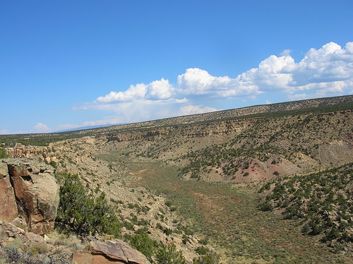
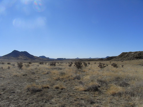
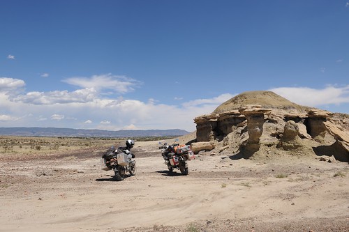
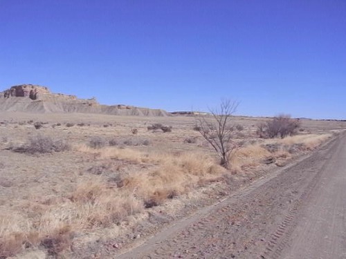
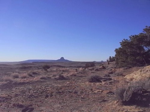
Elevation of Lower Mission Road, Lower Mission Rd, Torreon, NM, USA
Location: United States > New Mexico > Ojo Encino >
Longitude: -107.20615
Latitude: 35.7703889
Elevation: 1948m / 6391feet
Barometric Pressure: 80KPa
Related Photos:
Topographic Map of Lower Mission Road, Lower Mission Rd, Torreon, NM, USA
Find elevation by address:

Places near Lower Mission Road, Lower Mission Rd, Torreon, NM, USA:
Ojo Encino
80 Co Rd 11
4 St Hwy, Cuba, NM, USA
Cuba
La Jara
Bobcat Pass
Regina
San Mateo
Co Rd 5, Paguate, NM, USA
Mount Taylor
Nageezi
Chaco Culture Nhs Visitor Center
Chaco Culture National Historical Park
Chetro Ketl
Pueblo Bonito
Ah-shi-sle-pah Wilderness
Pueblo Alto Trail
New Mexico State University Grants
Bluewater, NM, USA
Milan
Recent Searches:
- Elevation of Corso Fratelli Cairoli, 35, Macerata MC, Italy
- Elevation of Tallevast Rd, Sarasota, FL, USA
- Elevation of 4th St E, Sonoma, CA, USA
- Elevation of Black Hollow Rd, Pennsdale, PA, USA
- Elevation of Oakland Ave, Williamsport, PA, USA
- Elevation of Pedrógão Grande, Portugal
- Elevation of Klee Dr, Martinsburg, WV, USA
- Elevation of Via Roma, Pieranica CR, Italy
- Elevation of Tavkvetili Mountain, Georgia
- Elevation of Hartfords Bluff Cir, Mt Pleasant, SC, USA
