Elevation of San Mateo, NM, USA
Location: United States > New Mexico >
Longitude: -107.64311
Latitude: 35.3314225
Elevation: 2228m / 7310feet
Barometric Pressure: 77KPa
Elevation Map:
Satellite Map:
Related Photos:

Still Standing

Out in the Boonies

Tsoodził

Thermonuclear Sky
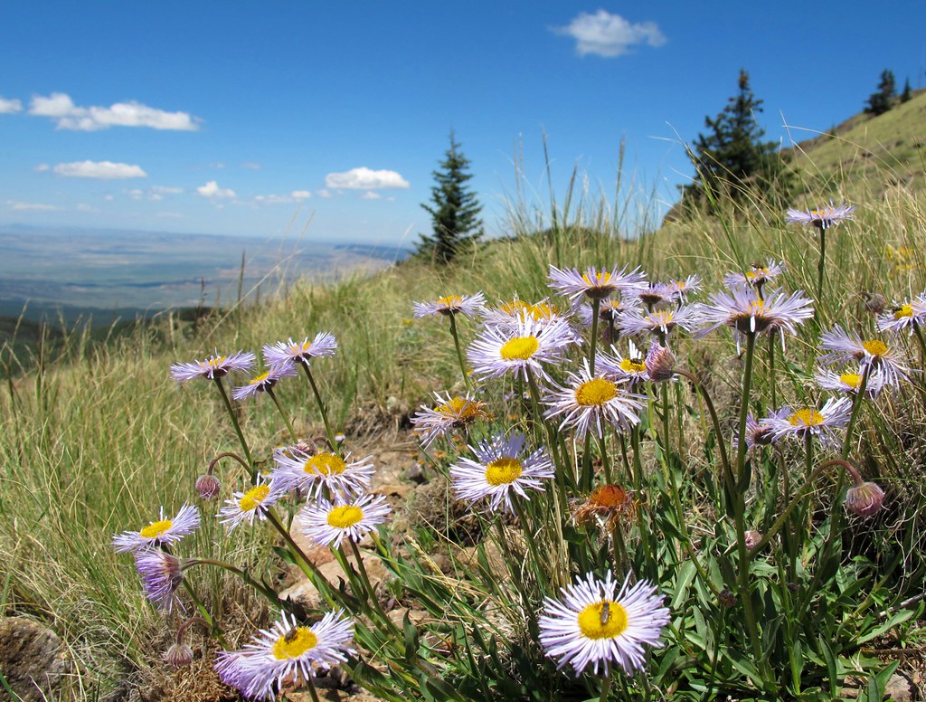
Alpine Garden

Seeking Fun and Adventure

The Tiny Pinkish Ones

HSMF!

Mosca Peak

Tso'odzil cumulonimbus building

Looking North from Mt Taylor

forest shadow and light
Topographic Map of San Mateo, NM, USA
Find elevation by address:

Places in San Mateo, NM, USA:
Places near San Mateo, NM, USA:
Mount Taylor
New Mexico State University Grants
Milan
Co Rd 5, Paguate, NM, USA
Bluewater, NM, USA
Bobcat Pass
Bluewater
Prewitt
Thoreau
Crownpoint
Lower Mission Road
Ojo Encino
Mckinley County
Chaco Culture Nhs Visitor Center
Chaco Culture National Historical Park
Chetro Ketl
Pueblo Bonito
Pueblo Alto Trail
Ah-shi-sle-pah Wilderness
Nageezi
Recent Searches:
- Elevation of Corso Fratelli Cairoli, 35, Macerata MC, Italy
- Elevation of Tallevast Rd, Sarasota, FL, USA
- Elevation of 4th St E, Sonoma, CA, USA
- Elevation of Black Hollow Rd, Pennsdale, PA, USA
- Elevation of Oakland Ave, Williamsport, PA, USA
- Elevation of Pedrógão Grande, Portugal
- Elevation of Klee Dr, Martinsburg, WV, USA
- Elevation of Via Roma, Pieranica CR, Italy
- Elevation of Tavkvetili Mountain, Georgia
- Elevation of Hartfords Bluff Cir, Mt Pleasant, SC, USA